I had a free day to myself today so I was up early enough to make a decision on what to do. It was a bit too gusty for paddling in The Lakes so I packed a day sack and headed for the hills.
The weather was a bit mixed at home with strong north easterlies blowing about so I wasn't too sure what to wear, in the end I layered up in wool and stuck my ventile in my pack. I was so glad I packed it as once I got up on the fell tops I was right in the teeth of the wind with not much shelter for my route.
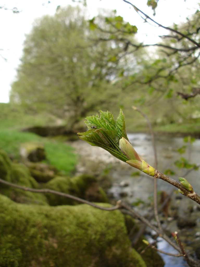
The pics aren't great sorry, but it was a day out so thought I'd share. For some reason I struggle to get decent snaps of the hills. They're all a bit samey.
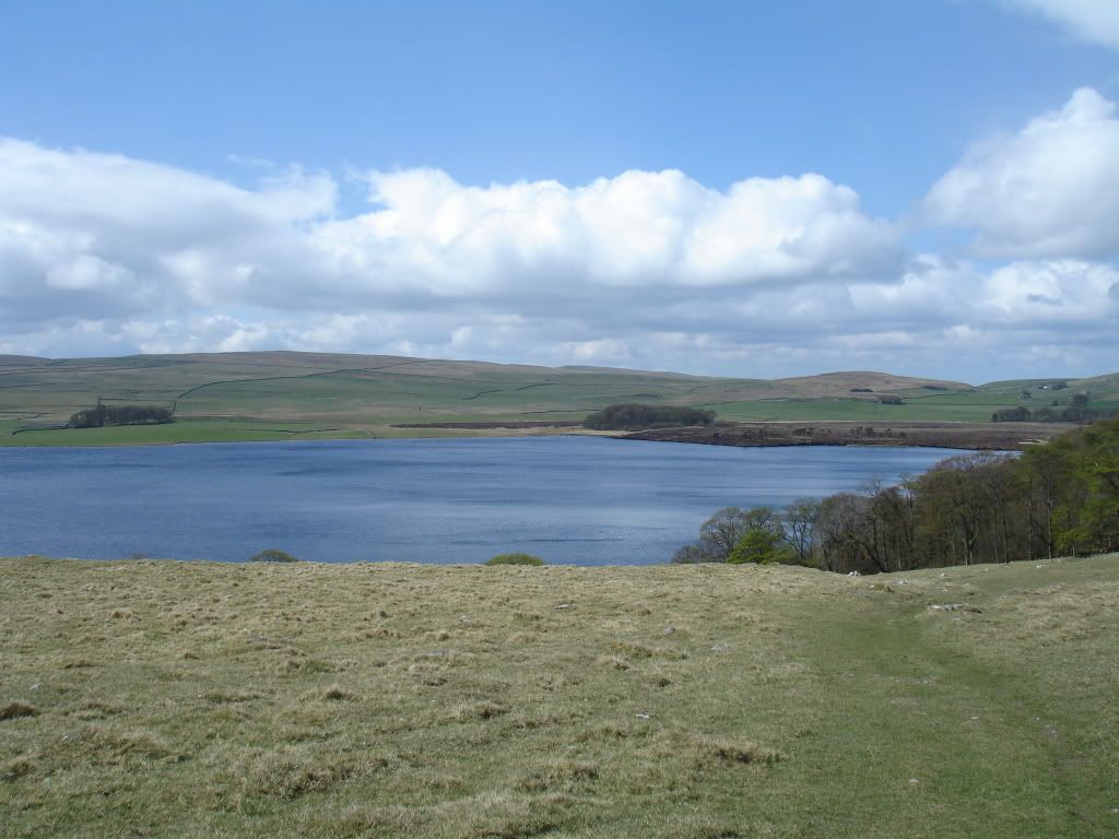
So about 10:00 I arrived at Street Gate, just a couple of miles north of Malham village. I picked up the nearby path north west which would lead me to Malham Tarn.
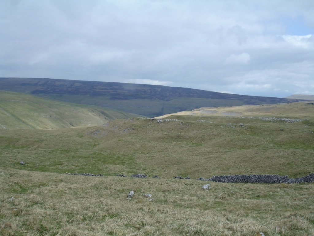
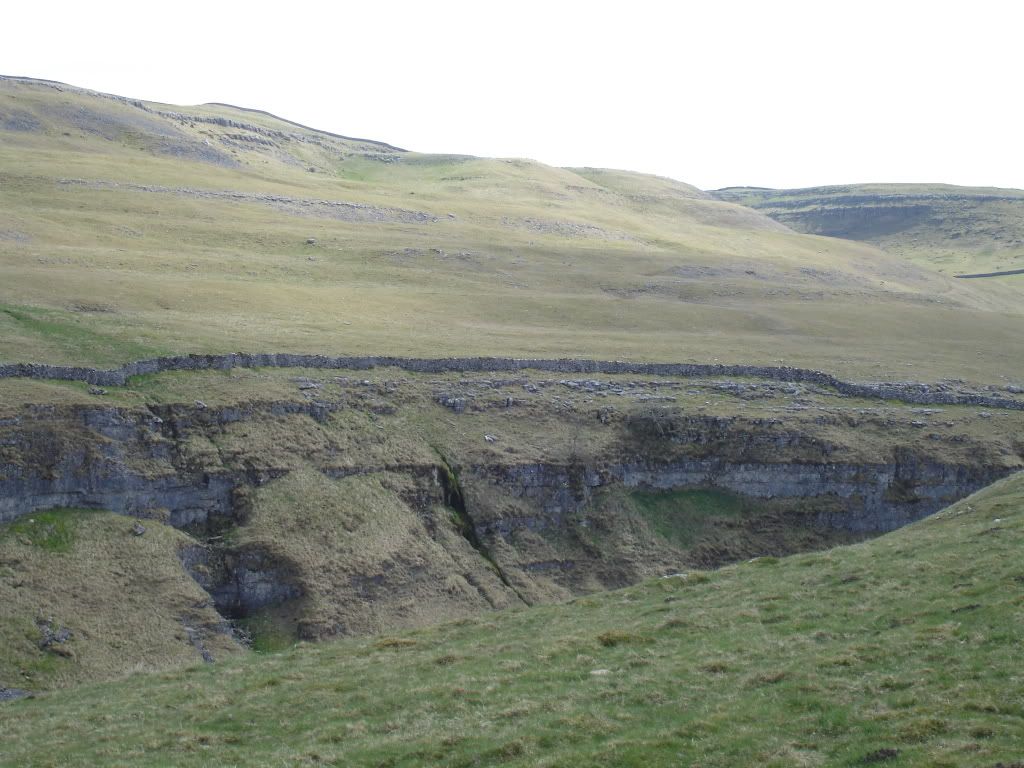
Just before reaching the field centre I broke away from the nice shale path and took off up into the hills proper.
Passing a small derelict farm stead I snaffled a few dry sticks to use in my stove later. Trees are few and far between up on the high moors.
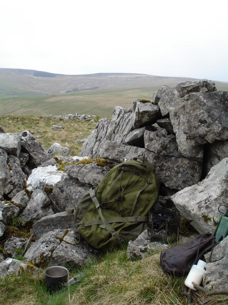
After about four miles I stopped for a brew behind a limestone ledge.
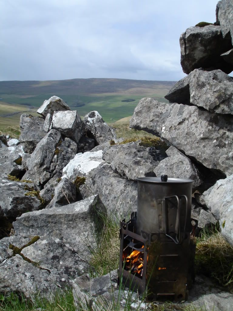
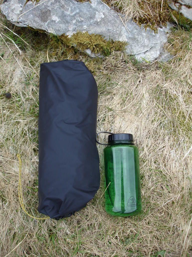
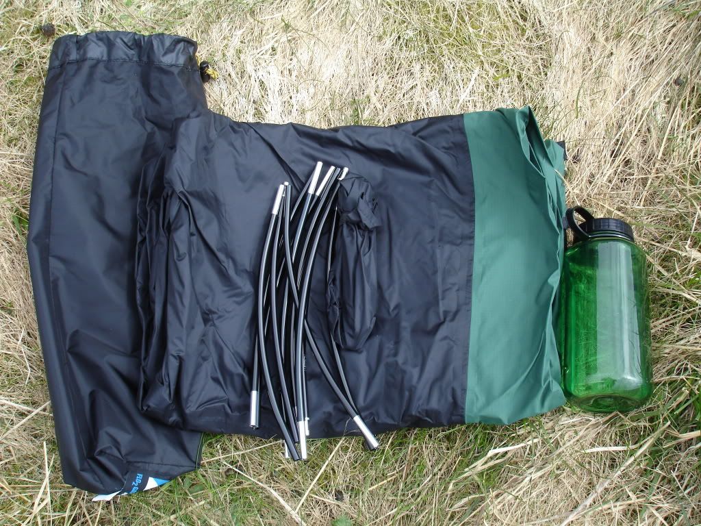
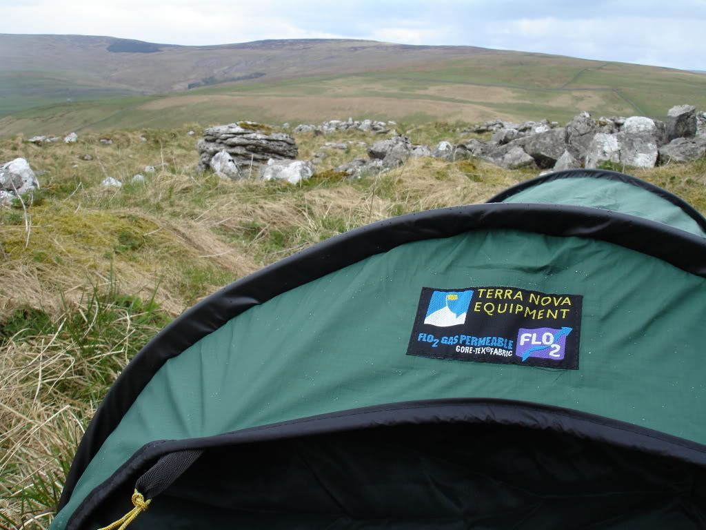
And then it was time to have a play with my new toy ...
Bish bash bosh, one minute later and I have this ...

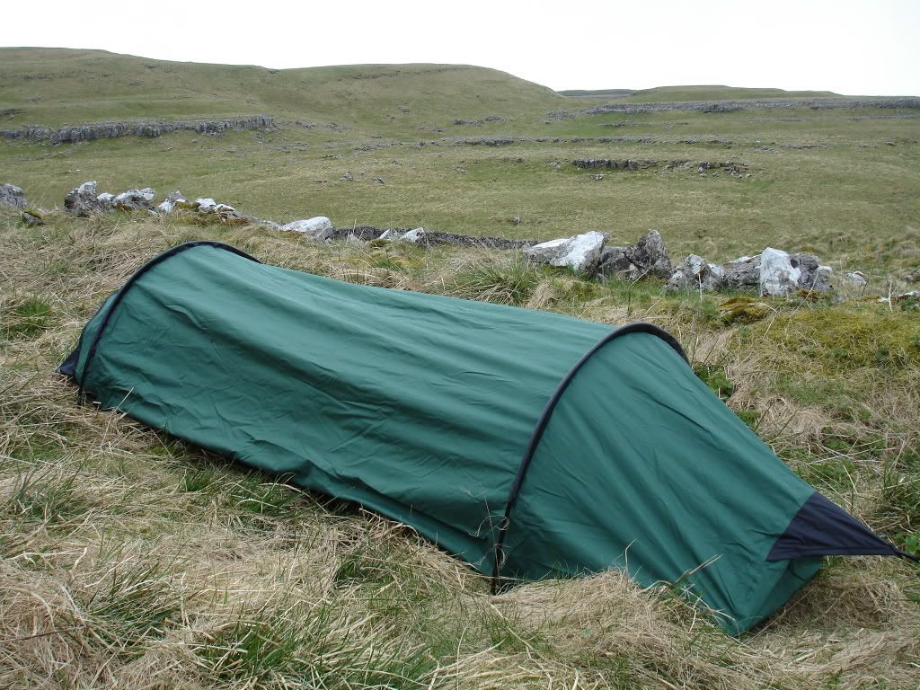
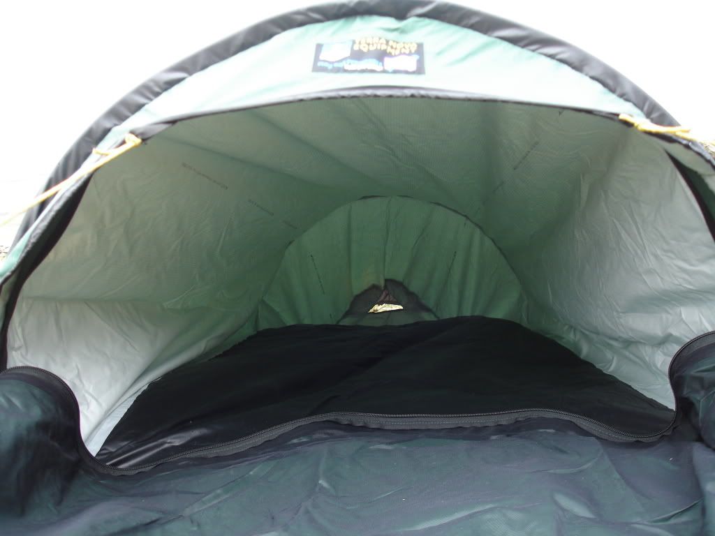
I took a piccy of the inside but there's a grass hump in the middle, it's huge in there though ..
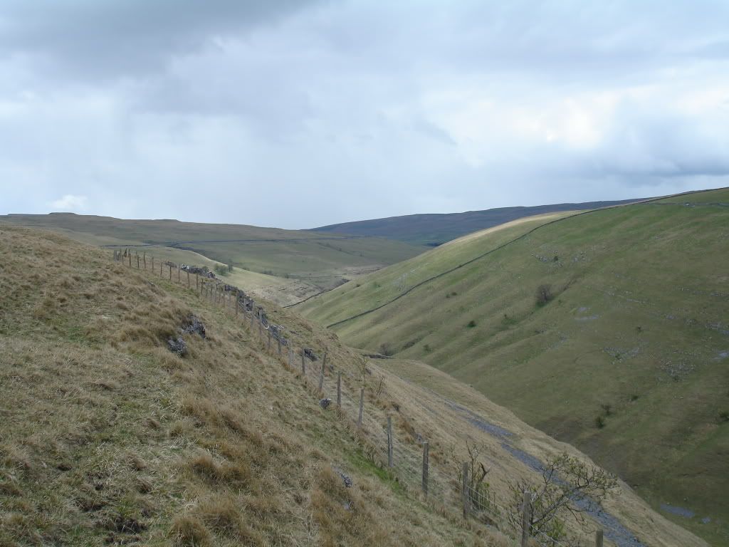
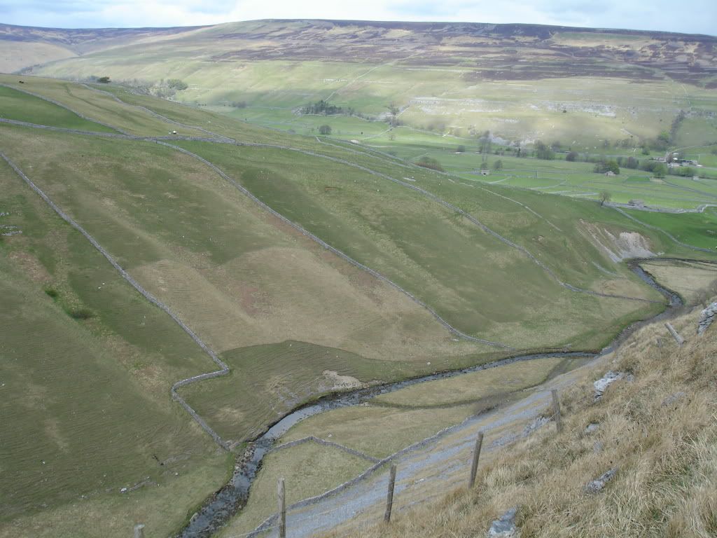
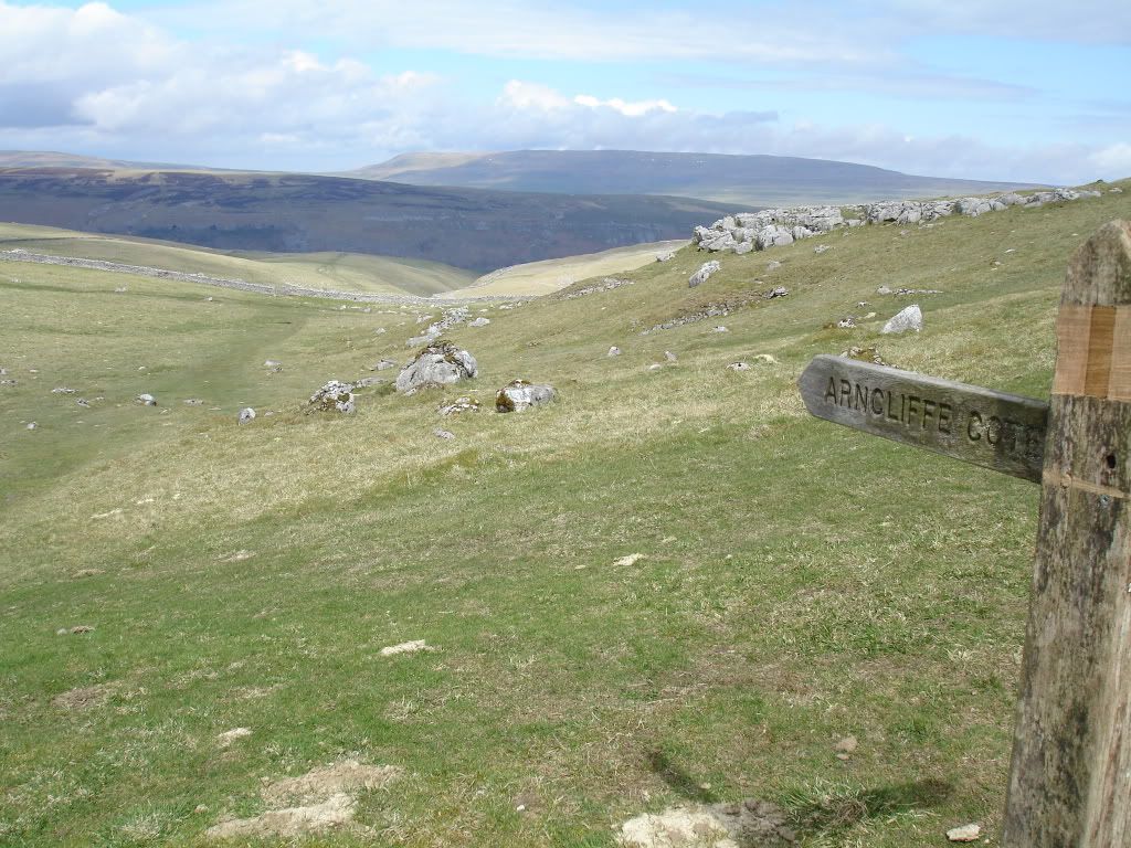
So I continued on along the Monks Road ..
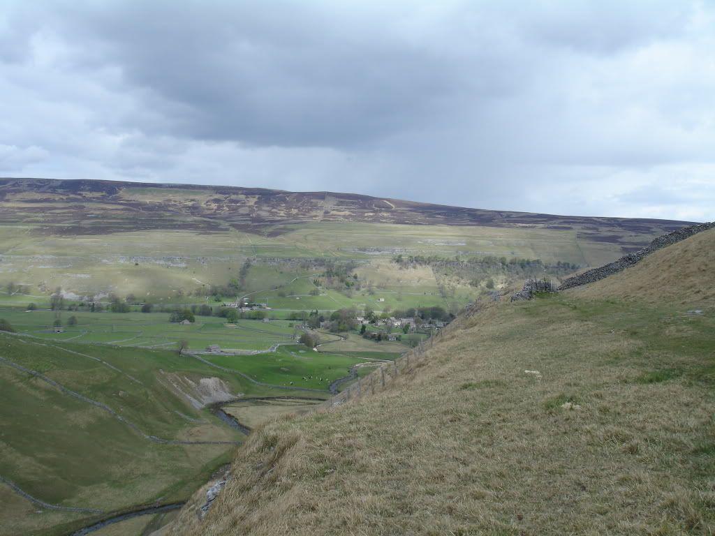
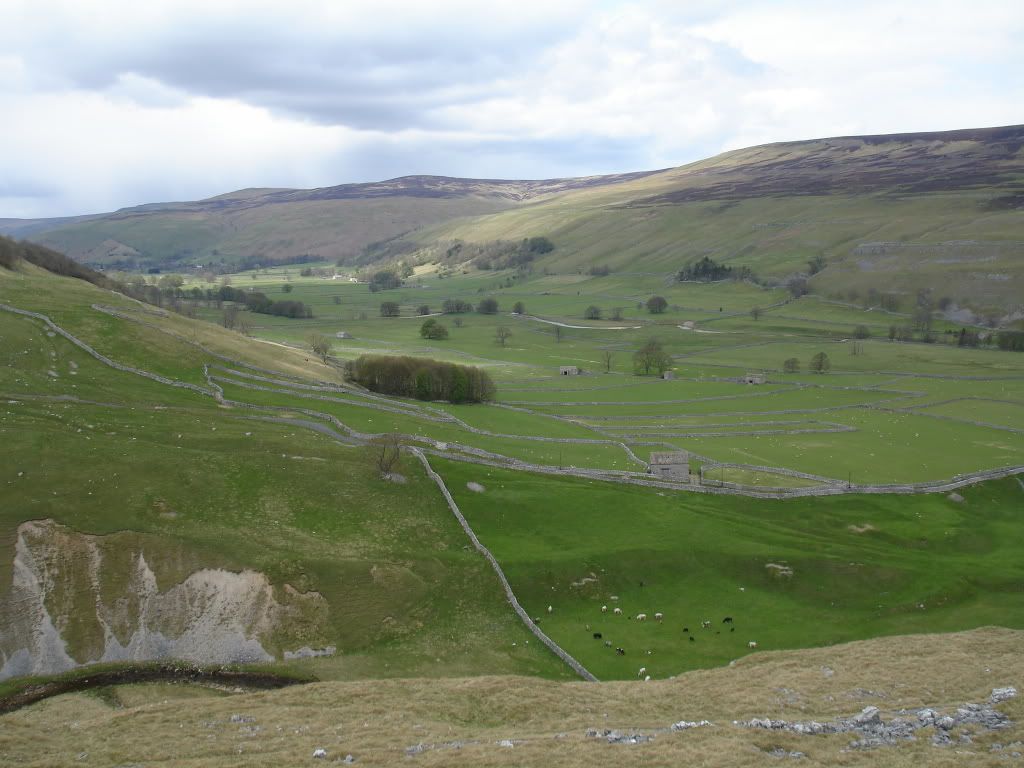
After a couple more miles I dropped down into the village of Arncliffe, a beautiful little village with a handful of houses, a green and a pub, perfect. I had a quick half and I was off again, seemed rude not to stop.
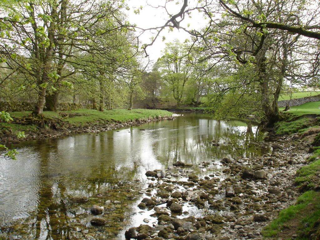
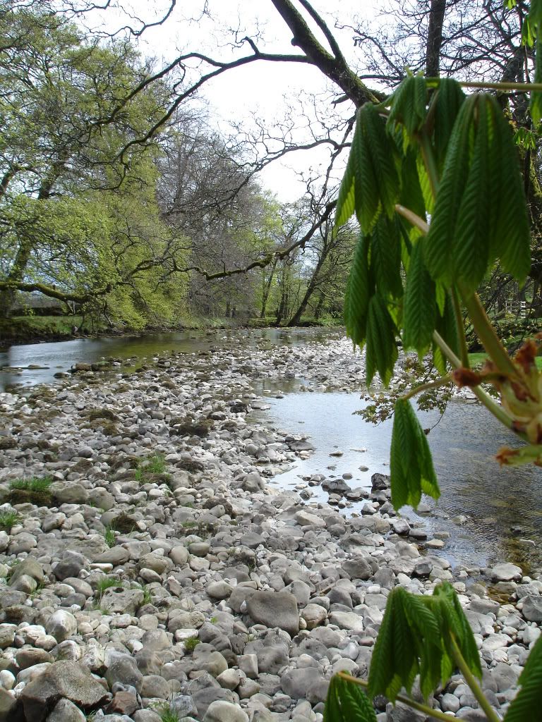
I then picked up the River Skirfare for a mile or so as it meandered its way along the valley bottom.
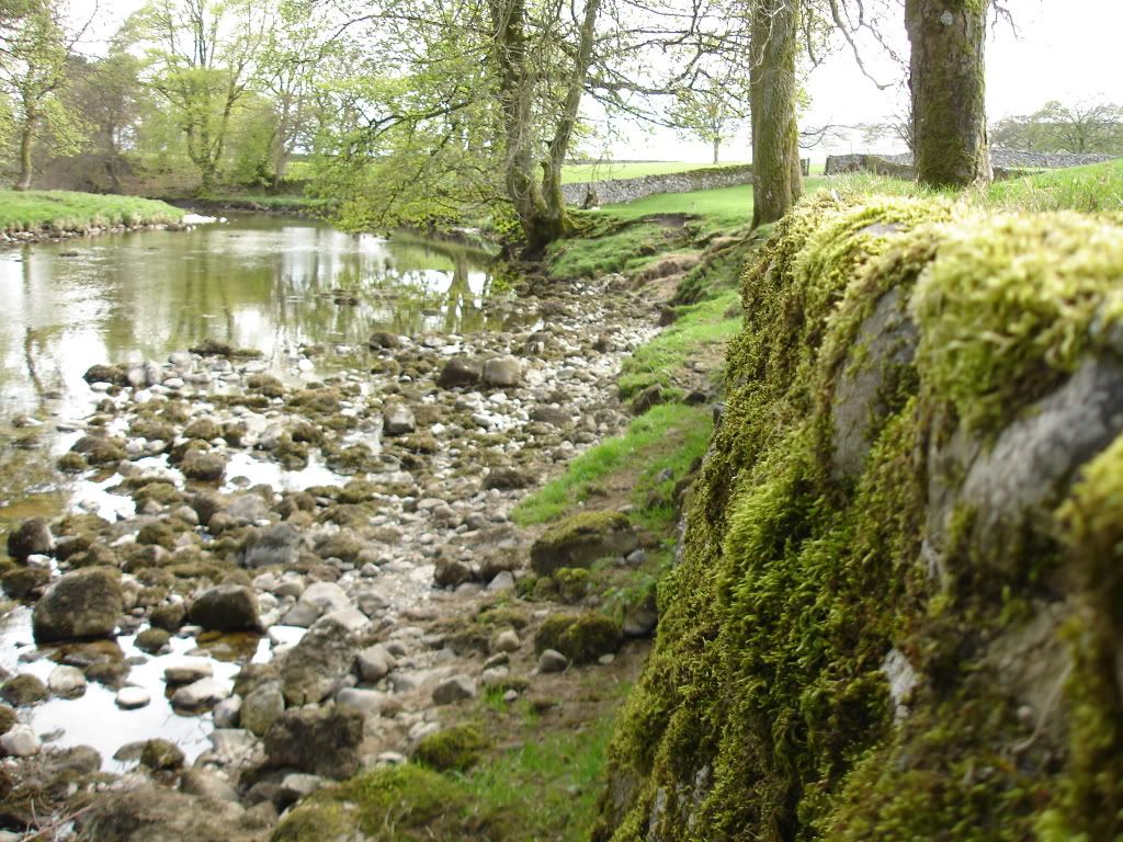
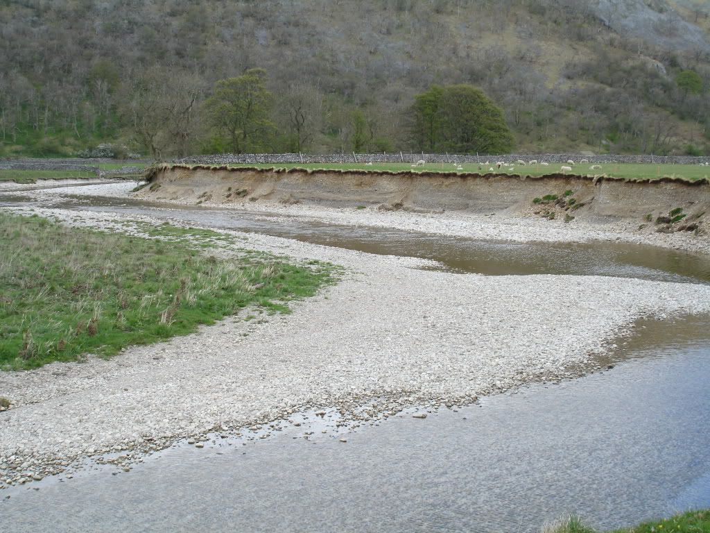
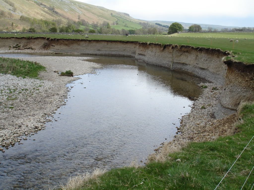
They must get some serious floods down here looking at the state of the banks, not today though") The exposed banks were home to loads of what I thought were Sand Martins, I could be wrong though.
The exposed banks were home to loads of what I thought were Sand Martins, I could be wrong though.
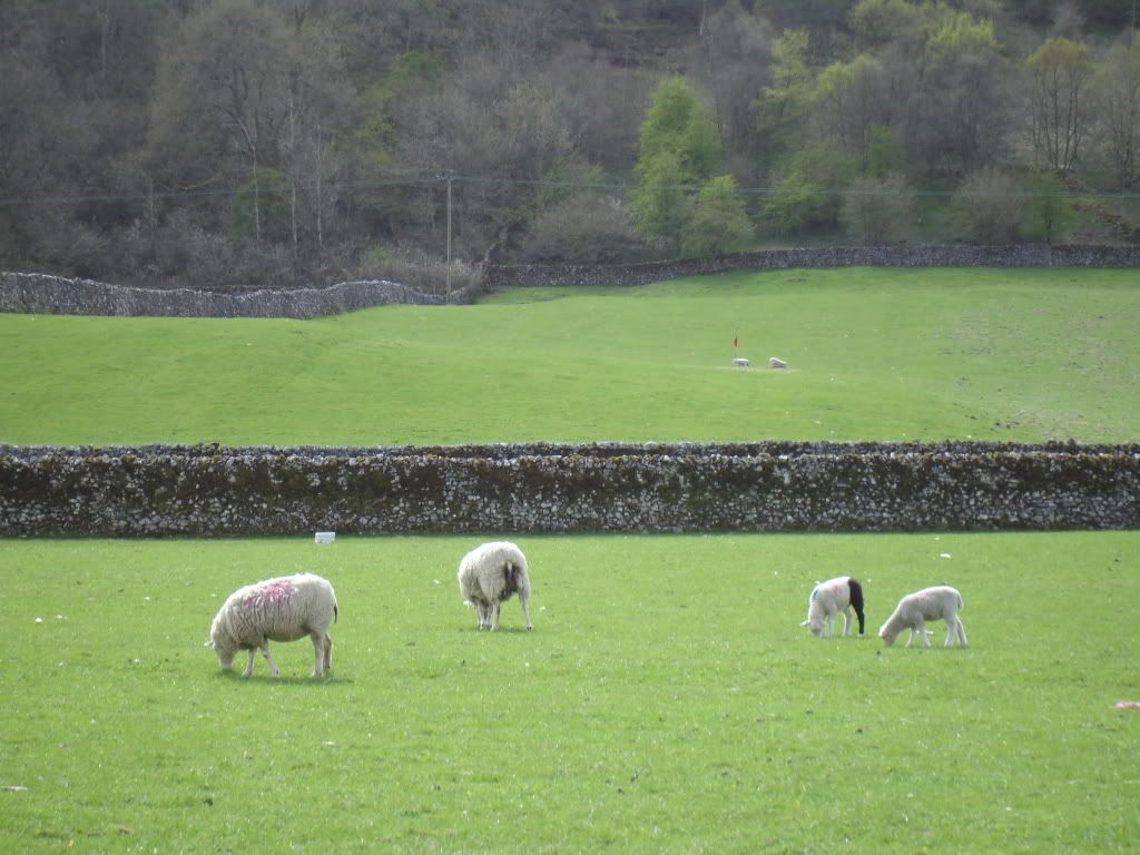
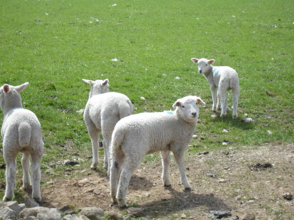
Lots of these weird white fluffy things in the valley
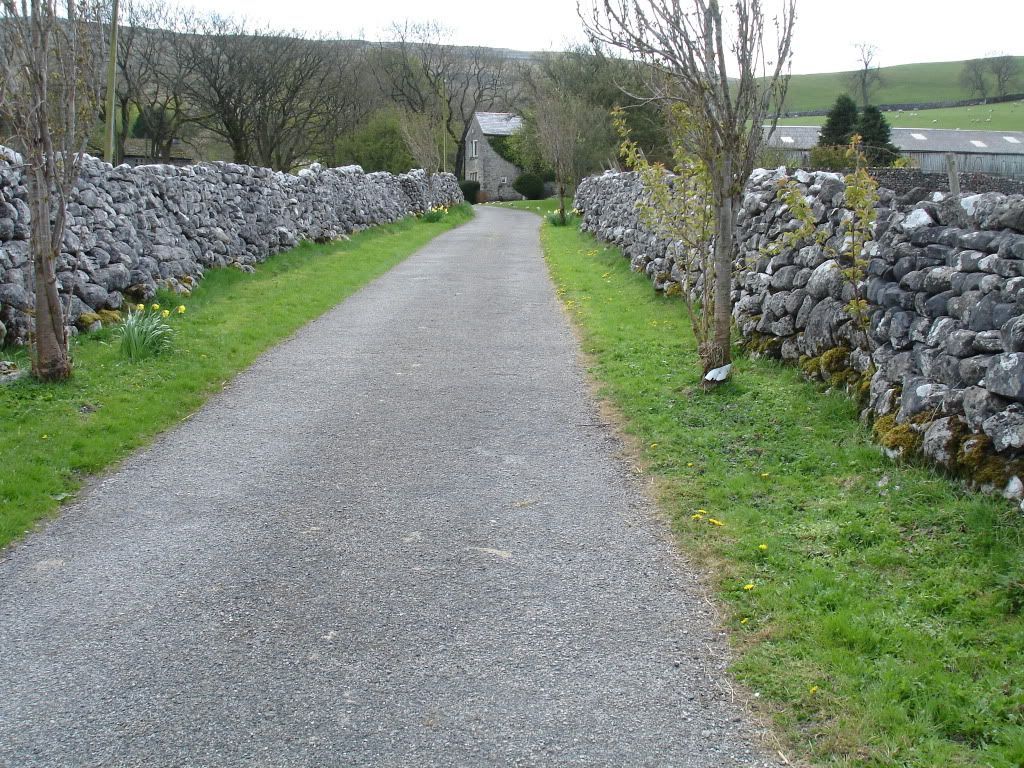
Then it was time to head south west and make my way back up onto the fells again. A pretty entrance to the bridleway ..
Then I climbed ...
and climbed ...
and climbed ...
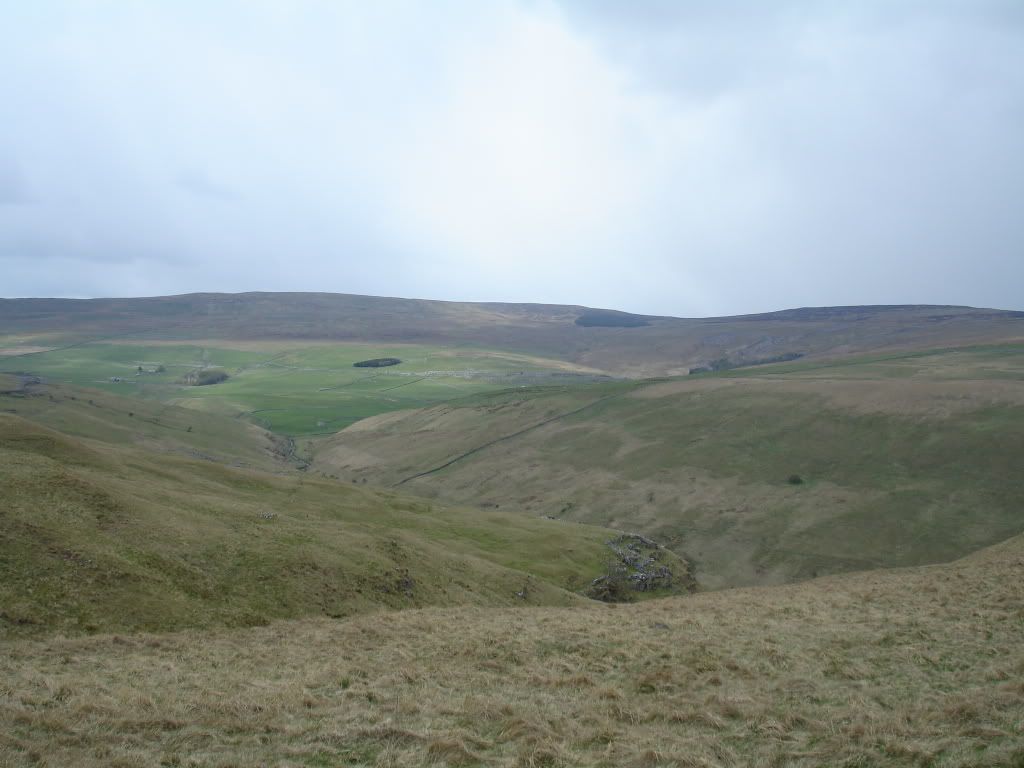
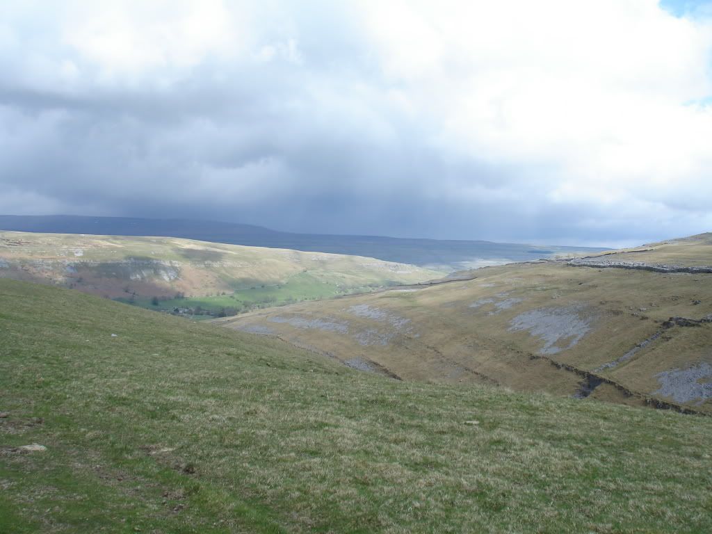
After following the path up onto High Cote things levelled out again and I had a nice steady remaining three or so miles to go.
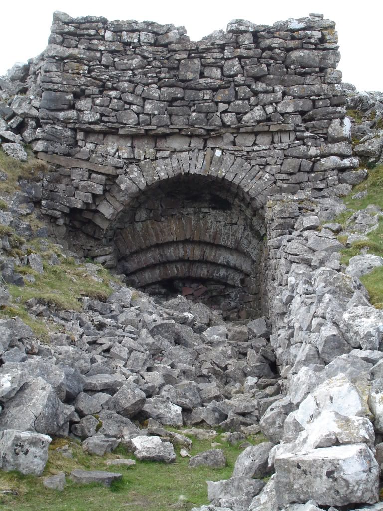
I passed this but I'm not sure what it's for ?
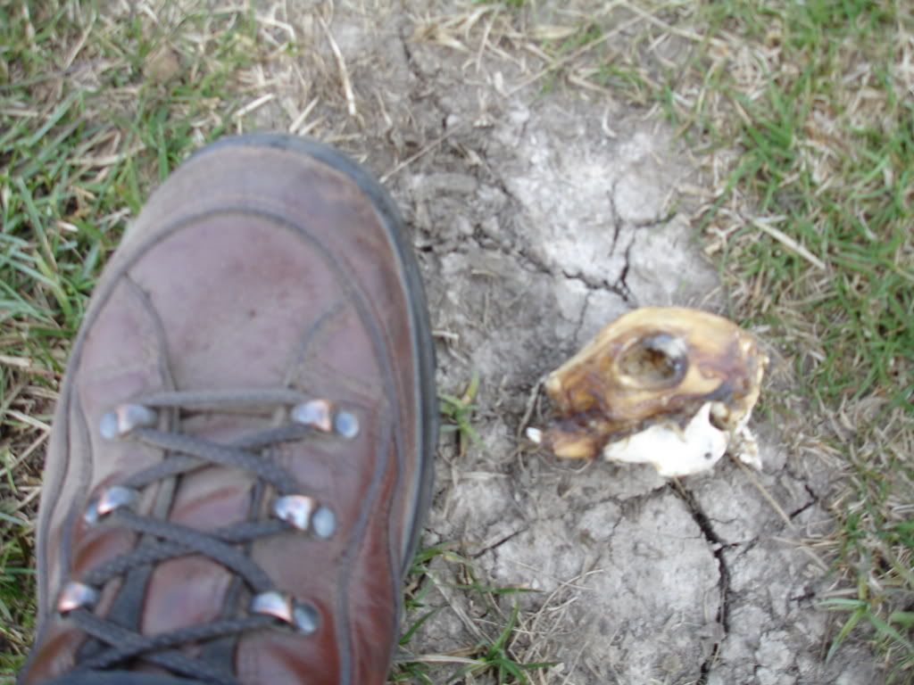
Not much left of this guy
A very enjoyable day, didn't speak to anyone all day (apart from the barmaid) and covered around fourteen miles in six hours.
The weather was a bit mixed at home with strong north easterlies blowing about so I wasn't too sure what to wear, in the end I layered up in wool and stuck my ventile in my pack. I was so glad I packed it as once I got up on the fell tops I was right in the teeth of the wind with not much shelter for my route.
The pics aren't great sorry, but it was a day out so thought I'd share. For some reason I struggle to get decent snaps of the hills. They're all a bit samey.
So about 10:00 I arrived at Street Gate, just a couple of miles north of Malham village. I picked up the nearby path north west which would lead me to Malham Tarn.
Just before reaching the field centre I broke away from the nice shale path and took off up into the hills proper.
Passing a small derelict farm stead I snaffled a few dry sticks to use in my stove later. Trees are few and far between up on the high moors.
After about four miles I stopped for a brew behind a limestone ledge.
And then it was time to have a play with my new toy ...
Bish bash bosh, one minute later and I have this ...
I took a piccy of the inside but there's a grass hump in the middle, it's huge in there though ..
So I continued on along the Monks Road ..
After a couple more miles I dropped down into the village of Arncliffe, a beautiful little village with a handful of houses, a green and a pub, perfect. I had a quick half and I was off again, seemed rude not to stop.
I then picked up the River Skirfare for a mile or so as it meandered its way along the valley bottom.
They must get some serious floods down here looking at the state of the banks, not today though
The exposed banks were home to loads of what I thought were Sand Martins, I could be wrong though.
Lots of these weird white fluffy things in the valley
Then it was time to head south west and make my way back up onto the fells again. A pretty entrance to the bridleway ..
Then I climbed ...
and climbed ...
and climbed ...
After following the path up onto High Cote things levelled out again and I had a nice steady remaining three or so miles to go.
I passed this but I'm not sure what it's for ?
Not much left of this guy
A very enjoyable day, didn't speak to anyone all day (apart from the barmaid) and covered around fourteen miles in six hours.
Last edited: