I had planned to whisk Mrs Shewie away for a weekend of canoe camping and relaxing in the Lakes, but emergency shed repairs meant I was up a ladder most of yesterday so in the end we didn't bother. I checked the forecast late last night and today was promising more fine weather so I talked her into doing a mid length route somewhere in the Dales instead.
There were a couple of places I wanted to visit after reading some of Danny's Teddy Tours last year, a big hole in the ground was one and foraging for some Moughton Whetstone was another. A quick scan of the maps and I worked out a half decent looking route.
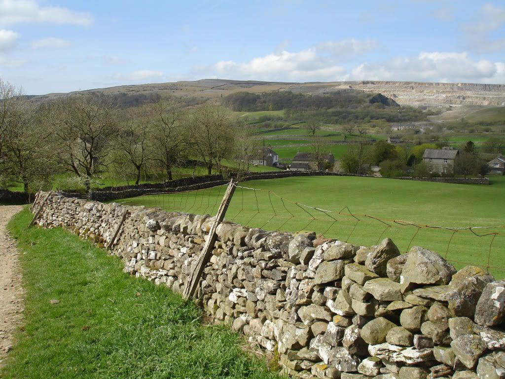
I parked up on the road just by the campsite in Horton and then we set off up Brants Gill Head
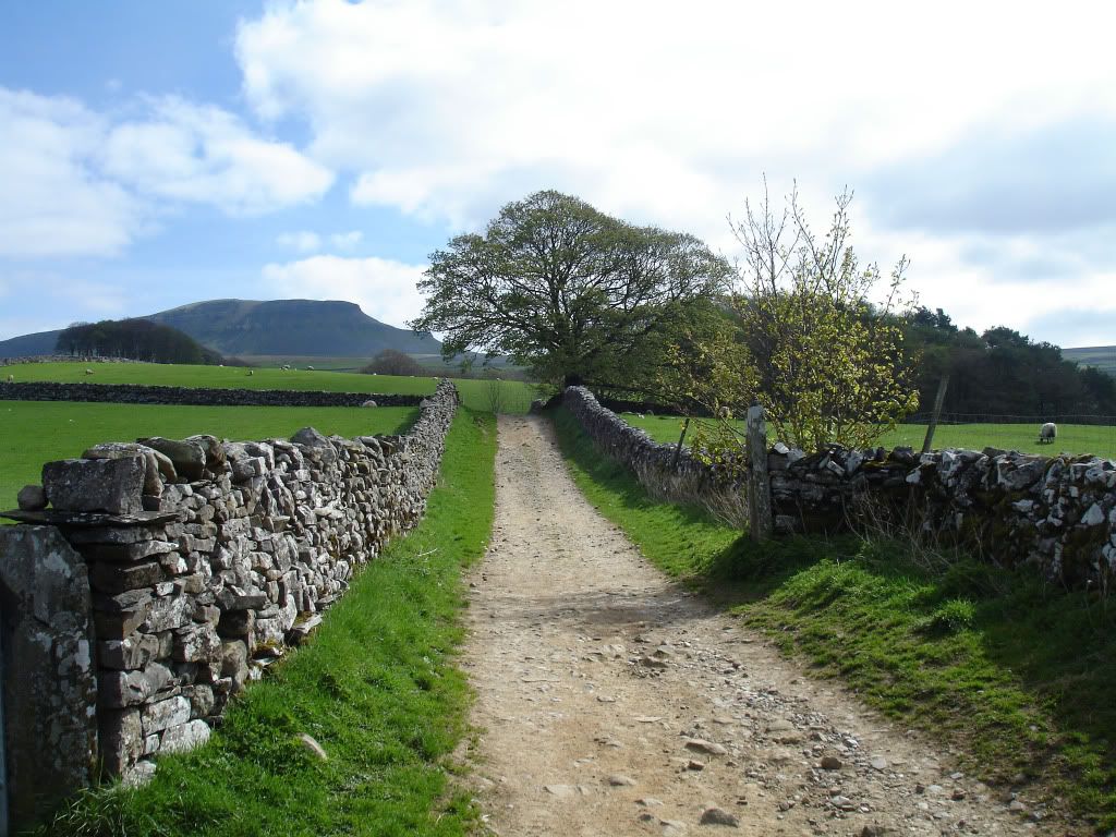
Up onto Horton Scar

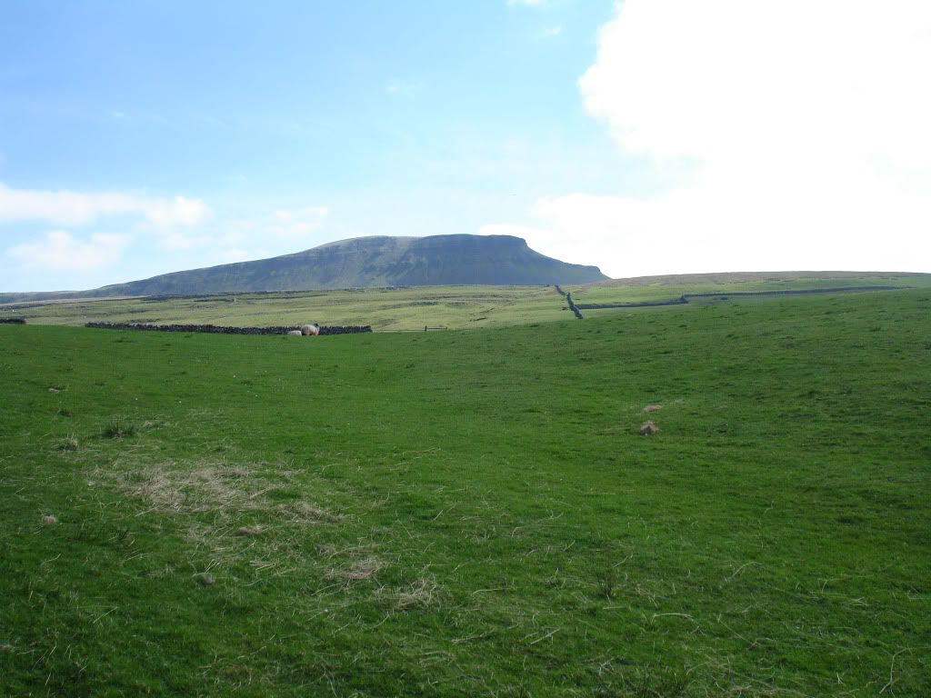
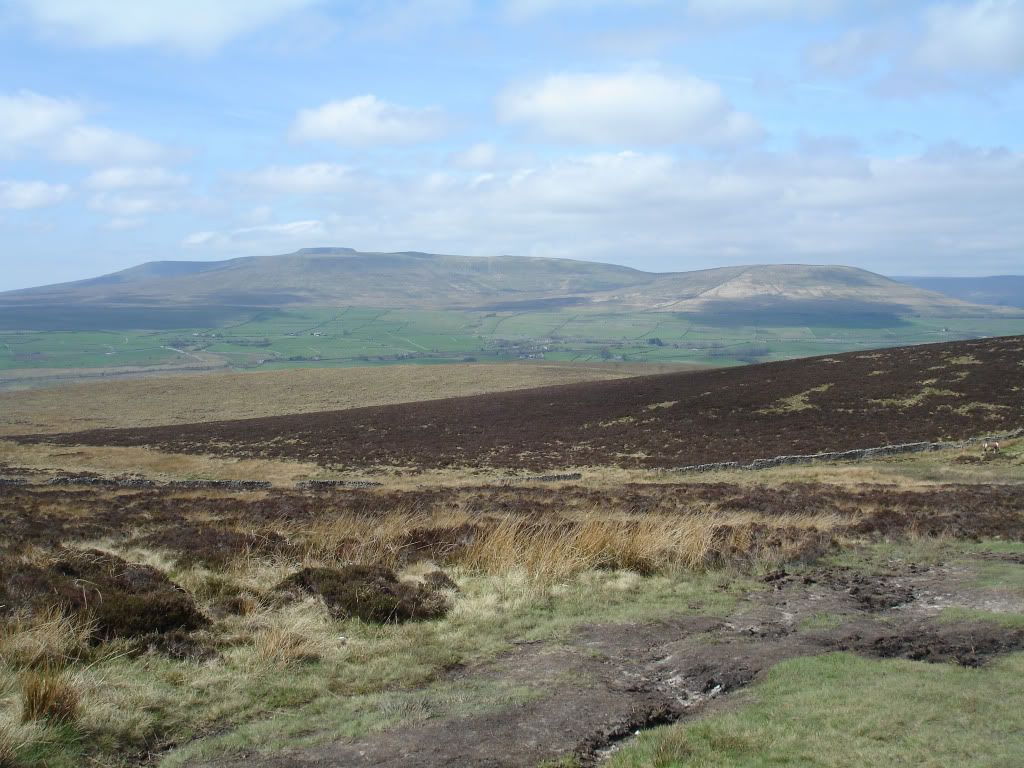
Pen-y-ghent to our right
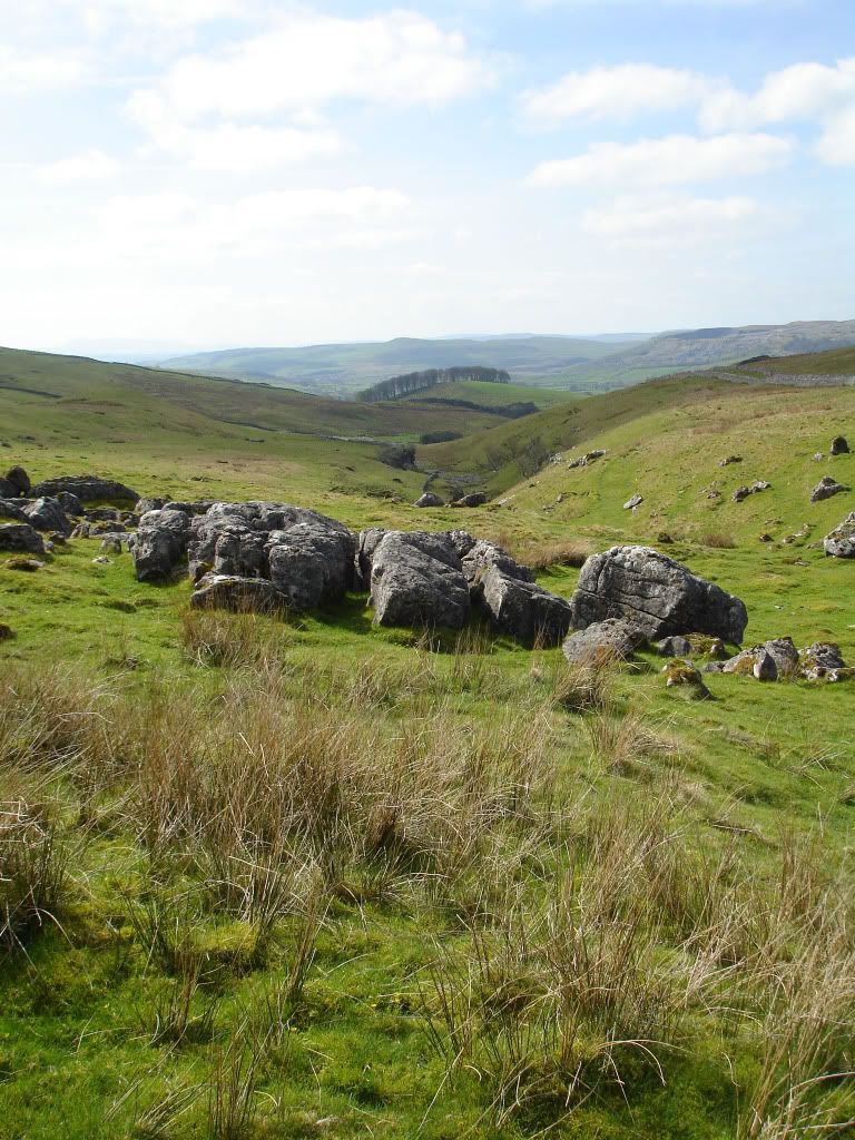
A series of limestone gullies on the way up
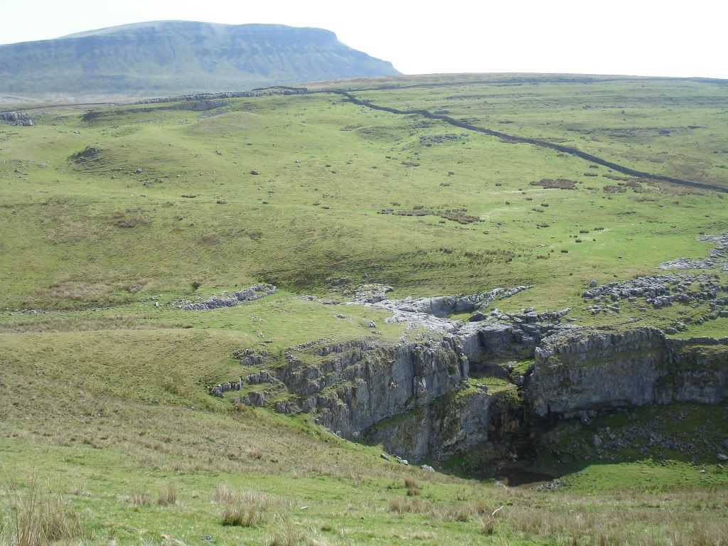
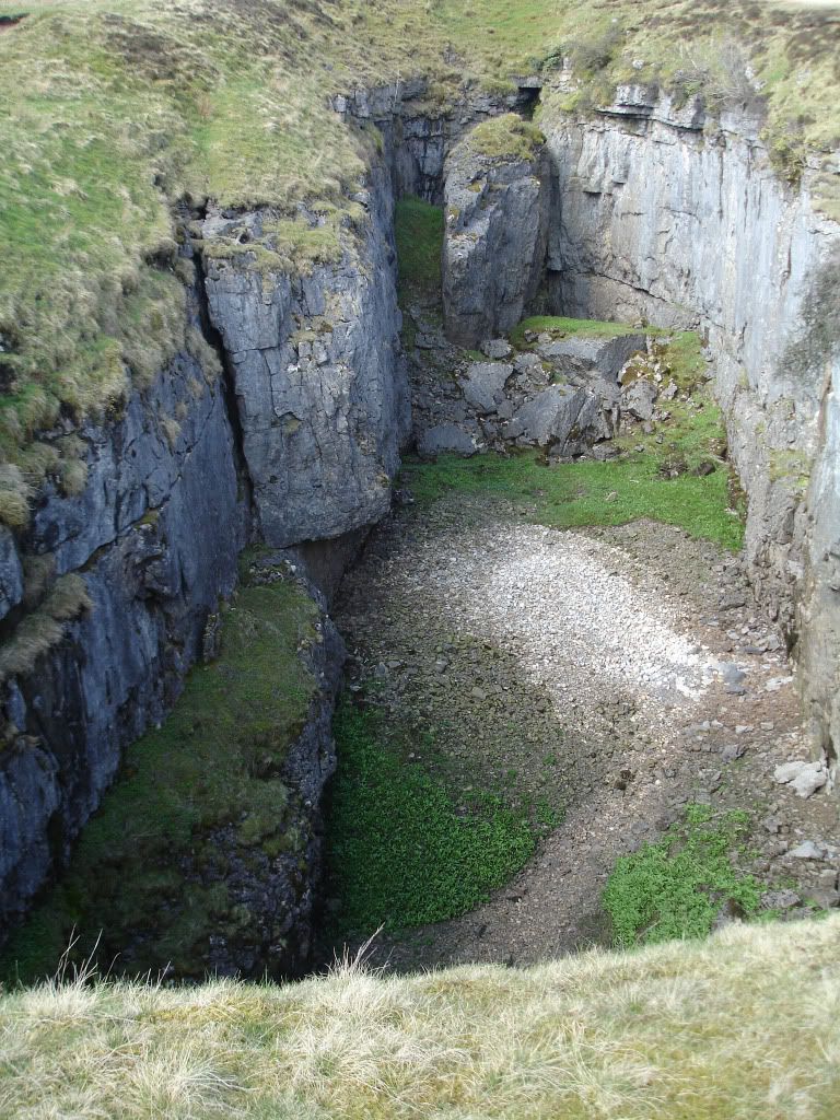
Hull Pot Hole, one of the, if not the largest natural hole anywhere in Britain. It's an old cave where the roof has collapsed, I think what makes this one special is that there is no access into the bottom unless you use climbing hardwear.
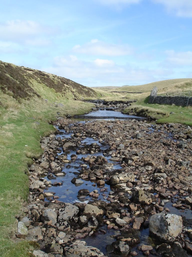
Hull Pot Beck, this crashes over the lip of the hole in winter but at the moment it's a tiny trickle which sinks before it gets there

At the beck we turned north east and heading across Green Hackeber Hill, an evil bog ridden stretch of moorland even in this weather, one to avoid in winter. After we crossed the worst of it we sat on a hill and took great enjoyment watching those following us pick their way through the stinking filth. Two fells runners were the best entertainment, they both just ran at it head on and went straight in up to their waists, oh how we laughed")
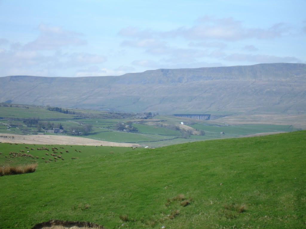
After the misery of Red Moss Bog we reached High Birkwith where the scenery changed from open heathland to lush green arable land
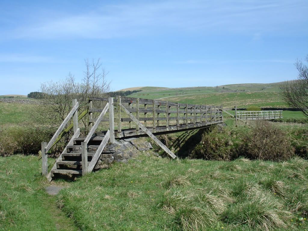
A lovely walk down through Low Birkwith towards Selside where I noticed something splashing in the tiny brook next to us. It turned out to be a little trout which had managed to get itself into a tiny pool and was now stranded in less than an inch of water. I picked it up and carried it down to the main stretch of the river and released it, good deed for the day.
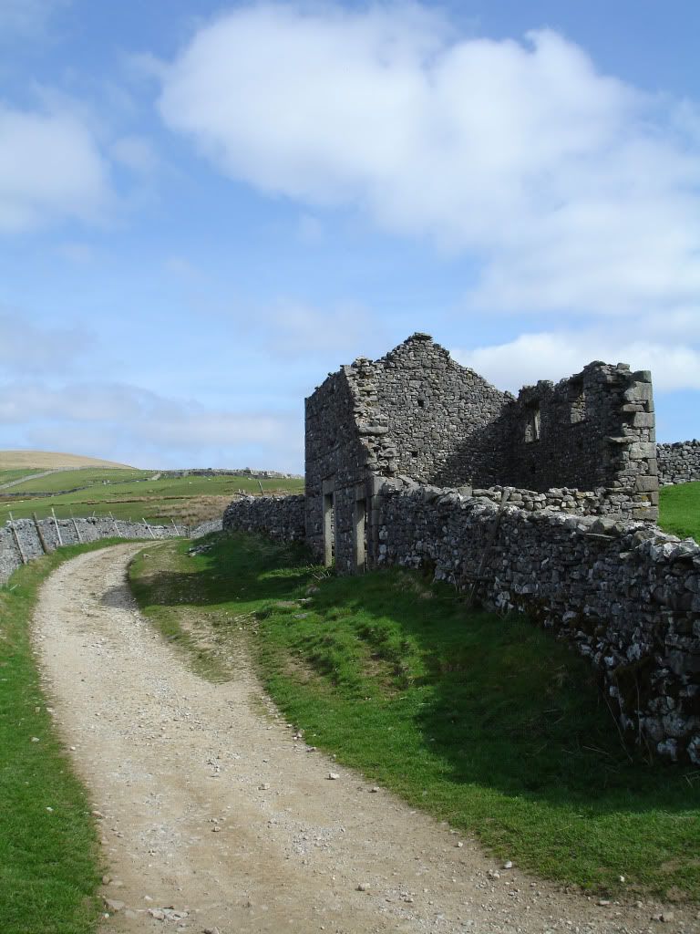
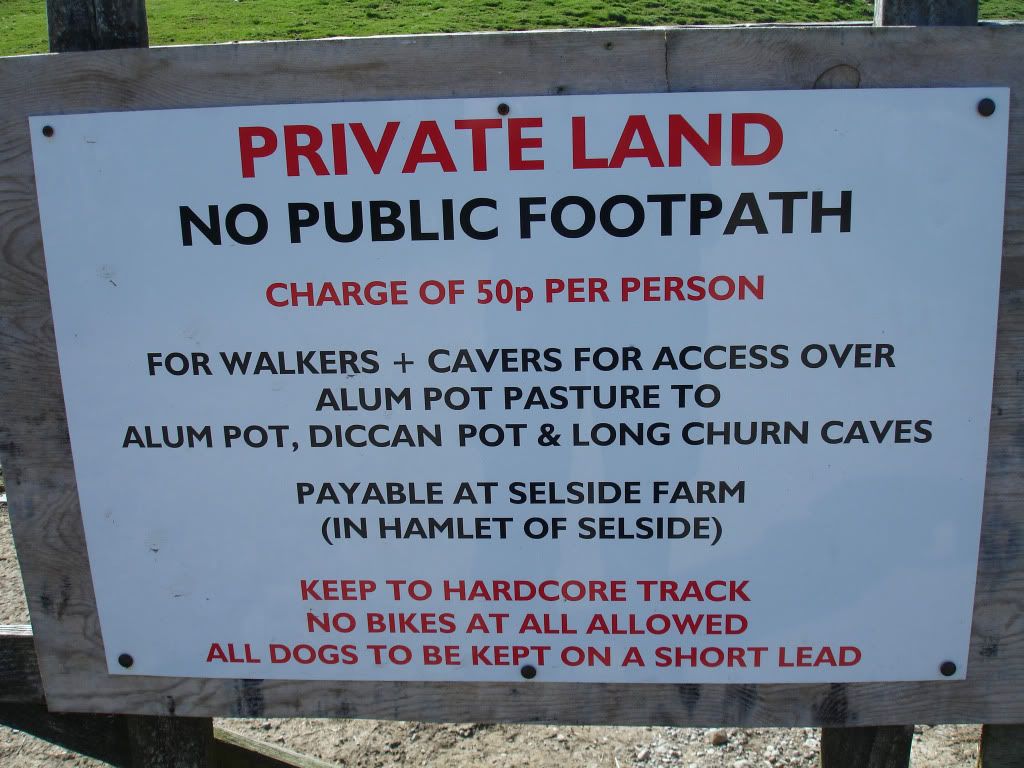
I was hoping to grab a pint and a sandwich in Selside but it was nothing more than a cluster of houses and a farm, we passed through and climbed up the gentle slopes in the direction of Allum Pot and Ingleborough. We came to this sign on my planned route which kind of threw me, is it even legal ?
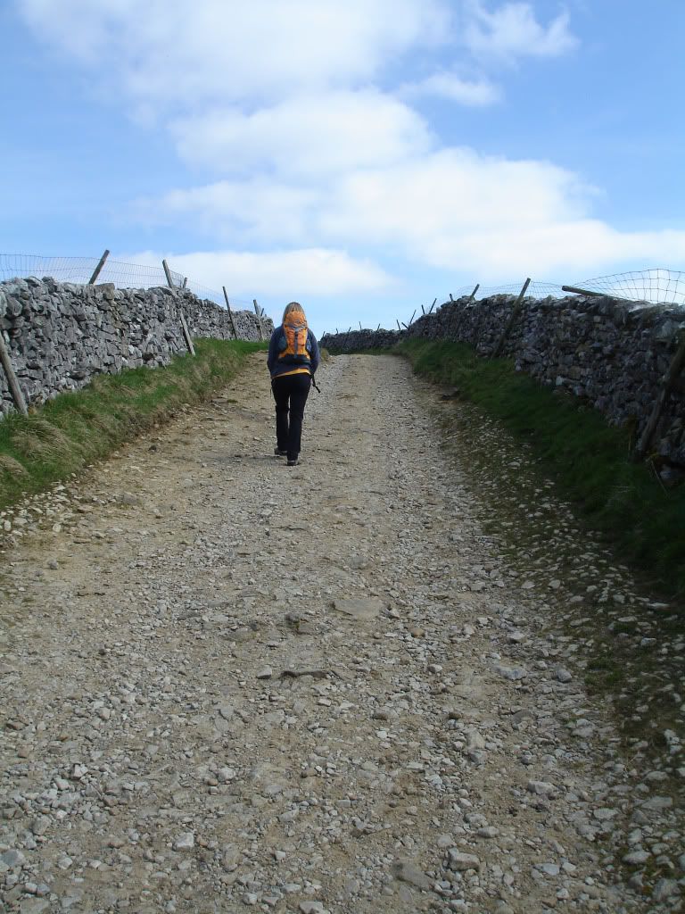
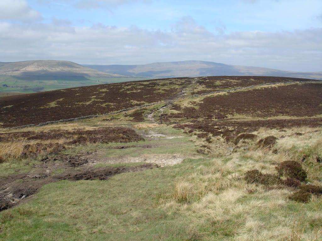
So I had to dig out the map and choose a lower route up Gill Garth and up to Sulber, we stopped for a brew at the top and finished off the homemade ginger flapjack. I wanted to push on to Moughton after here but Mrs Shewie's knee was playing up so we cut the trip short and headed back down Sulber Nick, a minging pint at the Crown and then a steady stroll back to the car.
A lovely day out despite forgetting the sun cream and feeling a little bit tender right now, I was amazed at the difference after not having a ciggie all week.
There were a couple of places I wanted to visit after reading some of Danny's Teddy Tours last year, a big hole in the ground was one and foraging for some Moughton Whetstone was another. A quick scan of the maps and I worked out a half decent looking route.
I parked up on the road just by the campsite in Horton and then we set off up Brants Gill Head
Up onto Horton Scar
Pen-y-ghent to our right
A series of limestone gullies on the way up
Hull Pot Hole, one of the, if not the largest natural hole anywhere in Britain. It's an old cave where the roof has collapsed, I think what makes this one special is that there is no access into the bottom unless you use climbing hardwear.
Hull Pot Beck, this crashes over the lip of the hole in winter but at the moment it's a tiny trickle which sinks before it gets there
At the beck we turned north east and heading across Green Hackeber Hill, an evil bog ridden stretch of moorland even in this weather, one to avoid in winter. After we crossed the worst of it we sat on a hill and took great enjoyment watching those following us pick their way through the stinking filth. Two fells runners were the best entertainment, they both just ran at it head on and went straight in up to their waists, oh how we laughed
After the misery of Red Moss Bog we reached High Birkwith where the scenery changed from open heathland to lush green arable land
A lovely walk down through Low Birkwith towards Selside where I noticed something splashing in the tiny brook next to us. It turned out to be a little trout which had managed to get itself into a tiny pool and was now stranded in less than an inch of water. I picked it up and carried it down to the main stretch of the river and released it, good deed for the day.
I was hoping to grab a pint and a sandwich in Selside but it was nothing more than a cluster of houses and a farm, we passed through and climbed up the gentle slopes in the direction of Allum Pot and Ingleborough. We came to this sign on my planned route which kind of threw me, is it even legal ?
So I had to dig out the map and choose a lower route up Gill Garth and up to Sulber, we stopped for a brew at the top and finished off the homemade ginger flapjack. I wanted to push on to Moughton after here but Mrs Shewie's knee was playing up so we cut the trip short and headed back down Sulber Nick, a minging pint at the Crown and then a steady stroll back to the car.
A lovely day out despite forgetting the sun cream and feeling a little bit tender right now, I was amazed at the difference after not having a ciggie all week.
")
 , wife in bed so cannot ask her till tomorrow.
