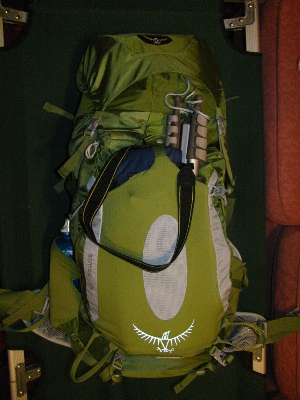
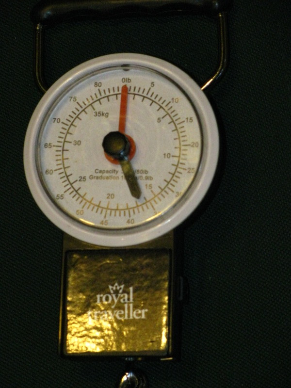
Day one started at 1500hrs (3PM in old money) when I walked a short distance to the bus stop. I don't know if it is a proper bus stop but the bus drivers seem happy to stop there when I flag them down. Anyway, I arrived at the bus stop early so I went into the nearby garage/store to get change for the bus by purchasing a litre of water and a Mars Bar. This increased the amount of water I was carrying to 4 litres and took the weight of my pack to 40+ lbs.
The bus arrived on time and I arrived in Bangor 35 minutes later in time for my next bus ride. I didn't have enough change for this ride and paid with a tenner. The driver gave me change in pound coins so I had to carry £9 of uneccessary ballast with me for the entire trip! As we were approaching my drop off point we were flagged down by the driver of a school bus that had pulled over into a layby. The bus had packed up and we collected about 40 schoolgirls in the 13-16 age range. I was sorely tempted to start shouting that I wasn't allowed within 100 metres of school age children but managed to resist the temptation. Just. Instead I just stood at the front of the bus chuckling like an idiot.
I debussed on the A55 at Abergwyngregyn and started a 2 mile long jaunt along tarmac to the start of the footpath. I was not looking forward to this part of the walk but it did prove to be quite interesting, it's amazing what i have missed whilst driving along the same road.
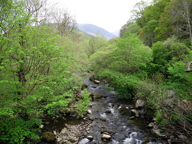
River flowing from Aber Falls
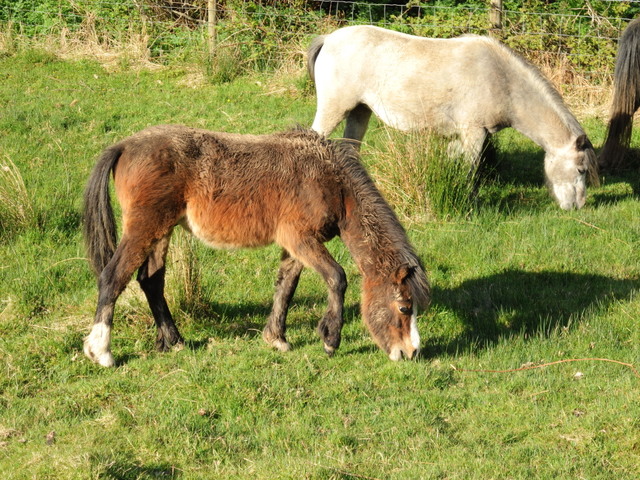
A couple of the wild Carneddau ponies, these animals date back to pre-celtic times and were once used in coal mines. They are Britain's last wild mountain ponies.
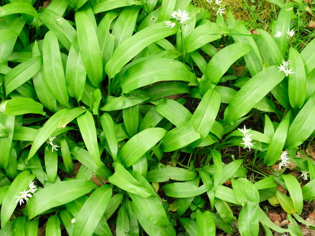
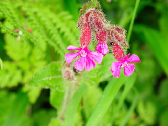
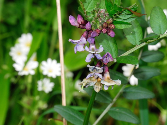
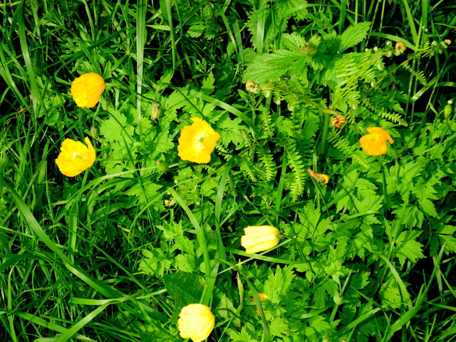
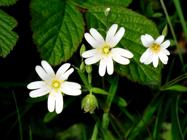
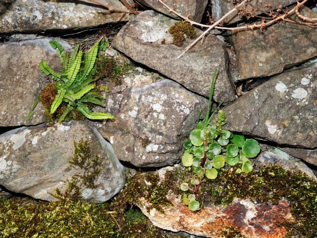
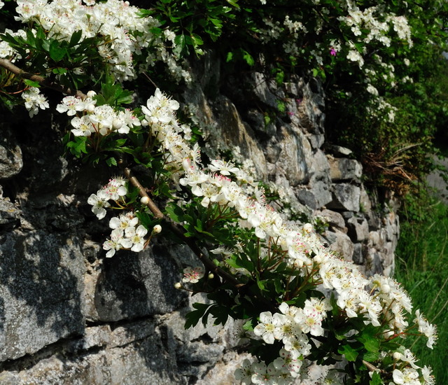
At the side of the single track lane are various wild flowers, can you name any?
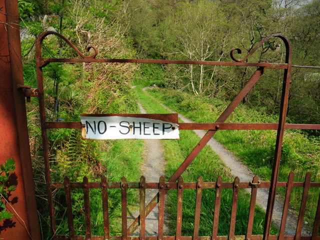
On the same road we have a property owned by someone who doesn't like sheep, I think they may have bought a house in the wrong place! The gate construction is typical of many in the area, they have outlasted many more recent gates.
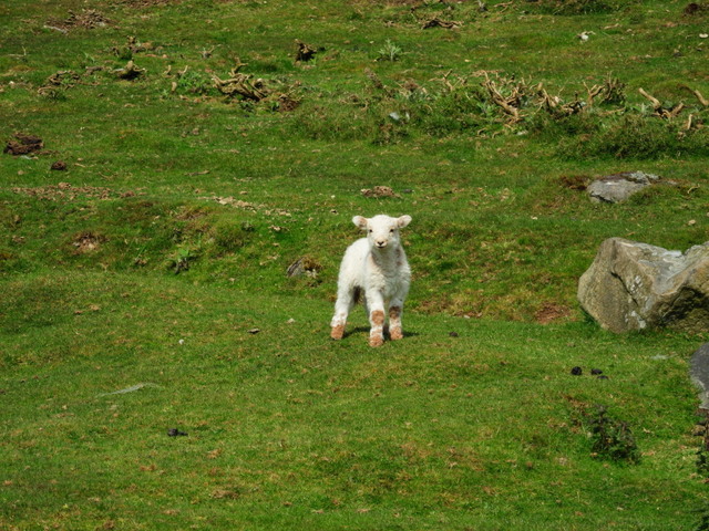
One of the unwelcome sheep
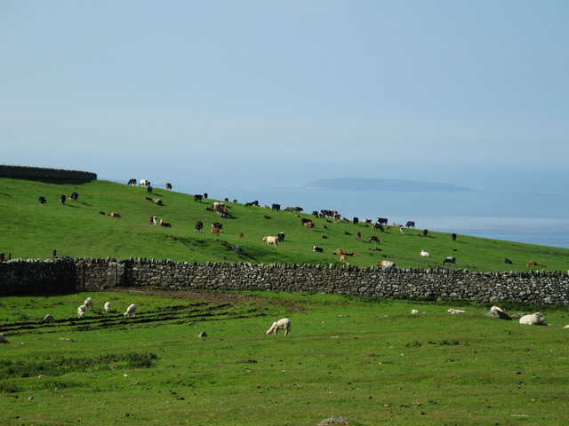
Lots of sheep and cows in a picture postcard location
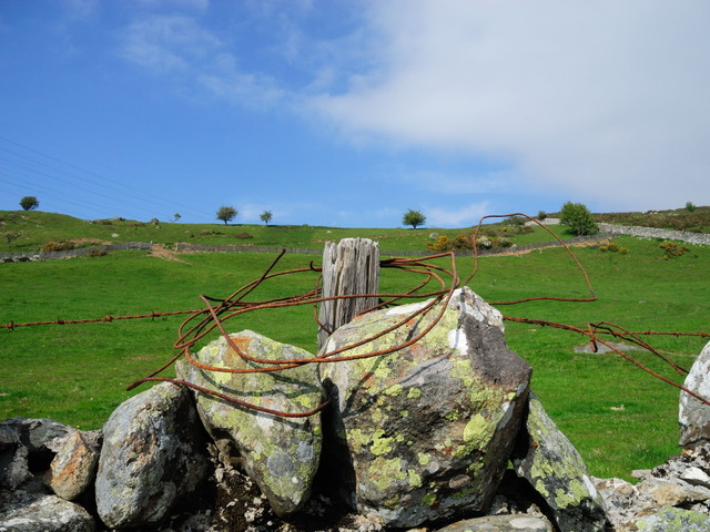
Again, typical for this location we have a stone wall which has outlasted a more 'modern' wire fence
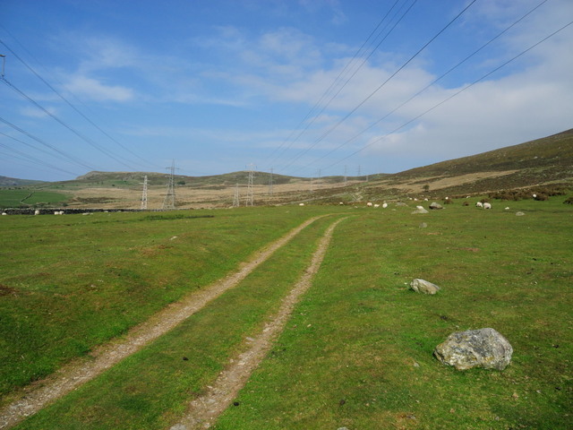
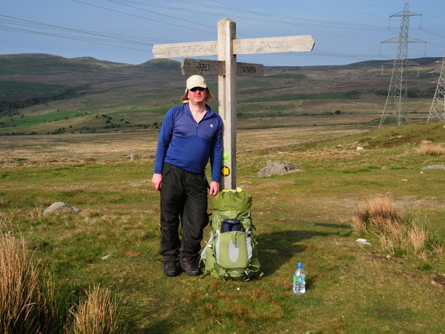
The start of the path into the hills, navigation was never going to be a problem with those overhead lines and land-Rover tracks
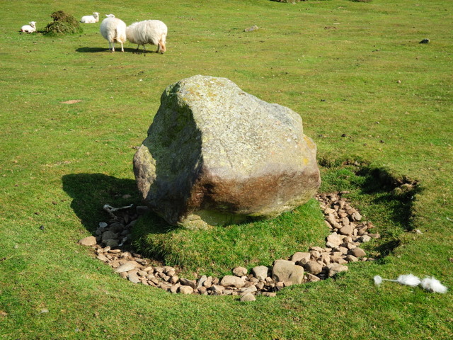
Central heating for sheep. The sheep have worn away the topsoil around many of the roadside rocks, they like to shelter against these rocks especially when they have absorbed the heat of the day's sun
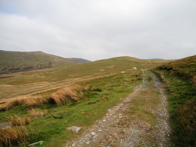
And incase the tracks and powerlines aren't enough of a navigational aid...
This track continued to a height of over 700 metres, easy to walk along but quite unsporting
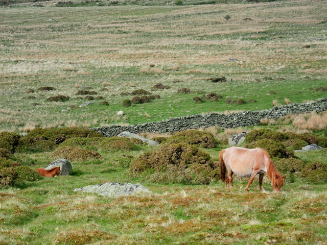
Many more wild ponies were seen from the path, here's a mare with her foal
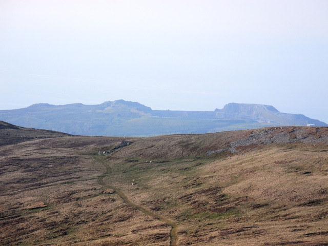
Remember that cargo ship that was blown ashore a few weeks back? This is the quarry (centre of frame in the far distance) that supplied the gravel it was carrying.
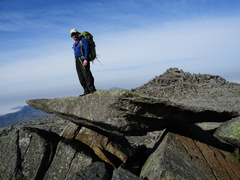
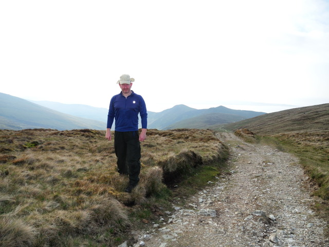
This is me at 18:37 approaching the top of the first hill which is called Drum. I thought that the camera was producing over saturated skin tones until I realised that I was becoming 'tanned'. Thankfully I was carrying some factor 50 tanning butter.
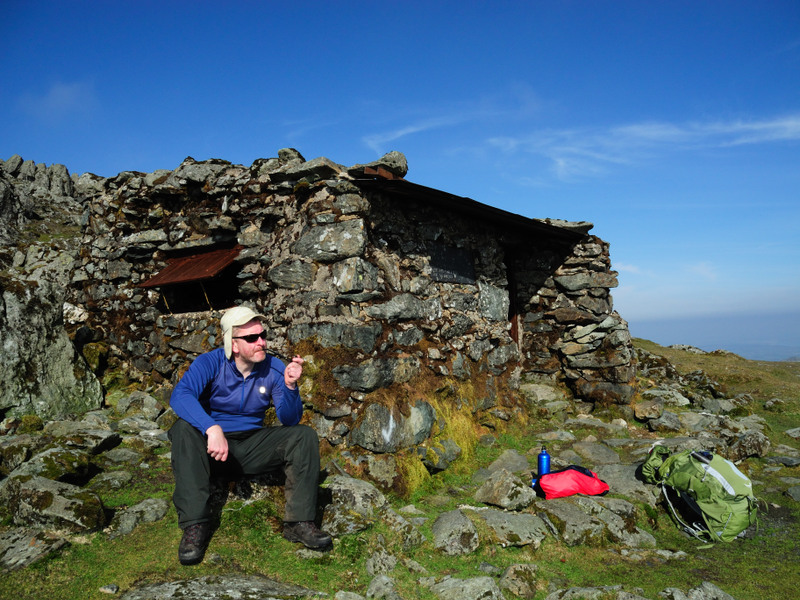
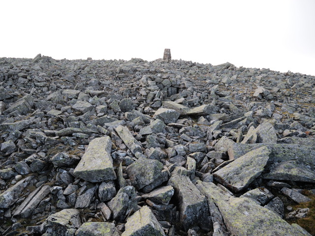
At 19:43 I approached the rock strewn summit of Foel Fras, can you spot the shelter?
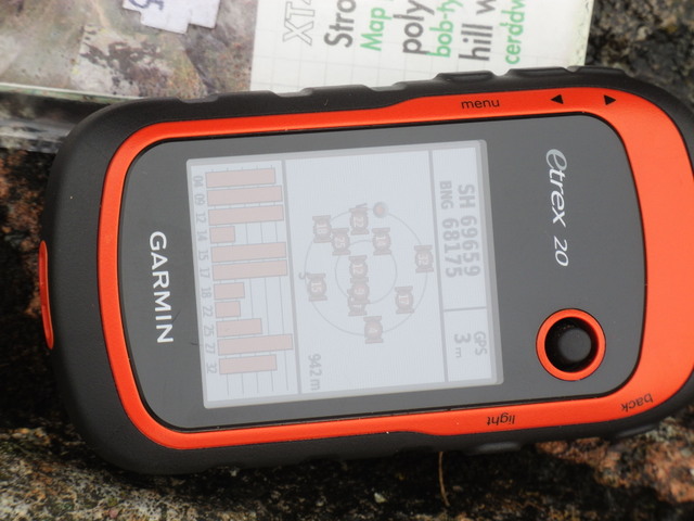
The GPS telling me what I already knew, my location and height. I use the GPS for datalogging rather than navigating.
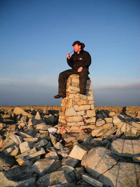
Having a medicinal moment on the trig pillar. Low sun = long tripod shadow
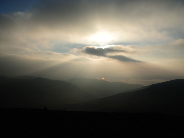
Whilst the summit was still quite bright the view north was somewhat darker
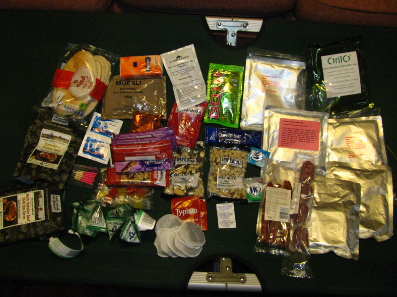
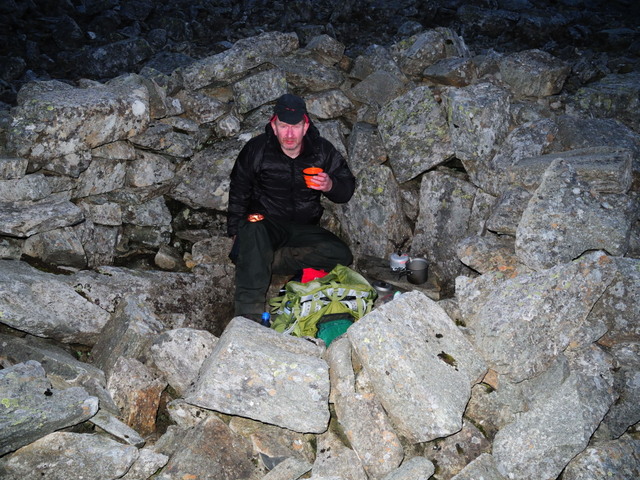
Tea was taken at 21:30 in one of the summit shelters, I had boil in the bag chilli and pita bread and a couple of energy bars washed down by a few cups of tea.
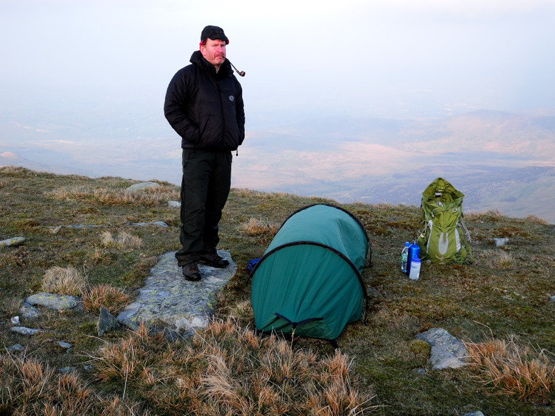
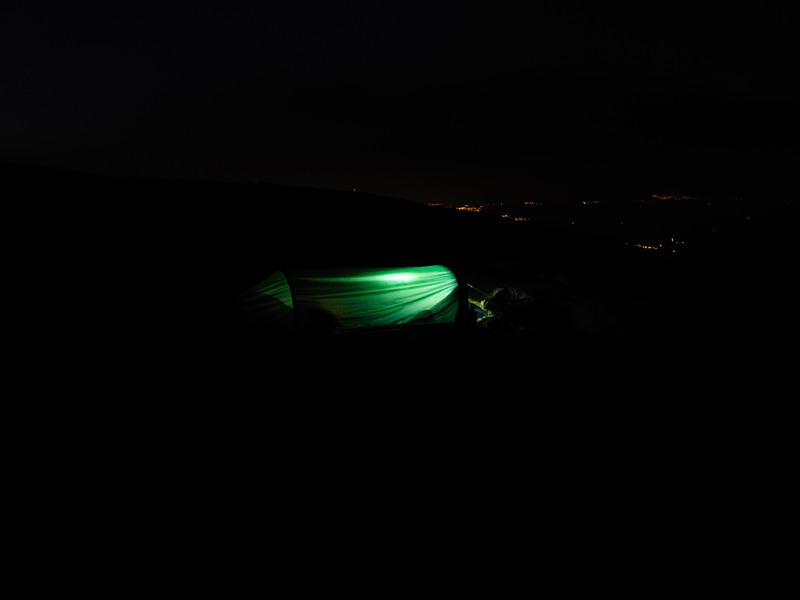
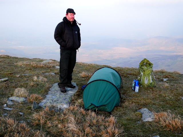
That bivi bag looks so much bigger in the brochure. Time for bed shortly after 10PM
