Welsh 3000s 2 night trip...
- Thread starter Imagedude
- Start date
-
Hey Guest, Early bird pricing on the Summer Moot (29th July - 10th August) available until April 6th, we'd love you to come. PLEASE CLICK HERE to early bird price and get more information.
You are using an out of date browser. It may not display this or other websites correctly.
You should upgrade or use an alternative browser.
You should upgrade or use an alternative browser.
Day 2
The sun came up before 0500 waking me up. 2 Hours later I crawled out of my bivi to a glorious morning.
This is the view to the south-west showing the route ahead.
Breakfast consisted of boil in the bag beans and sausage and a couple of brews. At 0730 I noticed a walker on the other side of the large dry stone wall that crosses the summit where I was camping. I think he was looking for somewhere to take a dump. After packing my gear I started off towards my first peak of the day, Carnedd Gwenllian. This peak was, until recently, known as Carnedd Uchaf (highest hill). It was renamed at the behest of the Princess Gwenllian Society amidst some controversy.
Navigation is not a problem, especially when the skies are clear. Errosion, on the other hand, is a problem.
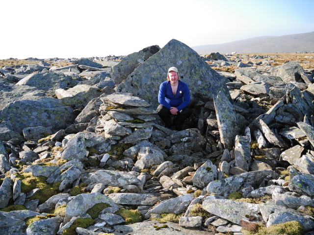
Within a kilometer of leaving my camp I went past a couple of shelters. Be careful in these shelters, they are often mistaken for toilets! I must resist the urge to rant on this subject but I do understand that people who are not mountain people get dragged up here on sponsered walks etc and they probably don't know any better.
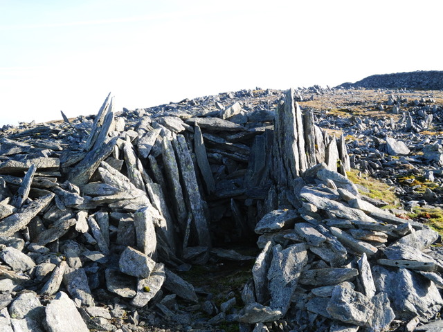
Fascinating rock shelter, possibly bronze/iron age but probably victorian or later.
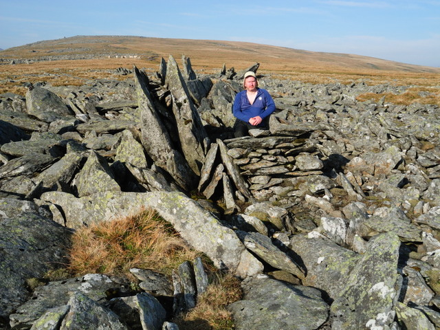
A few hundred yards later I'm at another shelter.
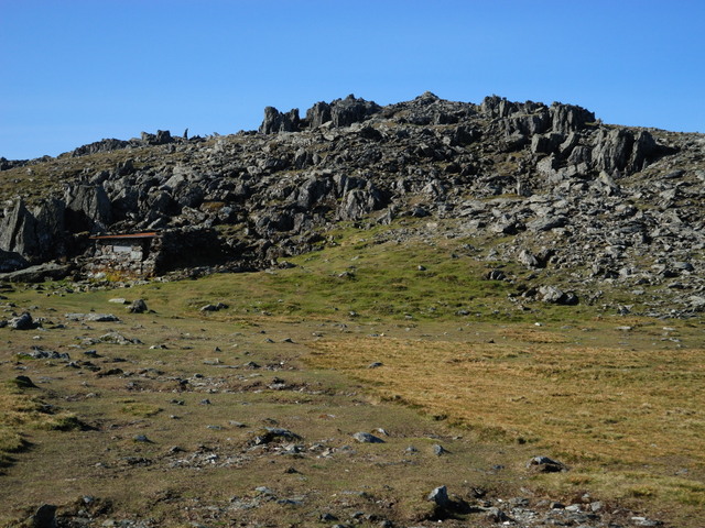
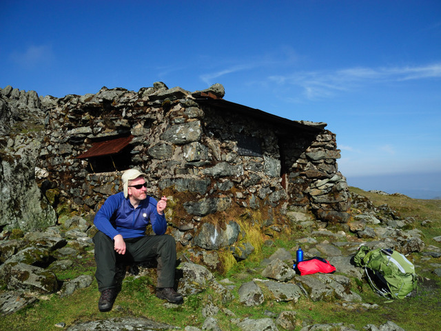
After passing Carnedd Uchaf we quickly arrive at Foel Grach (scabby hill). We can see the refuge hut in the bottom left of the photo. It was built here as it's probably one of the least accessable ares on the hills and also serves to save those who attempt the Welsh 3000s Challenge and run out of steam towards the end of the route.
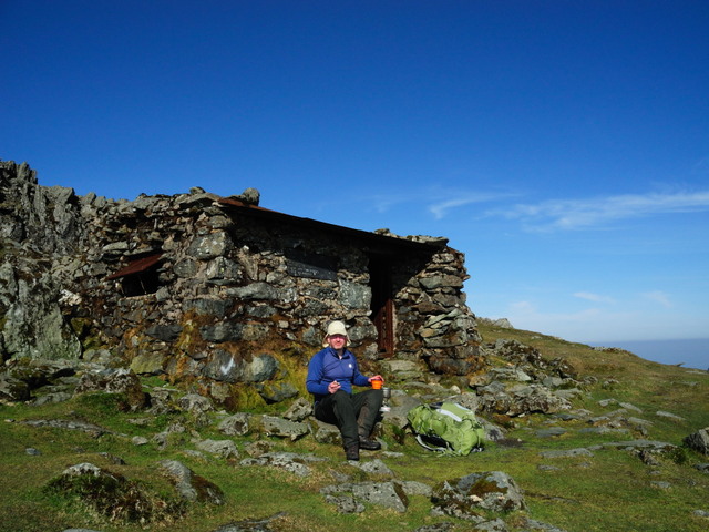
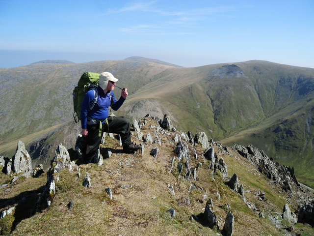
I've been up now for nearly an hour so It was time for another brew. The cup is one of those folding (collapsing) mugs.
And then a pull on the pipe.
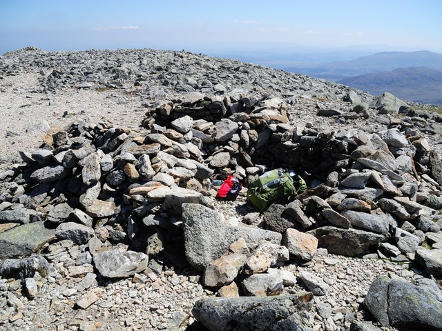
After a quick hour long break I set off again and it wasn't long until I found another shelter approaching the next summit, Carnedd LLewelyn, the 2nd highest peak in Wales and home of Wales' highest lake.
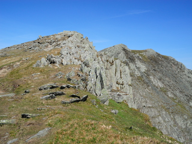
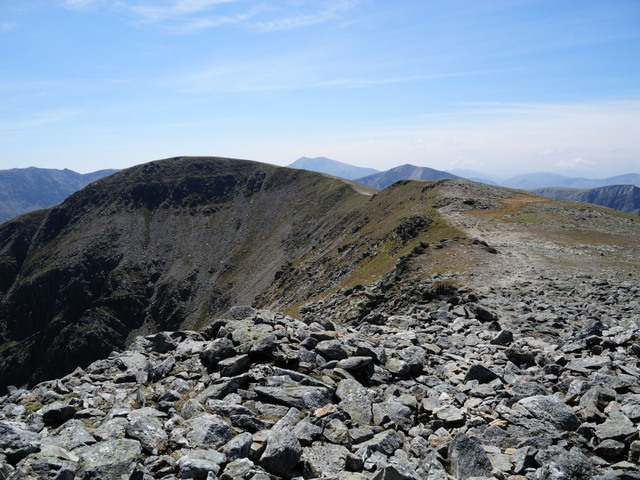
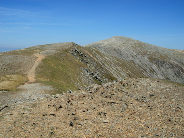
The walk up Carnedd Llewelyn.
From the summit a 1.5KM diversion north-west is taken to gain Yr Elen, another 3000 feet summit.
The summit of Yr Elen looking back along the route completed so far.
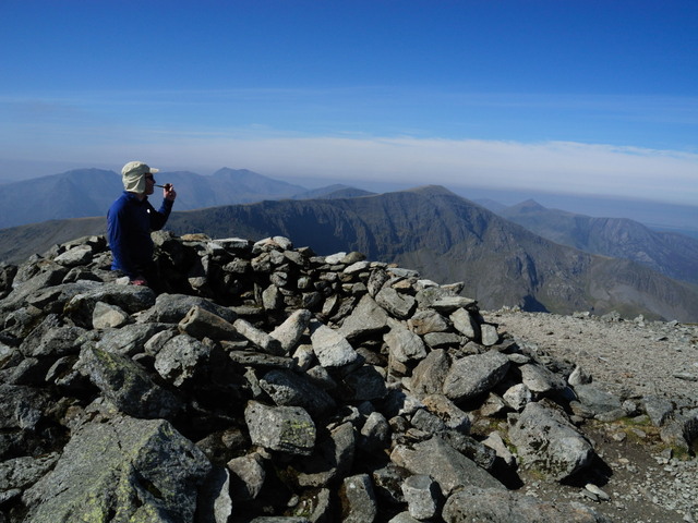
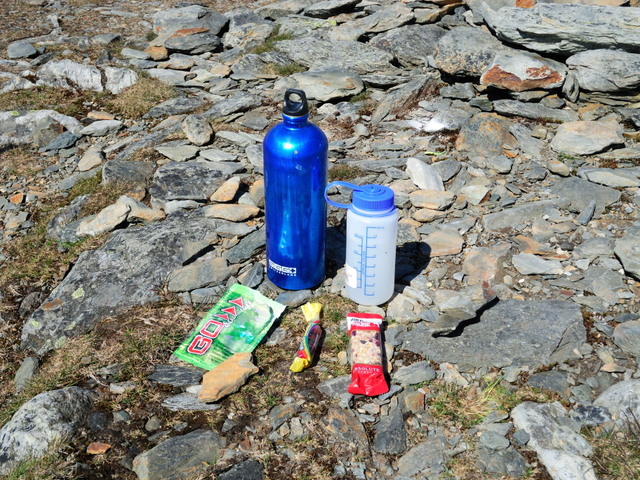
I had another rest on the summit (I had a long day to fill with a mere 18Km to walk). I prepared a drink with some British Army Marching Powder. Midges were a problem here! Wine gums and a fruit bar were also consumed.
I then doubled back to Carnedd Llewelyn then set off along the ridge in a south-westerly direction towards Carnedd Dafydd. Funnily enough, I passed another stone shelter. I think I'll write a book about them one day.
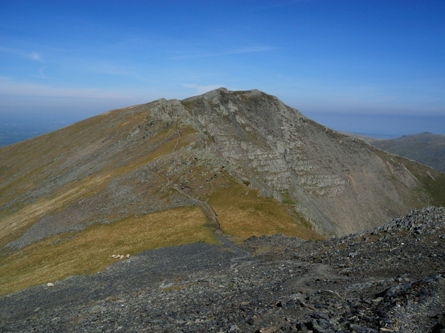
I didn't hang around as I was down to my last 250ml of water. I had started out with 4 litres! This is the view from Carnedd Dafydd to Pen-Yr-Ole-Wen, the last peak of the day.
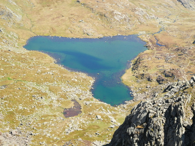
Due to the hot weather I was suffering with my saggy old man balls (SOMBs). I was suffering with some chaffing. Obviously you don't want to see a photo of that so here's a shot of the lake that supplys the stream that I would be using to re-supply my water bottles. The lake is called Ffynnon Lloer (source of the moon) and lies at an altitude of 678M.
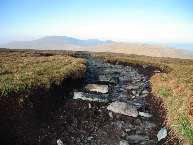
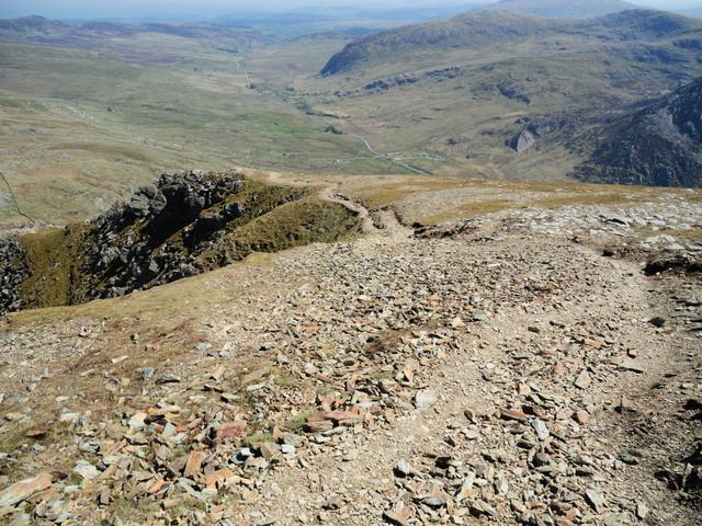
One last look back along the route before I started to descend. Taken from Pen-Yr-Ole-Wen. The eroded summit path can clearlybe seen.
The path down was just as eroded. A chap died here last winter, he'd just completed his first winter climb when he tripped on his crampons and fell to his death.
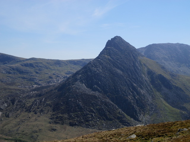
Looking south towards Tryfan, tonight's bivi site is just to the right of Tryfan on the ridge just below the summit in the background.
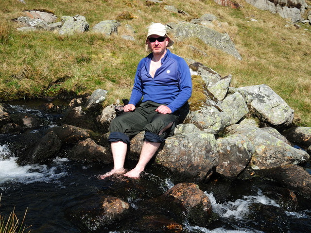
Finally I arrived at my next water source, I was only 3.30 so I had another tea break. I also managed to drop a boot into the stream.
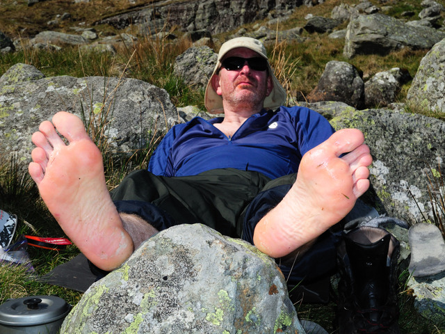
It was a good long rest which included 2 brews and a quantity of dried sausage.
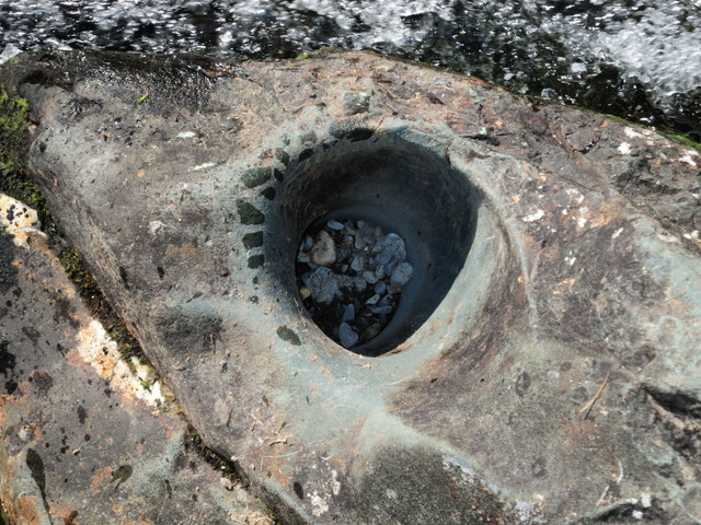
I couldn't waste too much time so after an hour or so I set off again. I passed this interesting water feature.
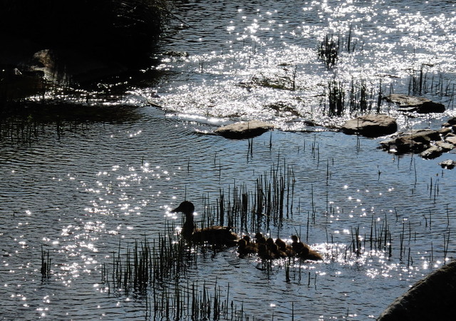
Along the stream I came across a herd of young ducks.
My time on the Carneddau was over, time to walk on the Glyderau.
The view of Tryfan from the road.
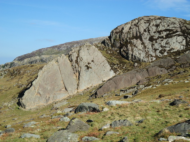
This is a rock feature known as 'Little Tryfan'. It is popular with novice rock climbers.
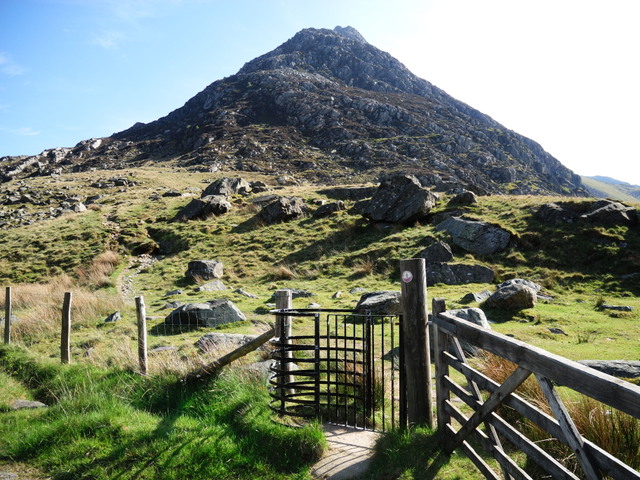
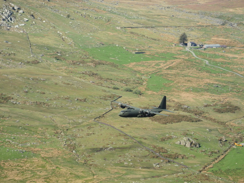
From here it was a short but steep slog up to the ridge. However it wasn't all hard work and no joy as I had a flypast from a Herc
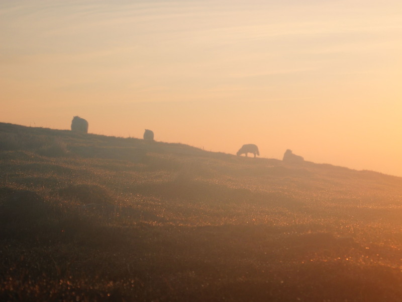
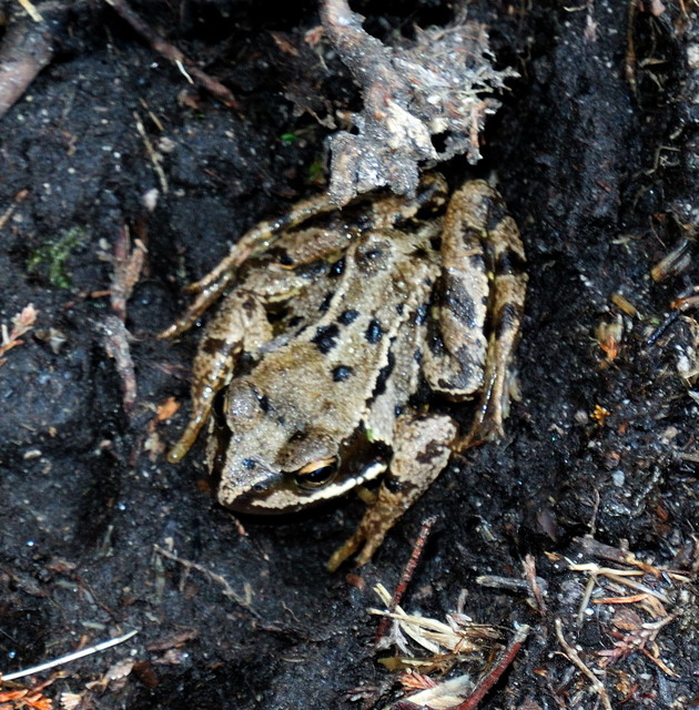
And got to see a variety of wildlife
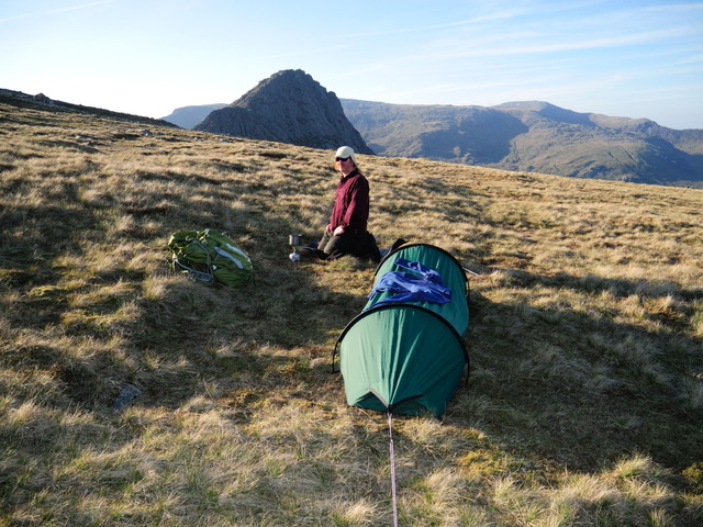
Camp was established by 1900hrs, that's Tryfan in the background. My sweaty top can be seen drying on the bivi, I'd changed into a dry, heavier fleece as I'd been 'glowing' quite a lot due to it being our annual week of Summer.
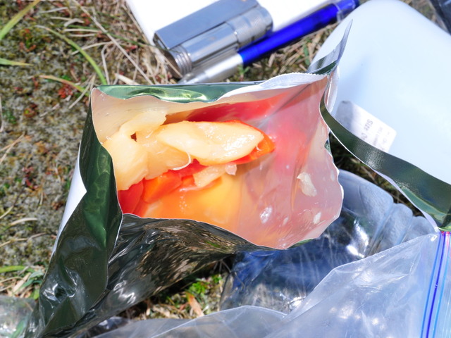
Evening meal consisted of boil in the bag meals from the new style army rat packs, one of the highlights being the fruit salad in syrup.
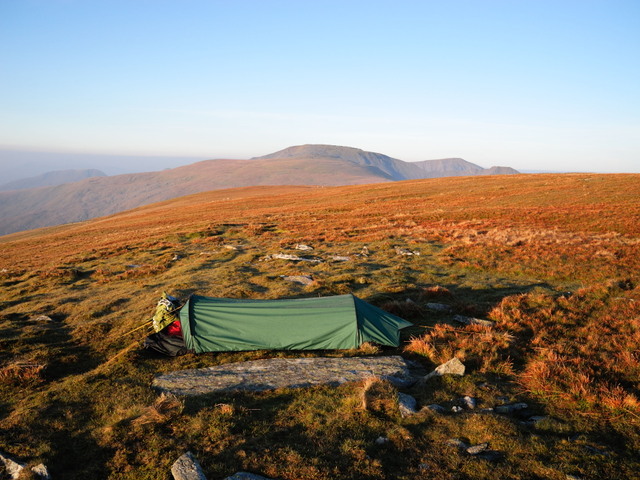
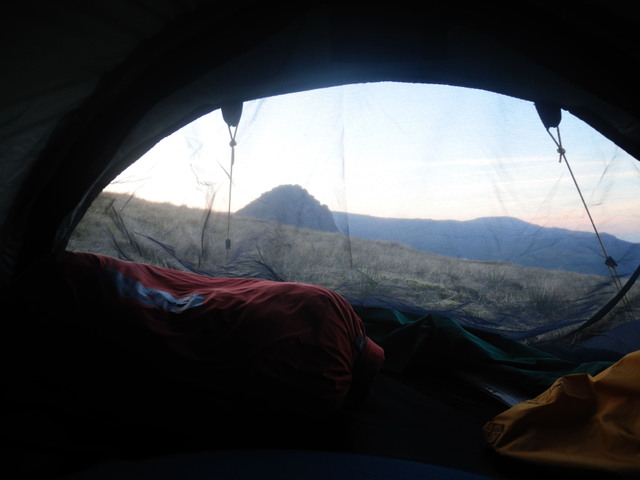
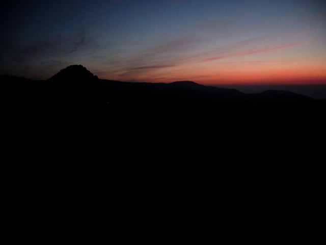
After a few more brews and a few hours watching the sun go down it was time for bed. Here's the view from the bivi.
The same view as it got darker
The sun came up before 0500 waking me up. 2 Hours later I crawled out of my bivi to a glorious morning.
This is the view to the south-west showing the route ahead.
Breakfast consisted of boil in the bag beans and sausage and a couple of brews. At 0730 I noticed a walker on the other side of the large dry stone wall that crosses the summit where I was camping. I think he was looking for somewhere to take a dump. After packing my gear I started off towards my first peak of the day, Carnedd Gwenllian. This peak was, until recently, known as Carnedd Uchaf (highest hill). It was renamed at the behest of the Princess Gwenllian Society amidst some controversy.
Navigation is not a problem, especially when the skies are clear. Errosion, on the other hand, is a problem.
Within a kilometer of leaving my camp I went past a couple of shelters. Be careful in these shelters, they are often mistaken for toilets! I must resist the urge to rant on this subject but I do understand that people who are not mountain people get dragged up here on sponsered walks etc and they probably don't know any better.
Fascinating rock shelter, possibly bronze/iron age but probably victorian or later.
A few hundred yards later I'm at another shelter.
After passing Carnedd Uchaf we quickly arrive at Foel Grach (scabby hill). We can see the refuge hut in the bottom left of the photo. It was built here as it's probably one of the least accessable ares on the hills and also serves to save those who attempt the Welsh 3000s Challenge and run out of steam towards the end of the route.
I've been up now for nearly an hour so It was time for another brew. The cup is one of those folding (collapsing) mugs.
And then a pull on the pipe.
After a quick hour long break I set off again and it wasn't long until I found another shelter approaching the next summit, Carnedd LLewelyn, the 2nd highest peak in Wales and home of Wales' highest lake.
The walk up Carnedd Llewelyn.
From the summit a 1.5KM diversion north-west is taken to gain Yr Elen, another 3000 feet summit.
The summit of Yr Elen looking back along the route completed so far.
I had another rest on the summit (I had a long day to fill with a mere 18Km to walk). I prepared a drink with some British Army Marching Powder. Midges were a problem here! Wine gums and a fruit bar were also consumed.
I then doubled back to Carnedd Llewelyn then set off along the ridge in a south-westerly direction towards Carnedd Dafydd. Funnily enough, I passed another stone shelter. I think I'll write a book about them one day.
I didn't hang around as I was down to my last 250ml of water. I had started out with 4 litres! This is the view from Carnedd Dafydd to Pen-Yr-Ole-Wen, the last peak of the day.
Due to the hot weather I was suffering with my saggy old man balls (SOMBs). I was suffering with some chaffing. Obviously you don't want to see a photo of that so here's a shot of the lake that supplys the stream that I would be using to re-supply my water bottles. The lake is called Ffynnon Lloer (source of the moon) and lies at an altitude of 678M.
One last look back along the route before I started to descend. Taken from Pen-Yr-Ole-Wen. The eroded summit path can clearlybe seen.
The path down was just as eroded. A chap died here last winter, he'd just completed his first winter climb when he tripped on his crampons and fell to his death.
Looking south towards Tryfan, tonight's bivi site is just to the right of Tryfan on the ridge just below the summit in the background.
Finally I arrived at my next water source, I was only 3.30 so I had another tea break. I also managed to drop a boot into the stream.
It was a good long rest which included 2 brews and a quantity of dried sausage.
I couldn't waste too much time so after an hour or so I set off again. I passed this interesting water feature.
Along the stream I came across a herd of young ducks.
My time on the Carneddau was over, time to walk on the Glyderau.
The view of Tryfan from the road.
This is a rock feature known as 'Little Tryfan'. It is popular with novice rock climbers.
From here it was a short but steep slog up to the ridge. However it wasn't all hard work and no joy as I had a flypast from a Herc
And got to see a variety of wildlife
Camp was established by 1900hrs, that's Tryfan in the background. My sweaty top can be seen drying on the bivi, I'd changed into a dry, heavier fleece as I'd been 'glowing' quite a lot due to it being our annual week of Summer.
Evening meal consisted of boil in the bag meals from the new style army rat packs, one of the highlights being the fruit salad in syrup.
After a few more brews and a few hours watching the sun go down it was time for bed. Here's the view from the bivi.
The same view as it got darker
Some great shots there! Thanks for sharing!
Are you doing all 8 3000ers?
8 routes? I've only heard of the Welsh one... Tell me more!
")
Looks like just along the lines of what me and 'the lads' wanted to do this summer.
I couldn't get the maps to work though... will try later on the PC.
I couldn't get the maps to work though... will try later on the PC.