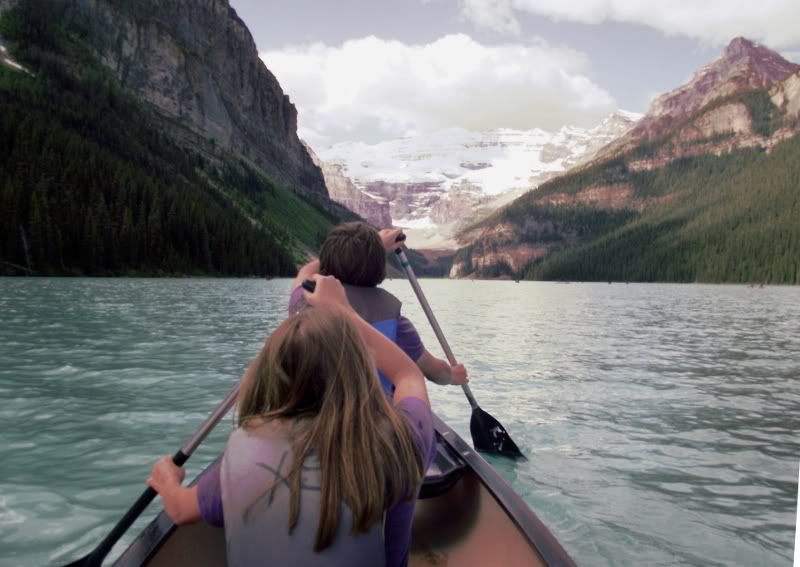
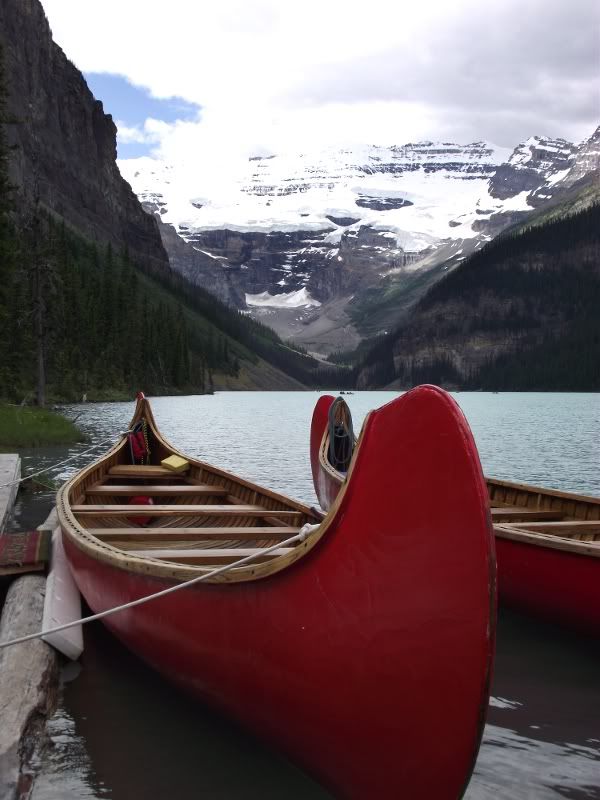
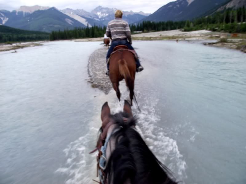
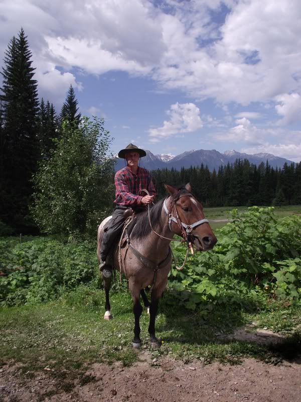
So, having come to canada (Golden BC) for a quiet couple of weeks holiday (ha bleedin ha) spent my time with family and friends between, white-water rafting (the Kicking Horse is high at the moment) mountain biking, canoeing, horse riding and the odd quiet hike through some of the most impressive landscape you could ever wish to see...
This is an account of one of those "quiet hikes"...
Now, my very good friend, Mr Wells, came out with his family a few days after us to join in the holiday fun, and being as we are always on the look out for a new challenge, "we" decided to attempt the Mummery glacier, which sits at around 2000m above the Blaeberry valley to the NW, and is a southern tip of the Colombia Icefield.
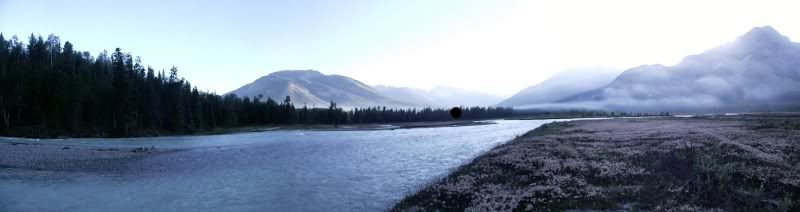
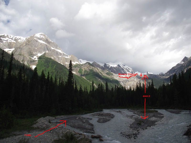
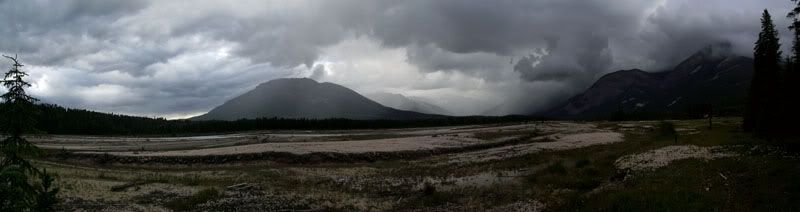
The logging road that runs parallel to the Blaeberry river had been washed out in the spring floods, and so having driven as far as we could, that left us short of the access road to the trail by a good 2kms. So at around 0900 we started walking toward the distant spot marked on the image below...
Nice and easy the first couple of clicks, follow the road and admire the scenery...
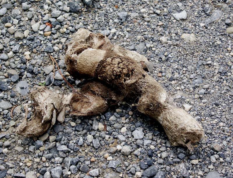
Cougar Scat...no need to panic, quite an old deposit...
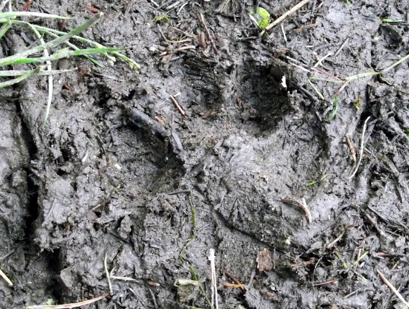
Cougar footprint (hmm...quite fresh that...)
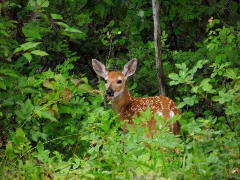
That's better, an nice cute White Tail fawn
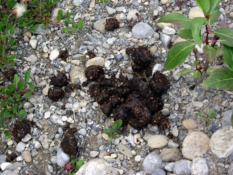
Hmm...Not all bears s**t in the woods, it would seem...
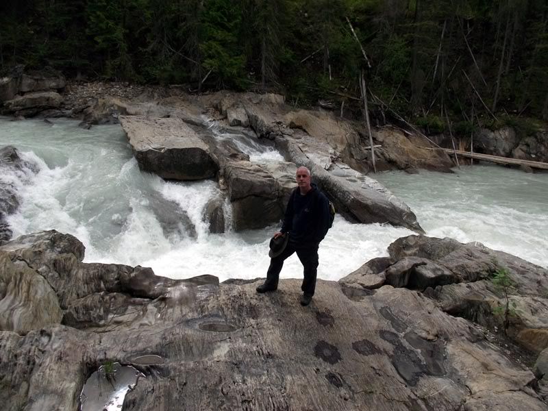
A hiatus while I admire the Thompson Falls...
Having walked to the logging track took a left and followed the track up about another click until we reached the start of the track through the wooded vale...
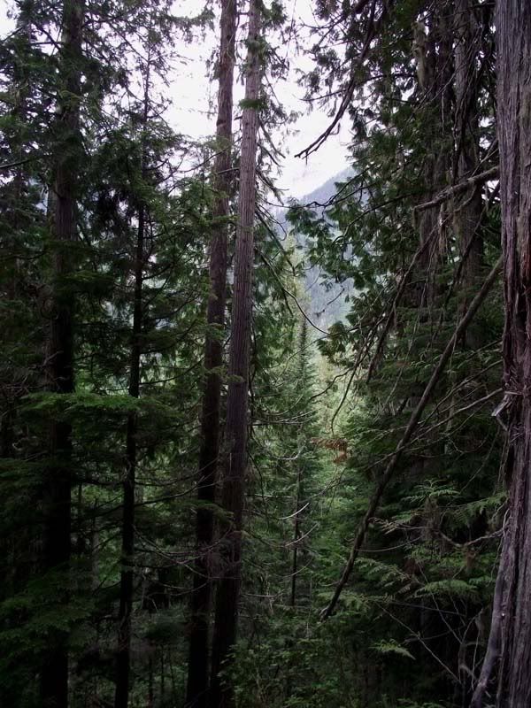
Wonderfully claustrophobic along this stretch of trail, and eerily calm...Continued until we reached the stream...should be a bridge around here somewhere???
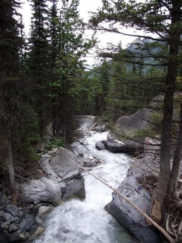
Having decided that a bridge was too easy anyway, forded the stream in good old fashioned settler style and made it to the edge of the glacial fore field.
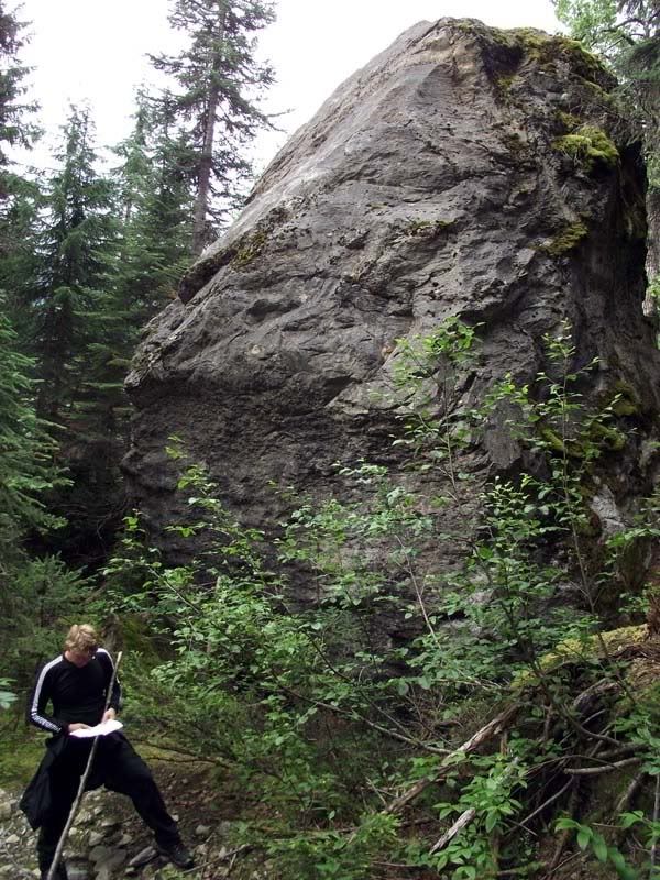
Mr Wells under a "glacial erratic"...Big boulder to you and me...)
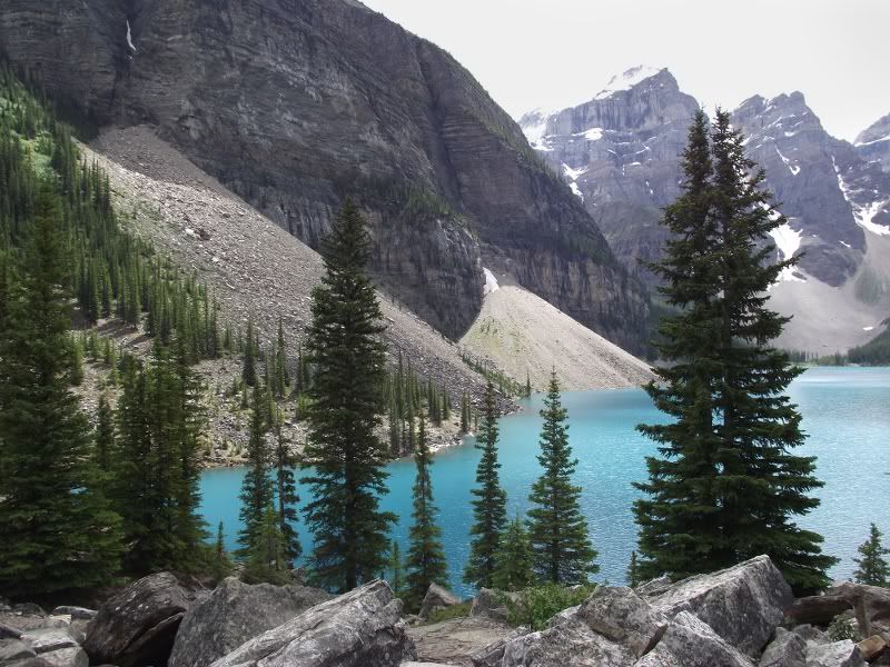
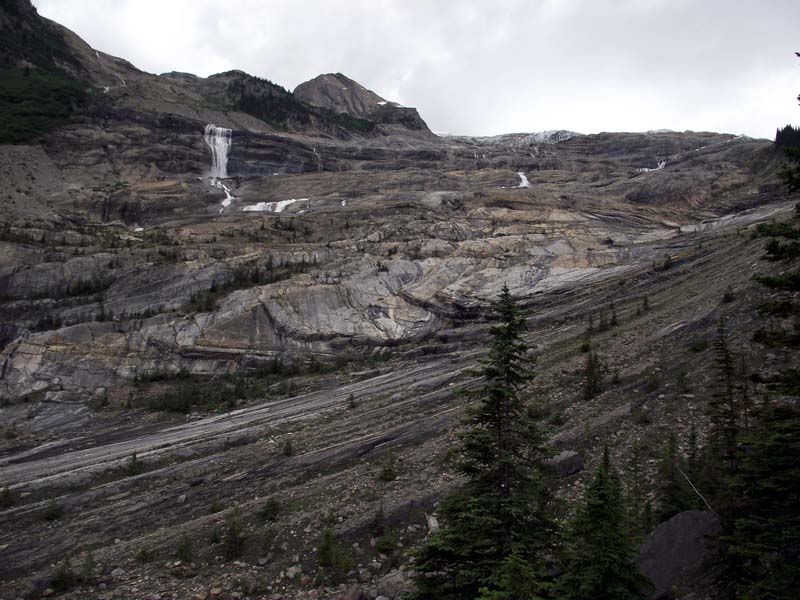
The glacial fore field...note the scouring of the rock bed... the forces involved are hard to imagine..
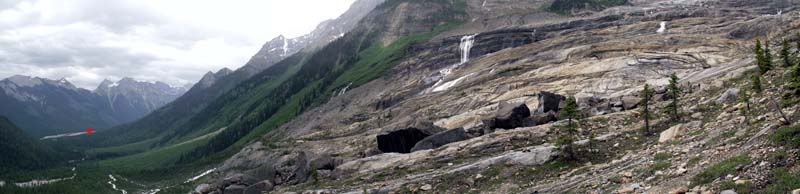
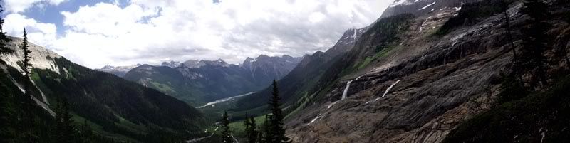
Looking back, the red dot to the left shows where we came from...that's the blaeberry river about 7kms away...
The last 200 ft was over loose shale and at a 40 degree angle...Mr Wells decided that it was safer in the tree line along the ridge to the right (I said that all along...) but I stubbornly scrambled to the top, only to be greeted by my smug friend...
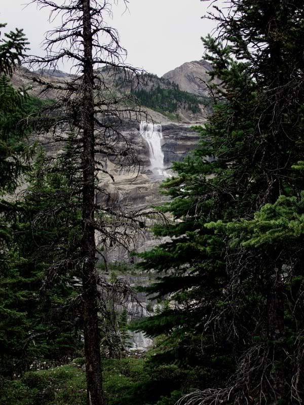
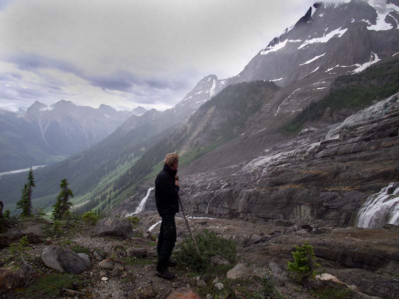
The view was well worth all the sweat and shortness of breath...
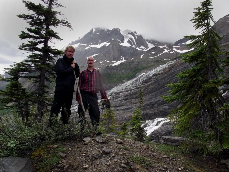
Mr Wells 'looks down' on the glacier
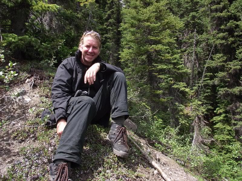
Two old settler decide it's time to leave the mountain as the weather closes in...
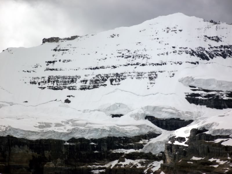
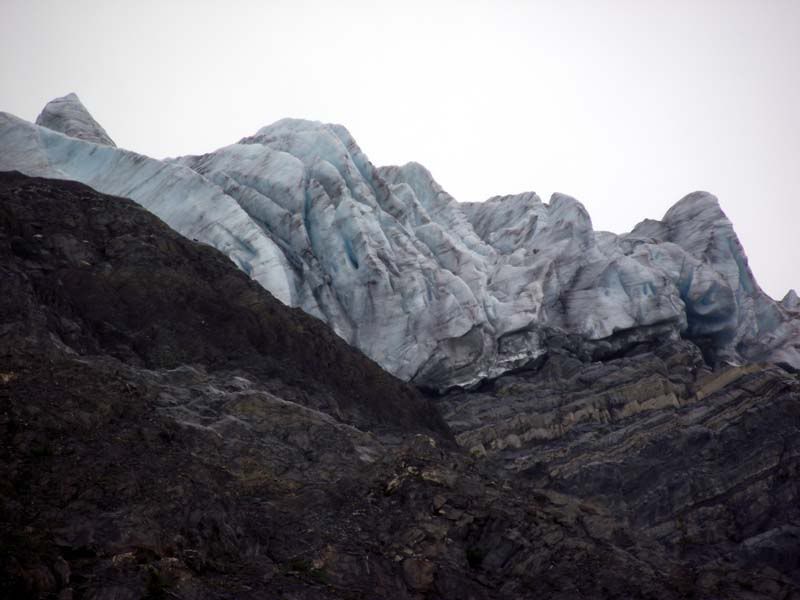
Ice in your drink sir??? The tip of the glacier...
The walk up took five hours...7kms with an elevation of 6000ft...the walk back took 3 hours...and the storm rolled in...
There is little doubt that this was the best day of the holiday (for me), the effort and sense of achievement made the canadian whisky all the more palatable...A crackin' walk...Found out later we had completed the official route when we came to the fore field, and that the climb at the end to the tip of the glacier is not commonly done...Now you tell me...
This is an account of one of those "quiet hikes"...
Now, my very good friend, Mr Wells, came out with his family a few days after us to join in the holiday fun, and being as we are always on the look out for a new challenge, "we" decided to attempt the Mummery glacier, which sits at around 2000m above the Blaeberry valley to the NW, and is a southern tip of the Colombia Icefield.
The logging road that runs parallel to the Blaeberry river had been washed out in the spring floods, and so having driven as far as we could, that left us short of the access road to the trail by a good 2kms. So at around 0900 we started walking toward the distant spot marked on the image below...
Nice and easy the first couple of clicks, follow the road and admire the scenery...
Cougar Scat...no need to panic, quite an old deposit...
Cougar footprint (hmm...quite fresh that...)
That's better, an nice cute White Tail fawn
Hmm...Not all bears s**t in the woods, it would seem...
A hiatus while I admire the Thompson Falls...
Having walked to the logging track took a left and followed the track up about another click until we reached the start of the track through the wooded vale...
Wonderfully claustrophobic along this stretch of trail, and eerily calm...Continued until we reached the stream...should be a bridge around here somewhere???
Having decided that a bridge was too easy anyway, forded the stream in good old fashioned settler style and made it to the edge of the glacial fore field.
Mr Wells under a "glacial erratic"...Big boulder to you and me...)
The glacial fore field...note the scouring of the rock bed... the forces involved are hard to imagine..
Looking back, the red dot to the left shows where we came from...that's the blaeberry river about 7kms away...
The last 200 ft was over loose shale and at a 40 degree angle...Mr Wells decided that it was safer in the tree line along the ridge to the right (I said that all along...) but I stubbornly scrambled to the top, only to be greeted by my smug friend...
The view was well worth all the sweat and shortness of breath...
Mr Wells 'looks down' on the glacier
Two old settler decide it's time to leave the mountain as the weather closes in...
Ice in your drink sir??? The tip of the glacier...
The walk up took five hours...7kms with an elevation of 6000ft...the walk back took 3 hours...and the storm rolled in...
There is little doubt that this was the best day of the holiday (for me), the effort and sense of achievement made the canadian whisky all the more palatable...A crackin' walk...Found out later we had completed the official route when we came to the fore field, and that the climb at the end to the tip of the glacier is not commonly done...Now you tell me...
")