gps
- Thread starter adestu
- Start date
-
Hey Guest, Early bird pricing on the Summer Moot (29th July - 10th August) available until April 6th, we'd love you to come. PLEASE CLICK HERE to early bird price and get more information.
You are using an out of date browser. It may not display this or other websites correctly.
You should upgrade or use an alternative browser.
You should upgrade or use an alternative browser.
..............A map? Its proven technology and doesn't run out of power or loose signal.
Blows away though....
Blows away though....
Or goes on fire. Damn it i hate it when that happens. Still, at least my gps will be ok and ill get out alive
OP
I understand Garmin and magellan will let you dual boot OS and road nav maps. I prefer separate units though. I only ever use navfree from the android market in the car now. Garmin Oregon 650t is my gps. To be fair most GPS displays are pants no matter what you get. I use mostly memory map on my phone as the display is cracking.
I use mostly memory map on my phone as the display is cracking.
You should get that repaired...
You should get that repaired...
It is actually cracking and cracking lol. 2 months till upgrade time. These modern phones dont like sudden collisions with cast iron fire pits

It is actually cracking and cracking lol. 2 months till upgrade time. These modern phones dont like sudden collisions with cast iron fire pits
It did hit with a bang didn't it
..............A map? Its proven technology and doesn't run out of power or loose signal.
A paper map is not a GPS, its a map.
A GPS that has map built in can also be updated and you can take spare power with you. Nobody is trying to get rid of paper maps etc they are very important, however some people prefer to use tech on top of having nav/map skills.
Hi all
can anyone recommend a handheld gps for general walking and driving about.
Sent from my GT-I9505 using Tapatalk 2
No real need for a dedicated GPS device nowadays as most of us carry them in our pockets already in the form of a mobile phone. Just get a Android device and install one of the many great Navigation/GPS/Mapping apps like BackCountry Navigator, Google Maps, ViewRanger etc. You can download offline maps with them so no need for a mobile/data signal etc as it just uses the offline map and GPS.
Display on most phones are much better then standalone GPS devices anyway and you can always get a protective casing to make it waterproof or more hard wearing
Last edited:
I disagree a bit with not needing separate units. I use CoPilot on my iPhone for driving but would never really use iphone stuff for walking in the outdoors- poor battery life, rubbish screen to name but two issues. Absolutely fine for a wee bimble or a spot of Geocaching, but if I'm out for the day or longer it's always the SatMap Active 10 for me (map and compass in the pack too mind . )
. )Whittler Kev
Bushcrafter (boy, I've got a lot to say!)
Loads of free gps and map apps on amazon to use on your phone or tablet that use downloaded maps
http://www.amazon.co.uk/s/ref=nb_sb...free+map+apps&rh=n:1661657031,k:free+map+apps
http://www.amazon.co.uk/s/ref=nb_sb...free+map+apps&rh=n:1661657031,k:free+map+apps
Last edited:
I disagree a bit with not needing separate units. I use CoPilot on my iPhone for driving but would never really use iphone stuff for walking in the outdoors- poor battery life, rubbish screen to name but two issues. Absolutely fine for a wee bimble or a spot of Geocaching, but if I'm out for the day or longer it's always the SatMap Active 10 for me (map and compass in the pack too mind
Who said anything about a iPhone? lol
I specifically said Android. They have MUCH better screens and much better battery life, well at least all the devices I have had anyway. You can also tweak them to give MUCH more life by lowering CPU and other power useage etc.
Have you ever used any OS mapping or other off-road mapping software on a smartphone (mainly android)? All the issues you name are specific to a iPhone which is more of a fashion toy, not a smartphone (sorry).
Last edited:
I just did 5 days four nights with my S3 and one spare battery. plenty of gps use as well as radio in the evenings and texting / calling home. I only tend to use a dedicated gps abroad.
I just did 5 days four nights with my S3 and one spare battery. plenty of gps use as well as radio in the evenings and texting / calling home. I only tend to use a dedicated gps abroad.
Curious, why abroad bud?
Curious, why abroad bud?
Mainly because i want some redundency in my kit. If my phone breaks ive still got a gps. 2 is 1 and 1 is none as they say.
Mainly because i want some redundency in my kit. If my phone breaks ive still got a gps. 2 is 1 and 1 is none as they say.
Gotcha
Think I assumed because of signal purposes. Was going to mention that you can download the maps for offline use.
Tbh I still think I would just take a secondary phone, something like a cheaper older model like an S2 for example. Still a much better screen than any standalone GPS as you can have multiple GPS dedicated apps rather than been limited to one operating system/app from the manufacturer.
In any case its recomended to get a hard shell if using phones.
All my maps are on the phone mate. id never use a system that relied on tinternet signal.
Ive invested in overseas maps which is what really ties me to the GPS unit for expeds. I also find the GPS a little more sophisticated in terms of route tracking and route reversal in a jam. It also gives me altitude data which allows for further cross referencing and micro nav compared to the phone.
Ive invested in overseas maps which is what really ties me to the GPS unit for expeds. I also find the GPS a little more sophisticated in terms of route tracking and route reversal in a jam. It also gives me altitude data which allows for further cross referencing and micro nav compared to the phone.
For years I have used a Garmin etrex, the base model of the range. It's ok, I use it mostly for geocaching rather than much else. It has it's flaws, the battery life is poor, and if you drop it it turns off, if there is a lot of vibration, it turns off, it turns off randomly when walking, without telling me and then I lose some of my track and so on...
These days I tend to mostly use my android smart phone, and an app called view ranger. This has a number of useful features. The main ones I rely on are:
The downside of all this: battery life. This is largely dependant on your handsets battery life, but can be very poor.
Hope this helps.
J
These days I tend to mostly use my android smart phone, and an app called view ranger. This has a number of useful features. The main ones I rely on are:
- Location with a map - the default is open street map, but you can pay and load OS 1:25k maps.
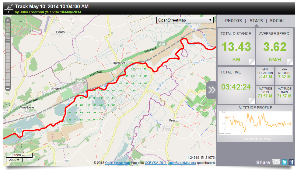
- Tracking - Keeps a log of my route so I can draw pretty maps later (see below)
- Buddy beacon - At a set interval (every 5mins to every few hours) it sends out my location, meaning that if something happens the local search and rescue can come find me easily. (Mainly as a friend in said SAR group has access to my beacon).
- Loggint positions - So I can record my campsite location, useful trees (most of my points are called "Hazel tree" "hazel tree 2" "sloes" "more sloes" "damsons")
The downside of all this: battery life. This is largely dependant on your handsets battery life, but can be very poor.
Hope this helps.
J
Similar threads
- Replies
- 10
- Views
- 361
- Replies
- 21
- Views
- 1K
- Replies
- 16
- Views
- 384
- Replies
- 1
- Views
- 266