I'm a compass user, but I do get slightly irked by some of the nonsense that gets thrown about re. GPS.
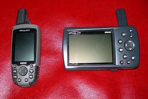
The straw man that always gets thrown up is that it's Map + Compass vs GPS. With the exception of a few relatively recent units most GPS recievers don't give much in the way of mapping. I have the garmin vista hcx with the UK topo maps and the maps are only good for a little situational awareness. The reality is the debate should be map+compass vs map+gps. And it's not really that complicated a debate - a GPS tells you where you are and a compass tells you where you're pointing, and from each you can extrapolate the other, more or less. Both have their limitations - pricipally revolving around visibility, either of landmarks or the sky. And both have their reliability issues, and though compasses clearly have the advantage here, they're not foolproof. Functionally, GPS recievers are the winners though, being able to backtrack on your breadcrumb can be very handy, and if either fails, you'll have a better chance guessing direction.
Like I say, I use a map and compass, mainly because it's more pleasurable, and connects you with your surrounding landmarks. But I don't understand why people feel the need to create a caricature of GPS users, IF someone decides to wander off the beaten track without a paper map, that's a separate issue. Anyway, the best navigation tool is the ability to relate map to terrain, something two decades of practice has only left me mediocre at best, unfortunately ;-)
")

")
