When most people think of Welsh mountains, they think either Snowden or the Brecon Beacons but whilst not quite as exotic, the Welsh Valleys has a lot to offer. So I've decided to explore more of my local area, the Welsh Valleys.
This has been spurred on by my right hand man, my best friend, my son who turned 4 in December, who's starting to walk further and further and who has a clear passion for the outdoors..
A couple of weeks ago we purchased an OS map for our local area to seek out local woodlands and mountains to walk, and for me to get back in to practice with my map reading skills. Last week we decided to walk a local mountain which started at Clydach Vale and which would take us to 480m on our planned route, the highest my son has hiked so far.
We actually visited this place twice, on the Sunday to scout the place out, and on the Monday to attempt the hike we had planned out. Clydach Vale is a beautiful countryside park with two lakes, plenty of walks and lot's of wildlife to see. During our Sunday scout, it rained heavy from about half way through the walk.
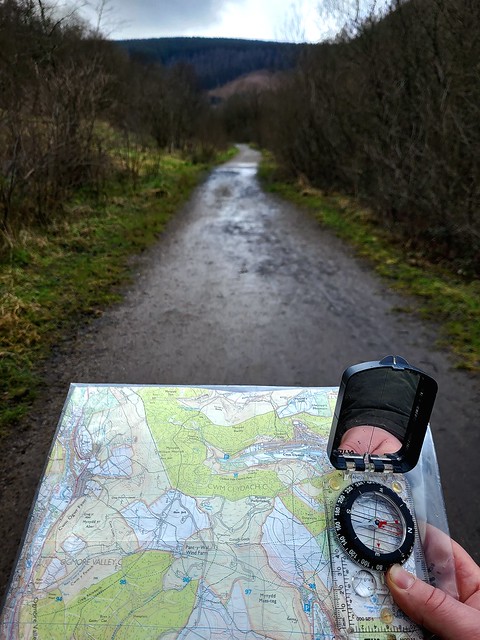


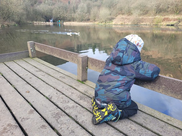


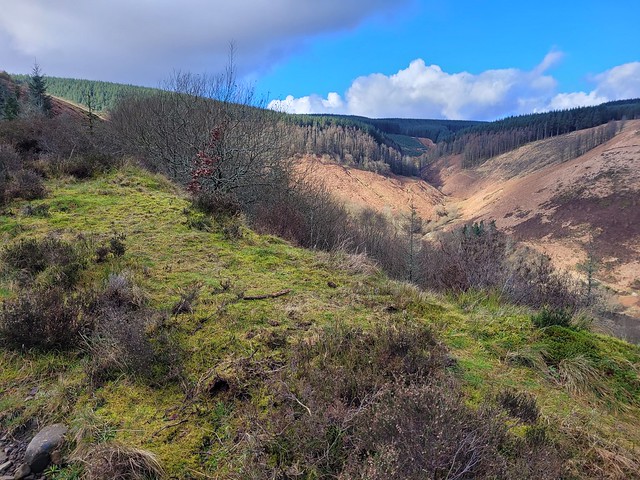
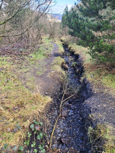
On the Monday, we decided to attempt the hike up to the top and we lucked out with dry, cold weather for the day. The round trip was a total of about 3.5 miles which took us 3 hours and 46 minutes which included a half hour stop for food and hot chocolate and a few stops to admire the views. We came back down the same way we went up. Unfortunately, I don't have as many photos of the hike up as I would have liked but the majority of it was fairly steep and rocky with occasional pine forests.

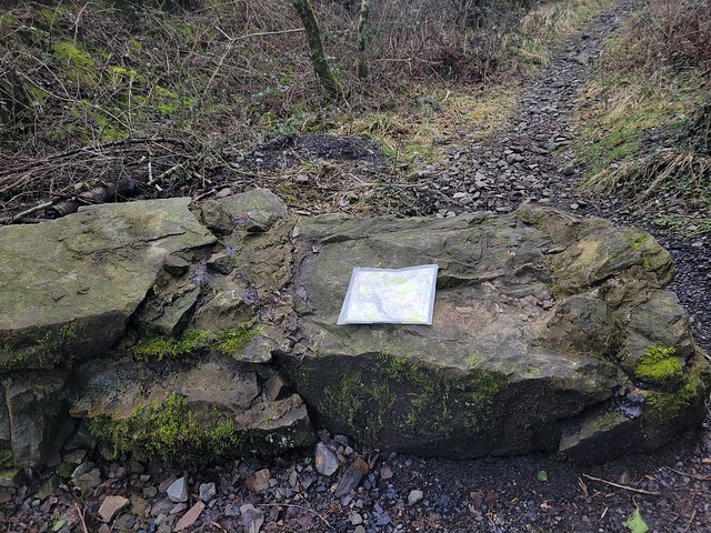
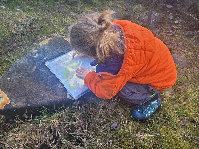
This rock is actually shown on the OS Explorer map, I love how detailed these maps are.
You're never too young to start learning to read a map, right?


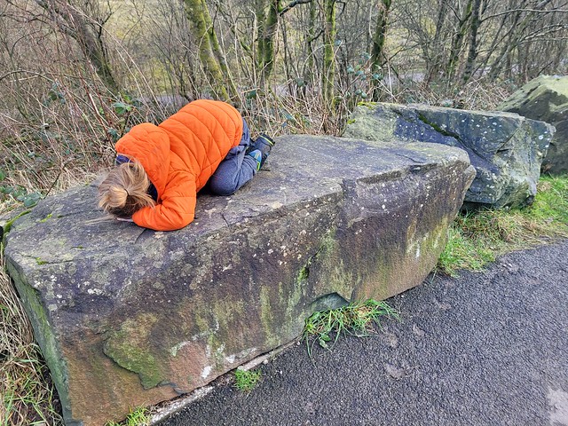
Just about worn out at the end of the walk (we both slept well that night)
This has been spurred on by my right hand man, my best friend, my son who turned 4 in December, who's starting to walk further and further and who has a clear passion for the outdoors..
A couple of weeks ago we purchased an OS map for our local area to seek out local woodlands and mountains to walk, and for me to get back in to practice with my map reading skills. Last week we decided to walk a local mountain which started at Clydach Vale and which would take us to 480m on our planned route, the highest my son has hiked so far.
We actually visited this place twice, on the Sunday to scout the place out, and on the Monday to attempt the hike we had planned out. Clydach Vale is a beautiful countryside park with two lakes, plenty of walks and lot's of wildlife to see. During our Sunday scout, it rained heavy from about half way through the walk.


On the Monday, we decided to attempt the hike up to the top and we lucked out with dry, cold weather for the day. The round trip was a total of about 3.5 miles which took us 3 hours and 46 minutes which included a half hour stop for food and hot chocolate and a few stops to admire the views. We came back down the same way we went up. Unfortunately, I don't have as many photos of the hike up as I would have liked but the majority of it was fairly steep and rocky with occasional pine forests.

This rock is actually shown on the OS Explorer map, I love how detailed these maps are.


You're never too young to start learning to read a map, right?


Just about worn out at the end of the walk (we both slept well that night)

