Hi,
A couple of weeks back I went and did my Bush II Instructors assessment down at Mt Ruapehu here in NZ.
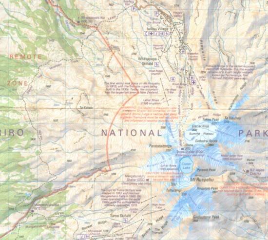
Here is a map of the area where we were working
For comparison I dug out one of my old maps of the Lakes for those of you who might like to compare a NZ 1:50000 topo with a OS 1:50000
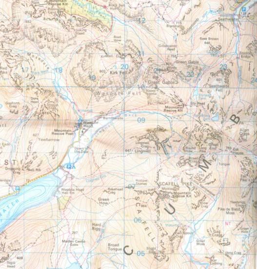
The vertical interval on the NZ map is 20m for those who were wondering...
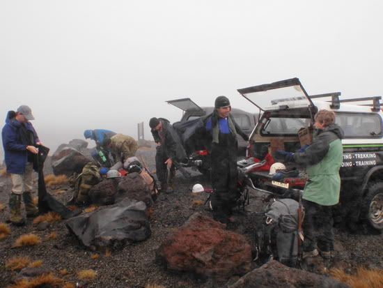
Anyhow we all met up on the mountain and with a crappy weather report we got geared up for bad weather and some Snowcraft practice
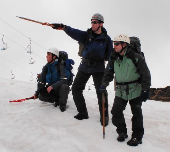
After a bit of a plod up hill we broke down into smaller groups to get assessed on our self arresting and leadership skills in the snow, step cutting route finding etc....
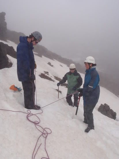
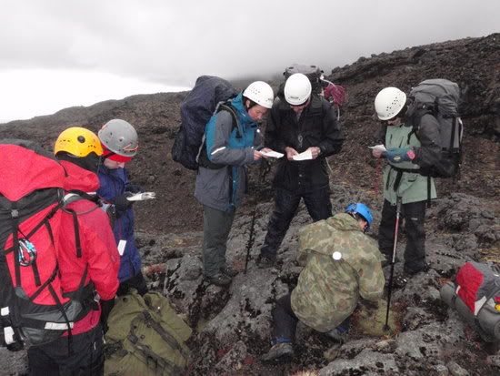
followed by a bit of rope work assessment featuring rock and snow belays
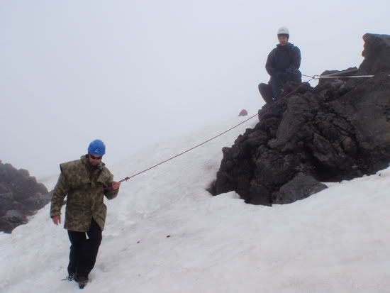
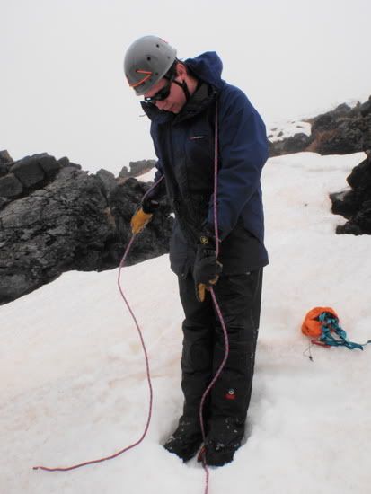
The Stomper Belay is quite common over here on moderate snow slopes
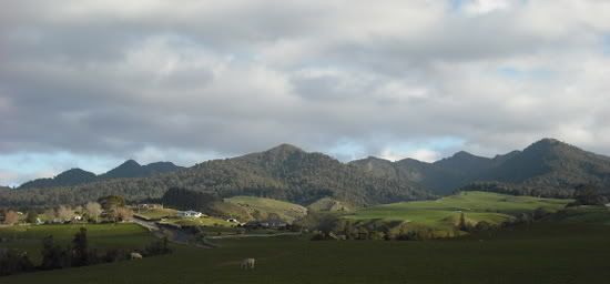
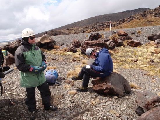
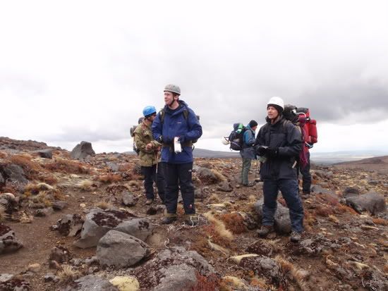
After that phase we headed out of the snow line and were set a navigation task to navigate to a point.
This is pretty typical terrain below the snowline..
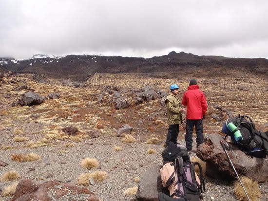
The Auscam jacket blends in pretty well in this terrain...
Anyhow half way through my nav leg we get stopped and have to prove where we are by a couple of differing methods one being resection
Then it's off again
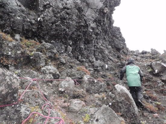
It starts to sleet and we had to stop and set up a rope hand rail like this
The we decended down to about 1200m to find a spot to camp in some wet mountain terrain...
It had been a reasonably full day and the cracks started to show up in some of the group with poor nav and a bit of self induced stress
Anyway after we set up camp and some food and a good nights rest the following day was very wet indeed.. So much so that not a lot of photos got taken.. Basically the day consisted of more Nav and some scree crossing practice...
Out of the 4 of us who were up for Assessment 2 passed and I was fortunate enough to pass...
So I ended up with the Bush II award and I've also now completed my Diploma in Outdoor Leadership and Bushcraft which I get presented in January...
Cheers
John
A couple of weeks back I went and did my Bush II Instructors assessment down at Mt Ruapehu here in NZ.
Here is a map of the area where we were working
For comparison I dug out one of my old maps of the Lakes for those of you who might like to compare a NZ 1:50000 topo with a OS 1:50000
The vertical interval on the NZ map is 20m for those who were wondering...
Anyhow we all met up on the mountain and with a crappy weather report we got geared up for bad weather and some Snowcraft practice
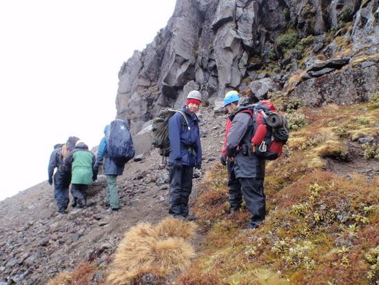
After a bit of a plod up hill we broke down into smaller groups to get assessed on our self arresting and leadership skills in the snow, step cutting route finding etc....
followed by a bit of rope work assessment featuring rock and snow belays
The Stomper Belay is quite common over here on moderate snow slopes
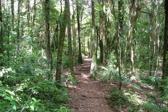
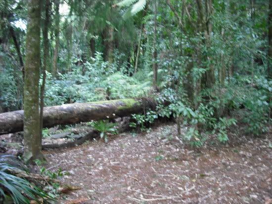
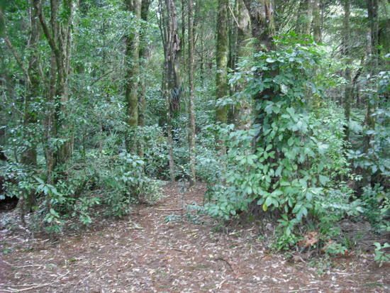
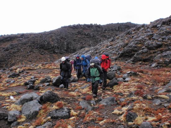
After that phase we headed out of the snow line and were set a navigation task to navigate to a point.
This is pretty typical terrain below the snowline..
The Auscam jacket blends in pretty well in this terrain...
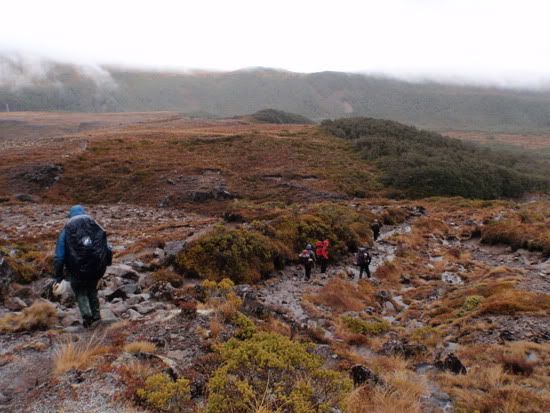
Anyhow half way through my nav leg we get stopped and have to prove where we are by a couple of differing methods one being resection
Then it's off again
It starts to sleet and we had to stop and set up a rope hand rail like this
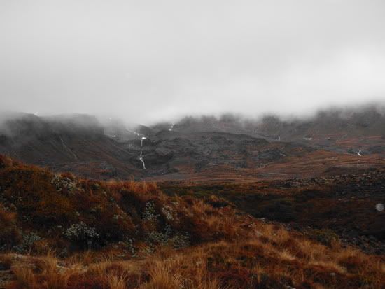
The we decended down to about 1200m to find a spot to camp in some wet mountain terrain...
It had been a reasonably full day and the cracks started to show up in some of the group with poor nav and a bit of self induced stress
Anyway after we set up camp and some food and a good nights rest the following day was very wet indeed.. So much so that not a lot of photos got taken.. Basically the day consisted of more Nav and some scree crossing practice...
Out of the 4 of us who were up for Assessment 2 passed and I was fortunate enough to pass...
So I ended up with the Bush II award and I've also now completed my Diploma in Outdoor Leadership and Bushcraft which I get presented in January...
Cheers
John