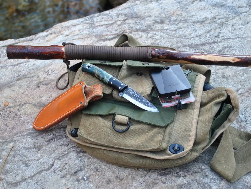
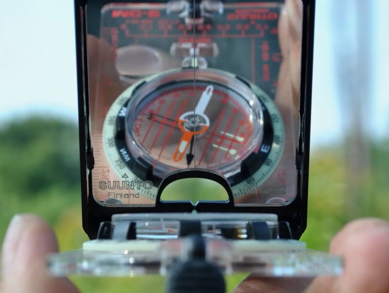
I guess that would have been me!! 
But seriously.....
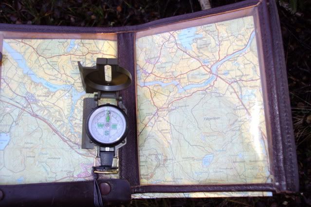
I've been out again today with the purpose of (re)learning navigating by map and compass. First I had planned to nagotiate the terrain in a straight line, or at least as good as possible, to a predestined goal. I checked the map and planned the route in advance. The endgoal would be a bend in a little road, leading to a small lake. from there on I would move around that lake, travel to a second one and from there on I would be on known territory again to head back home.
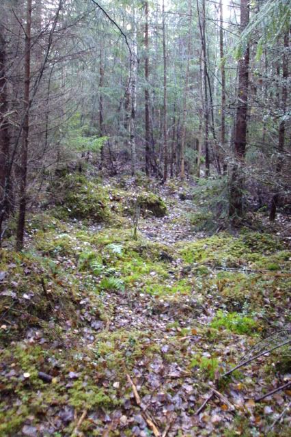
Within 100 meters I ran into my first challenge. On the map the green colour shows the wooded areas, but unfortunately it doesn't say what kind of woods you'd be running in to. The route I had planned would be straight through young woods. Hard to move through and impossible to navigate by using terrainfeatures....
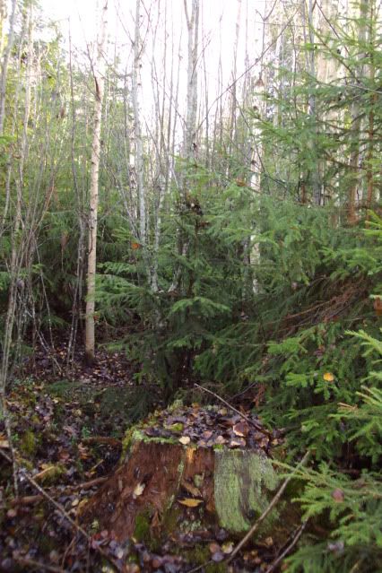
This meant navigating using map and compass only. Thankfully it was a sunny day, so I could use the sun als a guidance.
I needed to generally head this direction;
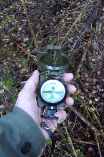
That meant that way;
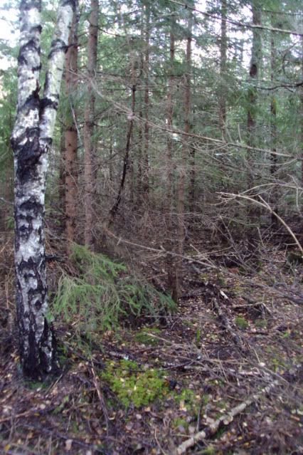
Plenty of water.....
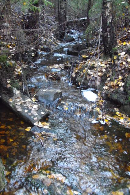
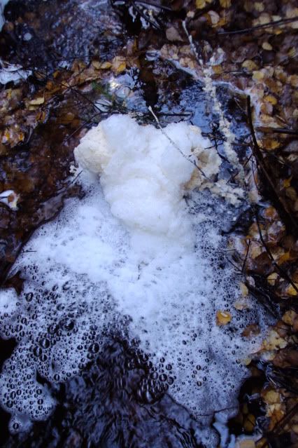
But I do not know if it is safe to use? No idea why it foamed this badly....
After stumbling through the woods, complete with rocks, marshy soil, loads of decaying branches and other surprises, for more than an hour, I entered a larger clearcut area, overgrown with tall grasses, small trees with lots of spaces between them, and many gametrails. This could only mean one thing; ticks!!
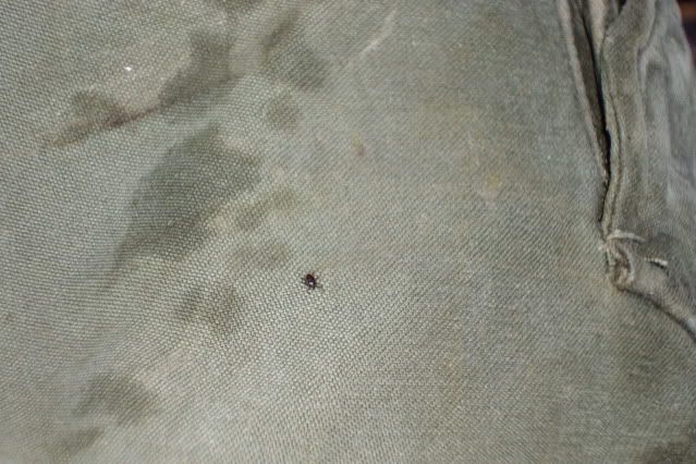
And what do you know.... I knocked at least 6 off of my pants! 2 nymphae, but larger ones, too. Since I moved here I made a habbit out of whenever I travel across this sort of terrain, I regularly stop, climb onto a bolder of treestump and check the legs of my pants. This way you can see the little *notsonicenamecalling* better. I guess the light catches them better, this way.
I caught myself using this kind of passages whenever possible and then turn back to my original heading, zigzagging my way through.
By lunchtime I took a break and studied the map again. I ended up in a piece of wood I could see where I was and I found out I had gotten off course. It wasn't easy finding your way through the thickets with a backpack, belt and mapcase. I also misinterpreted the position of sun somewhat. I used it as I would in Holland, but 1600km further up north it a little different, especially this time of year!
The blue line is the route I took, the first red cross is where I ended up, coming out of the young wooded area, the second red cross is where I was supposed to be and the red dotted line is the deviation. Scale is 1:50000

I was soaking wet. Above the belt from perspiration, below because of the dew and water. While I was standing there, preparing lunch and a cup of tea, I had a second less pleasant experiance; I was hgetting quite cold, quite fast!
I made the classical error of dressing up too warm at the start, did not bring any dry clothes to change into ànd I made the wrong choice in fabric. Now I was reminded again of the saying "cotton kills".....
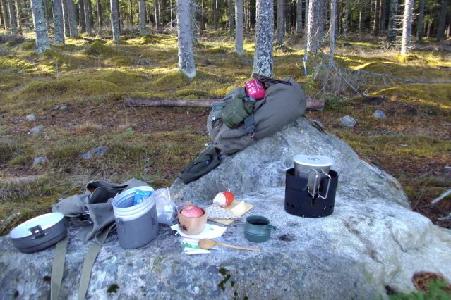
Temperature was about 5 or 6 degrees centigrade and the wind was picking up. Standing still wasn't very comfortable, so I quickly finished my lunch, had a second cup of thea, while packing up. My fingers felt cold, just by handling the metal of my Swedish cookingset! That should be fun when it really starts to get cold, here!
After lunch I chose not to go on to my set goal, but to shorten the trail by following an old lumbertrack. There were gunshots coming from the direction I initially planned to move to. They were still distant, but I felt uncomfortable with it.... The track was also more spacious and a lot sunnier and I also could move better and faster. This meant I was going to get warm again, soon. It turned out to be a great area to walk through! Great surroundings, lovely sun and I was comfortably warm, again!
Hey! A roadsign! It says "Dammsjönsvägen", meaning Dammsjöroad;
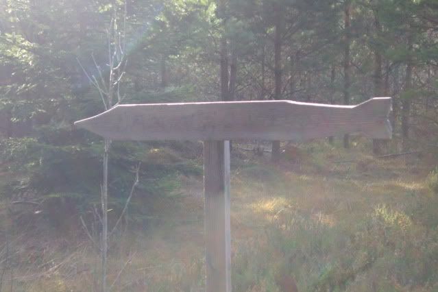
The road....
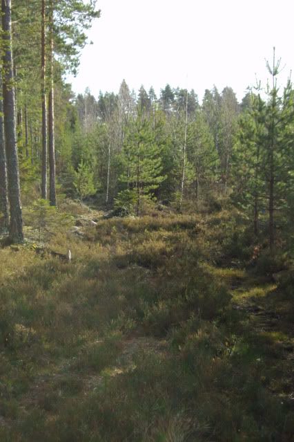
Wet feet for sure!
a woodpecker. I was able to sneak up to it to about 4 meters;
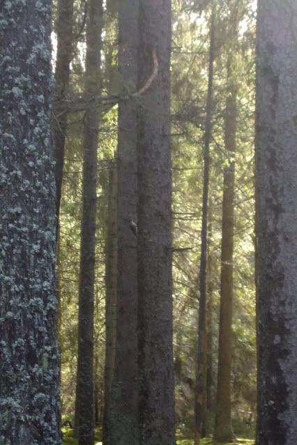
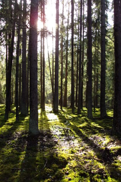
Loved the way the sunlight lit up the edges;
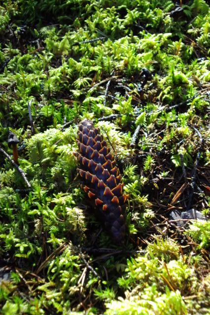
With map & compass in hand I found the first little lake; the Lilla Dammsjön.
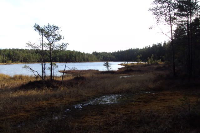
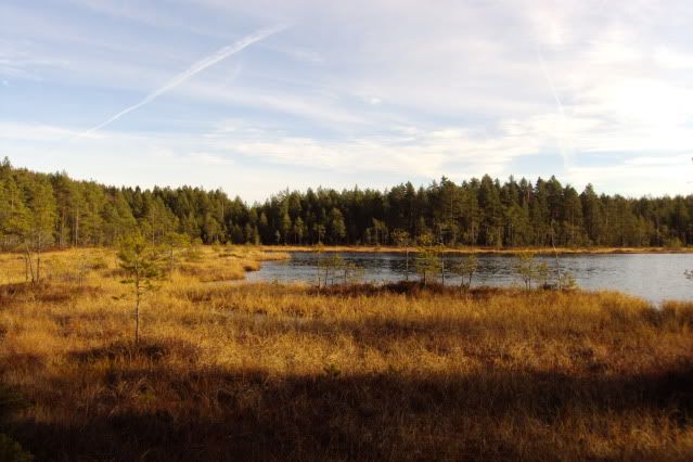
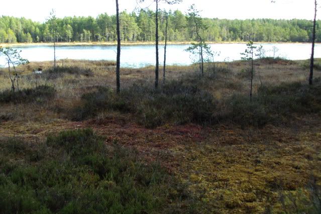
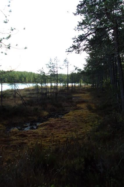
Enjoying the scenery and silence I moved on to the next goal; the Stora Dammsjön.
The "path";
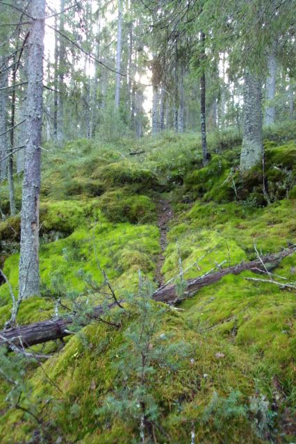
A miniature forrest in the large forrest;
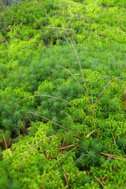
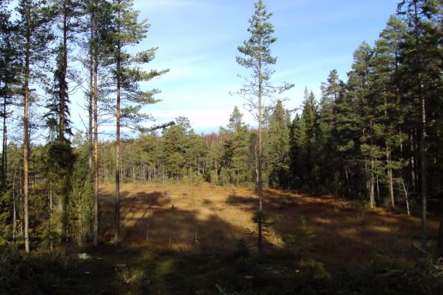
After a relatively easy walk, using the more open, older woods and available tracks, there was light at the end of the tunnel;
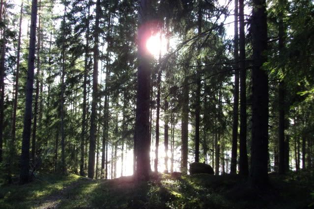
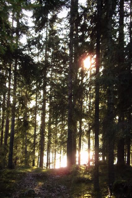
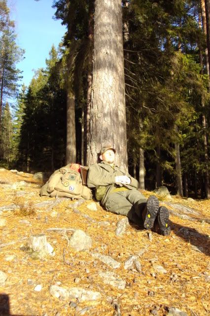
Here I had a second break and enjoying the rays of the autumnsun. The wind was more powerfull here, but so was the sun, compensating the windchill. Travelling here was also a little easier, so sweating was less. Therefor I wasn't as wet as befor and then wearing ones old armygear is quitye comfortable.
While fiddling in my pockets, I came across these!;
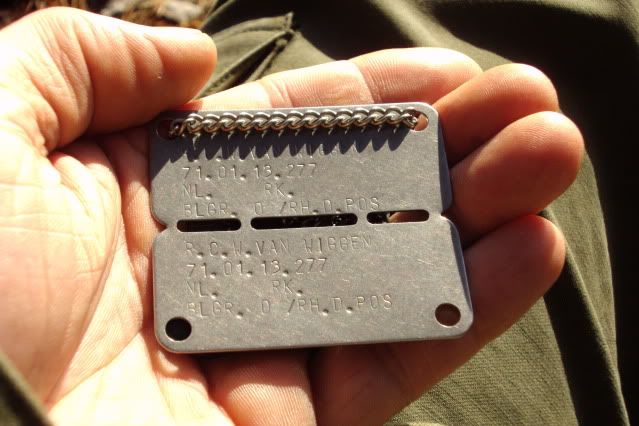
My old army dogtags! Don't know hw they got there or how long they have been there, but I was quite surprised!!
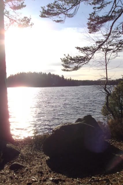
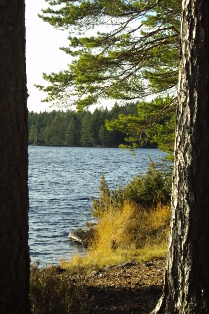
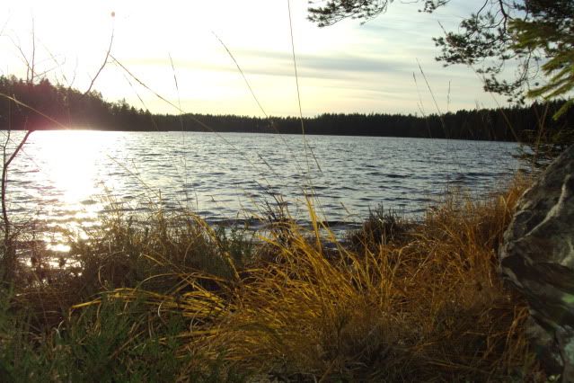
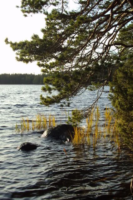
I'll bore you lot with some more pretty pictures and then I'll be heading back home again. The sun is setting allready and it's more than an hour and a half's walk.
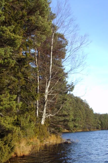
The entire trip took me about 5 hours and I relearned that you should never underestimate the combined forces of wet and wind! Today was a good day with lots of sun, wind and lower temeratures, but if it starts to get real nippy in a week or 2....
The current way of packing my pack isn't adequate anymore. I have to redo it with a second set of clothing and other gear.
Moving across the terrain is time- and energyconsuming and that's something I tend to forget/underestimate, too. On the other hand, navigating using my map and compass worked out quite well, apart from moving "blindly". I ended up where I wanted to be, was able to read and use the terrain, map and compass.
And the ticks?? Well, either my fieldtickcheckmethod works òr the critters just think I taste bad, but when I got home, there wasn't a single one on me!
All in all a day well spent!
But seriously.....

I've been out again today with the purpose of (re)learning navigating by map and compass. First I had planned to nagotiate the terrain in a straight line, or at least as good as possible, to a predestined goal. I checked the map and planned the route in advance. The endgoal would be a bend in a little road, leading to a small lake. from there on I would move around that lake, travel to a second one and from there on I would be on known territory again to head back home.
Within 100 meters I ran into my first challenge. On the map the green colour shows the wooded areas, but unfortunately it doesn't say what kind of woods you'd be running in to. The route I had planned would be straight through young woods. Hard to move through and impossible to navigate by using terrainfeatures....

This meant navigating using map and compass only. Thankfully it was a sunny day, so I could use the sun als a guidance.
I needed to generally head this direction;

That meant that way;

Plenty of water.....

But I do not know if it is safe to use? No idea why it foamed this badly....

After stumbling through the woods, complete with rocks, marshy soil, loads of decaying branches and other surprises, for more than an hour, I entered a larger clearcut area, overgrown with tall grasses, small trees with lots of spaces between them, and many gametrails. This could only mean one thing; ticks!!
And what do you know.... I knocked at least 6 off of my pants! 2 nymphae, but larger ones, too. Since I moved here I made a habbit out of whenever I travel across this sort of terrain, I regularly stop, climb onto a bolder of treestump and check the legs of my pants. This way you can see the little *notsonicenamecalling* better. I guess the light catches them better, this way.

I caught myself using this kind of passages whenever possible and then turn back to my original heading, zigzagging my way through.

By lunchtime I took a break and studied the map again. I ended up in a piece of wood I could see where I was and I found out I had gotten off course. It wasn't easy finding your way through the thickets with a backpack, belt and mapcase. I also misinterpreted the position of sun somewhat. I used it as I would in Holland, but 1600km further up north it a little different, especially this time of year!
The blue line is the route I took, the first red cross is where I ended up, coming out of the young wooded area, the second red cross is where I was supposed to be and the red dotted line is the deviation. Scale is 1:50000

I was soaking wet. Above the belt from perspiration, below because of the dew and water. While I was standing there, preparing lunch and a cup of tea, I had a second less pleasant experiance; I was hgetting quite cold, quite fast!
I made the classical error of dressing up too warm at the start, did not bring any dry clothes to change into ànd I made the wrong choice in fabric. Now I was reminded again of the saying "cotton kills".....
Temperature was about 5 or 6 degrees centigrade and the wind was picking up. Standing still wasn't very comfortable, so I quickly finished my lunch, had a second cup of thea, while packing up. My fingers felt cold, just by handling the metal of my Swedish cookingset! That should be fun when it really starts to get cold, here!

After lunch I chose not to go on to my set goal, but to shorten the trail by following an old lumbertrack. There were gunshots coming from the direction I initially planned to move to. They were still distant, but I felt uncomfortable with it.... The track was also more spacious and a lot sunnier and I also could move better and faster. This meant I was going to get warm again, soon. It turned out to be a great area to walk through! Great surroundings, lovely sun and I was comfortably warm, again!
Hey! A roadsign! It says "Dammsjönsvägen", meaning Dammsjöroad;

The road....

Wet feet for sure!

a woodpecker. I was able to sneak up to it to about 4 meters;


Loved the way the sunlight lit up the edges;

With map & compass in hand I found the first little lake; the Lilla Dammsjön.


Enjoying the scenery and silence I moved on to the next goal; the Stora Dammsjön.
The "path";

A miniature forrest in the large forrest;

After a relatively easy walk, using the more open, older woods and available tracks, there was light at the end of the tunnel;


Here I had a second break and enjoying the rays of the autumnsun. The wind was more powerfull here, but so was the sun, compensating the windchill. Travelling here was also a little easier, so sweating was less. Therefor I wasn't as wet as befor and then wearing ones old armygear is quitye comfortable.

While fiddling in my pockets, I came across these!;

My old army dogtags! Don't know hw they got there or how long they have been there, but I was quite surprised!!
I'll bore you lot with some more pretty pictures and then I'll be heading back home again. The sun is setting allready and it's more than an hour and a half's walk.


The entire trip took me about 5 hours and I relearned that you should never underestimate the combined forces of wet and wind! Today was a good day with lots of sun, wind and lower temeratures, but if it starts to get real nippy in a week or 2....
The current way of packing my pack isn't adequate anymore. I have to redo it with a second set of clothing and other gear.
Moving across the terrain is time- and energyconsuming and that's something I tend to forget/underestimate, too. On the other hand, navigating using my map and compass worked out quite well, apart from moving "blindly". I ended up where I wanted to be, was able to read and use the terrain, map and compass.
And the ticks?? Well, either my fieldtickcheckmethod works òr the critters just think I taste bad, but when I got home, there wasn't a single one on me!
All in all a day well spent!


