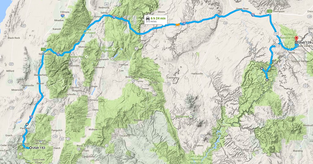
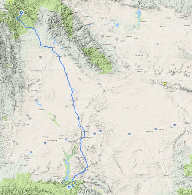
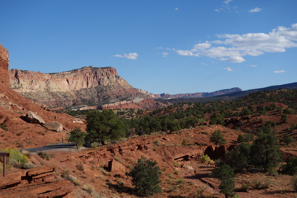
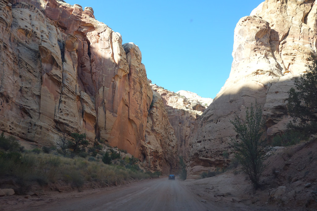
September 2016 - Colorado, Wyoming and Utah Road Trip.
After the success of my 2015 trip to New Zealand I decided there was no reason to put off another of my “bucket list” trips any longer, so in the spring of 2016 I started planning a trip to see some of the Western USA. I wanted to go slightly off-season, after the heat of summer but before winter set in, and had to dovetail with some family related plans. September looked the most suitable month and I made my plan to drive a great loop, starting and finishing in Denver, Colorado, which would take me up through Wyoming to Yellowstone, then down through Utah to Bryce Canyon, before crossing Utah and the Colorado Rockies back to Denver. I would have liked to go slightly later, but family stuff had me arriving just before the Labor Day weekend, but I had three weeks in hand, which seemed like enough.
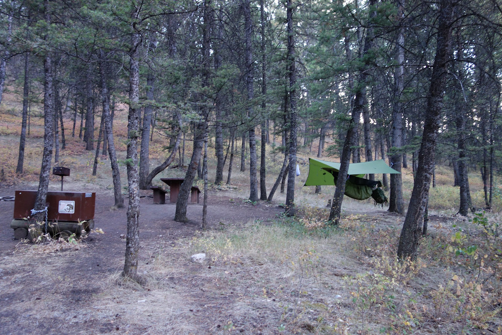
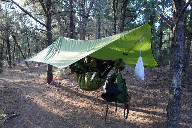
Early on I decided I was going to hammock camp as much as possible so I tried to choose camping stops with this criterion in mind. In New Zealand I had borrowed a big tent and found it overly bulky to travel with, and I just like my hammock. Google Maps and Google Earth were absolutely invaluable in helping with planning. Hammock Forums with their dedicated sub sections for parts of the US was also really good. Given the number of times that things didn’t go quite to plan I hate to think what it would have been like had I not planned using such powerful tools.
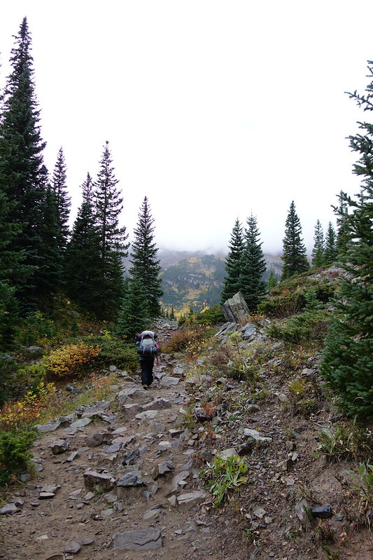
This wasn’t just a trip to see national parks; it was also a road trip. So although I might have had more time to see parks if I had flown into Salt Lake City, or taken hops to smaller airports, I actually wanted to drive and I don’t regret that choice at all. The downside of all the driving, 3500 miles in all, was that I didn’t get time to do much hiking and almost no backpack camping.
Denver wasn’t just a gateway, if was a destination in itself. Spyderco have their US operation in Golden, on the west side of Denver, and as a bonus, Kifaru have their factory and show room in West Denver. Although Spyderco don’t make the BushcraftUK or Proficient knives in Golden, I was keen to see how they went about designing and manufacturing their knives and asked, well in advance, if there was any chance of a factory tour.
Wednesday 31 August.
British Airways, direct flight to Denver, arriving at about 5:30pm. Picked up hire car from Alamo (booked through http://www.usrentacar.co.uk/) and checked in to pre-booked Microtel Inn.
Thursday 1 September.
No problem getting up early enough, jet lag saw to that. It was an hour’s drive across Denver to reach Spyderco for 10:00, which left enough time to pick up some food from a super market on the way.
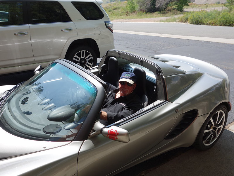
I wasn’t expecting much of anyone’s time, maybe just a couple of hours to look around the factory, so was totally blown away when I found that Sal had left the whole day clear in his diary so he could show me around! He had even come to work in his British car to mark the occasion!
 DSC04856 by Last Scratch, on Flickr
I am sorry to say that I don’t have photos from the tour. I am not good at playing photo-journalist, and as expected the number of things that I could have photographed was limited. Anyway BladeHQ has already done a far better factory tour video than anything I could produce. The visit was for me, rather than for me to share.
 Some of the manufacturing equipment they have is seriously cool. I had a great time, learned a lot, and got a far better insight into the thought and design philosophy underpinning Spyderco's products.
 Sal and his wife Gail were most concerned when they learned that I didn’t have anywhere booked for that night and that I planned to camp. They told me that even though it was Thursday, the campsites would be full running up to the Labor day weekend and I quickly found myself being “organised” by the Glessers.
 In an effort to find me some local expertise they introduced me to a remarkable young lady working for them who had arrived in Denver and camped at various spots in the mountains until she found a place to live. I think Sal said she did that for some months. Pretty cool. Between them they narrowed down on an area of National Forest that I could just pull off the road and camp in. Gail, who has a wicked sense of humour, kept needling me, the fresh off the plane British tourist, about camping out in the wilds; did I think I had enough gear, did I have enough warm clothes, did I have any knives with me, did I know what to do about bears…and so on. After dinner we set off in convoy with Sal and Gail leading, the area of forest happened to be just off a road close to where they lived. As it got dark and we got closer, the heavens opened, the rain fell in sheets and the sky was lit by lightening. At which point Gail told me in no uncertain terms that there was absolutely no question of them allowing me to hike off into the storm looking for somewhere to camp! LOL Around we turned and all drove the 45 minutes back into Golden where they installed me in the apartment that they keep in town! Beyond feeling very guilty for having put them to such trouble and grateful for their incredible generosity, it was also very funny. This was my first day of driving in the US and I hadn’t even begun getting used to the car, the road signs or driving on the right, and I can’t help thinking that the dark, rainy 45 minute drive back to Golden might have been more dangerous than setting up camp in that thunderstorm!
Friday 2 September.
The following day I got to run the rest of my Denver errands; get a SIM card for my phone from an AT&T shop ($45 for 3Gb data and a load of calls for a month), spend way too much money in the REI flagship store, buy camping food that didn’t need refrigeration and then visit Kifaru’s show room
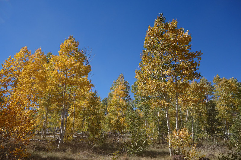
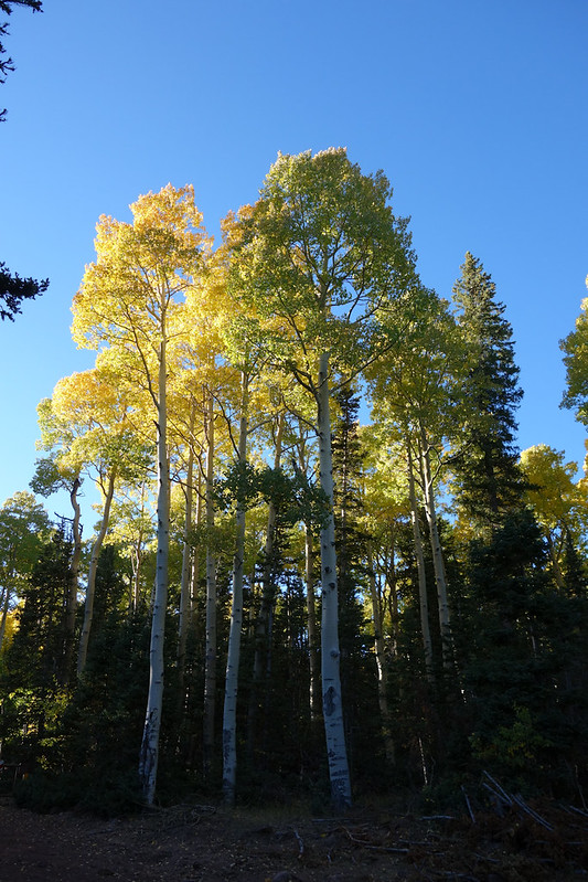
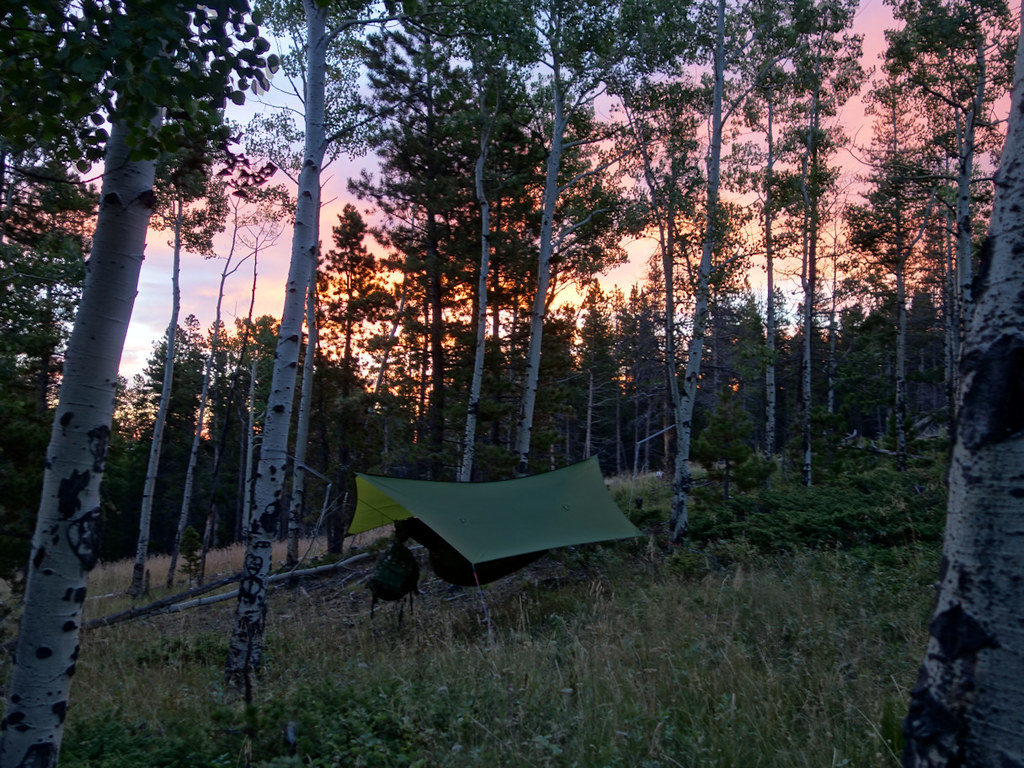
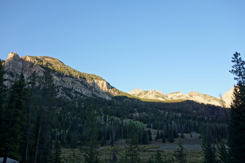
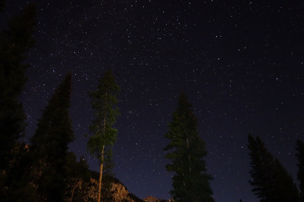
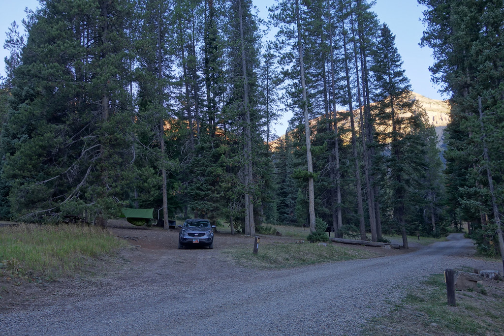
. The folk at Kifaru were great but I must make special mention of Eric who spent the afternoon talking to me about how they design and prototype their packs and giving me some advice on how to improve the DIY day-pack I was using. All on the Friday afternoon before a bank holiday weekend! Just great!!!Friday night I was finally able to find a camping spot, pretty much where Sal had suggested. It was getting dark by the time I set up in a grove of aspens off Squaw Pass Road. I wasn’t disturbed by anything during the night, but just before dawn I heard an elk bugle way in the distance, a sound that really told me like nothing else that I was starting an adventure far from home.
Saturday 3 Sept.
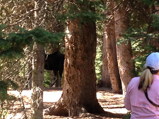
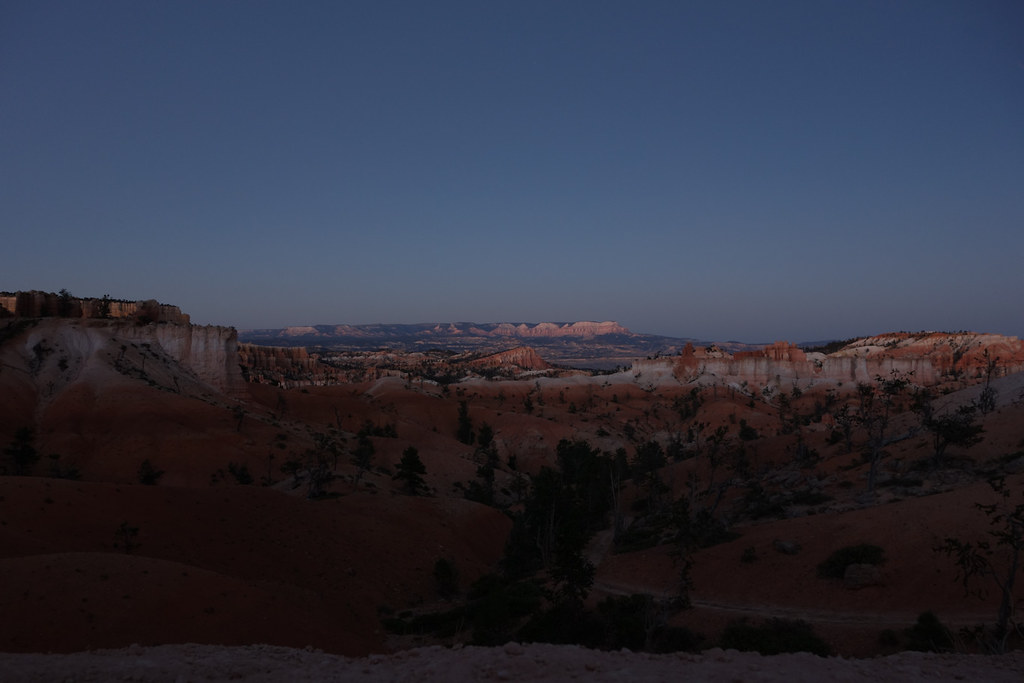
 DSC04869 by Last Scratch, on Flickr
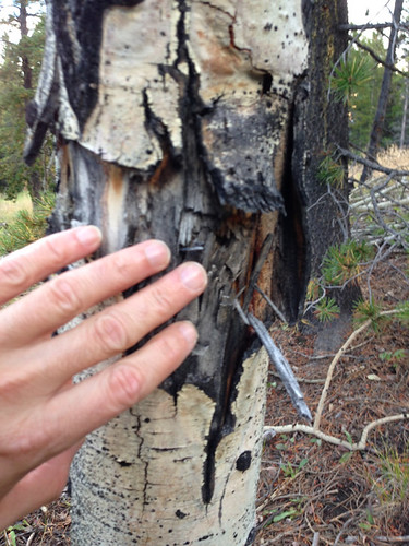
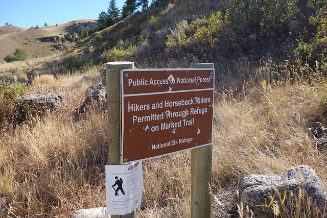
When Saturday dawned I found other signs that I wasn’t at home any more. People don’t shoot big holes in the trees in the UK! Turned out that tree mutilation was pretty common where-ever people often camped in Colorado and Wyoming. It added a certain something when choosing trees to hang from that I had to check them for rotting out bullet holes as well as dead limbs!
 IMG_0794 by Last Scratch, on Flickr
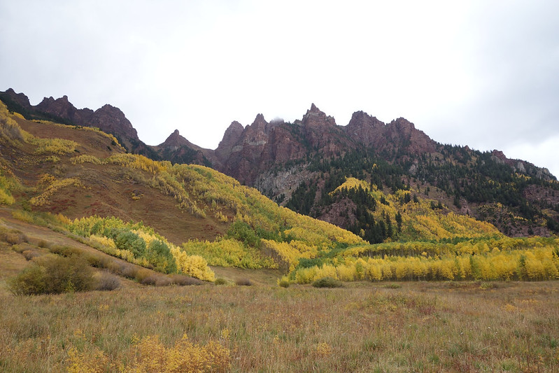
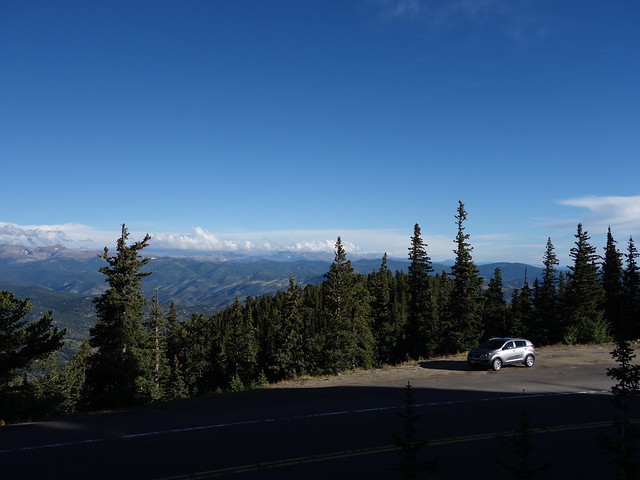
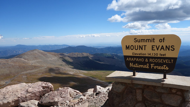
Squaw Pass Road is on the way to Mt Evans, a 14000 peak accessible by road, which I already had on my list of places I wanted to see. Sal told me that there was a chance they might close access soon because of snow risks so I went to see it at the start of the trip instead of the end. The road up to the park is pretty spectacular in its own right. Certainly you need to pay attention with all the tight bends.
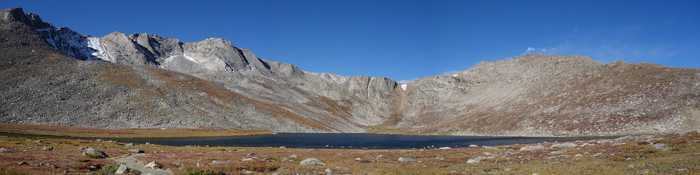
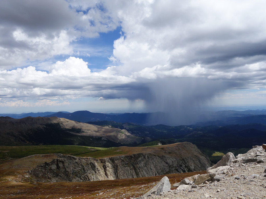
 DSC04882 by Last Scratch, on Flickr
Summit Lake. The place was alive with ravens, saw over 30, plus a couple of marmots and one very active short tailed weasel (aka stoat).
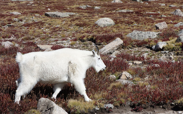
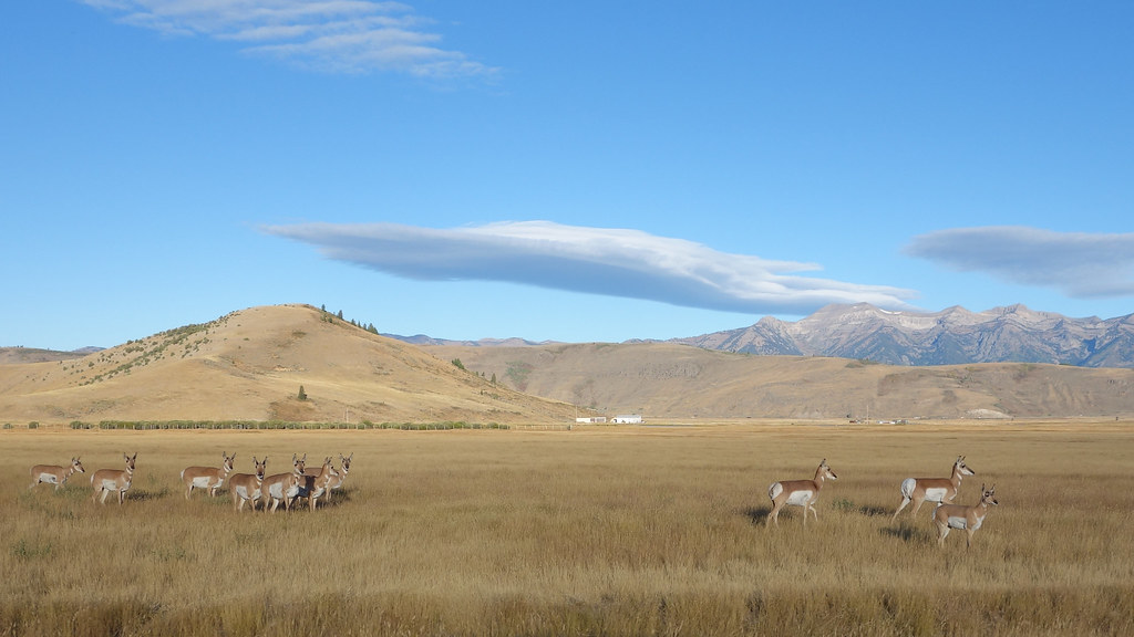
 DSC04889 - pano by Last Scratch, on Flickr
There is a herd of these fellows that make the mountain their home. Totally unconcerned by people, they wandered across the road, up the hill, and across the road again. Not quite as much of a thrill as seeing animals that are wary of people, but still an encounter to remember!
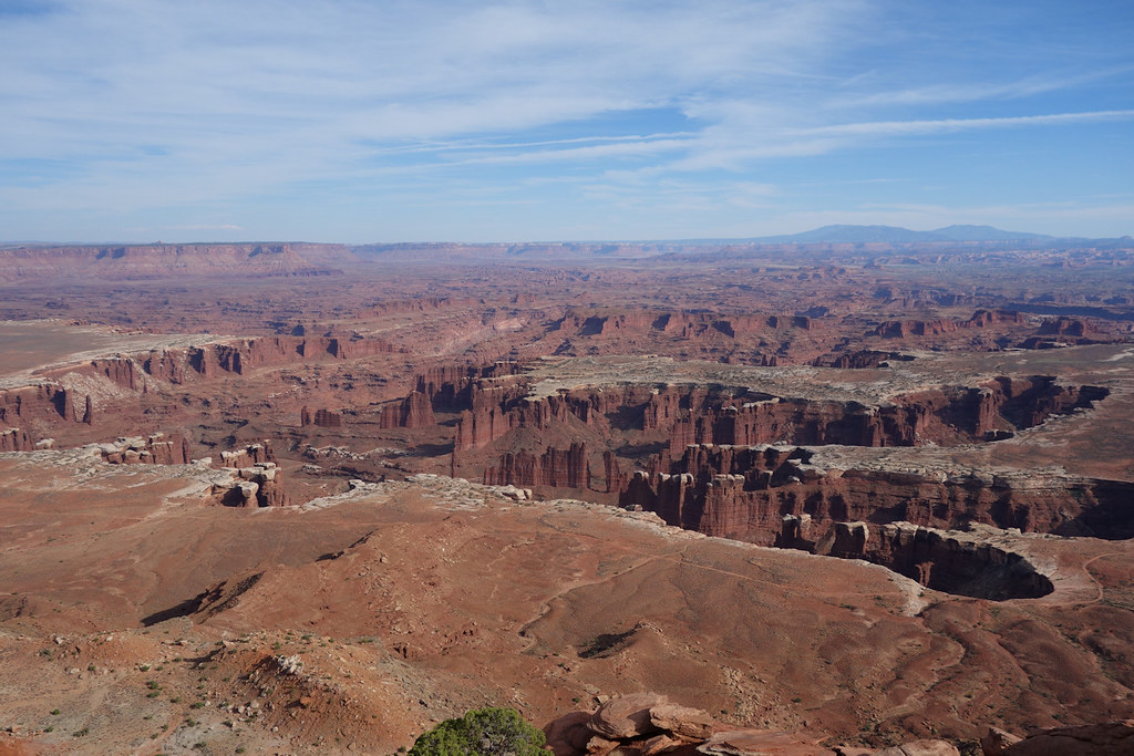
 DSC04969 by Last Scratch, on Flickr
There were no shortage of signs warning about the dangers of altitude sickness and the lack of air was noticeable for someone who had only recently been close to sea level. Spending the night at 9000ft was a good move and probably helped.
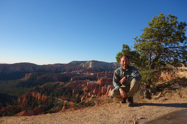
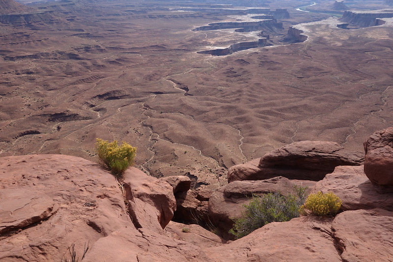
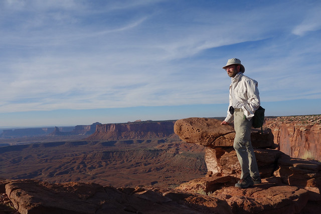
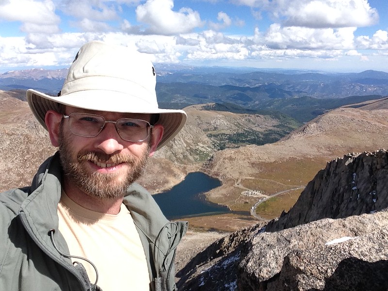
 DSC04984 by Last Scratch, on Flickr
Me with Summit Lake in the background, now looking absurdly small! There was a fantastic lack of guard rails or warnings about not falling off the precipices.
 IMG_0796 by Last Scratch, on Flickr
Before I travelled I found many excellent videos showing the drive up this mountain. Here is my effort.
[video=youtube;BtuZV6CDguI]https://www.youtube.com/watch?v=BtuZV6CDguI[/video]
The way down was every bit as interesting as the way up!
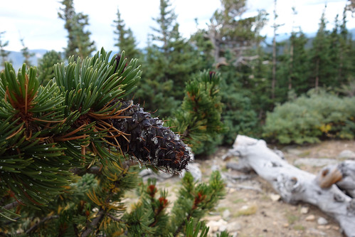
 DSC05008 by Last Scratch, on Flickr
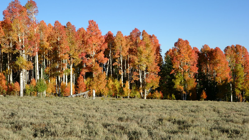
Down at the tree line there is a whole area studded with bristlecone pines, those most ancient of trees. Didn’t see them anywhere else.
 DSC05018 by Last Scratch, on Flickr
 DSC05013 by Last Scratch, on Flickr
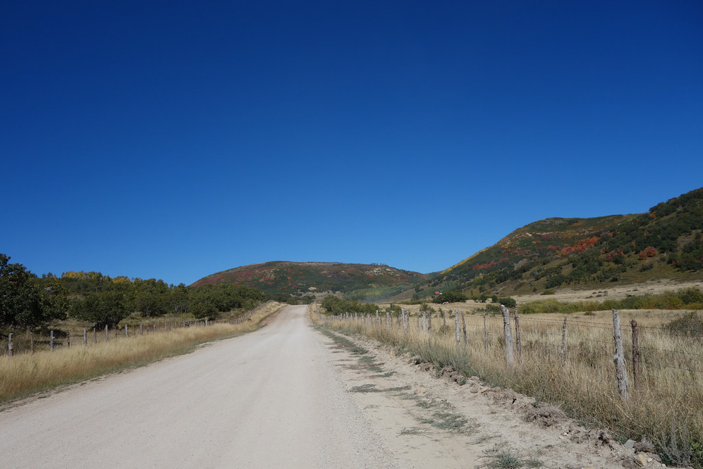
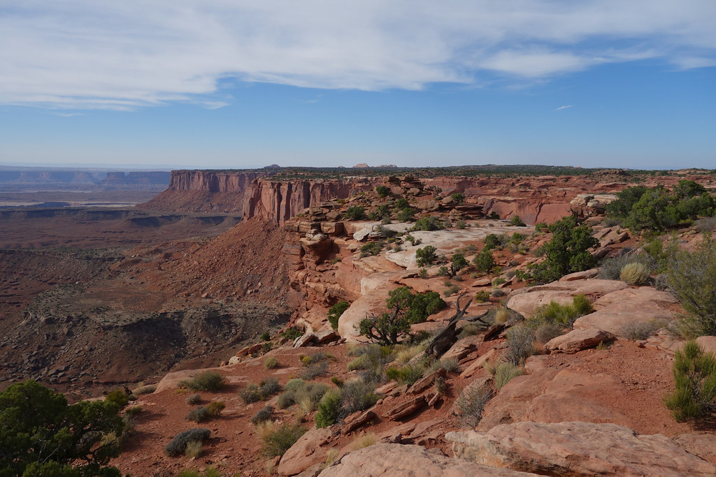
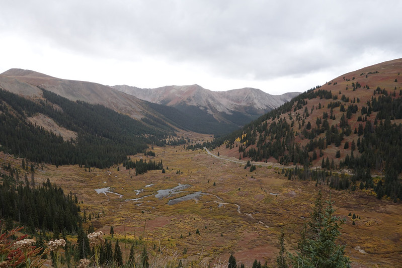
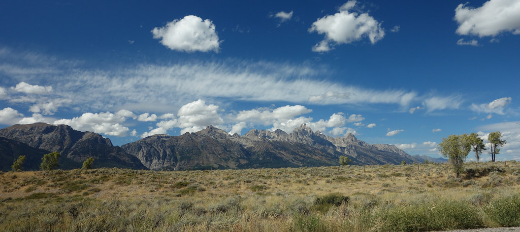
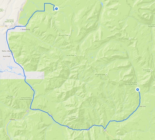
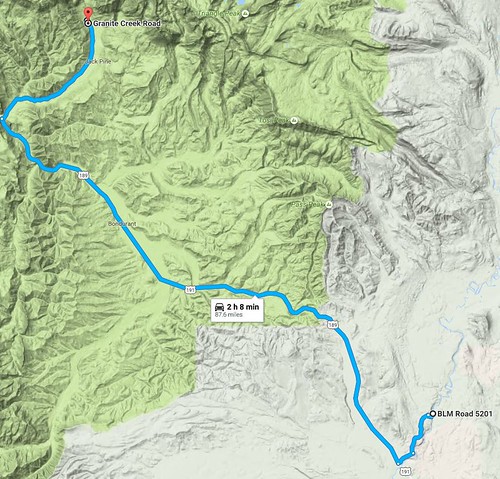
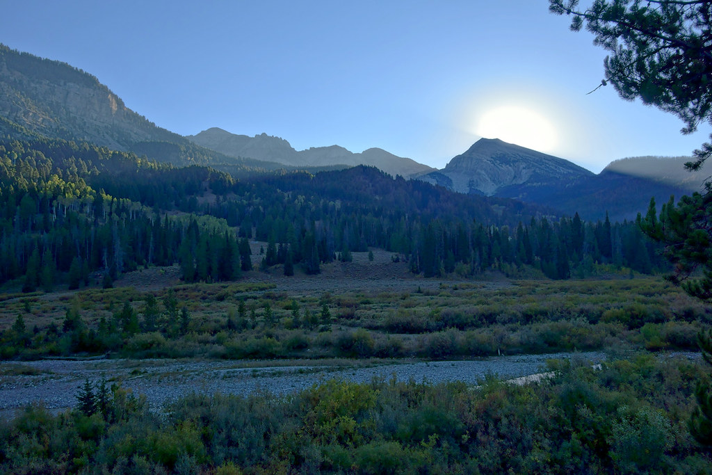
 Squaw to Cottonwood by Last Scratch, on Flickr
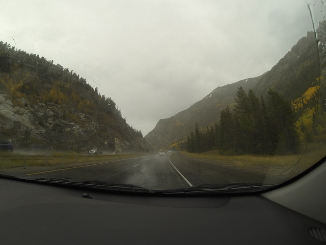
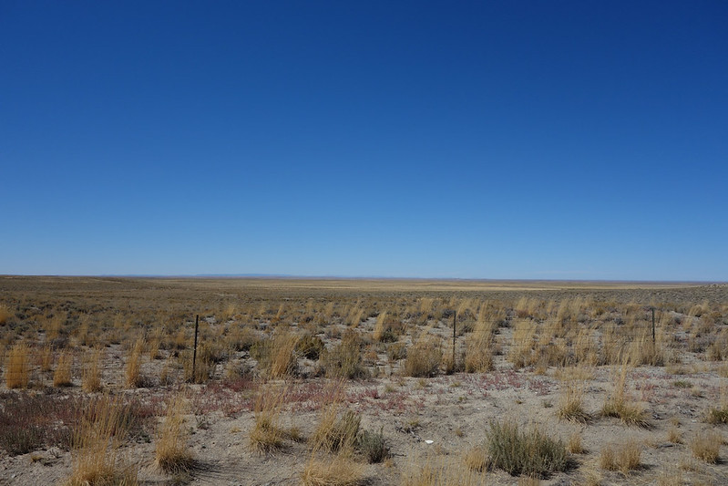
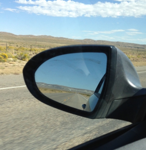
As usual, I was later setting out on my journey than planned, so it wasn’t until about 4pm that I started north out of Denver on Interstate 25. Plan A had been to drive up just past Muddy Gap Wyoming and camp on Green Mountain, Plan B if I couldn’t make it that far was to camp in the Medicine Bow National Forest off of Interstate 80. I was so late that I was going to be setting up in the dark anyway so I pushed on for Green Mountain. Thank goodness for phones with GPS! Never really got used to how US intersections were sign posted and went about eight miles down the wrong road after missing a turn in the dark at 3-Forks Muddy Gap Services. I had the location for the side turning off the highway marked on my phone on a downloaded map so at least I wouldn’t miss that. Anyone interested can find it at 42.463541, -107.585225 on Google Street View. Think there is a bit more of a sign about the camp site, set back off the road now, but there isn’t much in the way of land marks! Got there at about 22:30, it was raining, and the sign stated that the camp was down the track 11 miles! Didn’t look that far on the map….and it was over the worst corrugations I have ever felt!
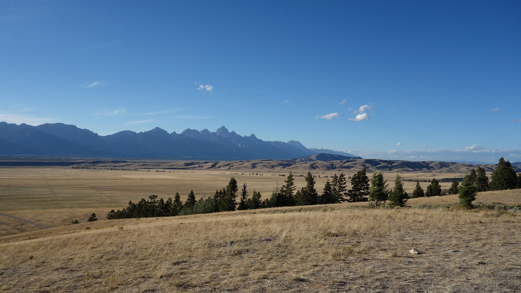
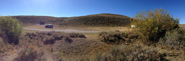
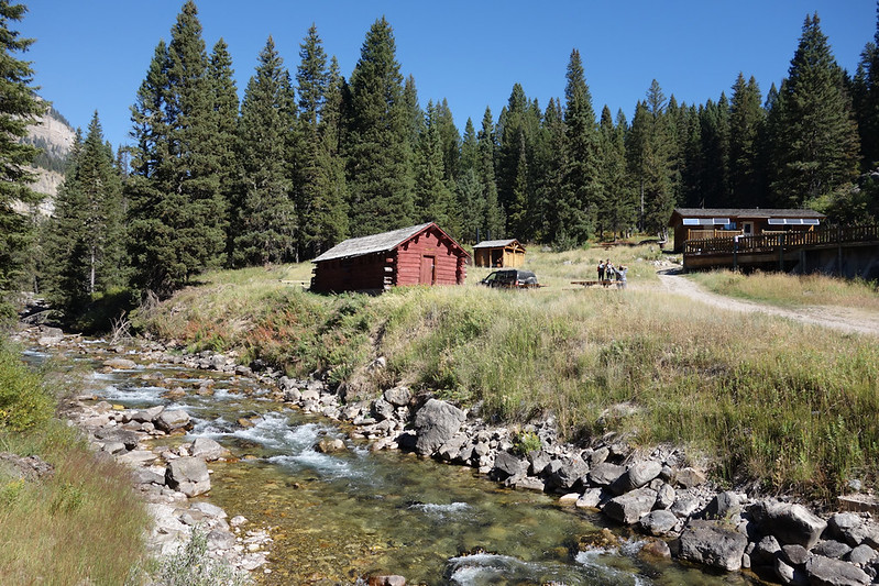
The camp was pretty busy with big trailer rigs, pick ups and people out to do some 4-wheeling over the holiday weekend. That’s why the road was so rough, it gets some heavy traffic. Really nice site otherwise.
Last edited:
 DSC05038
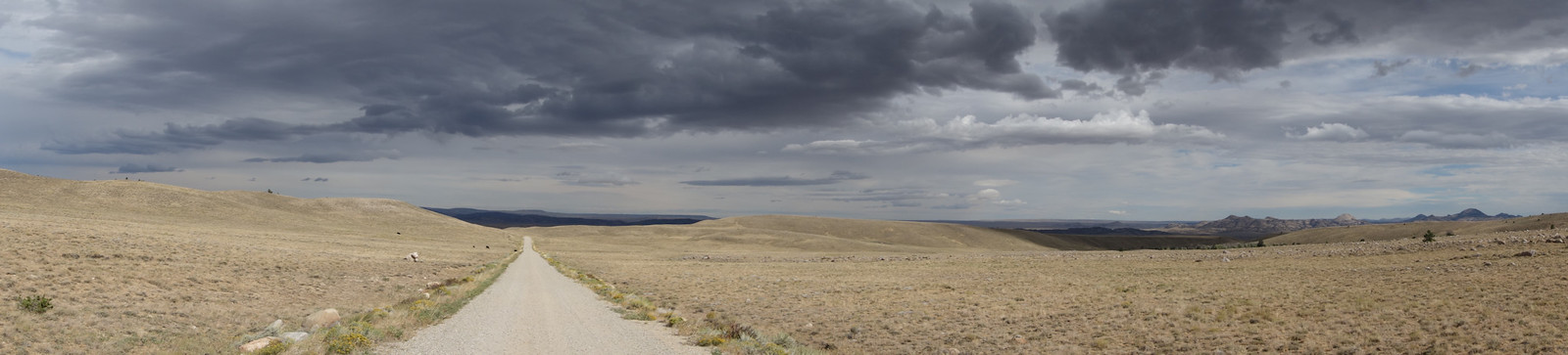 DSC05047
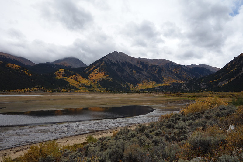
 Cottonwood to LakeCreek
 DSC05068
 DSC05077
 DSC05117
 IMG_0808
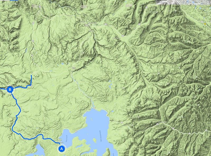
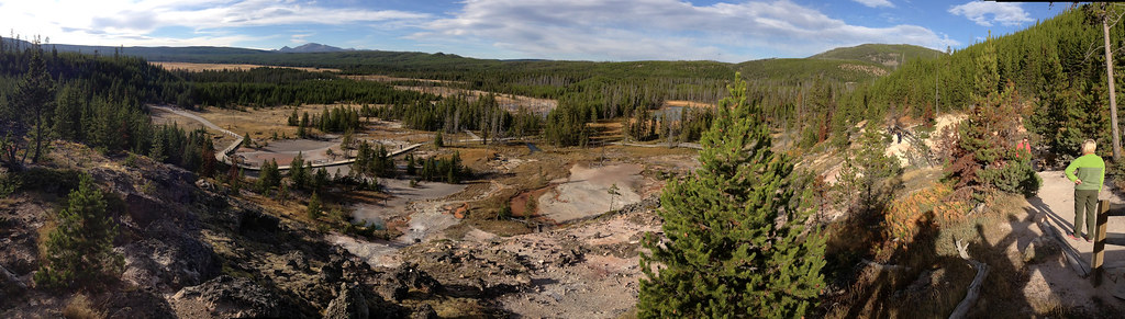
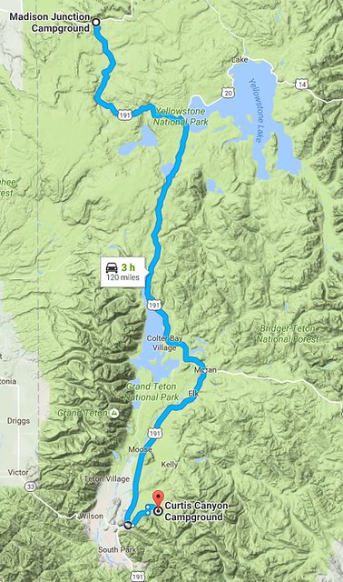
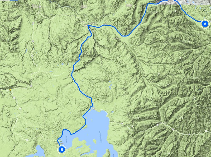 Yellowstone terrain route1
 DSC05123
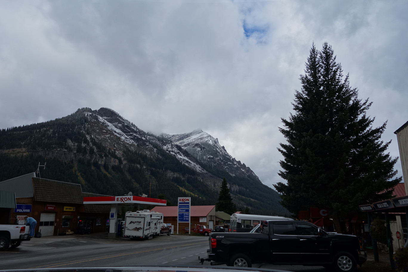 DSC05130
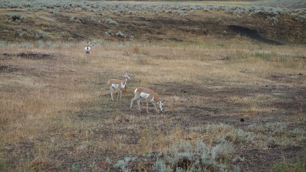 DSC05153
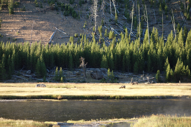
 DSC05210
 DSC05160
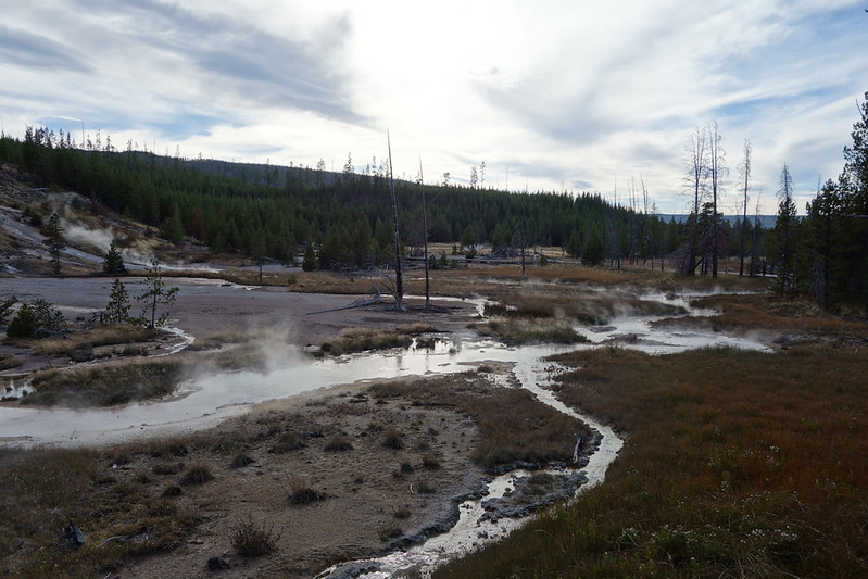
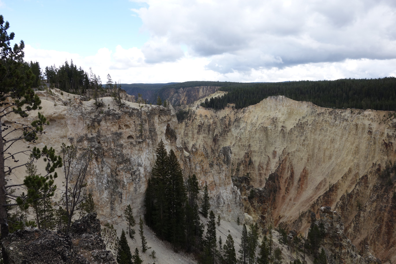 DSC05206
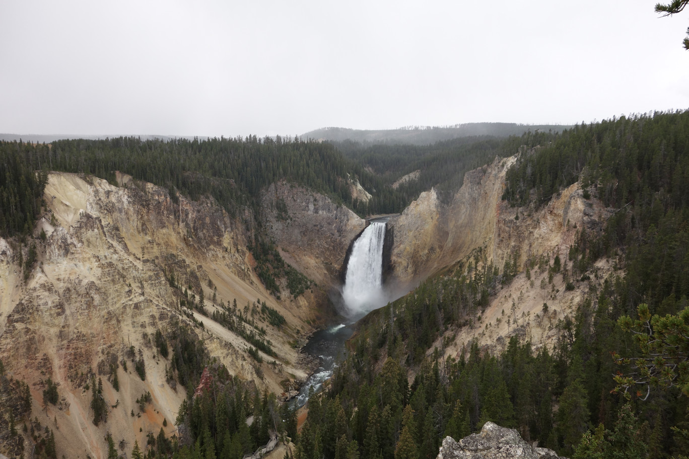 DSC05208
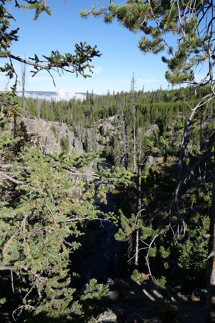
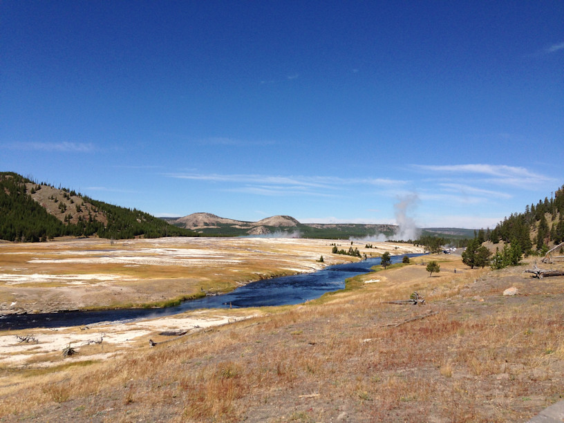
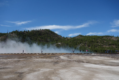
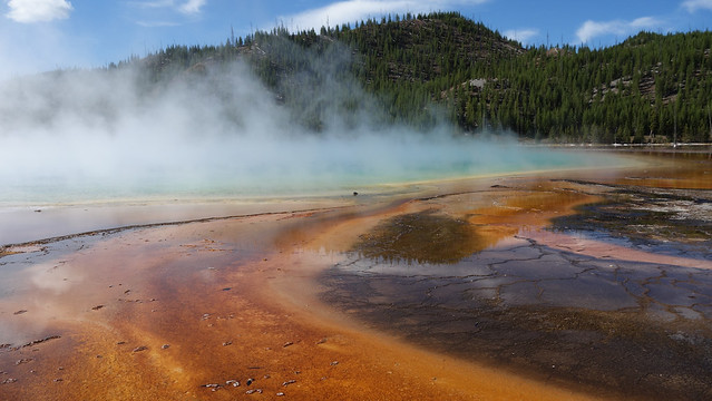
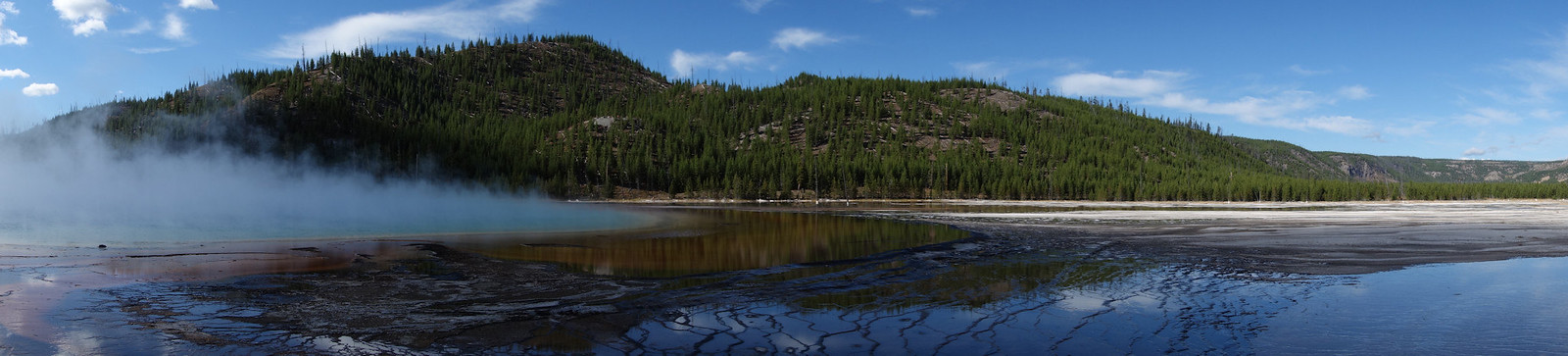
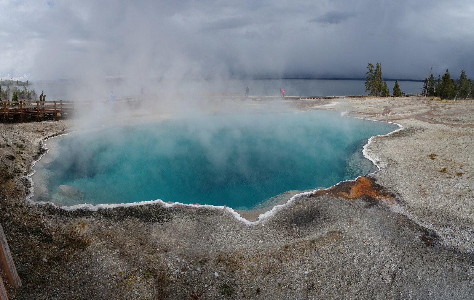 Hotspring1pano
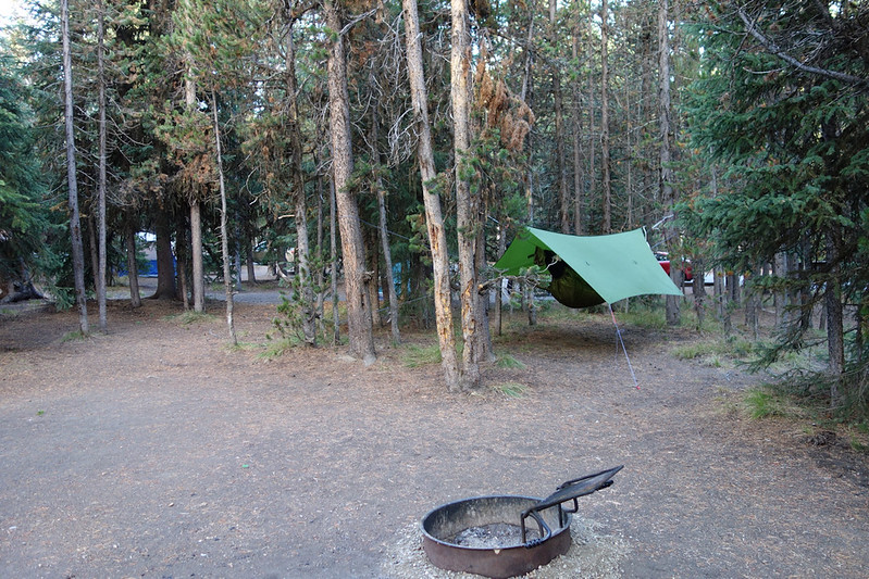
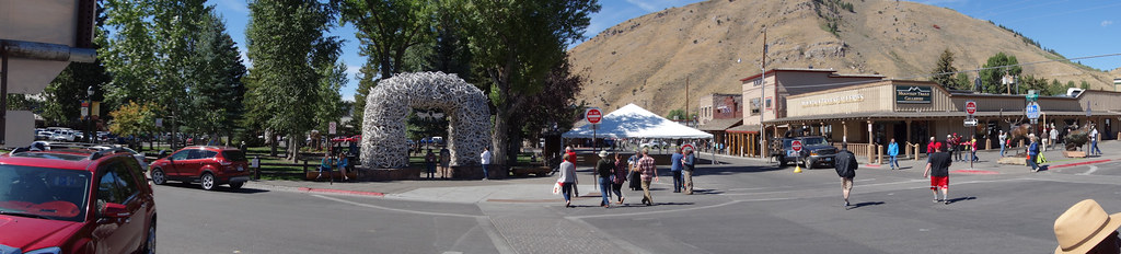
") One store of particular note is New West Knife Works. I had a long browse and chat with the guy there. They make a whole range of kitchen knives from S35VN with G10 handles as well as some hunting knives and hand forged tomahawks. Be sure to look closely at this picture of their store. Clearly the Health And Safety goblin has been banished from Jackson
One store of particular note is New West Knife Works. I had a long browse and chat with the guy there. They make a whole range of kitchen knives from S35VN with G10 handles as well as some hunting knives and hand forged tomahawks. Be sure to look closely at this picture of their store. Clearly the Health And Safety goblin has been banished from Jackson 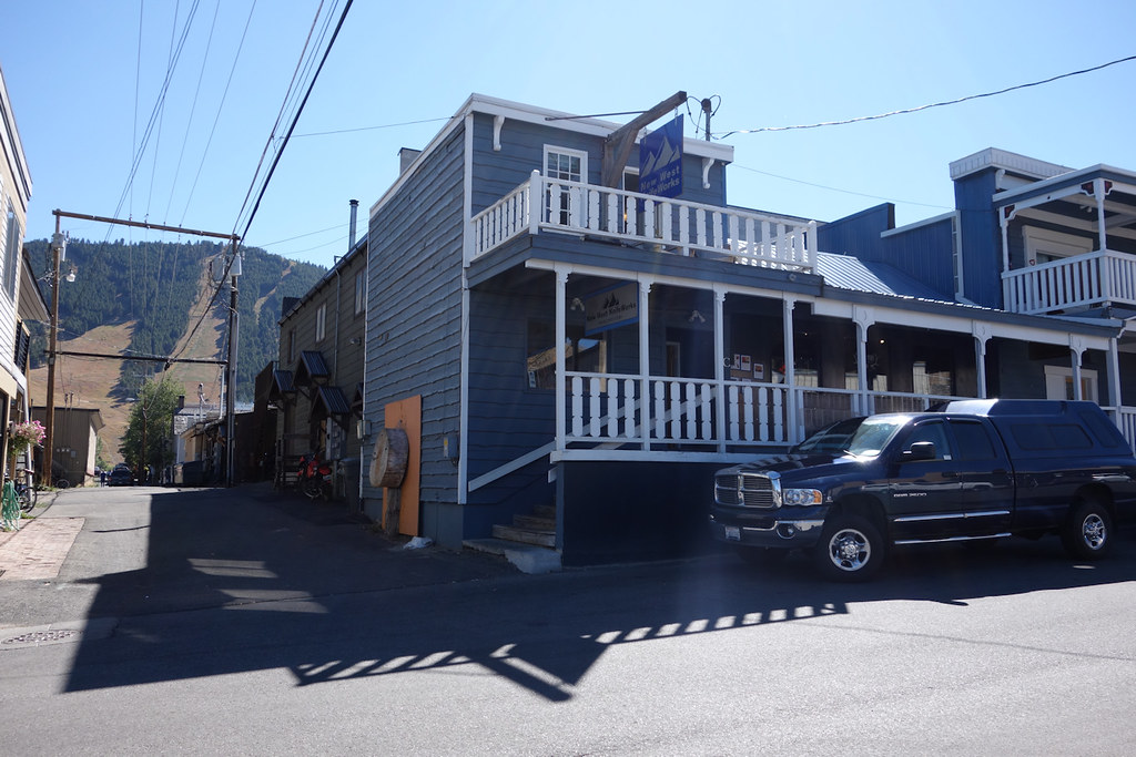


")