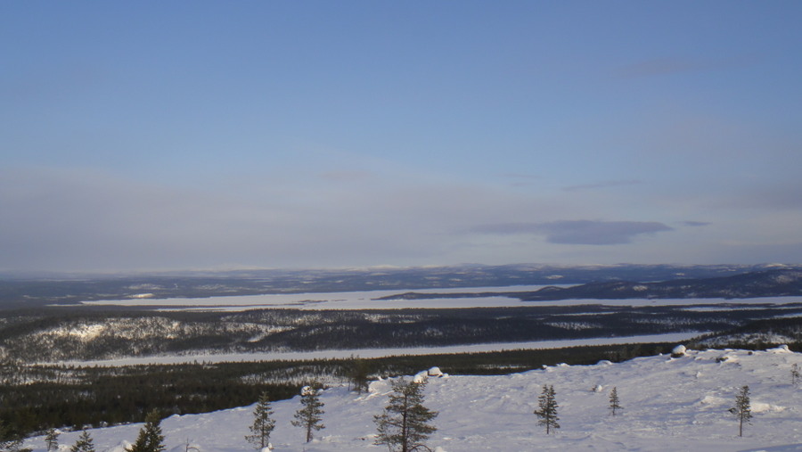
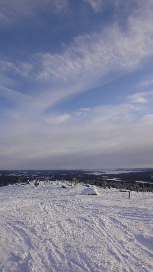
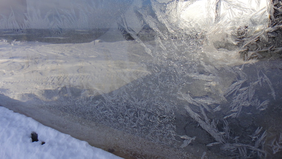
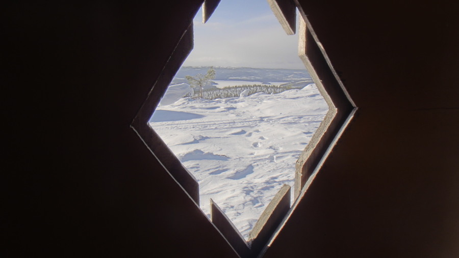
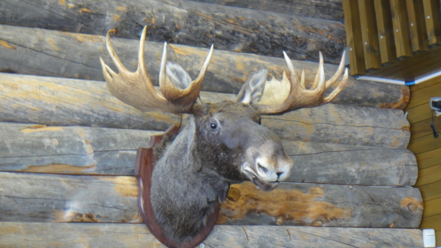
Inari, Finland 2013. Solo recce trip report. Bob goes to Lapland.

Imagedude

Bushcrafter (boy, I've got a lot to say!)
Feb 24, 2011
2,005
46
Gwynedd
Catchy title eh! Blunt and to the point, much like the Finns themselves. In March 2013 as some of you may know, I attended an advanced survival course in the Dividal area of Norway. This gave me a taste for life north of the Arctic Circle, an experience I wished to repeat in the winter of 2013. There was the option of the trip to Jokkmokk but this idea didn't float my boat though I may have missed a trick there; I've been impressed by all of the trip reports. Anyway what's done is done and I decided I'd go as far north in Finland as was practicable. Why Finland? Well, because erm, just because really. Why not? It just took my fancy.
The Finnish have an excellent website dedicated to their natural attractions and it was on this website that I chanced upon a section dedicated to the Inari Hiking Area. Inari is about 40km north of Ivalo airport to which there are about 3 flights per day via Helsinki. Getting to Ivalo was the easy part, getting up to Inari was not quite so easy to plan via the Internet. Rather than try to decipher Finnish bus timetables I decided to walk/ski instead, after all it's only 40km. I ordered 1/50,000 maps from Karttakeskus and while I waited for them to arrive I planned my route on Google Earth. Job done. Imagine my surprise when the maps arrived a week before departure and I discovered that the forest track that I saw on Google Maps that I had planned to ski along was infact the route of electric pylons. In my defence they looked like a forest track on Google. My next plan was to arrive in Ivalo, camp in a hedge overnight and figure something out in the morning. This plan worked perfectly, apart from the 8 hour gap between flights at Helsinki and accidentally listening to a few seconds of jazz at a bar at the airport. One thing to note about the khazis in Finland is that they use towel hand driers rather than blowers, I amused a number of foreign jonnies by waving my hands around under the drier trying to get it to blow! And thanks to Martti for the offer of a tour of Helsinki between flights, I'll take you up on that one day. After an uneventful flight I walked about 6km from the airport to a place called Ivalo River Camping.

The road from the airport
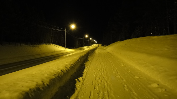
DSC02047.JPG


This is a truckstop/campsite which, though closed for the winter, let me camp in the carpark for €5 (a price that included all the coffee I could drink). I had trouble convincing them that I wanted to camp, they didn't take me seriously initially!

Tent set up in the car park/children's play area.
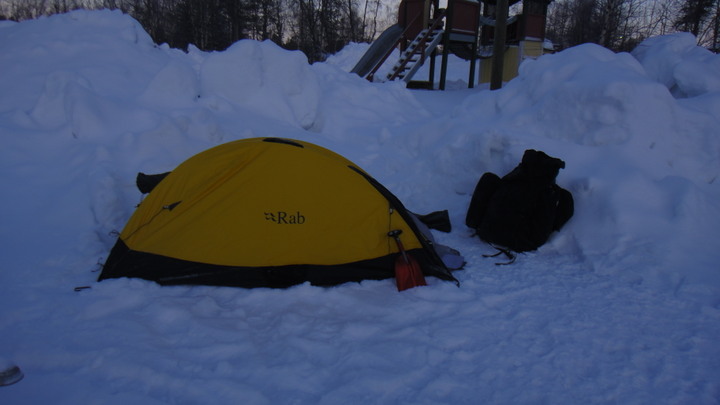
DSC02048.JPG


After pitching my tent and watching the best display of the Northern Lights that I've seen to date I returned to the reception area which also serves as a local bar. It was this display of the lights that gave me the motivation to struggle along with a 28kg pack plus skiis and poles at 10PM after a 20 hour long journey! Anywho I had a few jars with a local guy called Sami who seemed to be a bit concerned about my welfare. In the unlikely event that you ever read this Sami - the 'Mad, Baldy Englishman' got away relatively unscathed, didn't even see a bear let alone have to fight one off! Mad, baldy Englishman, damn, there was the basis of my catchy title right there!
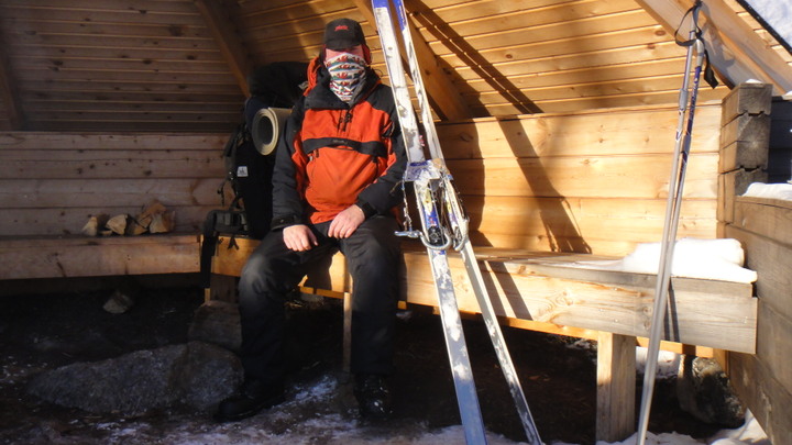
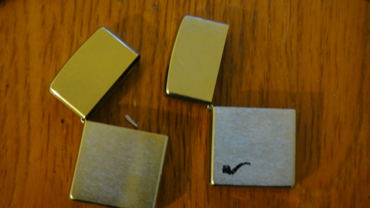
The bar shut at 2am and I retired to my tent. I woke at 5am to find that my sleeping bag was inside out with my bivi bag on the inside. I had placed my sleeping bag in a Rab Survival Lite bivi but Customs had rifled my bag to confiscate a few of my lighters and not re-folded my gear correctly. I take small comfort in the fact that my lighters were stored in my pi55 bottle, hope you washed your hands boys! Regardless of their rearrangement of my kit, I was fairly warm.

Customs confiscation notice
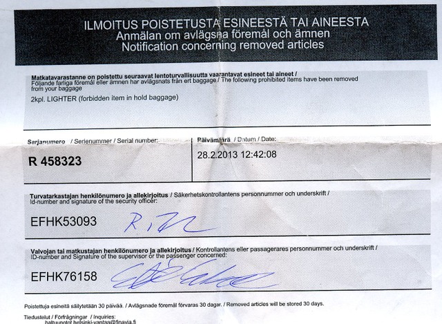
customs%20lighter002.jpg


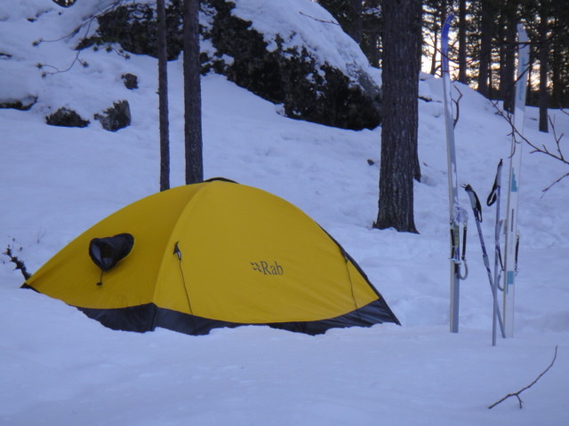
I crawled out of my frosty tent at 8am and noted that the temperature was about -25C, was this a sign of things to come? At least I had clear skies. The temperature inside the tent was about -20C, the locals said that it was -28C outside overnight. The tent is a Rab Latok Ultra single skinned bivi made from Event fabric. The condensation inside was horrific, I once tapped the side of the tent with my head and it started to snow inside as the frozen condensation was disturbed!

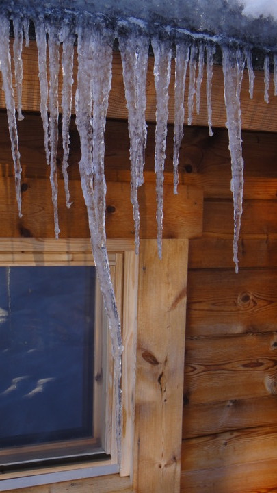
Condensation stalagtite in tent
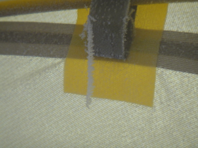
DSC02303.JPG


Thermometer showing -20C (honest)

temp%2020%20below.jpg


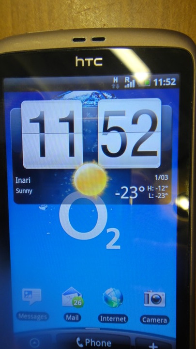
Weather report via smartphone
DSC020551.JPG


I broke camp and nipped into the truckstop for coffee and donuts. The staff also supplied me with hot water for my flask. After my sweet and sugary breakfast I carried on up the road on the last 3 or 4 km into Ivalo.

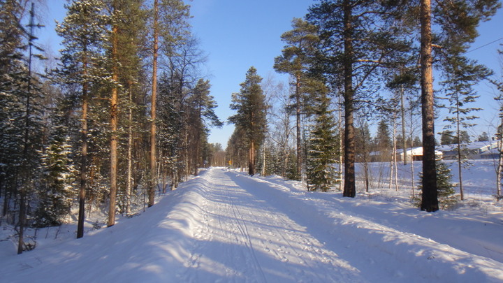
Footpath in daylight
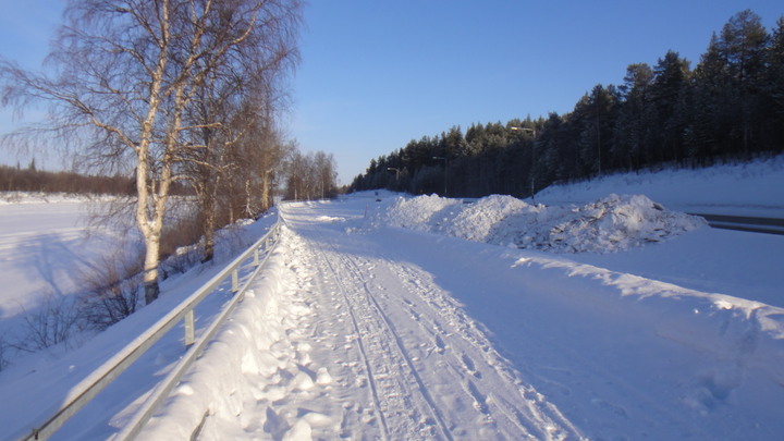
DSC02051.JPG


The frozen river and its snowmobile track
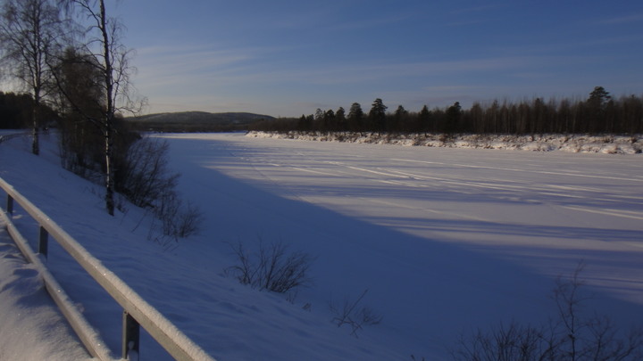
DSC02050.JPG


The path went on and on...
DSC02053.JPG


My first destination in Ivalo was the tourist information office, here I got a list of busses up to Inari and information about the ice quality on lake Inari. I had planned to ski on the lake up to Inari but I was told that there was water on the ice on the south of the lake but that the conditions were good in the north (remember that the lake is 40km x 80km). Before gtting the bus at 1PM I had time to visit a local supermarket. I asked a shop assistant if they sold fuel for a spirit stove, she said she didn't speak much English so she found a friend who did. This friend didn't know what fuel to use so she phoned a friend who said that I needed Marinol. Top marks for customer service. The supermarket also had a post office where I performed my post card sending duties and a little cafe where coffee and reindeer quiche was consumed. The quiche contained onion and while I like onion, onion doesn't like me. It gives my exhaust a burnt, caramalised onion taint. As I was later to find out my dried Mountain House food also contained onion - I stank. I did not like my own brew that week!

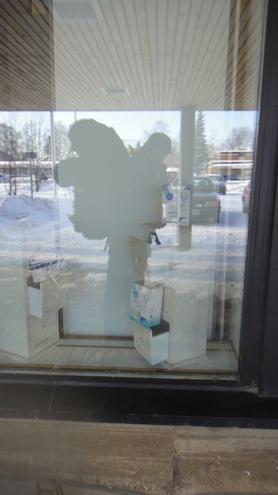
Here's my reflection in a window, me and my monster pack.
DSC020541.JPG


So after buying fuel (€4 per litre) and troughing at the cafe I strolled up to the bus depot which is a gravel patch in the north of the town. I turned my spot tracker on and surprisingly, it worked through the glass window of the bus (€8.20 single from Ivalo to Inari)

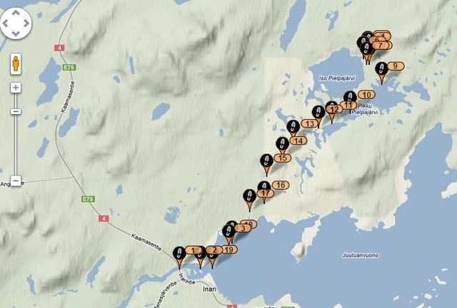
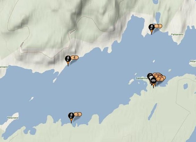
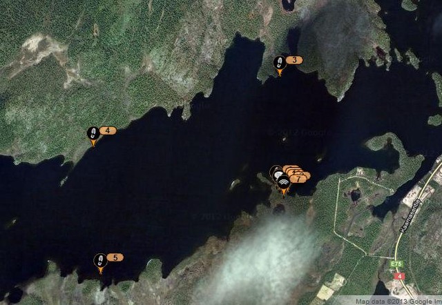
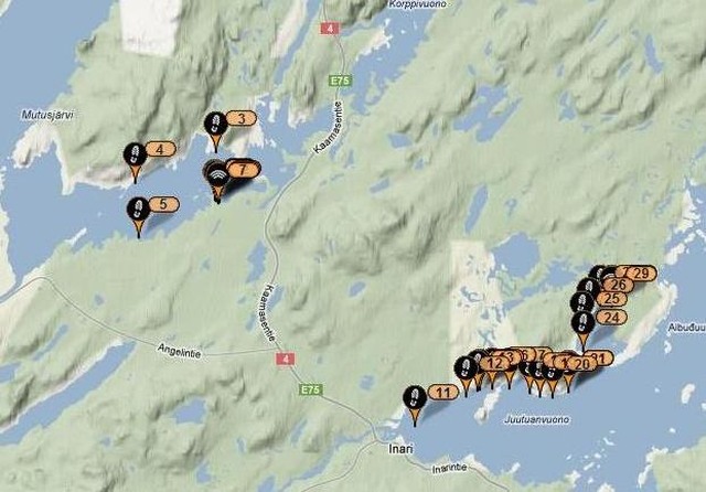
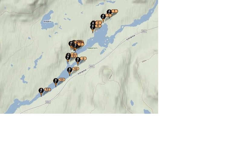
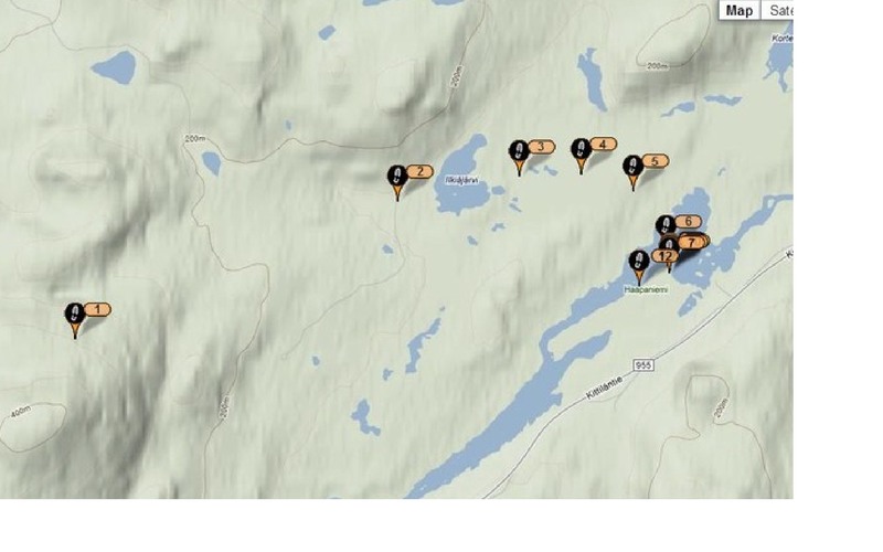
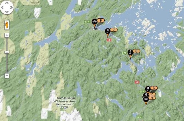
Tracker details for my first day.(1 - 9 = 40km)
1%20march_1.jpg


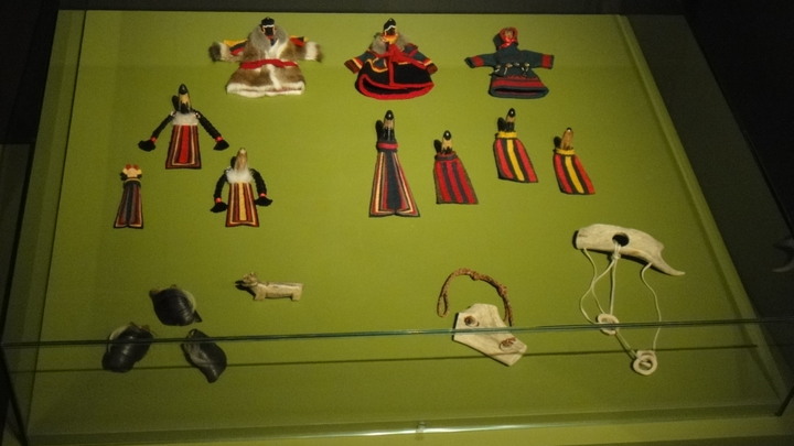
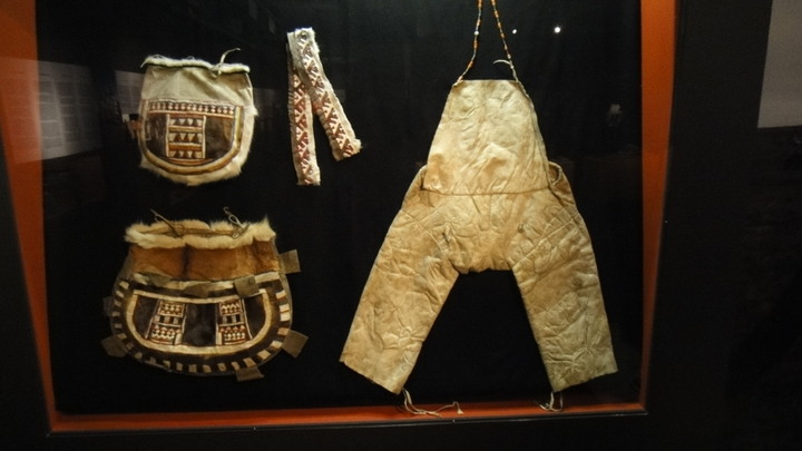
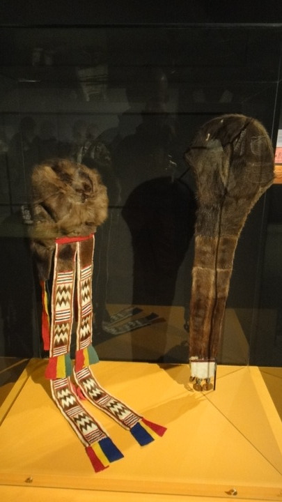
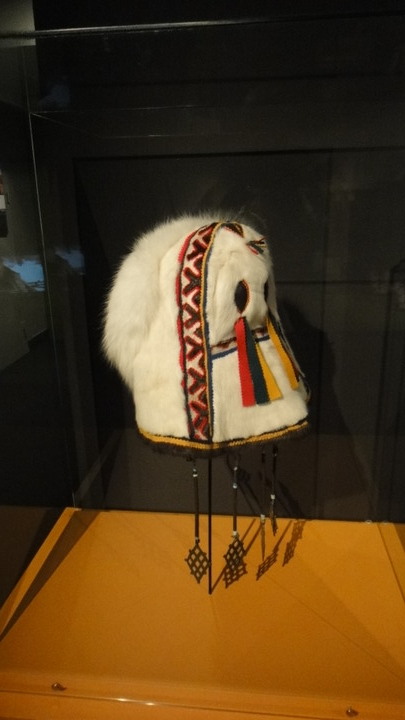
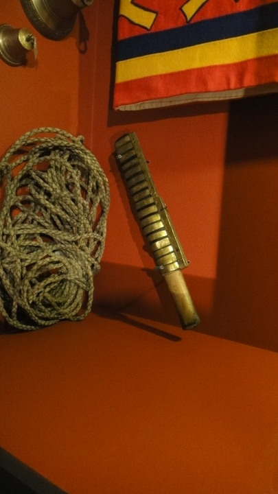
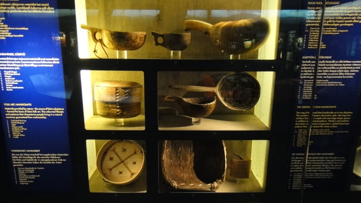
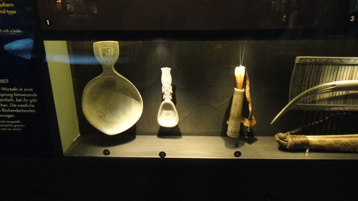
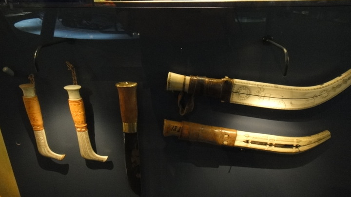
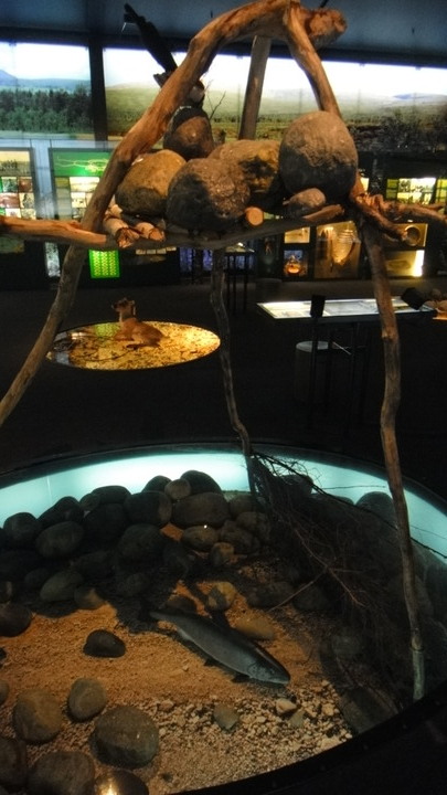
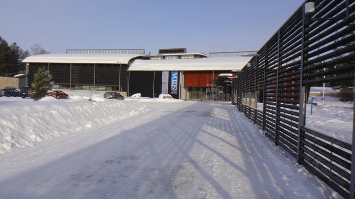
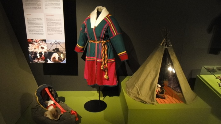
The tracker shows my bus trip plus me walking to the local museum of Sami life - Siida. Siida is also the local tourist info office and I spent the rest of the afternoon there looking at the exhibits plus getting details of local B&Bs.

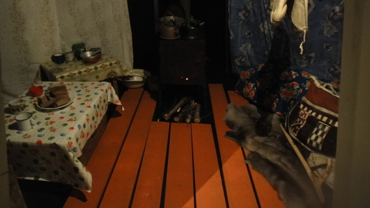
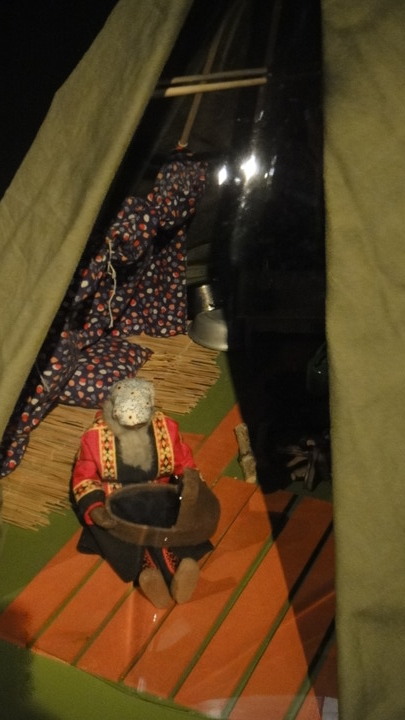
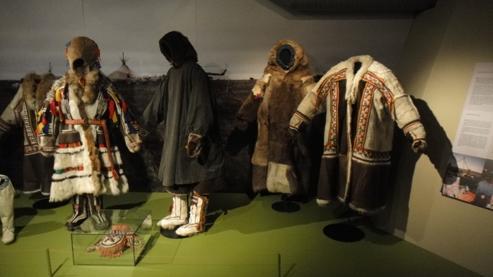
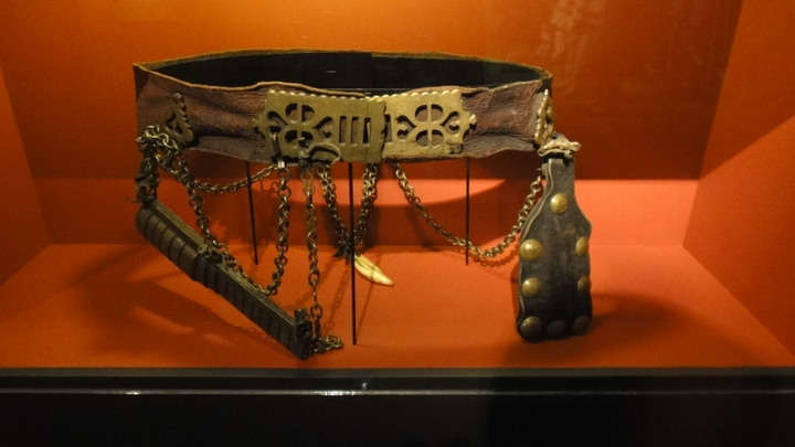
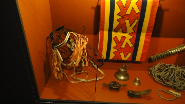
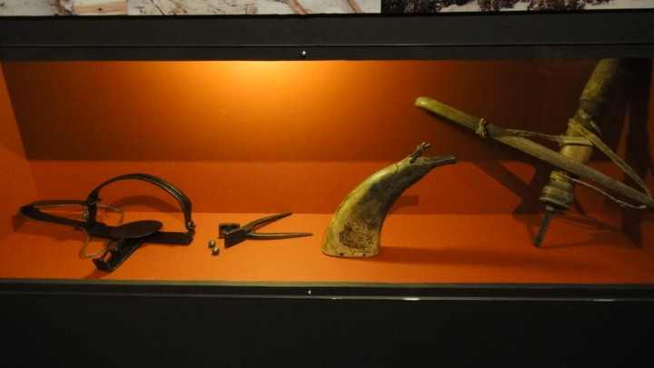
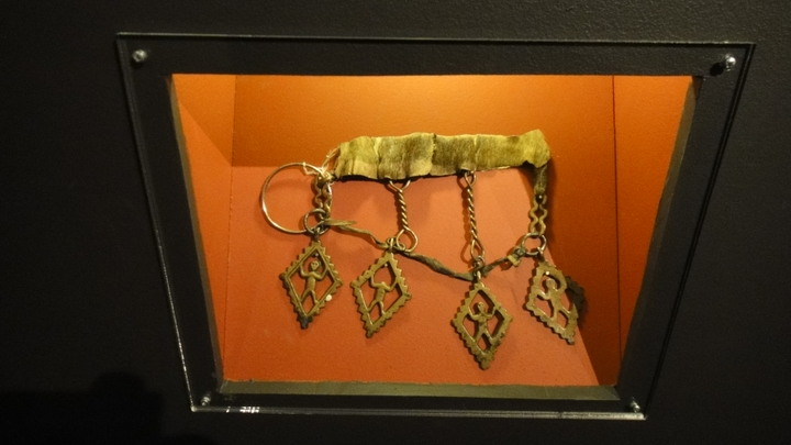
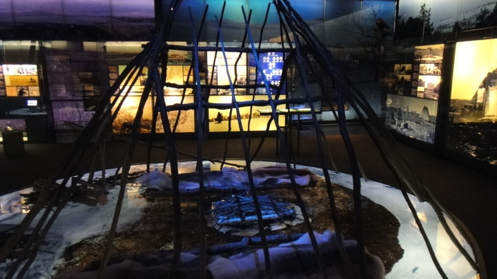
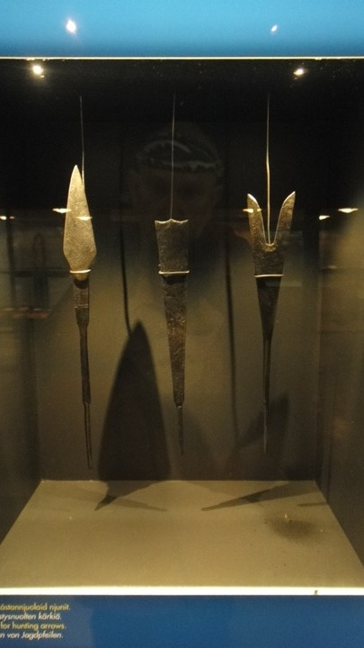
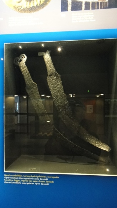
Here's a few pictures from the museum...I particularly like the fish trap

Museum pictures
DSC02058.JPG


DSC02057.JPG


DSC02059.JPG


DSC020601.JPG


DSC02061.JPG


DSC02062.JPG


DSC02063.JPG


DSC020641.JPG


DSC020671.JPG


DSC020681.JPG


DSC02069.JPG


DSC02070.JPG


DSC02071.JPG


DSC02073.JPG


DSC02076.JPG


DSC02077.JPG


DSC02078.JPG


DSC020811.JPG


DSC020821.JPG


DSC020831.JPG


After my museum visit I decided that I wasn't going to look for a suitable bivi site but wold try to find a local B&B. Opposite the main hotel is a quirky B&B called Villa Lanca, a family owned business that also provide husky and Fjell pony rides. I booked myself in and once inside, repacked my rucksack to make it more suitable for day trips. It now weighed a manageable 18kg or 40lb. I always carried enough gear for an inpromptu emergency camp.
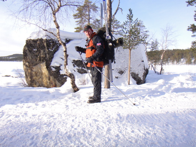
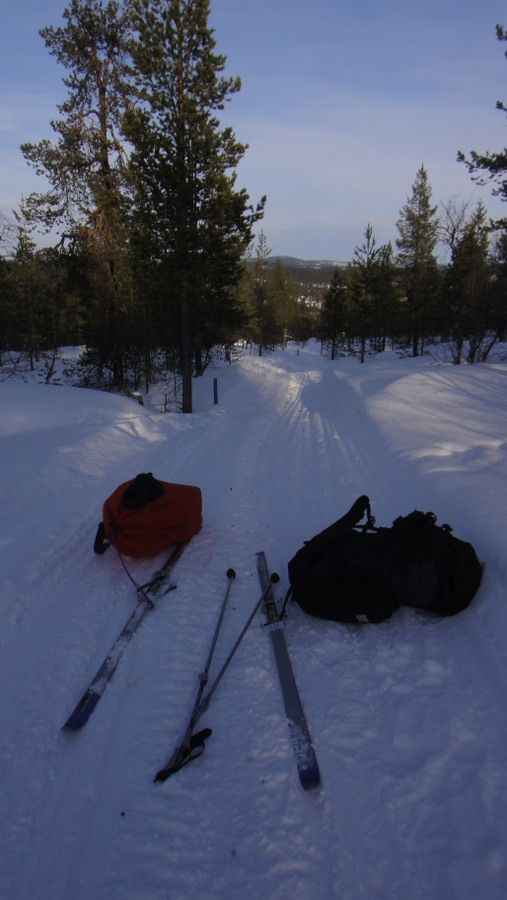
After a continental breakfast the next day I set out to try skiing with a large pack, something I'd not done before!
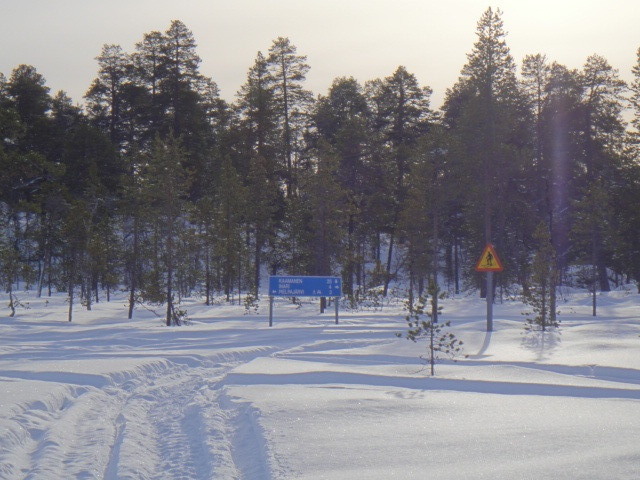
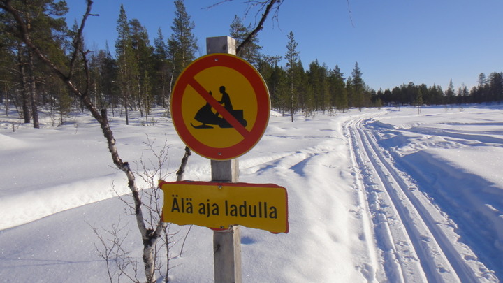
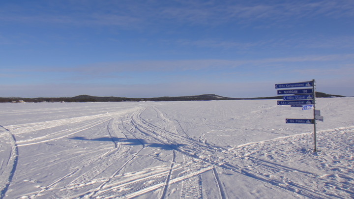
Skiing on the lake I found a road sign, most unusual by UK standards but quite necessary here.

Sign on the lake
DSC02084.JPG


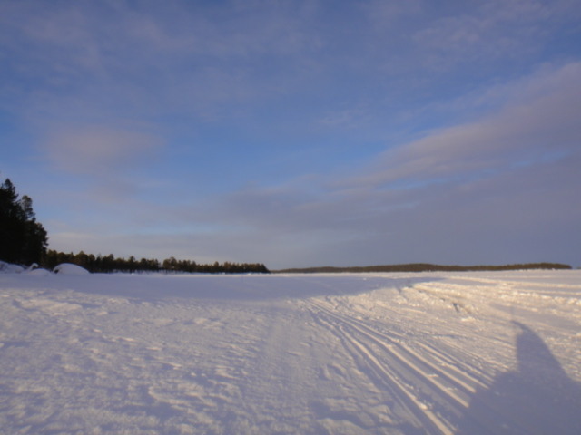
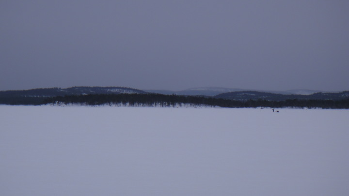
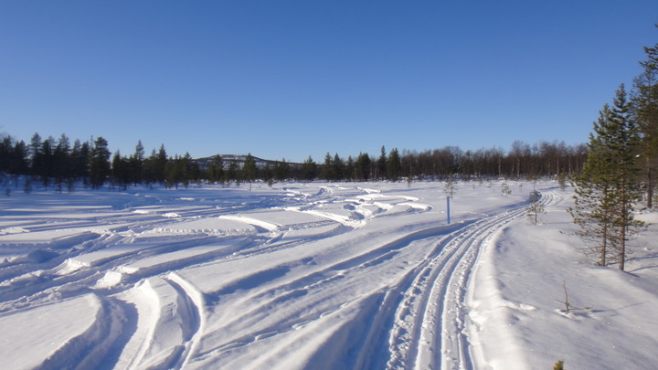
Nothing to see here but snow and trees
DSC02087.JPG


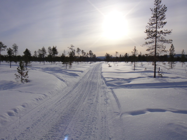
I quickly discovered that if I left the prepared ski track or the snowmobile route that I'd be up to my waist in powder snow, I now know why the skiis outside the local hotel were 2.4 metres long and 75mm wide. Mine were 2.05 metres x 60mm.
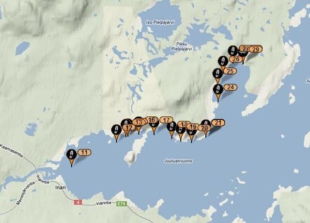
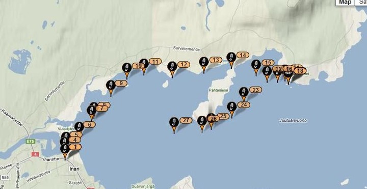
I skied out to a local peninsular which I circled, some of the tracking data was lost during the return journey as the transmitter turned in my pocket and was no longer facing the sky.

Spot2 data
2%20march_1.jpg


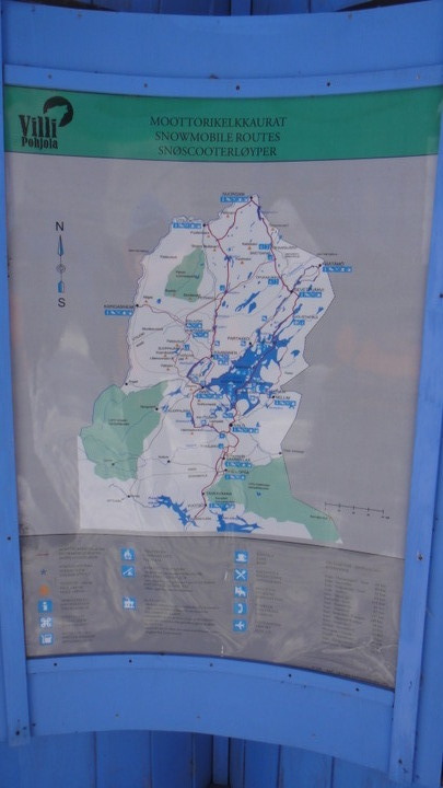
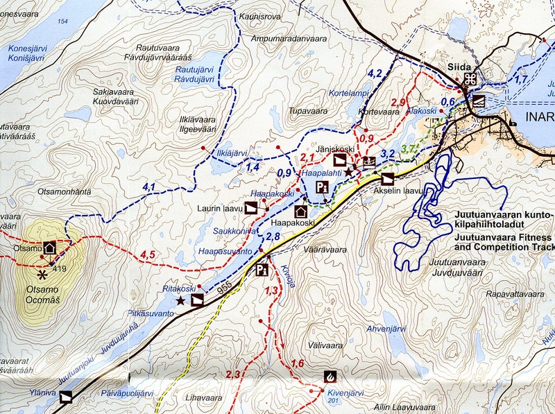
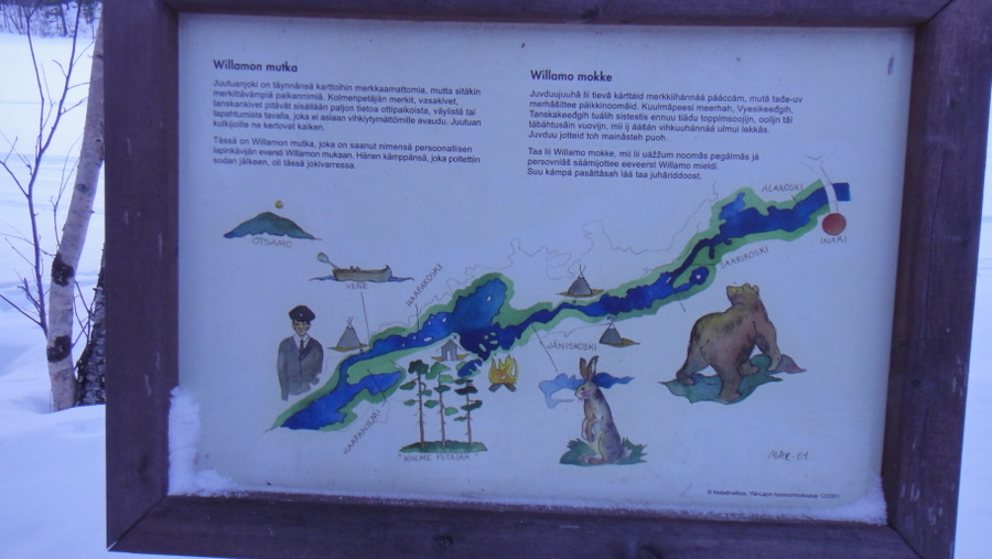
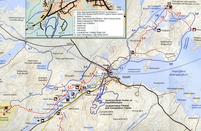
The museum sell a map of the local trails which proved to be my main navigation aid, this map was also reproduced at many sign posts.

Route map
routemap001.jpg


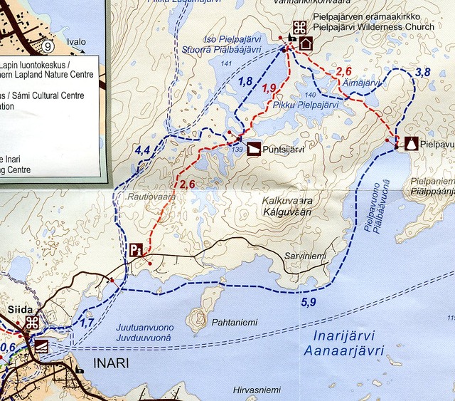
My trip took me around the penninsula of Pahtaniemi
Hiking%20map%20east003.jpg


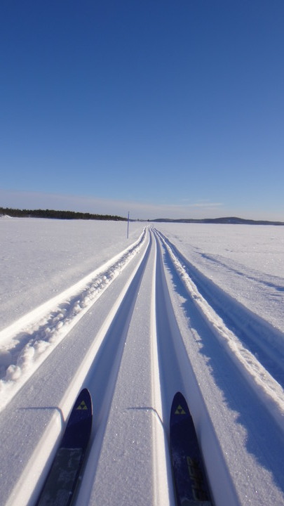
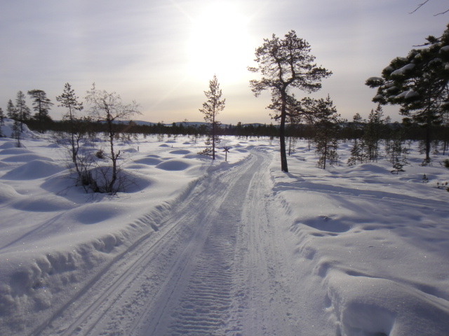
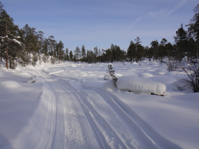
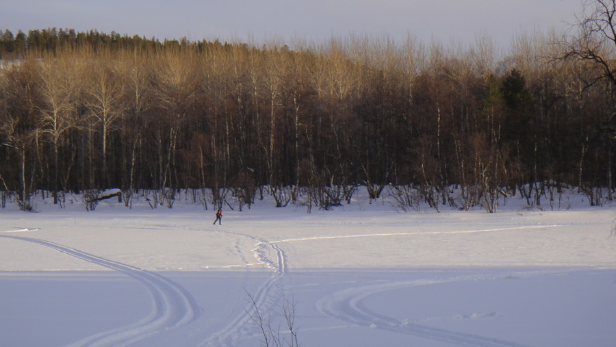
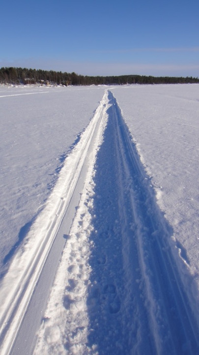
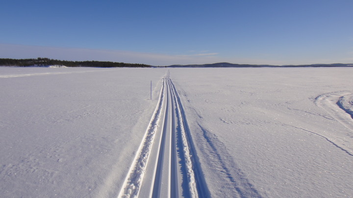
I used a combination of snowmobile tracks or prepared ski tracks known by nordic skiers as loipe. The alternative was knee - waist deep powder snow.

Snowmobile track
DSC020891.JPG


Loipe (skiing track) Excuse the wonky horizon!
DSC02094.JPG

DSC020931.JPG


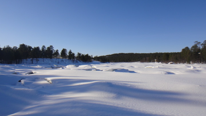
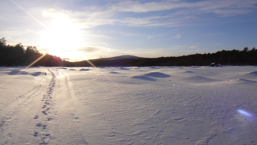
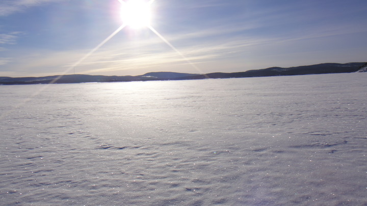
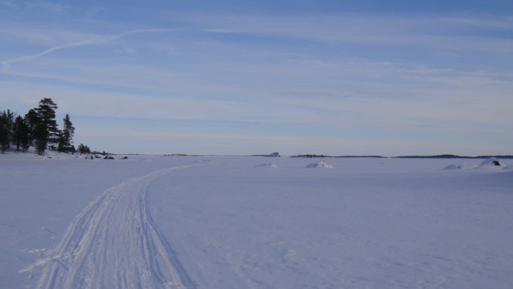
It is worth mentioning that the surface of the lake is not at all flat, there are many ridges where the covering snow has blown and formed snowdrifts.

A typical view
DSC02095.JPG


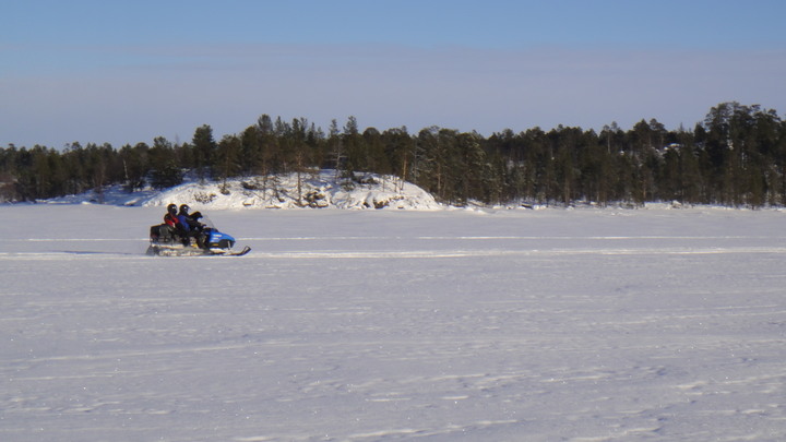
The lake is used by a local company(ies) for snowmobile trips, there was often an annoying smell of 2-stroke petrol which tended to linger as there were still-air conditions for the duration of my trip.

Snowmobile
DSC02096.JPG


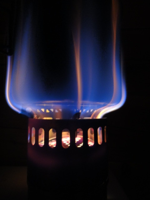
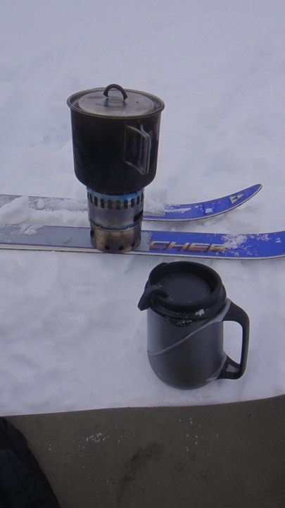
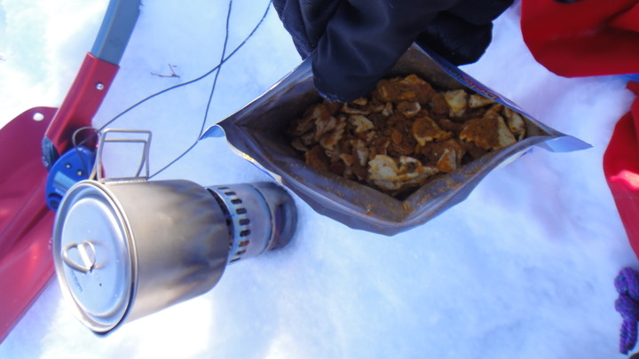
I cooked my lunch on the lake, it was pasta with lasagne sauce. Stove is an Evernew spirit stove with 800ml pot, my only cookware.

Lunch on the lake
DSC02097.JPG


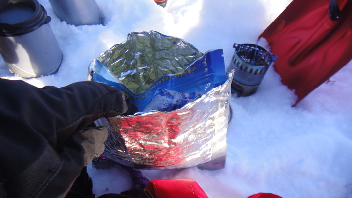
The dried 'cook-in-the-bag' meals which I used throughout the trip required @550ml of boiling water and an 8 minute soak time. To reduce heat loss during the 8 mins I insulated the meals with a bubblewrap foil pouch. This worked well even in temperatures of -25C. The drinking vessel is an insulated 360ml thermos cup by Aladdin, brilliant piece of kit. I like the sippy lid.

Insulation pouch
DSC02098.JPG


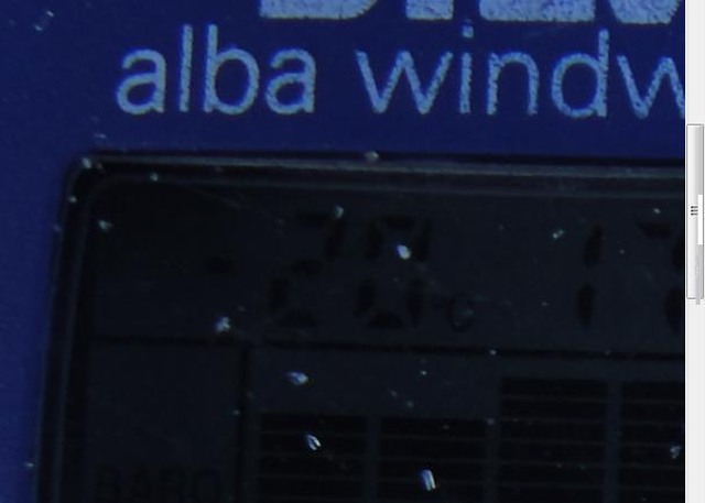
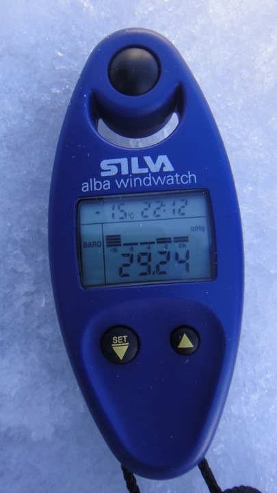
Temperature was -15C today, fairly typical of the 12 days I was there.

Silva Windwatch
DSC021001.JPG


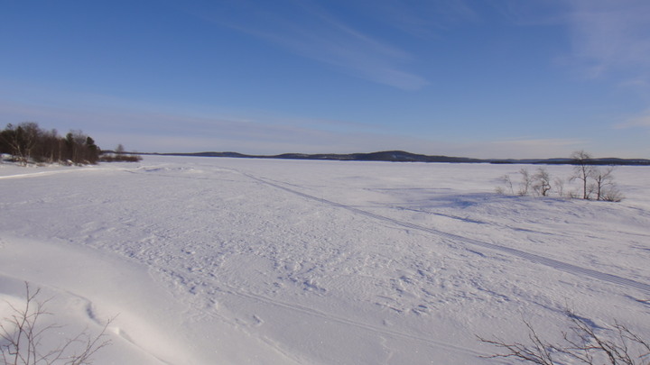
The view on the lake gets tedious after a while...
:)
DSC02101.JPG


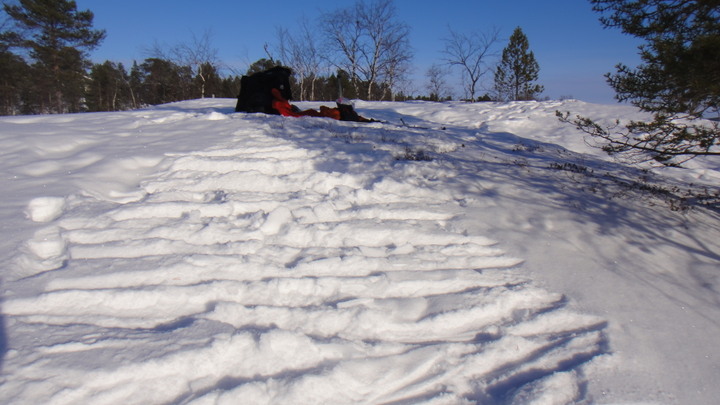
Sidestepping to get up a hill on the lake, who'da thunk it!
DSC02102.JPG


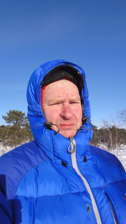
I stopped for a brew half way round. I was carrying a litre of near boiling water and reheated it before brewing up - standards must be maintained. To stay warm whilst stationary I placed my Rab Jannu jacket over my outer layer. For longer stops I like to remove my sweat soaked thermals and put on dry clobber. No matter how effective your big 'mothership jacket' is you won't be truly warm if you're still wearing sweaty undergarments. But for short stops overlayering is OK.

Rab Jannu 'mothership jacket'
DSC021051.JPG


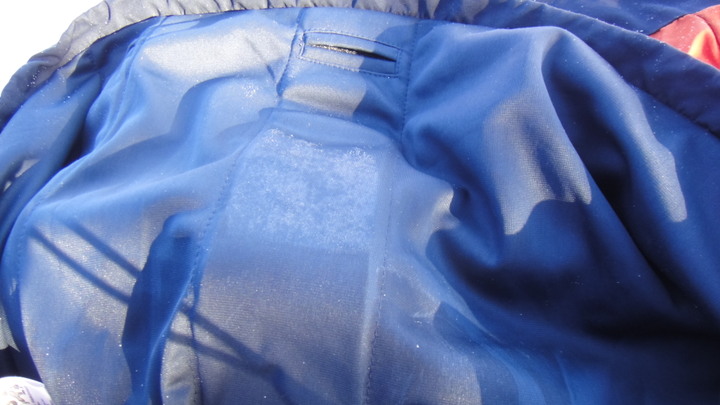
Despite wearing thin thermals under my smock I managed to overheat and yet get ice forming on the inside of my smock!

Ice in Aspira smock.
DSC02107.JPG


BTW all I wore whilst skiing was Paramo Aspira sallopettes and smock, Sub Zero polymide tops and 200g Woolpower longjohns. Boots were Lundhags Huski with a thin/thick sock combo.
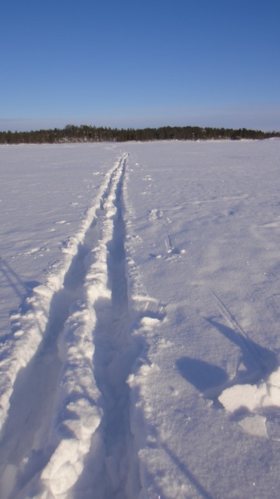
For the return journey I decided to go 'off piste'. This was a mistake but provided a useful lesson. I was, at times, sinking to my knees in snow. Dragging skiis out of powder snow is a real pain. Below is a shot of the trail I made, nowhere near as neat as the prepared trails shown earlier.

Going 'off-piste'
DSC021121.JPG


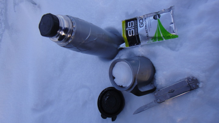
The going was hard work even though the distances were short. I noticed from the colour of my urine that I was dehydrated so I stopped to rehydrate with some British Army Marching Powder (glucose drink).

B.A.M.P.
DSC02115.JPG


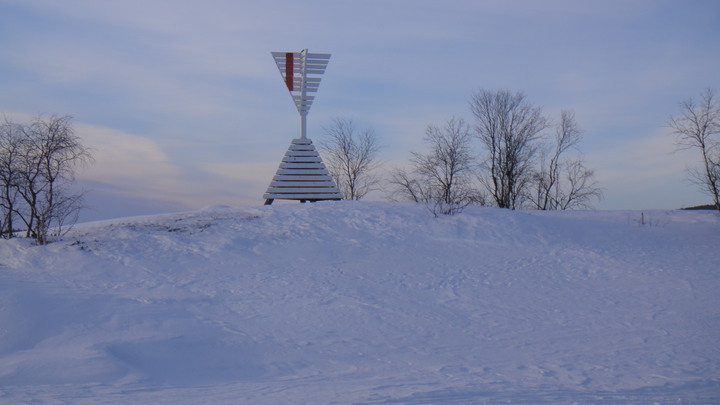
Suitably rejuvenated I carried on past a maritime navigation aid (at tracker point 26 shown above).

Nav Aid
DSC02114.JPG


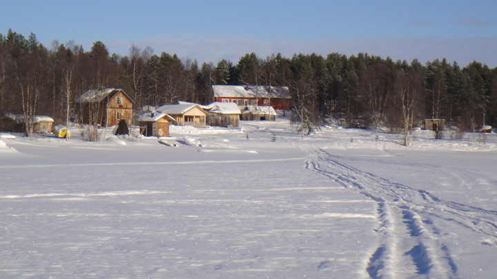
From this point onwards I found another snowmobile track and used it to head back to the village. Once back on firmer snow I could stop watchng my skiis and start to concentrate on the views around me. I noticed that whilst the forests are sparsely populated, everyone seems to have a holiday home on the edge of the lake, many only accessible by boat or snowmobile.

Typical lakeside view
DSC02090.JPG


So back the village and time for tea. I went to the local minimarket looking for food. Imagine my surprise when I discovered that a simple steak pie was not a stock item, infact they had no pies at all! I had to make do with crisps, nuts and salty liquorice sweets.

That pretty much concludes the first 3 days other than the perfect display of the Northern Lights, not the green version but the rare red kind. I was in bed asleep at the time!

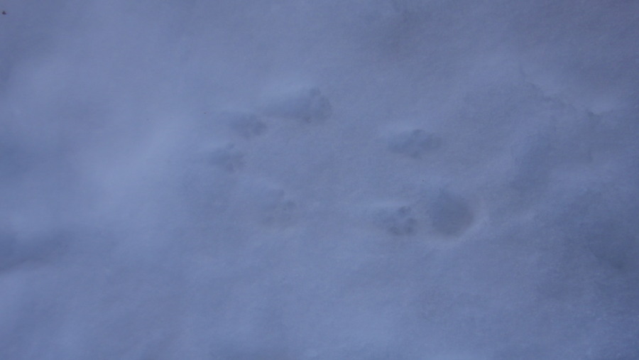
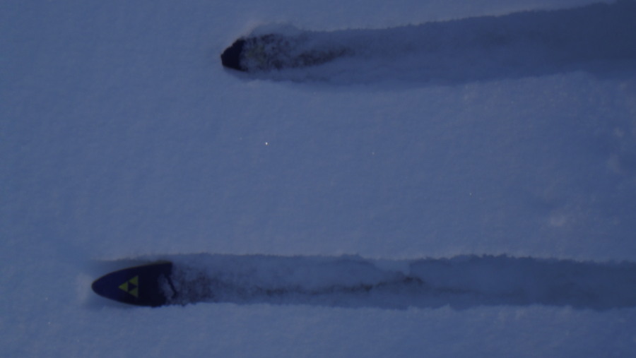
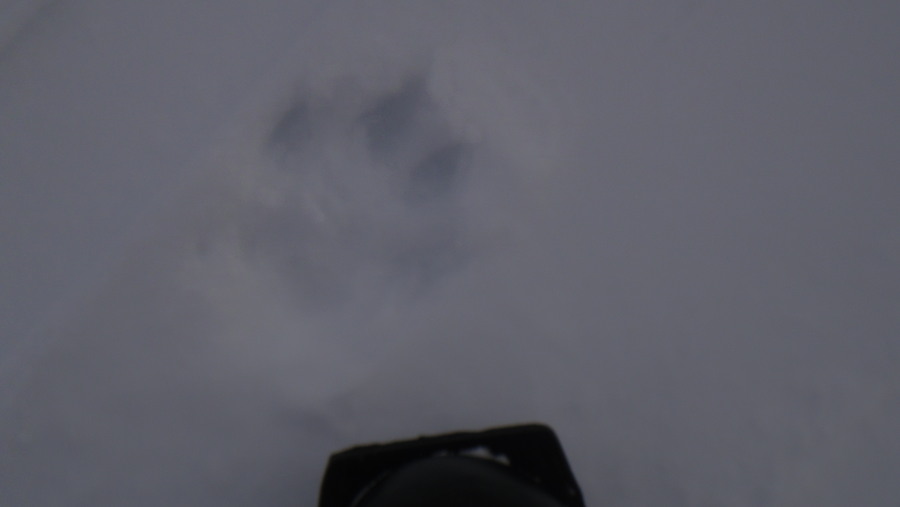
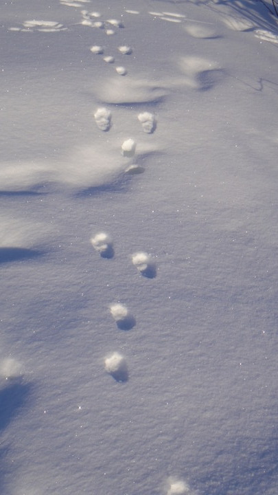
To finish days 1 - 3, what are these tracks seen earlier on the lake?

Animal tracks
DSC021061.JPG
 
Last edited:
Imagedude

Bushcrafter (boy, I've got a lot to say!)
Feb 24, 2011
2,005
46
Gwynedd
Sunday 3rd March

Last night was supposed to be my last in the B&B however on Monday morning I had a session with some dogs booked (the 4-legged kind) so I booked myself in for Sunday night too. I was getting too comfortable in the hotel despite the only radio station available playing a continual mix of Finnish death metal and rap interweaved with Radio 2 classics from the 1970s.
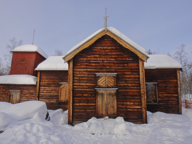
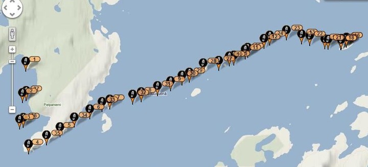
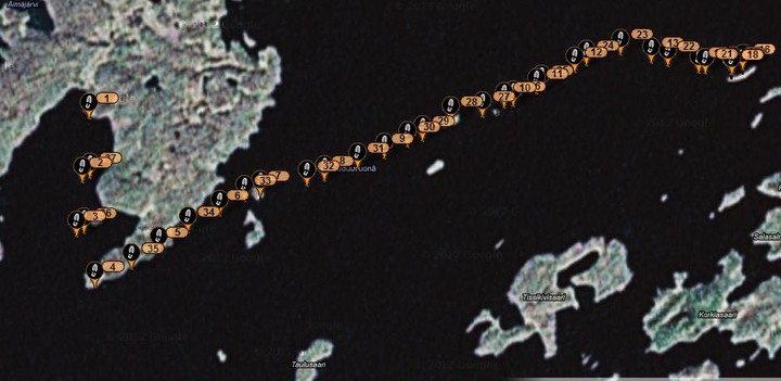
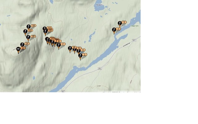
Today I decided to ski up to Pielpajarvi Wilderness Church built in 1760, one of the oldest surviving buildings in Lapland. The church is located at point 7 of the tracking map below and is clearly marked on the hiking route map.

Today's tracking data
3%20march_1.jpg


Hiking map showing Pielpajarvi
Hiking%20map%20east003.jpg


You'll notice from the map that there are 3 routes to the church, snowmobile (dashed blue), skiing (blue) and hiking (red). I followed the snowmobile track for most of the route there and made my own route for the return which ended with me walking along the hiking route. The hiking route was fairly well travelled which meant that I did not require snowshoes but carrying 2 metre skiis through a forest creates its own interest.
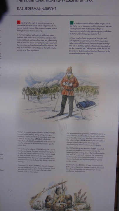
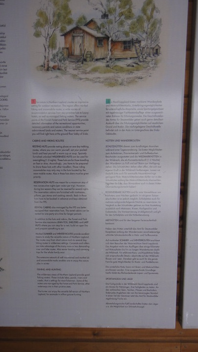
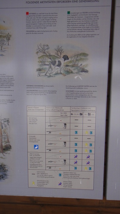
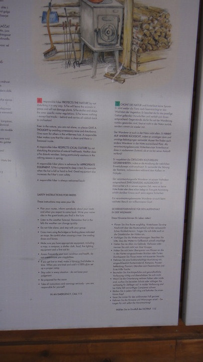
The trail to the church starts at the museum (Siida) and there you will find information on the rules and regulations for outdoor pursuits. Click on the pictures if you want to see a larger version. It's interesting to note that the person shown travelling in winter conditions is using skiis and pulling a pulk, the Finns have arrived at the same conclusion as me.:rolleyes:

Access laws - click for fullsize


Wilderness shelter rules and regs- click for fullsize- click for fullsize


Fishing regulations- click for fullsize


Wilderness travel safety- click for fullsize


Local area information- click for fullsize


Here's the road up to the museum itself...

Siida

DSC0212913.JPG


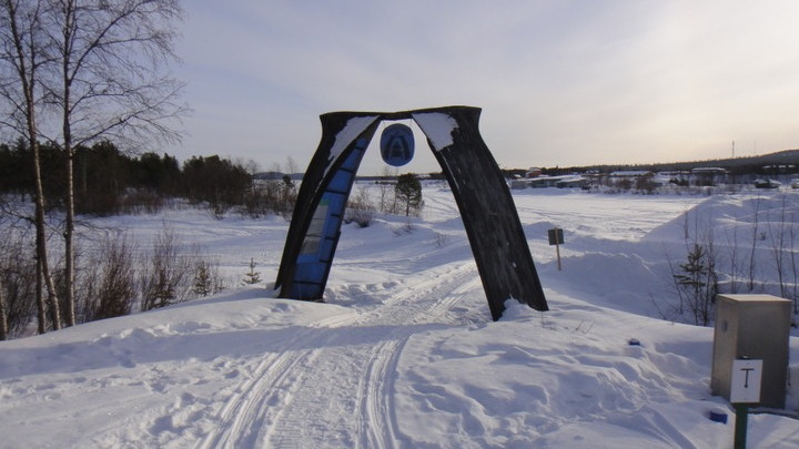
Many of the routes start at this gate made from a couple of old boats.

Boat gate

DSC0213013.JPG


Within the boats we find more information (click pictures for full sized images) mostly about snowmobiles. It's worth noting that the routes only get marked with poles once the ice is 20cm thick. The poles are usually removed in April when the thaw begins.

Snowmobile routes


Snowmobile rules and regs


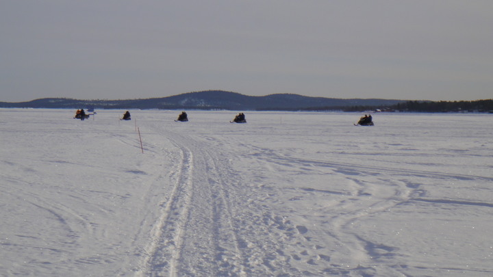
The routes are quite busy with tourist groups, locals checking their fishing lines or locals just doing their thang.

Tourists on skidoos
DSC02134.JPG


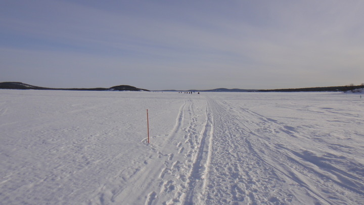
Surprisingly, many locals also walked on the ice, they don't seem to be as keen at skiing as the Norwegians.

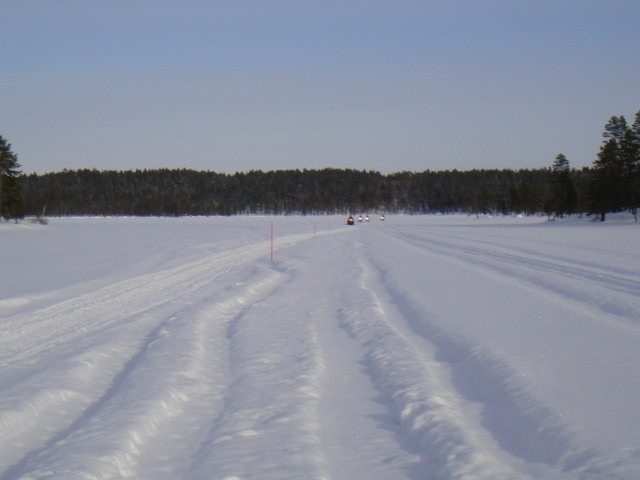
Hiking route (red poles) on the ice

DSC02135.JPG


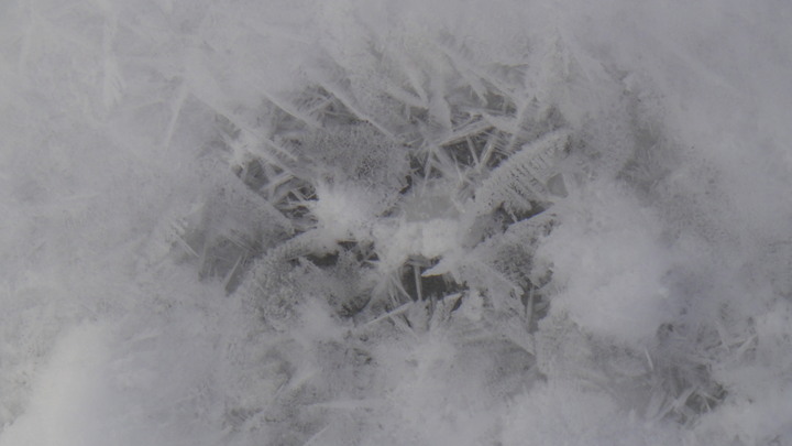
Ice crystals in a footprint in the snow
DSC02137.JPG


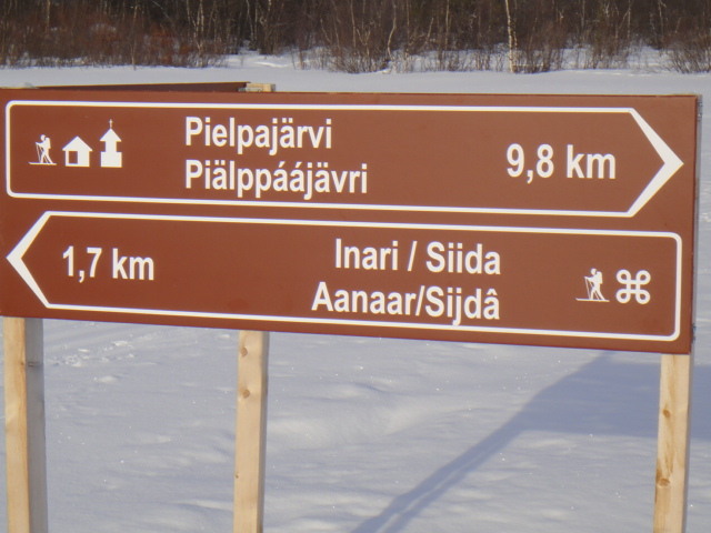
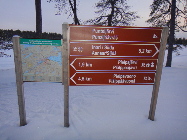
The area is well signposted. Today's trip was about 9 - 12km each way.

Yet another signpost

DSC02139.JPG


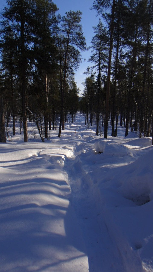
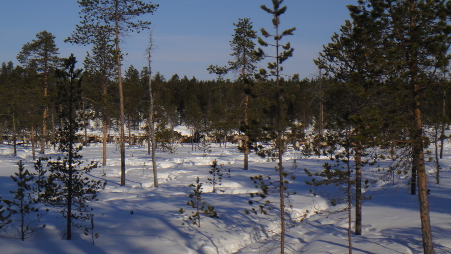
A typical view along the route
DSC02142.JPG


Look how deep the snow is off the route

Deep snow
DSC02143.JPG


More snow and trees
DSC02145.JPG


There really was no getting away from the signs along the route, here we have a sign warning snowmobiles that they're crossing a hiking trail (I think)

Signs in the forest

DSC0214913.JPG


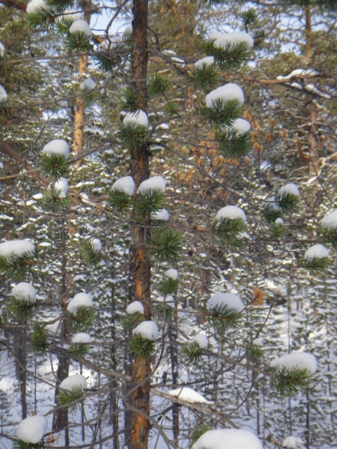
Not much snow left in the trees

DSC021501.JPG


There's no escaping the snowmobiles
DSC0215113.JPG


Crossing a 'small' lake before arriving at the church

DSC02153.JPG


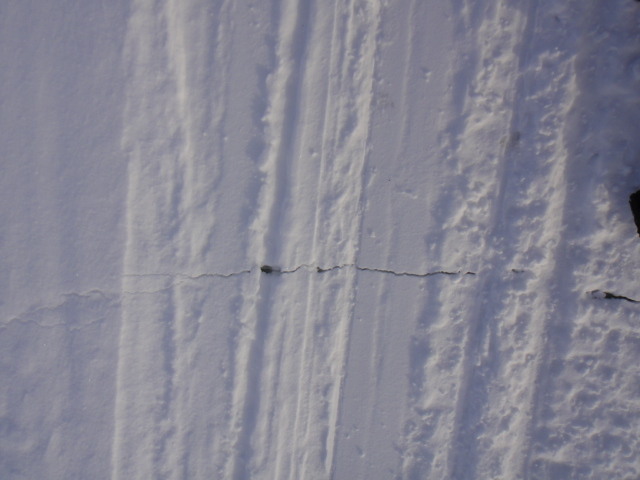
Although the ice was solid there were cracks...

Crack in frozen lake
DSC02157.JPG


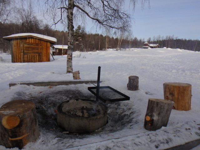
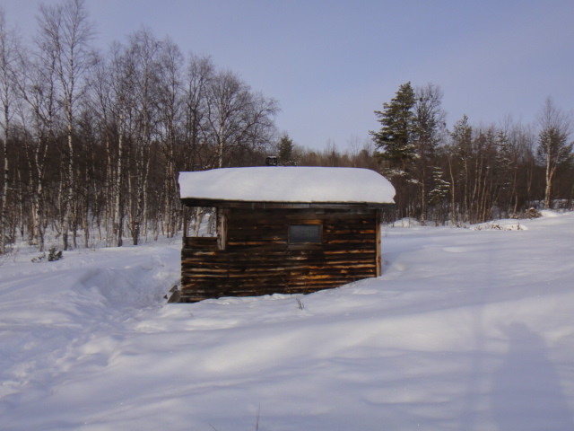
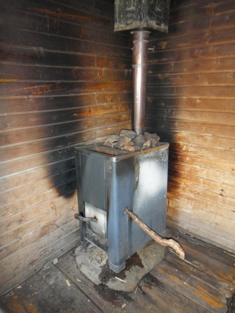
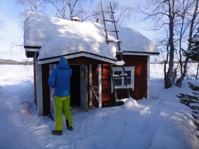
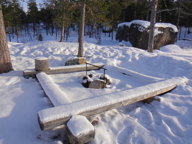
The church is part of an old village and parts of it remain however the most conspicuous buildings are the fire area, day trip hut, wood store, long drop toilet and sauna!

Fire area
DSC02161.JPG


Sauna
DSC02181.JPG


Sauna fire
DSC02179113.JPG


Sauna interior (looks like a pub I once frequented)
DSC02180.JPG


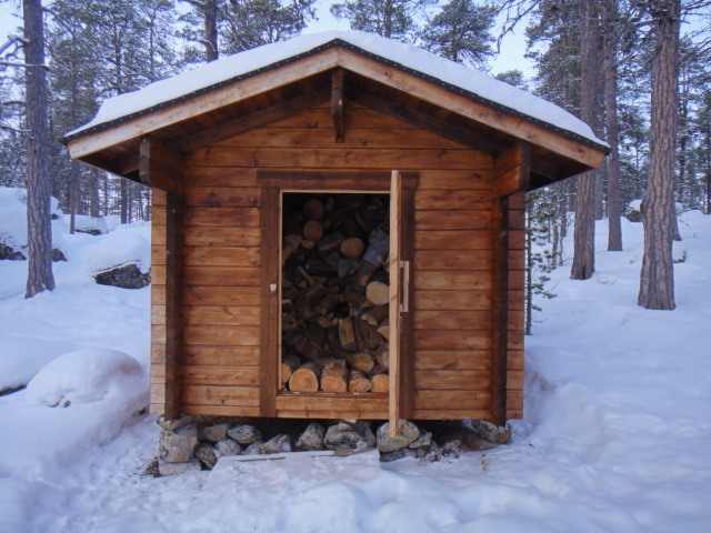
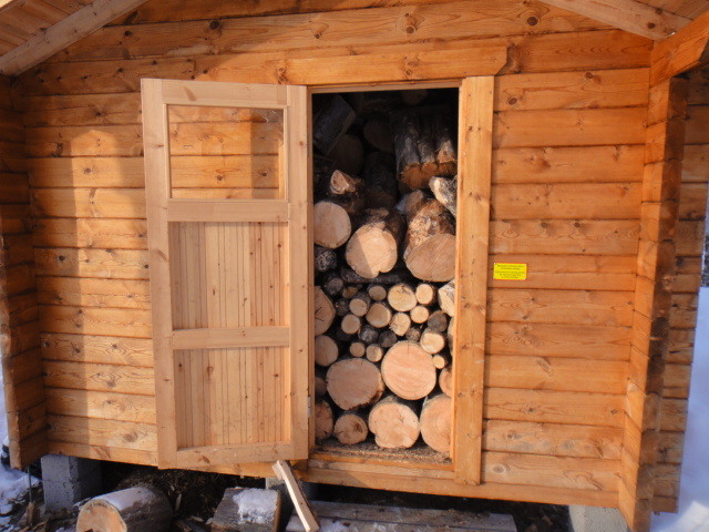
Log store for the day-trip hut
DSC02187.JPG


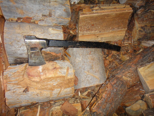
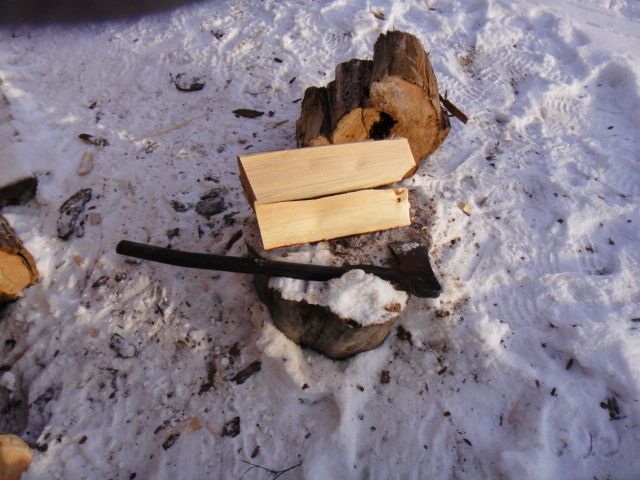
Every log store has a metal shafted axe
DSC02188.JPG


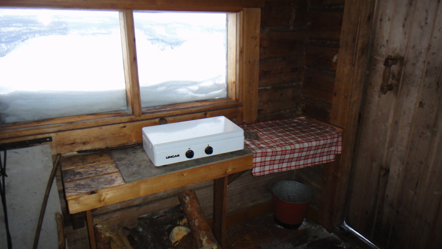
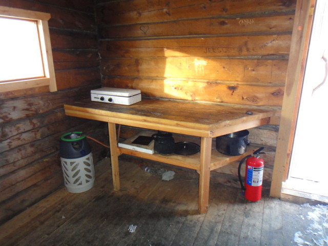
Every day trip hut I visited seemed to have a propane stove and an empty gas bottle connected. I guess they only get filled in the summer.

Propane stove
DSC02190.JPG


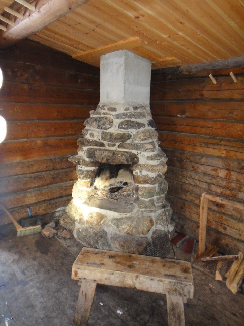
Hut fireplace

DSC021911.JPG


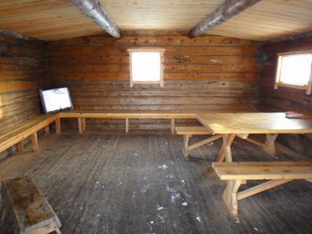
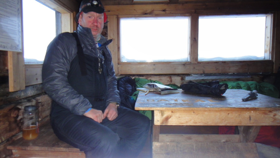
Inside the day trip hut

DSC02192.JPG


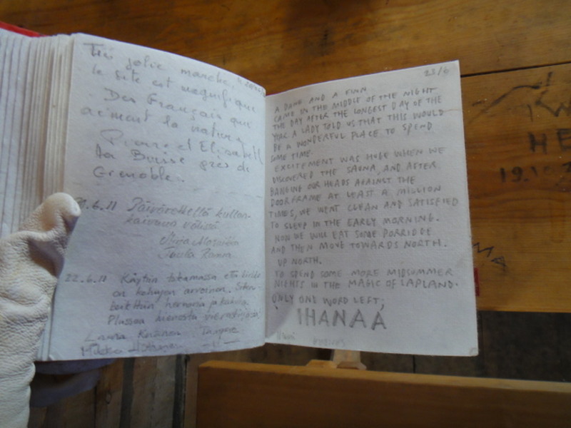
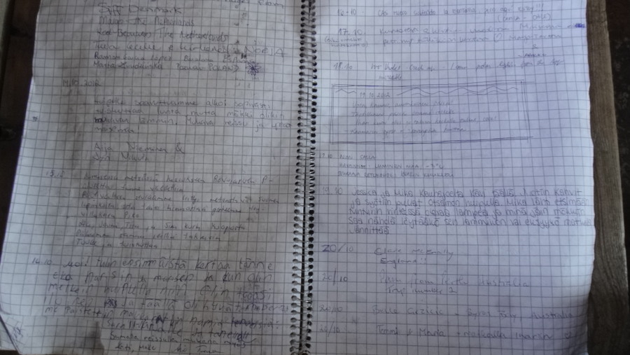
Most huts had a visitor's book, I find that these make fascinating reading. People had visited from all over Europe and the Americas but the place is also very popular with Asian folk.

Visitor's book
DSC02195.JPG


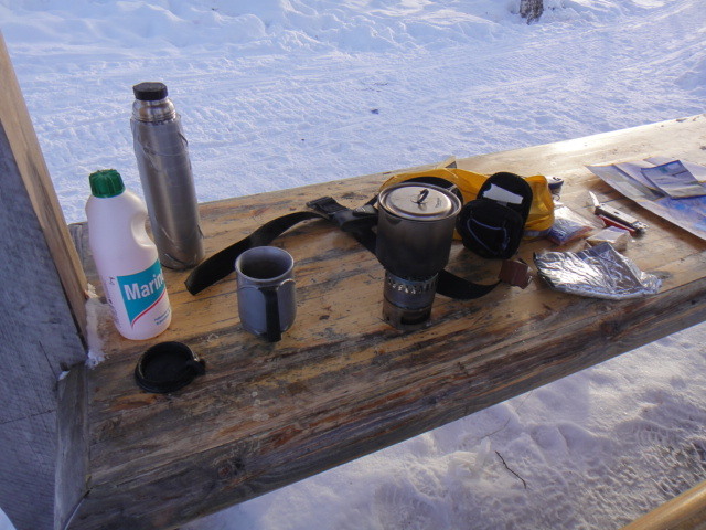
Brew stop
DSC02196.JPG


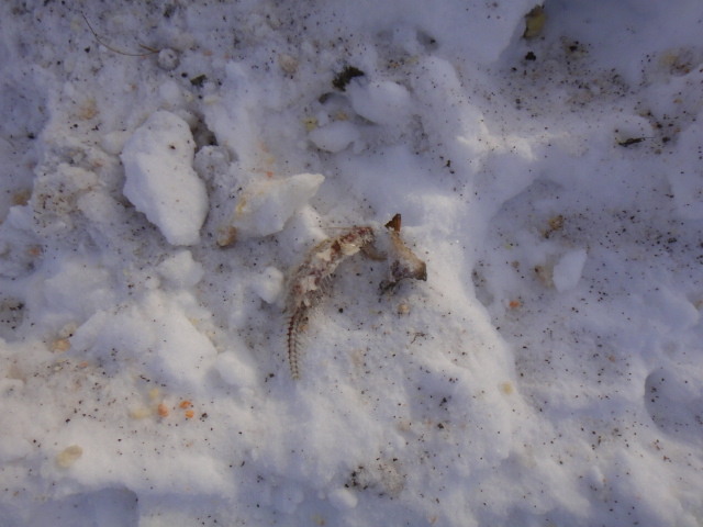
At the camp fire area I discovered some old fish bones, whether they were left by fisherman or wild animal I have no idea.

Fish bones
DSC02185.JPG


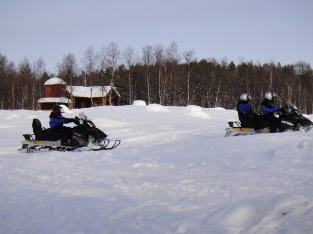
They church and village are a popular destination for snowmobile tours with one arriving every 90 minutes or so. I had the pleasure of seeing a snowmobile roll onto its side when one of the tourist drivers turned too sharply.

Snowmobile tourists
DSC0218413.JPG


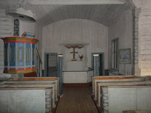
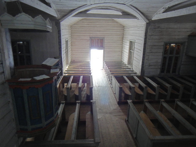
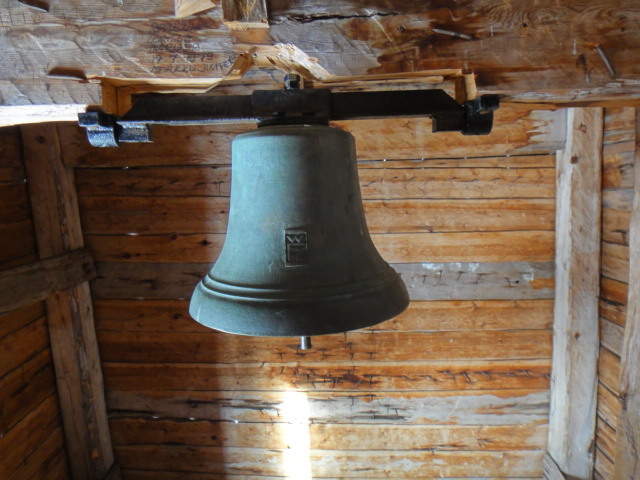
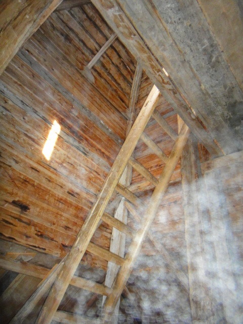
The church is worth a visit, it is not locked and is free to enter. I particularly liked the machinegun nest stylee bell tower.

The church

DSC02164.JPG


Inside the church
DSC0216713.JPG

DSC02178.JPG


Ladder up to machinegun nest

DSC021691.JPG


Church bell
DSC02172.JPG


We know a song about church bells don't we children, let's sing it together...

Ring the bell Verger, ring the bell ring,
Perhaps the congregation will condescend to sing,
Perhaps the village organist, sitting on his stool,
Will play upon the organ.. etc

Moving swiftly on...

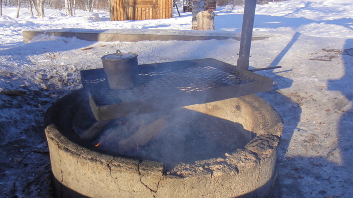
I finished off my visit to the church with another brew, this time I used the fire pit rather than my spirit stove.

View of church via fire pit
DSC02161.JPG


Here's some shoddy video footage of the church, inside the day trip hut, camp fire area, long drop and log store, sauna and workman's hut.

Video, may take a while to load

[video]http://imageevent.com/imagedude/finland?p=552&n=1&m=24&c=4&l=0&w=4&s=0&z=2[/video]

At this time of year it starts to get dark at around 5PM so I set off at about 3:30PM. I decided to do a little exploring on the way back and take a different route. Initially I tried the hiking route but the snow was too deep.

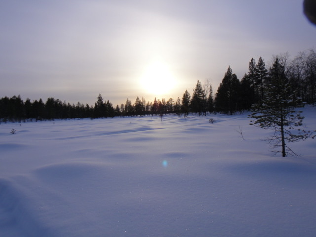
Sun starting to set

DSC02200.JPG


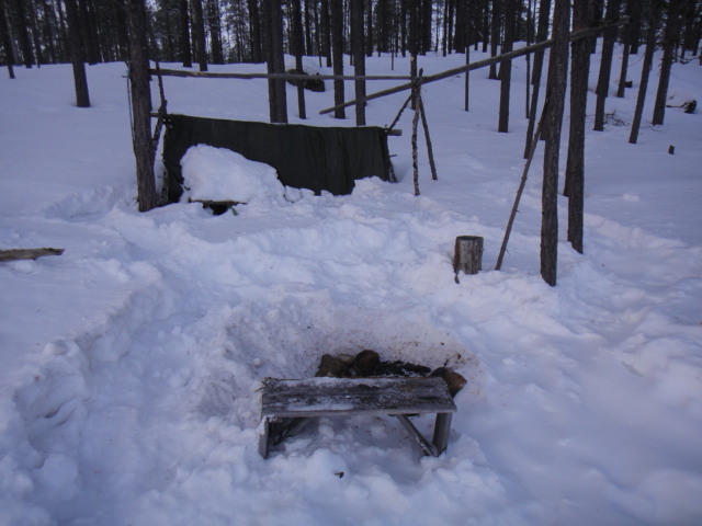
I followed some snowmobile tracks which terminated at a camp. The tent was full of firewood.

Camp
DSC02205.JPG


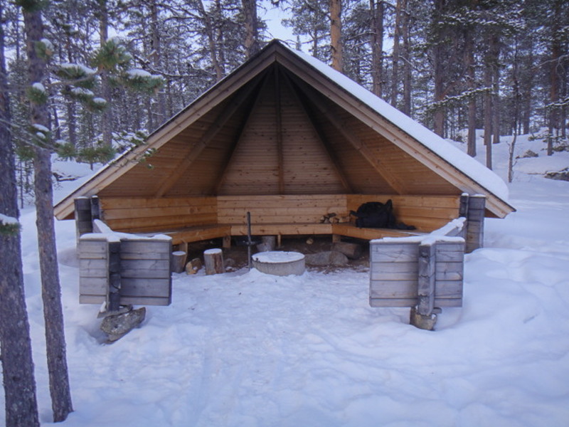
Eventually I was able to find the skiing track and this took me to my first laavu located at Puntsijarvi (see map above)

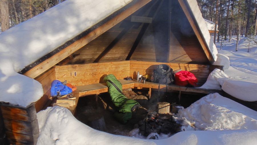
Laavu at Puntsijarvi
DSC02206.JPG


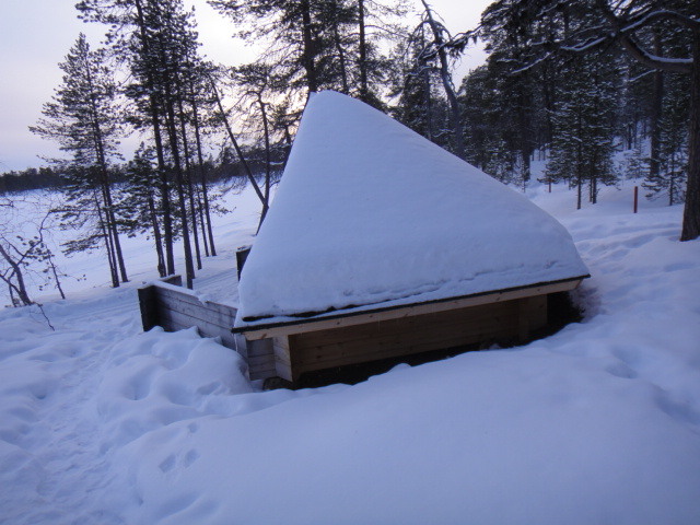
Profile view

DSC02207.JPG


Log store
DSC02209.JPG


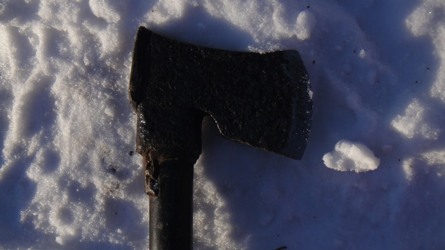
'tis a shame these old traditional Finnish axes get used in this way, I'm going to try and buy me one of these type of axes and put a proper wooden shaft on it.

Axe
DSC02210.JPG


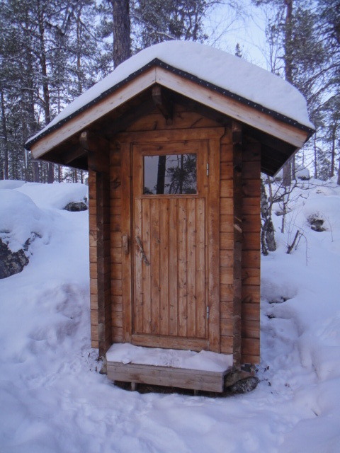
Long drop crapper
DSC022111.JPG


Nobody escapes the Spanish Inquisition (or Finnish signposts)

DSC02212.JPG


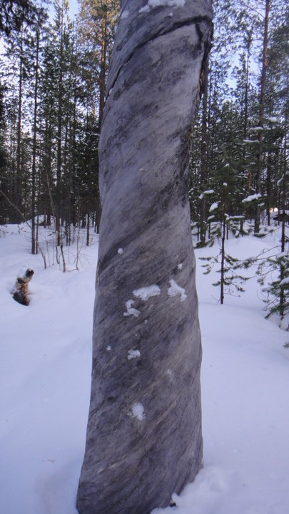
At this point it was starting to go dark, I decided the quickest way back was on the hiking path which was quite well consolidated from this point onwards. The path goes through the forest and I noticed that many of the trees twist as they grow, why is that?

Twisted grain in tree
DSC02217.JPG


Another twisty tree
DSC024201.JPG


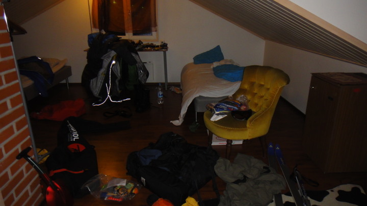
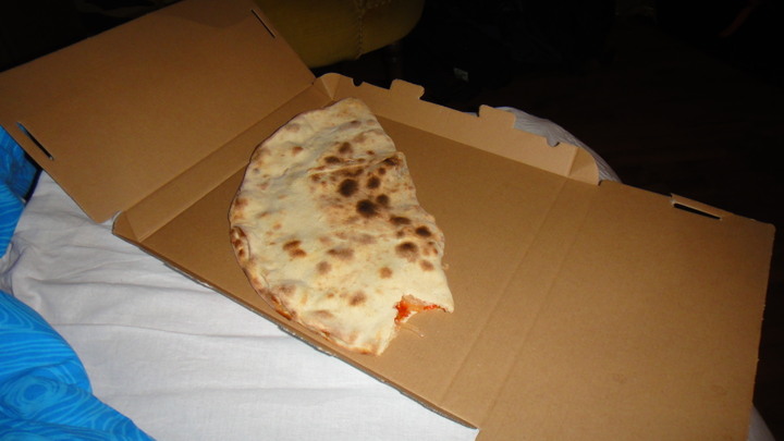
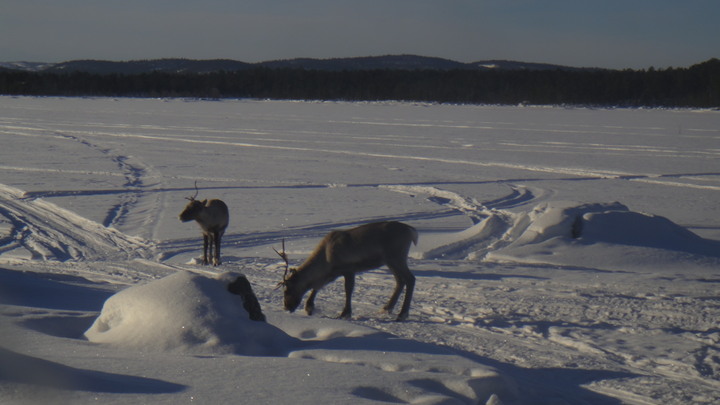
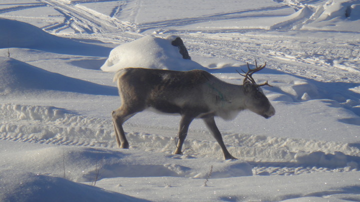
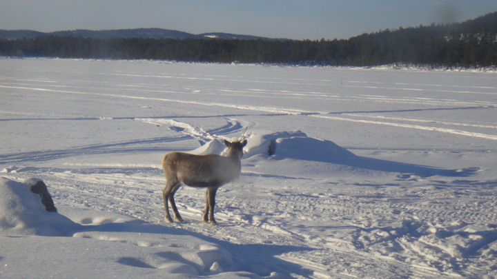
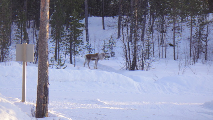
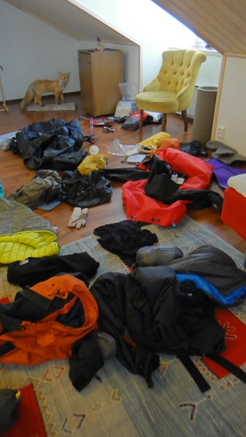
After a short battle with the forest (which included my first reindeer sighting) I returned to the B&B for my last night indoors (until Wednesday:lmao:). I used the time to sort my kit out and reduce my pack weight to about 40lb. The excess kit (mostly food) would be stored at the B&B. Substinance for the evening was provided by a blue cheese, kebab meat, onion and pepper calzone pizza.

Sorting kit.
DSC02118.JPG


Pizza, eaten whilst listening to Finnish rock music again

DSC02117.JPG


And here endeth Sunday's rambling trip report...
 
Last edited:
Imagedude

Bushcrafter (boy, I've got a lot to say!)
Feb 24, 2011
2,005
46
Gwynedd
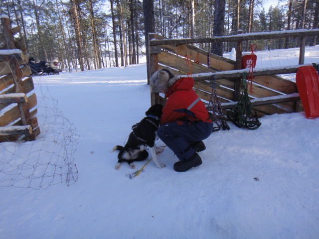
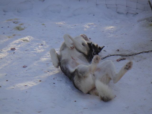
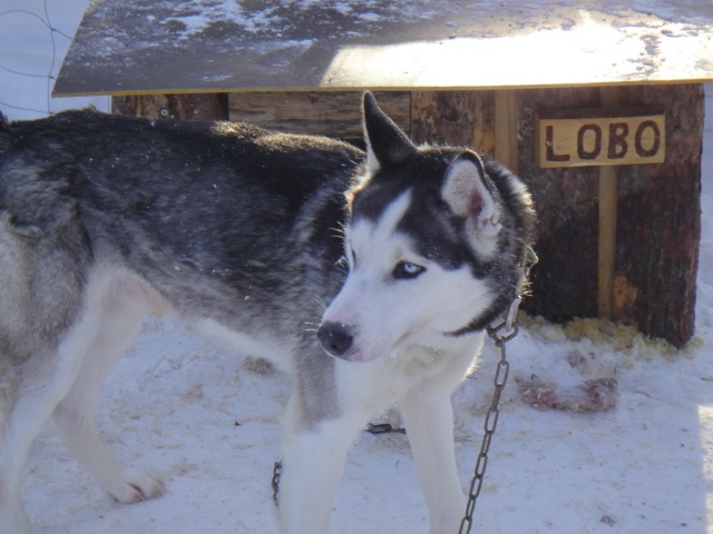
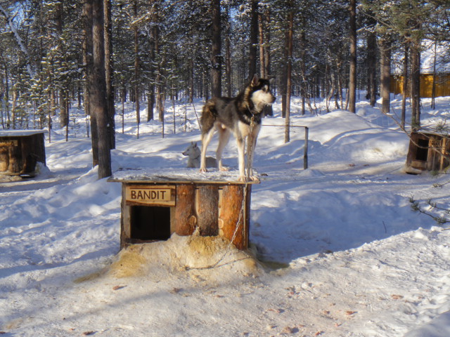
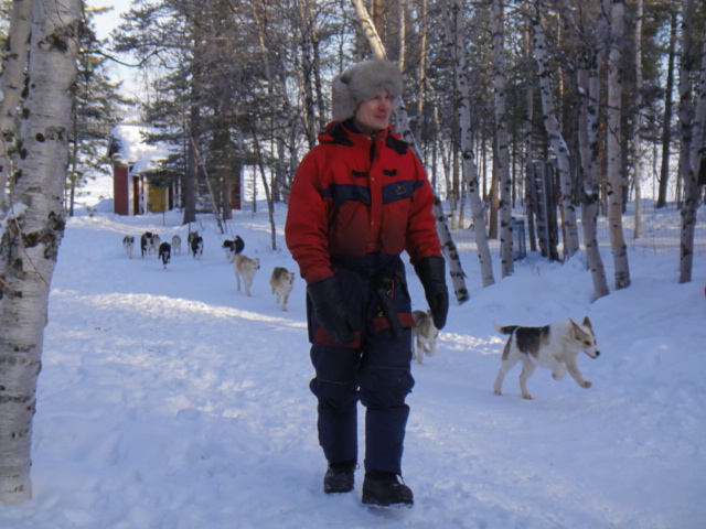
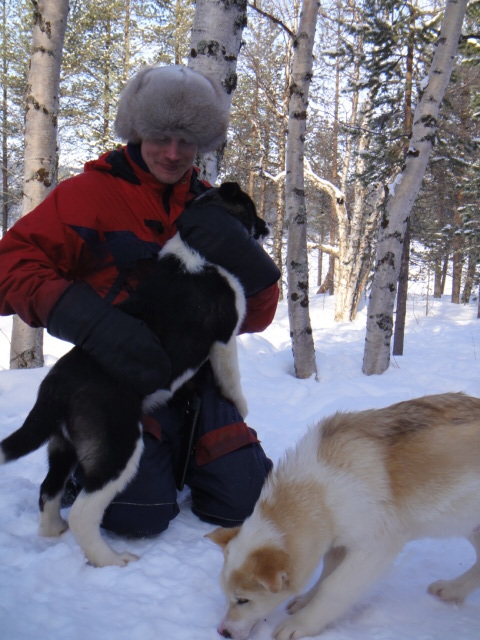
Monday morning after breakfast I was picked up at the hotel and taken a few km north to a farm that has dogs and horses that are used for local excursions. I wanted to try mushing as I'm thinking of doing a 5 day dog sledding tour in the next year or two, best to find out if I like it first! As soon as we arrived at the farm we were given a short briefing then straight on to our sleds. The dogs were ready and were howling with excitement, they knew they were going for a run and were already trying to pull the sleds which were tied to trees. I had a one man sled with 4 dogs, the other people went in pairs with 6 dogs per sled. I was the first to set off and was to follow a snowmobile with 2 people onboard, a driver and a rearward facing spotter. We set off onto the lake at a fair pace initially travelling in straight lines then as we proved our competance we went around a few sharpish bends. After about 20 minutes we stopped for a short while as the dogs had spotted a flock of reindeer and chasing reindeer is a lot more fun than following a snowmobile. Once the deer were gone we set off again and, as we had been fairly OK we left the lake and took a twisting track back through the forest. This was hard work as you have to lift your leg off the runner to use the brake, I got my fat boot trapped between the brake and sled and overturned. No harm done I quickly righted myself and set off again. Back t the farm we were then allowed to play with the dogs and given a talk on their daily life. The most photogenic dog was Lobo who was a wolf/husky cross.

Tracking data around the lake

4%20march%20north%20dogs_1.jpg

4%20march%20terain.jpg


Unharnessing a dog at the end of a ride
DSC02226.JPG


Cooling off in the snow
DSC02233.JPG


Lobo the wolf dog.
DSC0223513.JPG


Bandit
DSC02248_1.JPG


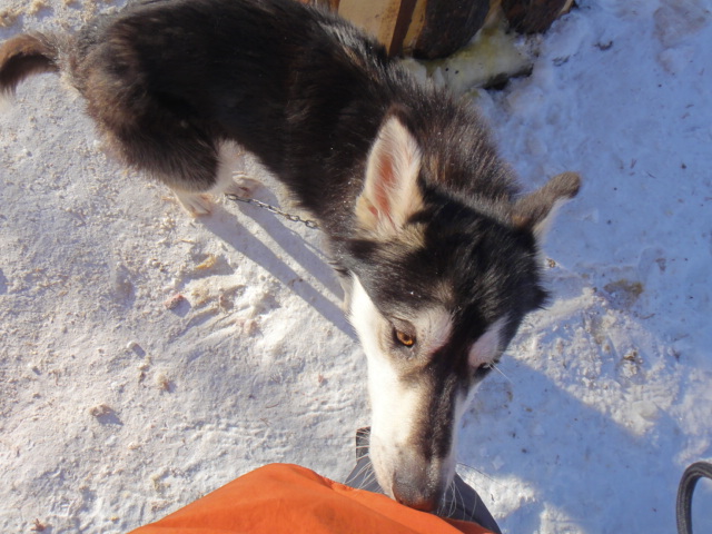
Something smells good
DSC02259.JPG


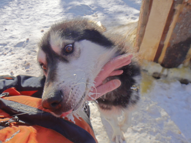
Dogs are happy to be petted
DSC02260.JPG


And a few videos of nothing much

[video]http://imageevent.com/imagedude/finland?p=556&n=1&m=24&c=4&l=0&w=4&s=0&z=9[/video]

[video]http://imageevent.com/imagedude/finland?p=557&w=4&c=4&n=0&m=24&s=0&y=1&z=9&l=0[/video]

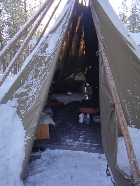
After playing with the dogs we had food and drink in a traditional tent with a BBQ set up in the middle. We had to fight off numerous red squirrel who were hungry too. One of the other clients showed a photo they'd taken near Inari of some bear prints. There was a brief warm spell last week and the melting snow in the bear's nest had caused them to awaken early. Inside the tent the owner told us tales of the great -50C freeze in 1999 when it was so cold he couldn't start his snowmobile, of how he lost a dog to a lynx and how a bear killed 17 female reindeer just for the small amount of cheese formed around the mammary gland.

Tent

DSC022651.JPG


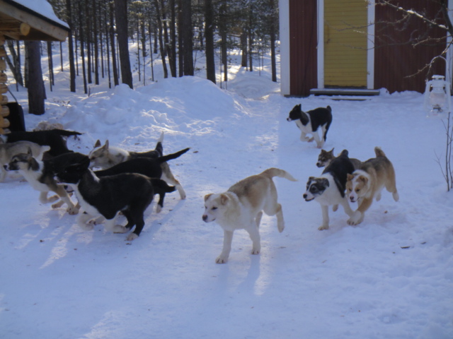
After lunch the puppies were let out for exercise and feeding. They ran around as a pack and from this you could see who would probably be a lead dog later in life.

Puppies
DSC02267.JPG

DSC022711.JPG

DSC02268.JPG


Video of puppies doing what they do best
[video]http://imageevent.com/imagedude/finland?p=555&n=1&m=24&c=4&l=0&w=4&s=0&z=9[/video]

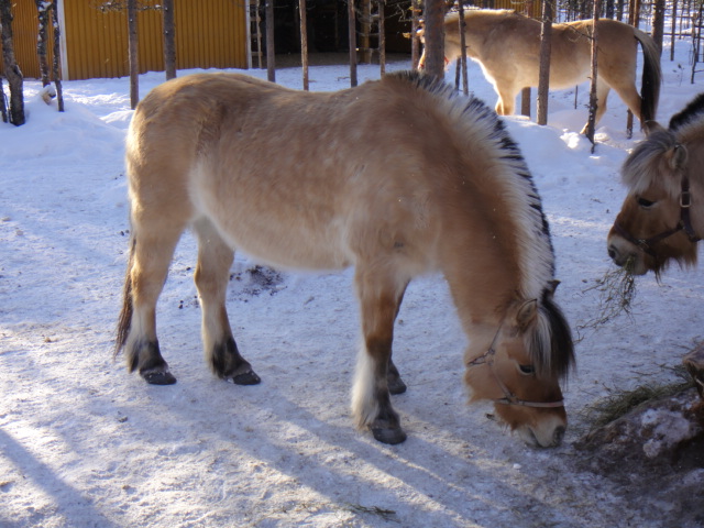
After watching the puppy stampede we were given a tour of the farm which included the sauna where traditionally people were born and died and of the ponies which are used to tour the local area both in summer and winter.

Sauna by the lake
DSC02274.JPG


Ponies
DSC02277.JPG


Overall the trip to the farm lasted about 2.5 hours and I now know that mushing is something I can do and will be doing again. Once back at the hotel I collected my rucksack and skiis and headed out onto the lake for 2 nights camping.

Tracking data for 4th March
4%20march%20wide_1.jpg


Tracking data for the afternoon only
4%20march%20south_1.jpg


I skiied out to what was marked as a campfire site with shelter at Pielpavuono, about 8km away.

Map
Hiking%20map%20east003.jpg


The route took me past a number of lakeside holiday homes, and very nice they were too.

Holiday home
DSC02282.JPG


The route I used was the ski tour route, at first it was ok but the second half of the route had been covered by blown snow which made travel difficult. And there was a cloud in the sky, how very dare they.

As close as I got to inclement weather.
DSC02284.JPG


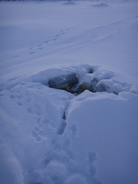
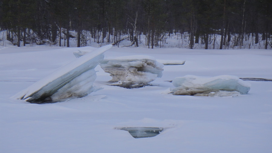
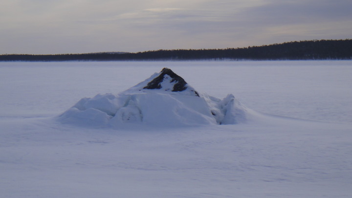
As I was approaching the shoreline I noticed numerous lumps in the snow about the size of a small car, these were lumps where the ice had formed over a shallow rock or areas were pressure was being relieved.

Pressure relief zit
DSC022861.JPG


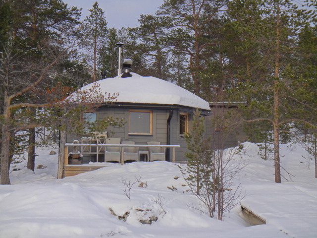
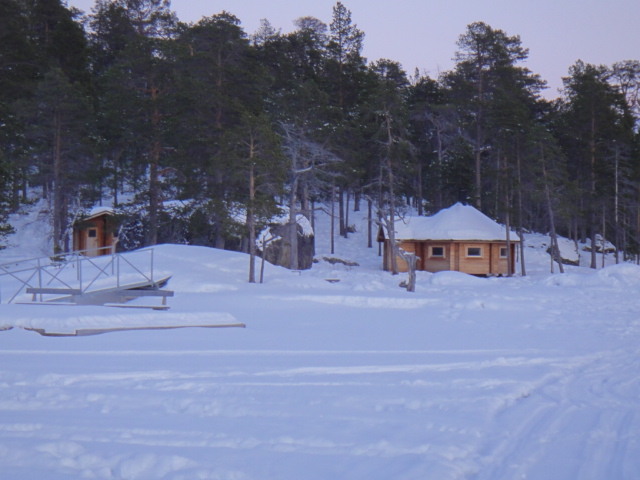
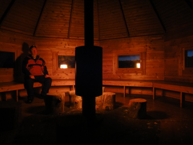
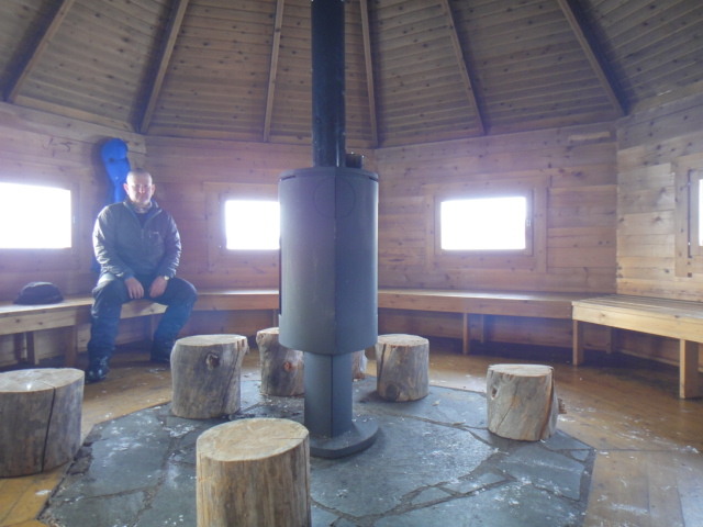
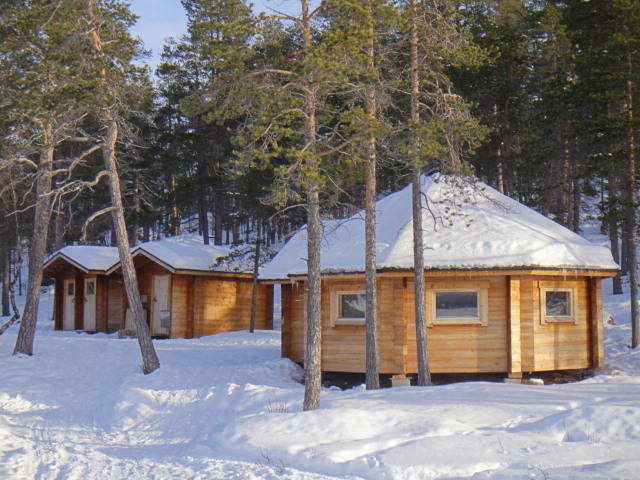
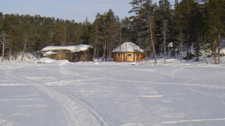
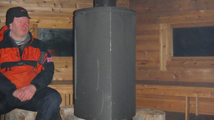
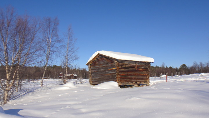
As I approached my final destination I was dismayed to see that someone had built a landing stage and a house on my campsite! I was not happy as I was chinstrapped at this point. My fears were unfounded though as this was the campsite with its new day trip hut. The site had a 6 metre log cabin with Jotul stove and propane stove, a woodstore, 2 toilets and a recycling room.

Pielpavuono campfire site
DSC02287.JPG


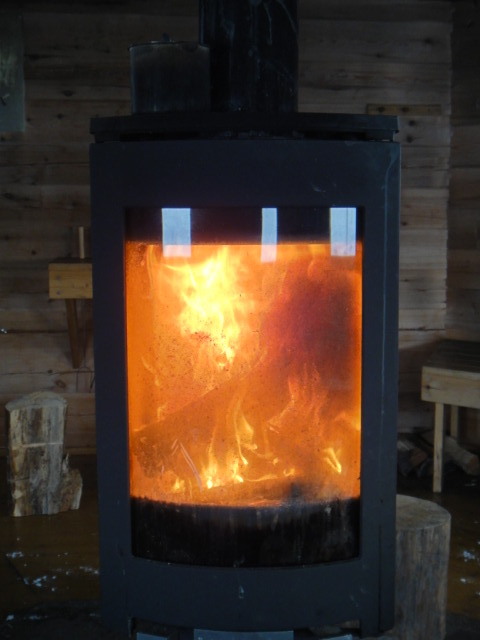
The first job was to get a fire going, someone had been there earlier in the day and it was still warm inside, a balmy -4C.

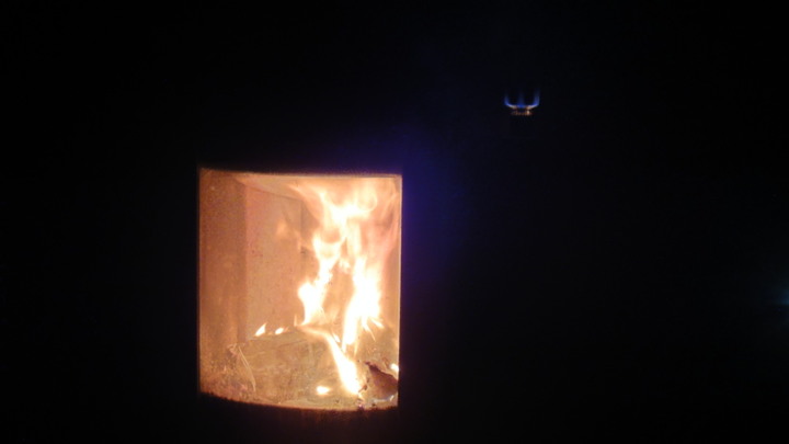
Jotul fire alight

DSC02292.JPG


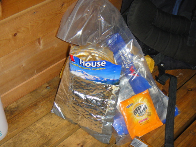
2nd job, get a brew on and make my tea. The Mountain house dried food was quite palatable.

Evernew spirit stove
DSC022971.JPG


Mountain House pasta
DSC02299.JPG


Tempting as it was I was not going to sleep in the cabin. I had managed to get the temperature up to +14C in 90 minutes burning relatively little fuel and it was difficult to leave but I went outside and prepared an area for my tent. This was about the only time I used my shovel. As I was going to bed at about 10PM I heard a few snowmobiles pull up at the cabin. It was a group of Japanese tourists on a Northern Lights excursion. I heard the guide say it was not unusual to find 30 campers or more at this hut. Tonight was the last night of good aura activity, a shame given the stunning displays on the first few nights. Once the tourists had departed I went back indoors for another brew and to get changed into my jimjams - a pair of insulated Rab Photon trousers and a Rab Photon Hoodie top. Clean socks were also donned and I kept my hat on in bed. Once changed and watered I retired to the tent for the rest of the night. I arose at about 8am, about 2 hours after it starts to get light and I only got up this early because my 1 litre **** bottle was full to overflowing (I don't do mornings). The colour was a dark orange so I still needed to increase my water consumption yet further.

Chez Bob
DSC02309.JPG


The overnight temperature was about -25C, my boots were difficult to put on, the tent was an ice cave and my rucksack was rigid.

Frozen sack
DSC0230811.JPG


Once inside I got breakfast started using the litre of near boiling water I always keep in my flask. This is one of my few hard and fast rules, the flask always gets refilled ASAP. Breakfast was a boil in the bag porridge served with tea then hot chocolate and very nice it was too.

Me in jimjams at breakfast

DSC02312.JPG


Daytime TV campsite style
DSC023131.JPG


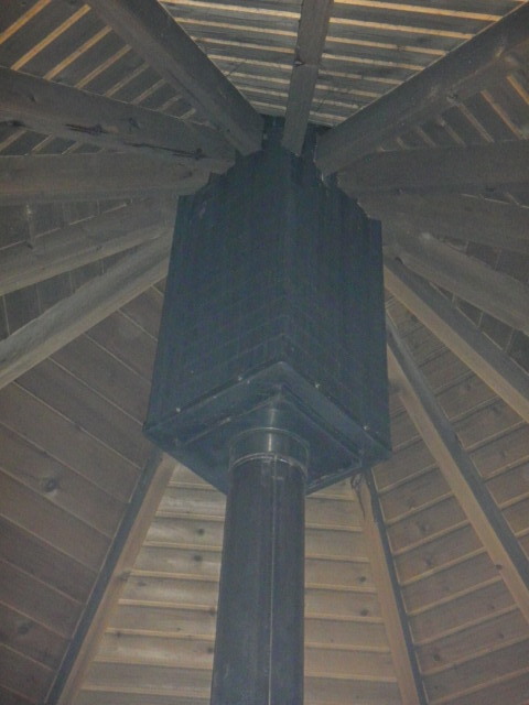
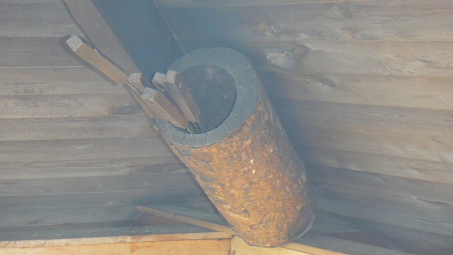
Square thing on the chimney, what is it?
DSC023141.JPG


Damage to floor, is that really necessary?

DSC023161.JPG


All I was expecting to find here was this, the campfire site.
DSC02322.JPG


Hut, log store and twin khazis
DSC02324.JPG


Wide interior view

DSC02326.JPG


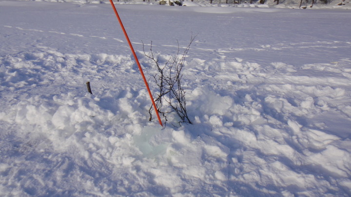
Once my personal administration was complete I packed everything apart from my tent and set off for Ukonsaari, a small island that was used for religious purposes by the Sami people. They would offer sacrifices here to the god of thunder for a good day's fishing. It is one of the most important archaeological sites in Finland. I set off at 11am, 4 hours after sunrise but that's still early for me. I thought that I had plenty of time given that it was only about a 14km round trip. I made fairly good time and arrived at about 1400, spent an hour exploring and brewing up then started for home at 1500. I was mostly walking along skidoo tracks but using the skiis when I encountered soft snow. The skidoo tracks are also well frequented by the local wildlife too, they've learnt that they are easier to traverse than soft snow. On one such occasion near the island I noticed that the skiis did not sound right on the snow, I travelled for a short while while listening to an echo like sound from the skiis then it happened, the snow gave way. I was convinced, briefly, that I was going under the ice but I merely sank about 2 feet deep into a hollow where the covering of crusty snow had somehow formed about 2 feet above the ice. No harm done, I continued on my way surrounded by the waft of caramilised onions. The tracks I followed were created by locals fishing on the ice, they would mark their boreholes with twigs and cover the holes to stop them refreezing. One hole was covered by an old Electrolux fridge door!
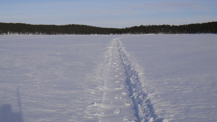
The main thing that I learnt today was that travelling on a lake is no fun, the view does not change and you get demoralised because you don't seem to be making any progress.

Setting off
DSC02333.JPG


Cabin and big rectangular boulder
DSC02335.JPG


Animal tracks along the skidoo tracks
DSC02336.JPG


Fishing borehole
DSC02339.JPG


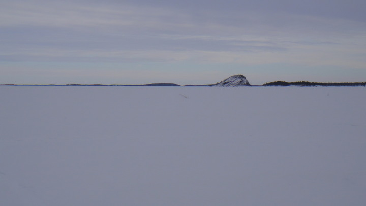
My destination centre frame on the horizon.

DSC02341.JPG


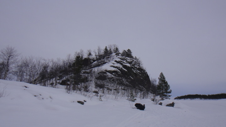
Rocky outcrop

DSC02344.JPG


Hello Mr Fisherman how do you do, have you got a lobster I can buy from you?
DSC02345.JPG


After 2 hours it seems to be getting closer...
DSC02346.JPG


Finally there
DSC02349.JPG


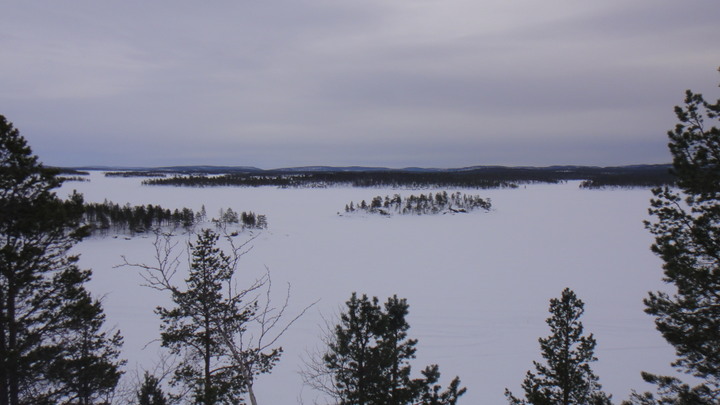
View from the top (30 metres high) of more ice, snow, islands and trees
DSC02354.JPG


Skiis make a good base for the stove
DSC023601.JPG


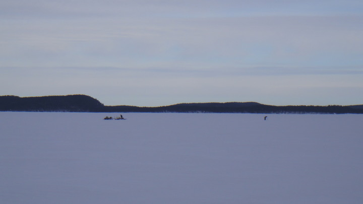
On the return trip I saw a man pulling a pulk, good to know I'm not the only person on foot this far from the village (about 11km)

Man with pulk in distance.
DSC02362.JPG


Below is a a typical view on the return journey, you can understand why the locals travel at 160kmh

I had this view for 2 hours
DSC02363.JPG


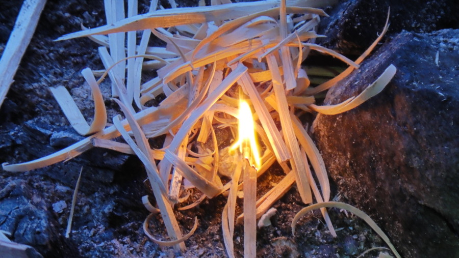
Once back at the cabin I prepared my tea and drank as much liquid as I could. The cabin's gas bottle was empty so I used my spirit stove. To keep my urine on the right side of dark orange I was using 0.5 litre of meths per day to melt snow. Tonight's tea was chicken tikka followed by fruit in custard. The puddings were ok but really too much trouble and expense for the calories gained. I'll just take chocolates and snack bars next time. A fire was lit using tindercard and a firesteel. I had purchased some gas lighters but they were next to useless, the tindercard really was the star performer of the week.

Collecting my thoughts by the fire
DSC02369.JPG


Evening TV, cooker in background
DSC02368.JPG


My source of water
DSC023841.JPG


After an uneventful night I retired at about 10pm.

Today's tracking data
march%205%20map.jpg

march%205%20terrain.jpg


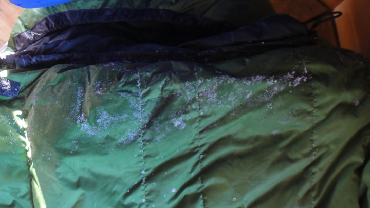
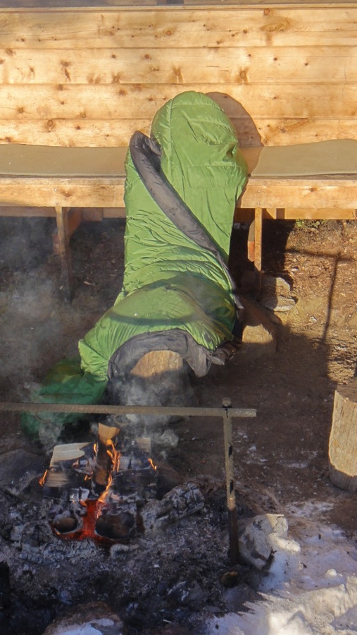
Wednesday morning was as cold as the previous day and getting out of the frosty tent was no easier, in fact it was a lot harder. The exercions of the previous day had made my feet sweat and my felt inners were now frozen in my boots. No problem I thought, I'll just swap them for my spare inners. A great theory but the frozen inners weren't budging. I tried to get my feet into the boots to warm them up but they didn't fit until I removed my thick socks. I ran around for a while to warm my feet up and eventually the inners began to thaw. I had lit a fire in the day trip cabin and used this to dry the inners once I managed to remove them. I also hung my boots above the fire to melt the remaining ice that had formed inside them. Lesson learned - I needed to maintain my boots more carefully. From then on my inners were changed every day and the damp pair dried by the fire and then at the bottom of my sleeping bag every night. As well as frozen boots I had a frozen sleeping bag too. I must have moved my head into the bag and my breath had frozen leaving about a square foot of ice on the outer shell. I also had a layer of frost between the sleeping bag and the bivi bag every morning which simply brushed off.
Breakfast was the usuall porridge plus plenty of liquids and today I was joined by a flock of reindeer who were snacking just outside one of the cabin's double glazed windows. After the usual 2 hours or so that I needed to sort myself out every morning I set off back to the village after breaking camp. The only noticeable event of the return journey was a test I performed on my GPS. I wanted to test the GPS before using it in anger and it was fortunate that I did. At a known position I noticed that the eastings were correct but the northings were out by about 3km. I had set the GPS to use Finnish Grid datum but Finnish maps require the GPS to be set up to use WGS84 data. Once the change was made the GPS worked perfectly. Also the Spot Tracker was indicating low battery power yet once warmed up the batteries were OK and lasted another week, infact I'm still using them. The headtorch however got through a set of batteries every 4 days and only lasted that long because I was happy to accept a fairly dim output. I suspect a torch that used AA rather than AAA bateries may have fared slightly better.
I returned via the church and laavu I had visited previously.

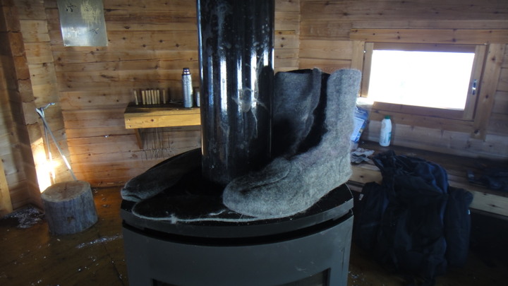
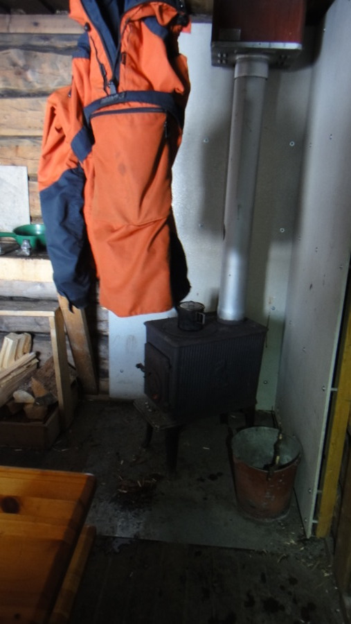
Drying inners on the stove
DSC02385.JPG


Breakfast companions
DSC02390.JPG

DSC02399.JPG

DSC02391.JPG


Frozen sleeping bag
DSC02401.JPG


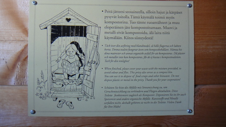
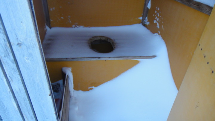
Khazi multilingual instructions
DSC02402.JPG


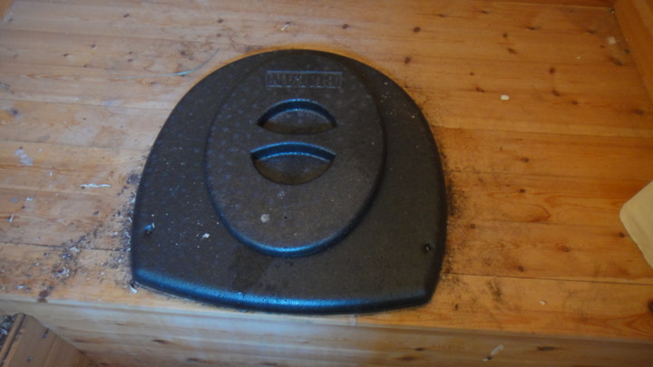
Polystyrene khazi seat
DSC02403.JPG


Another day in (snowmobile) paradise
DSC02408.JPG


The most ignored sign in Finland
DSC02409.JPG


Back to the church (back of shot)
DSC02411.JPG


Brew time (isn't it always?)
DSC02412.JPG


Happy, smiley person
DSC02414.JPG


Highwayman holds up laavu
DSC02415.JPG


Appologies for having something strapped to the outside of my rucksack!
DSC02418.JPG


Yet another reindeer
DSC02421.JPG


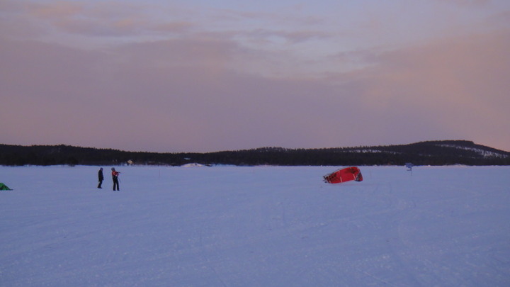
Kite skiing on the lake
DSC02422.JPG


Wednesday's tracking data
wednesday%20tracker.jpg
 
Last edited:
Imagedude

Bushcrafter (boy, I've got a lot to say!)
Feb 24, 2011
2,005
46
Gwynedd
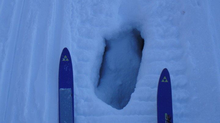
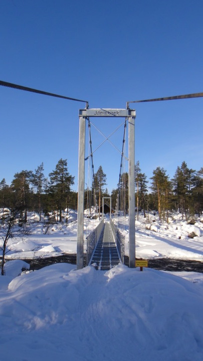
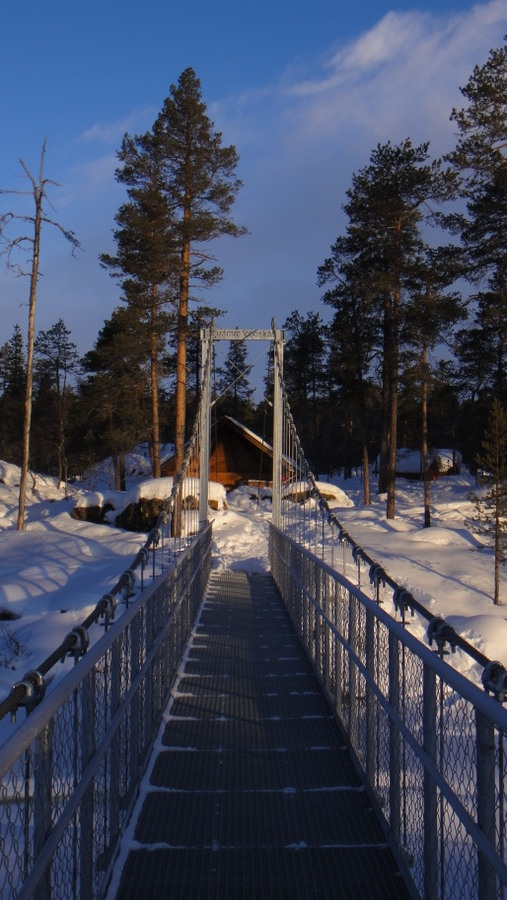
Thursday morning and the start of 5 days/4 nights out in the wilds. I was somewhat disillusioned with travelling on the lake so I decided that I'd spend my remaining time in the woods. I headed east along the river following the skiing track. I had also collected all of my kit from the hotel plus 2 litres of Marinol from the supermarket so I was carrying about 30kg. The skiing track was surprisingly close to the river, if I fell over and fell to my right I'd be getting wet! At one place along the track you could see down into the river through a hole in the track. I was not planning to go far, just 4km to the hanging bridge and laavu at Janiskoski. The journey took about 4 hours and I arrived at my destination just after 1PM.

Tracking data for Thursday 7th March
7%20march_1.jpg


Map of area
Hiking%20map%20west004.jpg


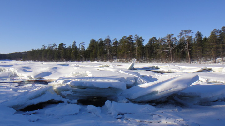
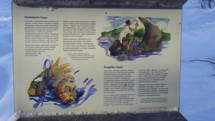
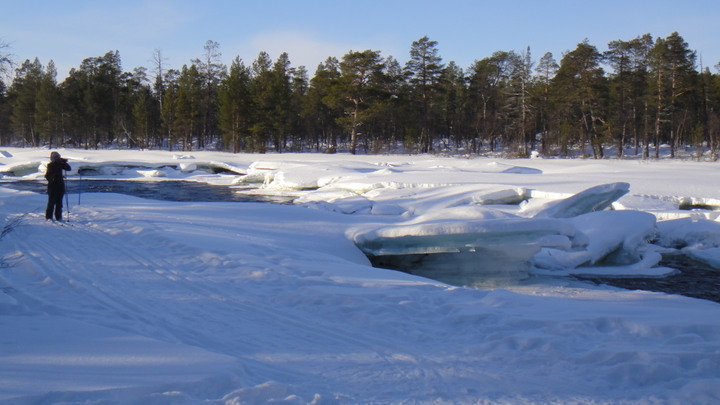
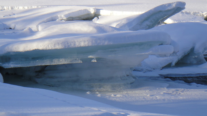
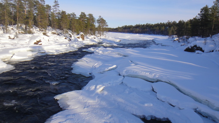
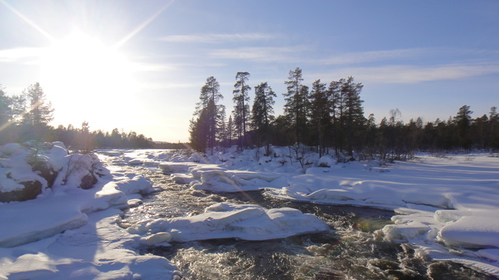
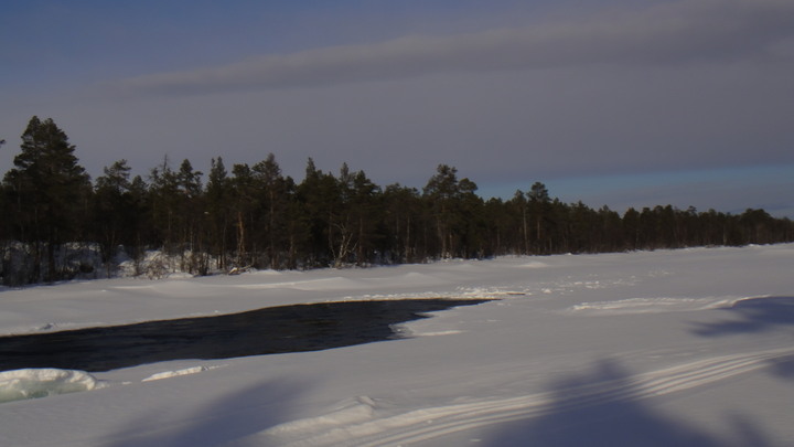
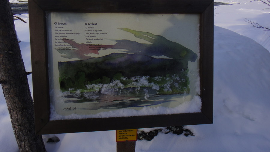
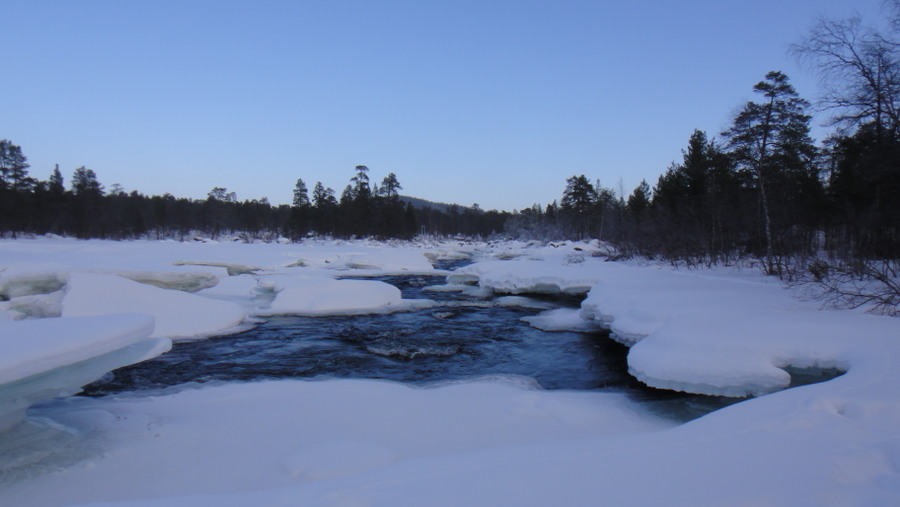
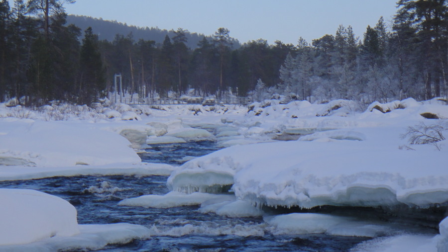
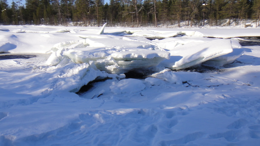
The river ice was over a metre thick but was not crossable as it was broken into large lumps. In places the river looked crossable but I'd rather not take the chance and anyway, the hanging bridge featured heavily in the area's promotional material so it would be a shame not to use it. The journey was uneventful apart from meeting a few other people and one of the highlights of the trip, seeing a flock of waxwing in the forest. The only other birds seen were great tits, a dipper, ravens and crows. Another highlight of the journey was a series of storyboards along the trail, sadly there was no English translation.
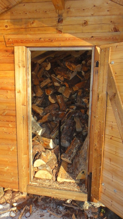
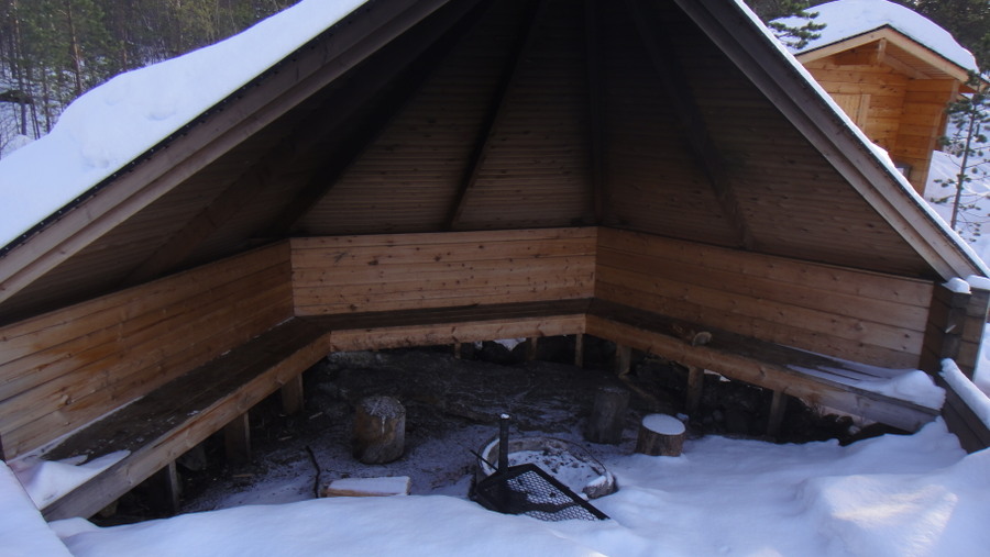
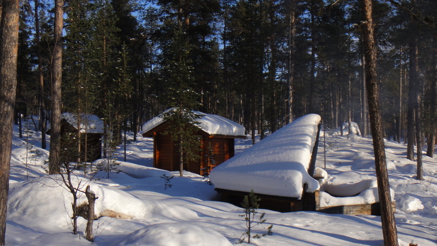
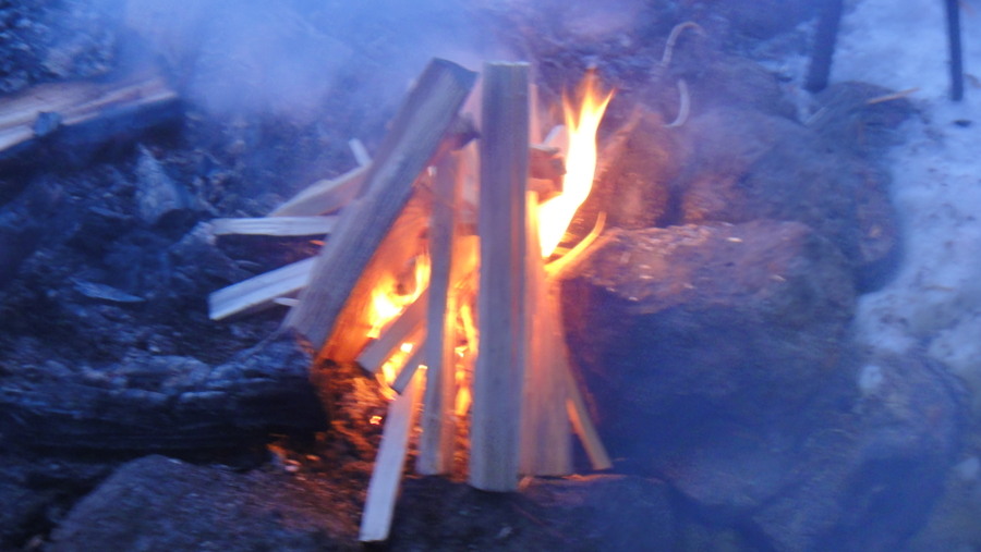
So, after crossing the bridge to the laavu I decided that I'd sleep in the laavu rather than pitch my tent. There was little sign of activity in the area other than a few snowshoe prints and the laavu, including the firepit, was covered in snow . Initial inspection of the area revealed that the woodstore was full and the toilets empty, infact all laavus and day trip huts visited were well stocked. After I'd had a brew a fire was lit and I noted that it had little or no effect on the temperature but once it went dark the illumination was much appreciated. I'm sure a large 'white man' fire would have provided more heat but I only had two four inch diameter logs burning at any one time. Building a large fire just for my amusement and a little extra heat would have a little rude and wasteful in my opinion.

River ice near roadbridge at Inari
DSC02428.JPG


River looks crossable but would you risk it?
DSC02429.JPG


Pothole in ski track
DSC02430.JPG


Someone's pride and joy

DSC02431.JPG


Storyboard (click for full size)


Another skiier photographing the river
DSC02434.JPG


Metre thick ice
DSC02435.JPG


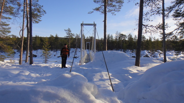
Looking across the bridge to the laavu
DSC024371.JPG


View of river from bridge
DSC02438.JPG

DSC02439.JPG


Woodstore
DSC024401.JPG


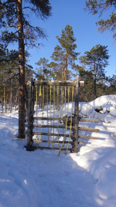
A common type of gate, the ropes are to help you climb over (I think)
DSC024411.JPG


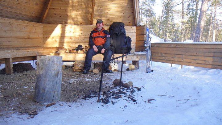
Yours truly in the laavu

DSC02444.JPG


View from the laavu
DSC02445.JPG


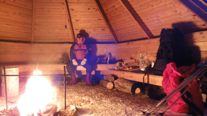
Watching the nearby bridge dissapear from site as it went dark was slightly bizzare. I was expecting people to suddenly appear from over the bridge but no-one followed me along the trail. And anyway the bridge was quite noisy to cross so I would probably hear someone (or something) crossing before I saw them. I felt reasonably cold for the first time, perhaps because I'd had an easy day. For the first time I put my neoprene overboots on and wore my big duvet rather than the thin one. I was never paricularly warm in the laavu despite wearing dry underwear and my heavy insulation layers. Trying to get as warm as possible I had a full meal of pasta followed by pudding and a few chocolate bars and flapjacks. Large flapjacks and a soup formed my daytime meal. The evening meal was always a large, hot meal. Eventually after eating and rehydrating I started to feel warmer. My spirits were also lifted by what I thought was a display of Northern Lights in red. I then realised I was facing south and watching the red navigation light on a huge telecom mast which was glowing in the low clouds. My ration packs also had two hot chocolate sachets per day and this was agreat way to end the day along with a few frozen Milky Way bars.

A piece of fatwood bursts into flames
DSC02446.JPG


View of bridge from laavu
DSC02447.JPG


Today's tracks
DSC02442.JPG


Friday started with the usual 2 hour drill of lighting a fire, melting snow, filling my flask, cooking breakfast, brewing up, packing up and breaking camp. Again I only travelled a short distance as I wanted to spend some time skiing without a large pack. I travelled to the next laavu (called Laurin Laavu) via the hiking path so progress was fairly slow but I still arived before midday. Once the usually checks of the woodstore etc were complete I stowed my rucksack and prepared to visit the next laavu on skiis. As I was leaving a group of about six people arrived but I decided that they were unlikely to nick my kit so I set off anyway. I crossed the river to the ski track via an unofficial crossing point. It was not marked with navigation poles but there were numerous other snowmobile and ski tracks so I took a chance. The ski track took a long winded route to the next laava and for good reason. The river in this area has numerous rapids and these rapids cause weakness in the ice. These lines of weakness get covered in snow and the river looks safe to cross but is in reality very dangerous. As I followed the marked path the remainder of the journey was uneventful. The next laavu was built to the standard pattern anbd the the route had more of the story board info points along the way. I returned along the same route and spent the rest of the day watching reindeer and doing my usual camp chores. I was joined at one point by an elderly couple on snowshoes. They had their dinner in my laavu then returned they way they came. A few other people on snowshoes passed the laavu, probably locals as they had no rucksacks with them. The last of the daytripers left at about 6pm and I had the forest to myself again. The rest of the night was passed by shoveling snow out of the laavu, brewing up and watching camp TV.

View of laavu at sunrise
DSC0245011.JPG


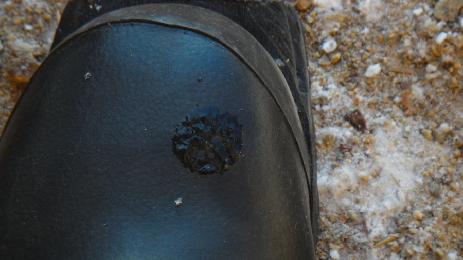
Frozen snot on boot

DSC02451.JPG


Laurin Laavu, full of snow

DSC02453.JPG


View from laavu
DSC024551.JPG


Skiing to next laavu (at Ritakoski)
DSC02458.JPG


I had to ski around this part of the river rather than try to cross it because...
DSC02460.JPG


...it's difficult to know where the good ice finishes and the river begins.
DSC02461.JPG


Riverside storyboard (click for fullsize)


Laavu at Ritakoski
DSC02464.JPG


Then back down the track to my laavu
DSC02467.JPG


Finnish type axe at woodstore

DSC02466.JPG


Friday's tracking data
8%20march_1.jpg


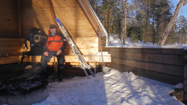
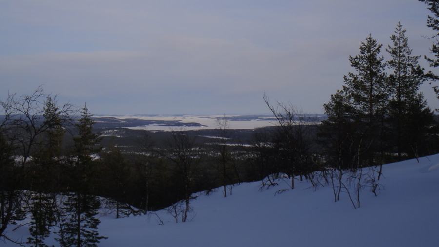
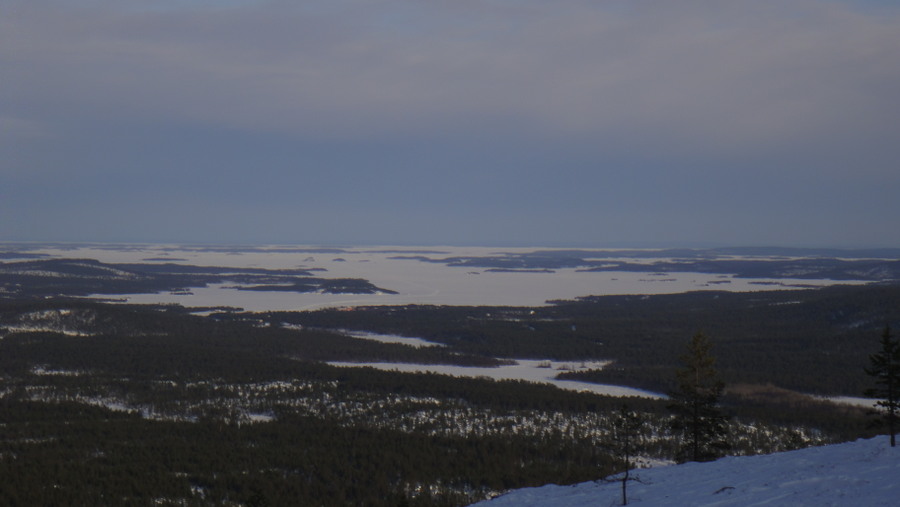
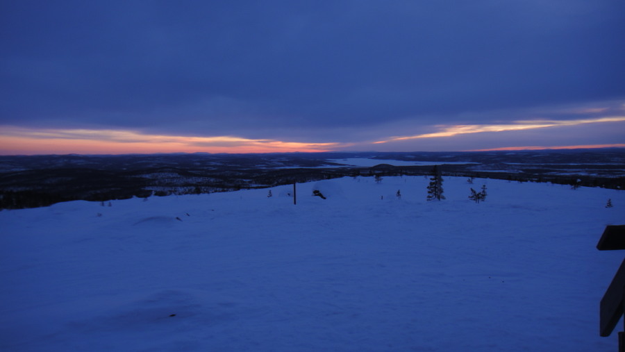
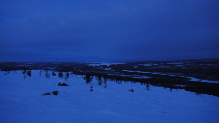
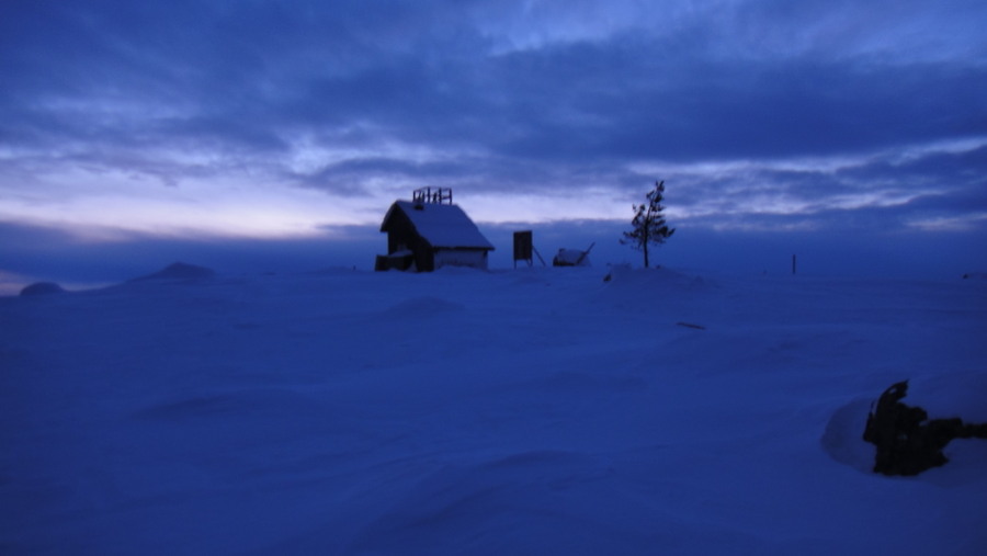
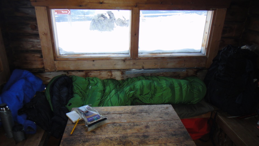
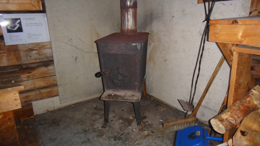
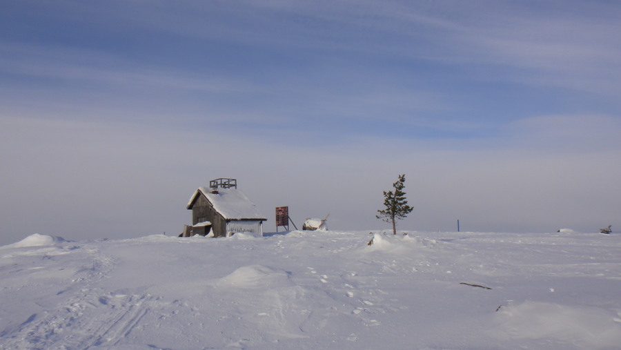
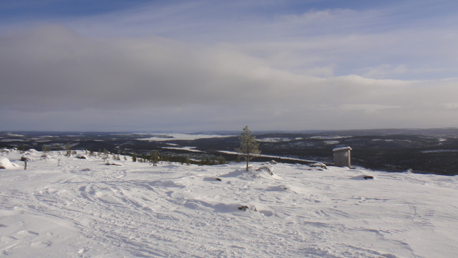
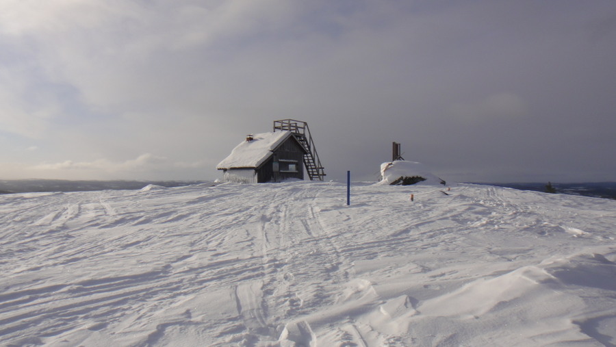
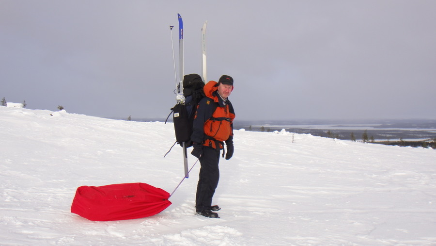
Saturday was another fine day. I decided that I'd travel west to Otsamo which is the highest hill in the area at 419 metres, not very high but by far the highest point in the area. I could travel 4.5k on the hiking path or head east to pick up the skiing track and then travel another 6.5k on skiis. I chose the hiking path because it had recently been used by snowshoers and last nights temperature of -22C should of helped to firm up the track. The going for the first 3k was OK but after that I started sinking up to my waist in powder snow. I was now wishing that I'd taken the longer ski track. There was a small compensation for taking the hiking route, I stumbled across a group of herders and their large flock of reindeer. The last kilometre along the hiking route was a steepish climb up the hill and this was proving to be impossible in the powder snow. Looking at the map I saw that the ski track was only about 400 metres to the north so I put my skiis on and prepared to ski through the powder. I first emptied some of the contents of my rucksack into my tote sack, I was going to use it as an improvised pulk. There was no way I'd be able to ski with a full pack, dragging the pulk would be easier. I also had some glucose powder drink as I was now exhausted. I'd been travelling no-stop for over 5 hours and had covered only 4km! Travelling the 400m north through the powder took another hour, I was delighted to eventually find the ski track. The track was not perfectly maintained by was perfectly useable. Another hour and a half saw me finish the last 1.5k to the top. I had considered giving up many times but once I reached the top I knew that this would be the best day of the trip. The view from the old firewarden's watch tower allowed me to see Sweden, Norway and probably Russia too. I had a fantastic red sunset over the mountains of Norway but sadly, no lights tonight. The day trip hut (the old watchtower) was about 8' square inside and was fitted with a wood stove, propane cooker, table and chair. There was the usual external wood store and crapper. Once inside the first thing to do was get the woodstove going and also make a brew. As your only supposed to stay overnight in the hut in exceptional circumstances I decided that my circumstances were exceptional. Once I'd finished my brew I went outside to the woodstore to prepare a night's supply of wood. The evening was spent reading the multilingual/multinational visitor's book, running the fire, listening to the howling wind, brewing up and eating chocolate. Running the fire carefully I raised the internal temperature from -14 to a tropical +12 before retiring to my makeshift bed.

Even a herd of reindeer can be difficult to spot

DSC02469.JPG


The path I plowed through the snow
DSC024701.JPG


Skiis emerging from their snowy grave
DSC02471.JPG


Finally reached the ski track, all kit removed for a breather
DSC024731.JPG


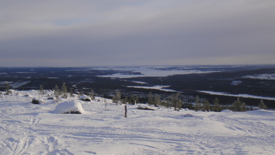
Lake Inari from Otsamo, the 3 little islands centre of frame are 11km from the shore

DSC02474.JPG


Lake Inari and the river I've been camping alongside
DSC02479.JPG


Panoramic view
DSC02484_1.JPG


Looking west to Norway
DSC02486.JPG


Bright lights, big city..
DSC02487.JPG


Bob's house

DSC02488.JPG


Bob's bed
DSC02492.JPG


Jotul stove
DSC02493.JPG


The kitchen
DSC02494.JPG


My **** bottle and I on the Sunday morning (obviously dehydrated after a hard day)
DSC02495.JPG


Log book, click for full size


Tracking data Saturday 9th March

9%20march_1.jpg


Sunday was another lazy day with a lie in until 0800. I was in no rush to leave as this was a truly special location. Breakfast was made once the stove was relit and I had the joy of warming my day clothes on the hut's drying rack before getting changed out of my night clothes. After breakfast I chopped some firewood for the next occupants. At this time of year there was an entry made in the visitor's book every day or two so leaving some kindling and finely chopped wood seemed to be the right thing to do. Infact leaving a supply of prepared wood is mentioned in the instructions for hut usage but I never found any chopped wood except in one hut.
The rest of the morning was spent exploring around the hut, it seems to be a popular place with reindeer, don't reindeer produce such small turds for such a large animal!
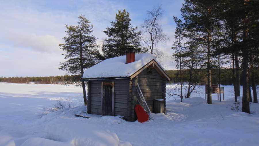
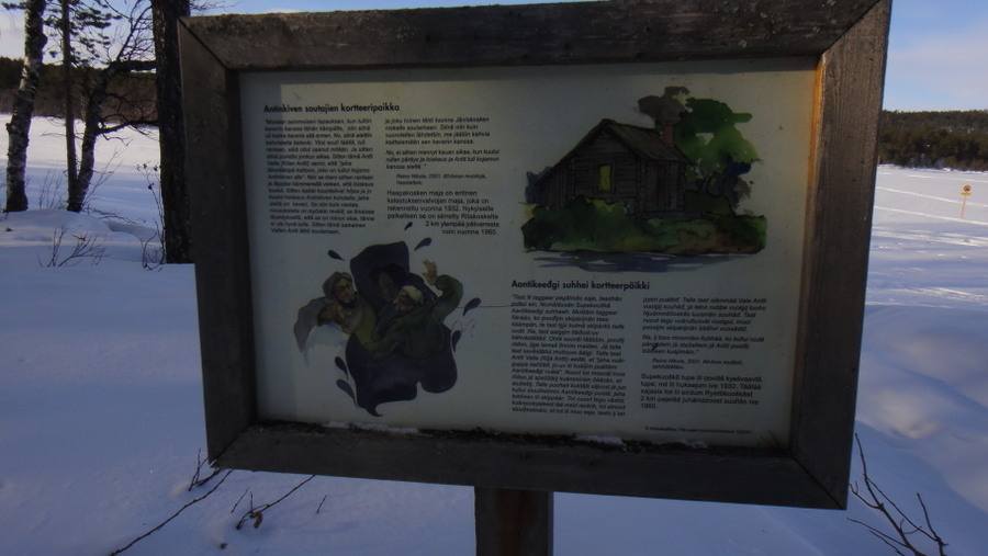
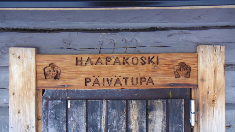
Anyway, once I'd made use of the snowed in longdrop and finally run out of reasons to hang around I set of back to Laurin Laavu via the ski track. On the way I visited another day trip hut along the river at Haapakoski. This small hut is similar to the hut I slept in last night, I wish I could find a similar cabin to rent next winter. I spent most of the day at this hut and saw one other person. In the hut I lit a fire, brewed up and dried my clothes but most of the time was spent with the maps out planning my return. Before dark I returned to Laurin Laavu, lit another fire and performed the usual night time administration.

Frozen tree on Otsamo
DSC02496.JPG


It's enough to put your clement's into hibernation...

DSC02498.JPG


Daytime view of hut

DSC02505_1.JPG


Lake Inari and its feeder river - Juutuanjoki. My homes for the fortnight.

DSC02500.JPG


Looking north to where I did the dog sledding.
DSC02501.JPG


Looking west
DSC025021.JPG


Windows on the Otsamo hut

DSC02503.JPG


View from the crapper as I tried to defrost my **** from the khazi seat
DSC02504.JPG


View of the long walk to the khazi from the hut
DSC02509.JPG


Another view of the hut
DSC02512.JPG


Setting off from Otsamo hut
DSC02515_1.JPG


Moomin land
DSC02516.JPG


Today's animal track
DSC02517.JPG


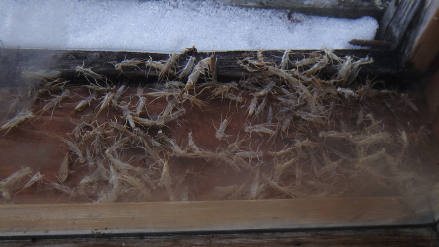
Bugs trapped in the glazing at the hut at Haapakoski
DSC02518.JPG


Drying kit by the fire
DSC025201.JPG


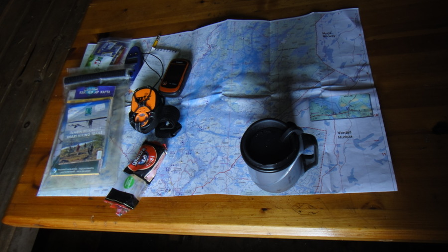
Planning my return
DSC02522.JPG


Haapokoski day trip hut
DSC02527.JPG


Another story board, click for full size..


Built in '32
DSC02530.JPG


Looking back at Otsamo, it's higher than it looks
DSC02531.JPG


Setting off for Laurin Laavu before sunset

DSC02533.JPG


A common sight
DSC02534.JPG


Another person skiing past!
DSC02535.JPG


Another story board


Lighting a fire with tinder card
DSC02541.JPG


3 minutes later...
DSC02542.JPG


Sunday's tracking data
10%20march_1.jpg


Monday was another fine day which was a shame as I wanted to experience some bad weather. Nothing much to report, usual breakfast routine followed by trip back to town. Once in town I found a room for the night then sorted my kit out. Went out for a pizza but was too tired for beer, and that's a rare event indeed!

Drying kit by the fire
DSC02543.JPG


-21C rated bag, just about warm enough
DSC025441.JPG


Toasting forks
DSC02546.JPG


Final photos of the return to Inari

DSC02551.JPG


DSC02552.JPG


DSC02553.JPG


DSC02554.JPG


DSC02555.JPG


DSC025561.JPG


Today's animal track...
DSC025571.JPG


Pram
DSC02558.JPG


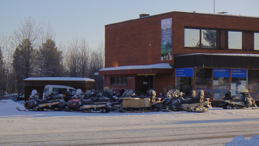
Skidoo tours
DSC02559.JPG


After breakfast on Tuesday the hotel owner had arranged for a taxi to take me to the airport so no need to mess about with busses. The taxi was due to be travelling back empty after making a drop so I only paid 20€ for a 45km journey. Normal rates are 8€ + 1.7€ per km. After an uneventful couple of flights I was back in Heathrow, a short bus ride from my southern digs.

DSC02561.JPG


DSC02562.JPG


For the kit monkies
What worked:

Listerine mouthwash - didn't freeze all week!
Tindercard
Woolpower thermals
Sub Zero Polymide thermals
Primus firesteel
Evernew stove and pot
Wide neck **** bottle
Paramo clothing
Thermarest Neoair All-Season
Army closed cell kip mat
Rab Generator smock
Rab Jannu duvet
1 litre flask
Montane pile mitts
Goatskin rigger gloves (soaked in waterproofing)
Insulated mug
Mora Robust knife
Mountain cap
Titanium spoon
Garmin GPS
Spot2 tracker
Mountainhouse food

What was OKish
PHD Baltoro 800 sleeping bag - needed something warmer
Lundhags Husky boots - at their limit
Rab photon insulated trousers - OK but heavy
Blackhawk rigger belt
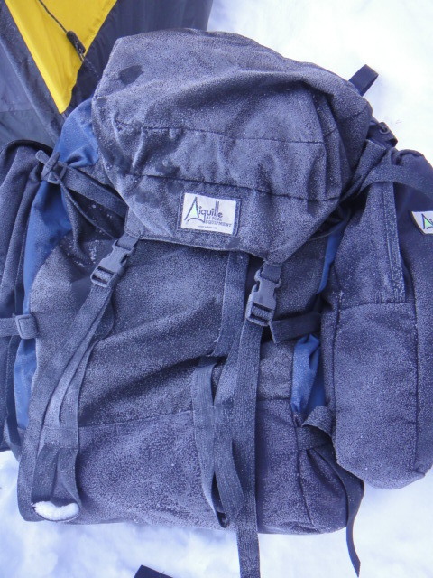
Aiguille Expedition sack, great on solid ground but on snow it is impossible to set up to take weight off the shoulders, the waist belt is too well padded.
Rab Survival Lite bivi bag - not really needed
SealSkin waterproof gloves
Cable ski bindings
Neoprene overboots
Petzl headtorch - need a belt version for better battey life

What didn't work
Rab Latok bivi tent, too extreme for these conditions, in heavy snow it would of excelled.
Merino undercrackers - a bit 'cheap hotel'

Not used

Buff Hoodie
Buffalo mitts - replaced with the heavier duty Montane version
Swiss Army Knife
SOG Powerpliers
First Aid Kit
Silnylon Tarp


End.
 
Last edited:
Teepee

Bushcrafter (boy, I've got a lot to say!)
Jan 15, 2010
4,115
5
Northamptonshire
Great stuff Bob :)

They took your lighters?! :aargh4: :nutkick: I'm glad I wrap mine in gaffer tape and take them in the flask.
Love that balaclava.
More, more..............
 

Andy BB

Full Member
Apr 19, 2010
3,290
3
Hampshire
They removed lighters from Hold luggage? Thats a first for me!

Excellent start Bob - keep it up! Love the pic of the road-sign in the middle of the lake!
 

Red Fox

Full Member
Dec 31, 2012
457
1
Cheshire
Very good bob i like the museum picturis especialy the lavu looks like you had a amazing artic adventure thanks for sharing.
 

addo

Bushcrafter (boy, I've got a lot to say!)
Feb 8, 2006
2,485
9
Derbyshire
Great stuff sounds like you have moved about a bit. Its funny what they take in customs. I had two karabinas on the front straps of my main pack when I went to Norway, to strap on my day sack. One went missing on the way out. One on the way back. Bet it was the same bu..er.
Onion brew lol
 

Ivanhoe

Forager
Aug 28, 2011
173
42
Sweden
jumping0026.gif
jumping0026.gif
jumping0026.gif
Aaaaaargh! I can't wait for the rest!


Bob, you are a hero!
I will name my first borne, if there is one, after you!


:)
 

BCUK Shop

We have a a number of knives, T-Shirts and other items for sale.

SHOP HERE