Backstory: I've got a bad back as some of you have seen on here already. Did a lot of portaging this summer with my canoe, with a pack with no back support, and pushed myself too far. Since then I've been to a bit of physiotherapy and trying to be more active. After living away for almost 3 years, I finally quit my job, moved home to St. John's, Newfoundland, and got married. Trying to eat better and be more active (and find a new job).
So, I ordered myself a proper pack with an internal frame (not here yet) and have focused on hiking, and hopefully planning on doing some cold weather camping this year. So far I've bee trying to hit up the east coast trail here every weekend.
Today, despite some inclement weather (8 - 10 C with 3-4mm of rain) my friends Marek and I hit up the section called Cobblers Path near Outer Cove and Logy Bay. A relatively short hike that I haven't done yet. Hiked out to Torbay Point for some nice scenery and then back down the trail. You can see our hike on google maps here thanks to the app My Tracks on my phone (seems to be something weird going on with the gps coords on the point, not showing on the phone).
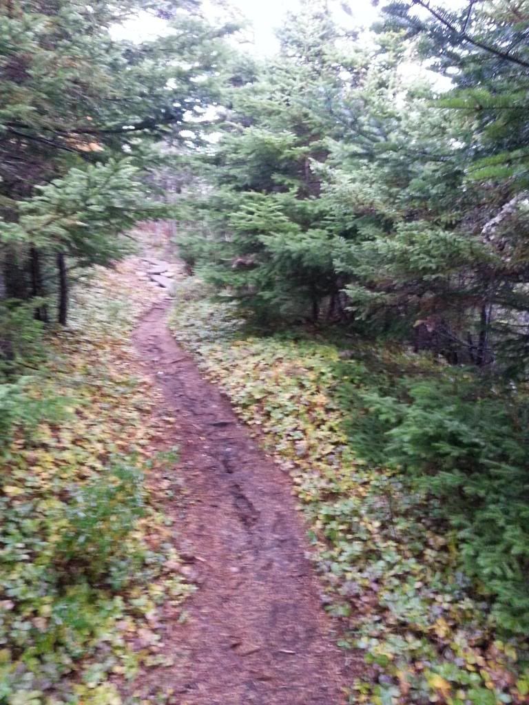
Anyway, the rain was on and off but never heavy, the wind was low, and the temperature was just fine especially with all the uphill we were doing. Forgot to take some pics in the beginning, but after the first climb and return to sea level at Cobblers brook we got some.
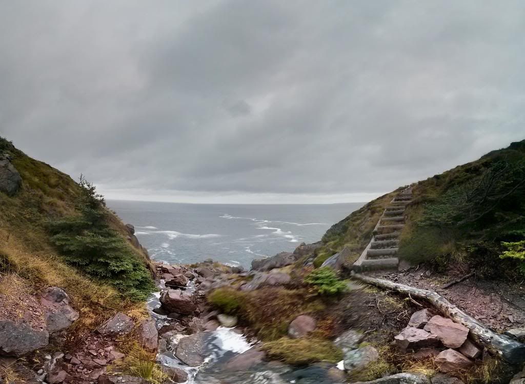
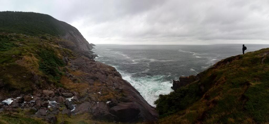
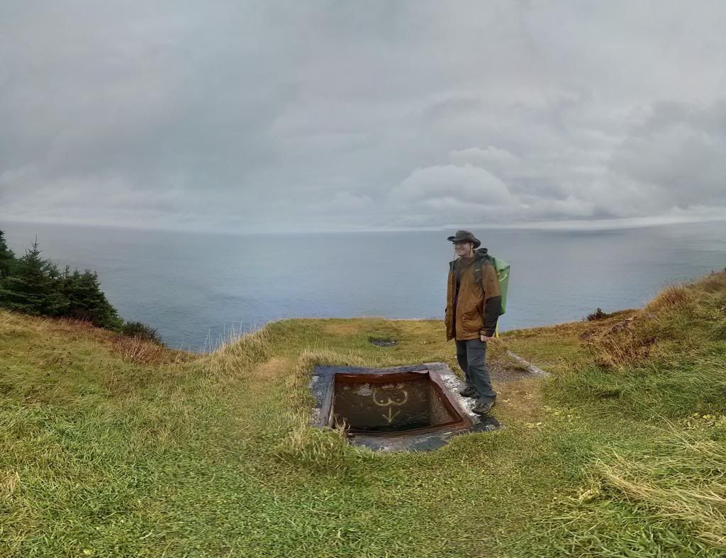
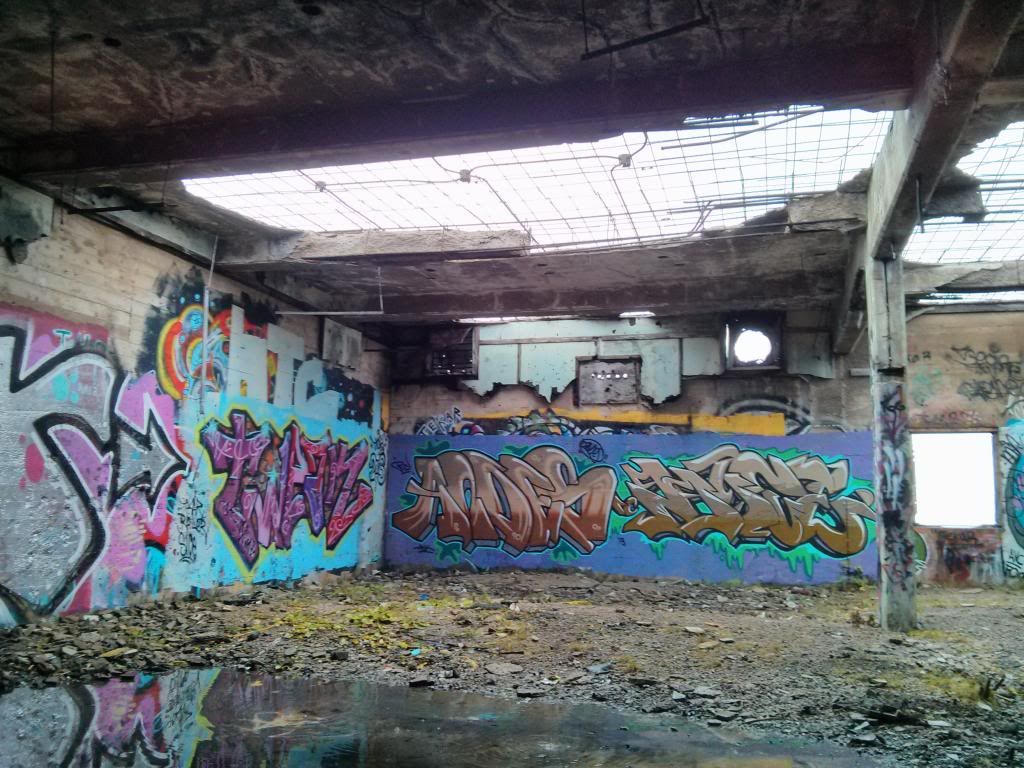
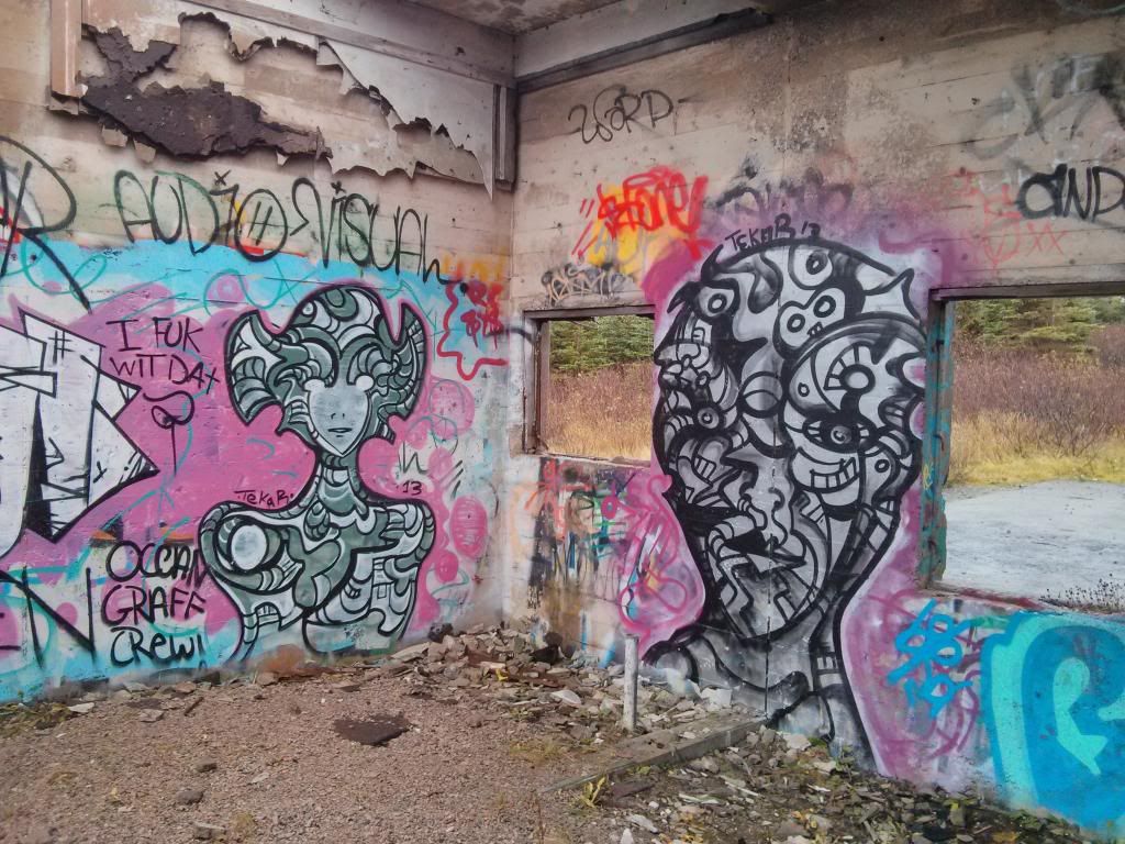
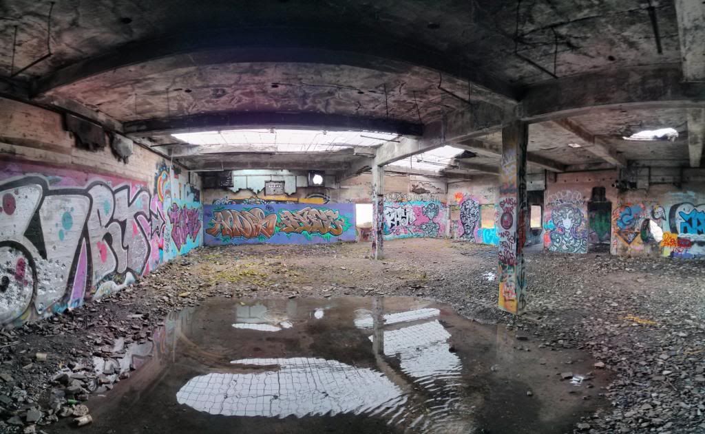
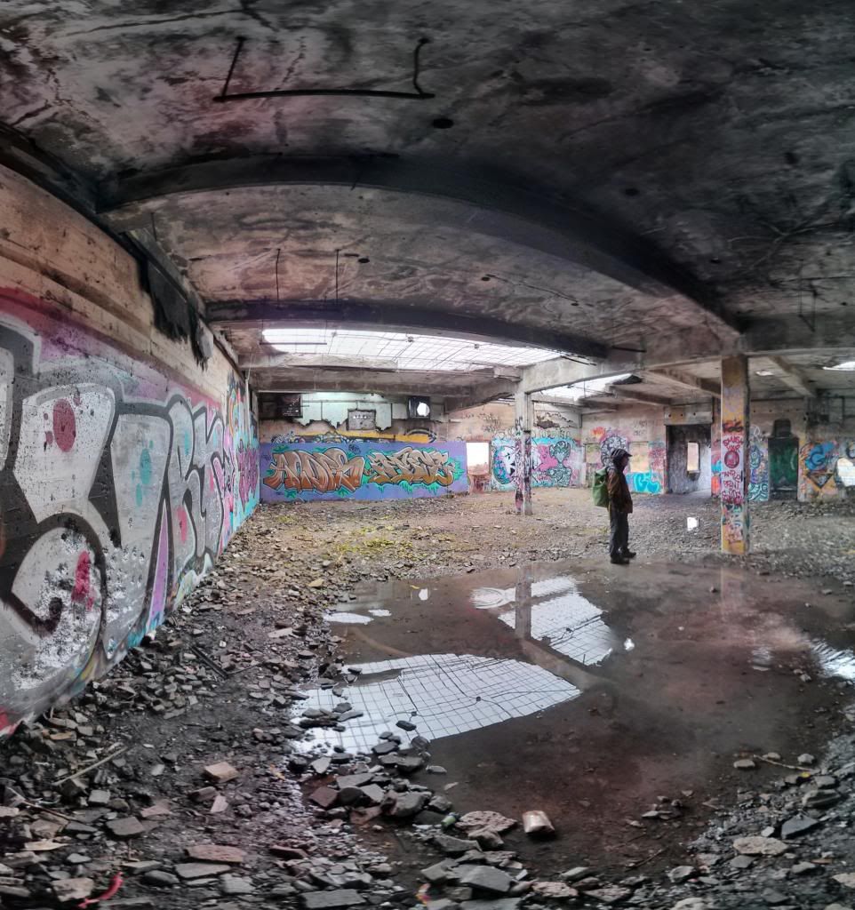
From there we hiked up another big incline up to an old abandoned WWII battery and Red Cliff Radar Station which is of course covered in graffiti and used by youth as a drinking spot.
I'm not smiling here because of the vandalism which was out of my sight line.
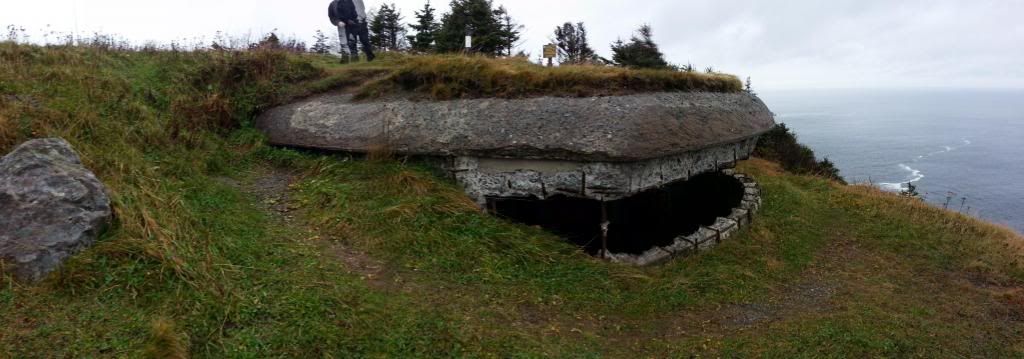
At the main radar site we came across a fire truck, ambulance, and a group of guys dressed up in military looking gear and a bunch of air soft rifles. The fireman said they were there because a hiker had been injured, but I didn't see any other hikers. They had been there a while as I saw the red lights flashing from the distance. There is an access road that goes up to the station and that is how they got up there with the trucks.
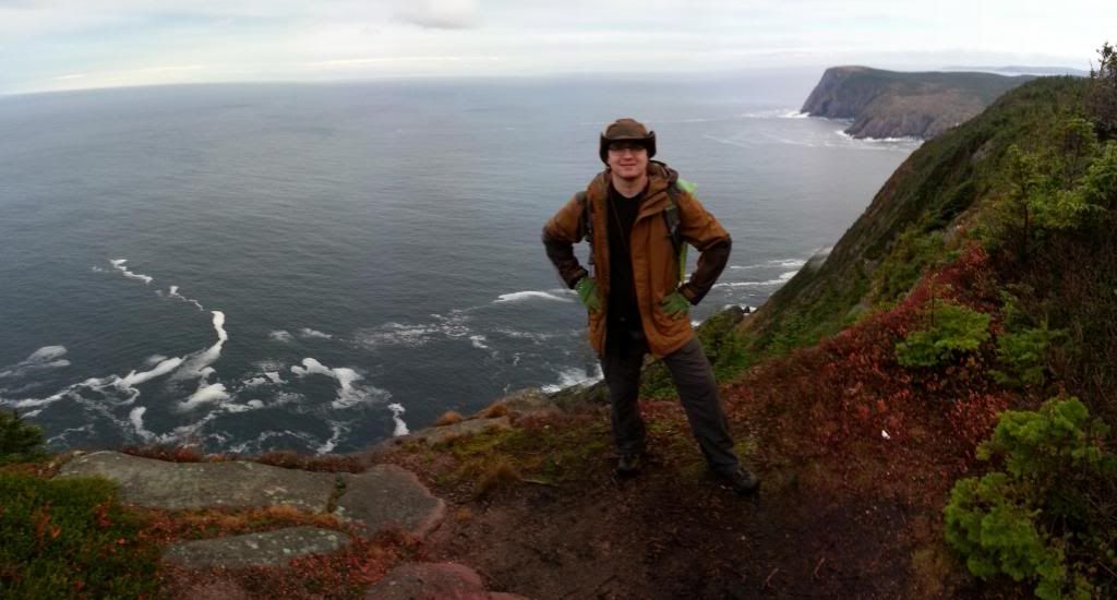
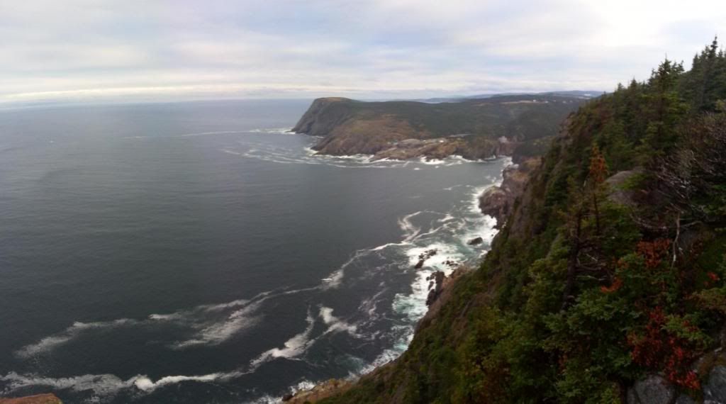
We continued along the trail to a beautiful view point where we stopped and had a brew and a snack.
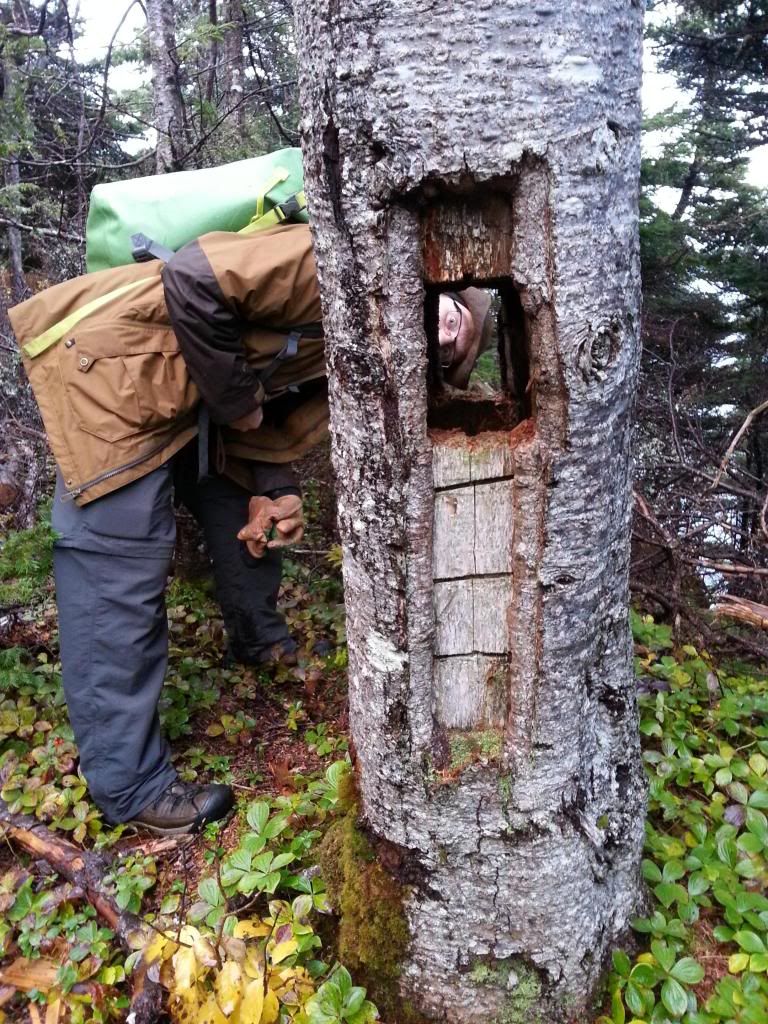
Here's me
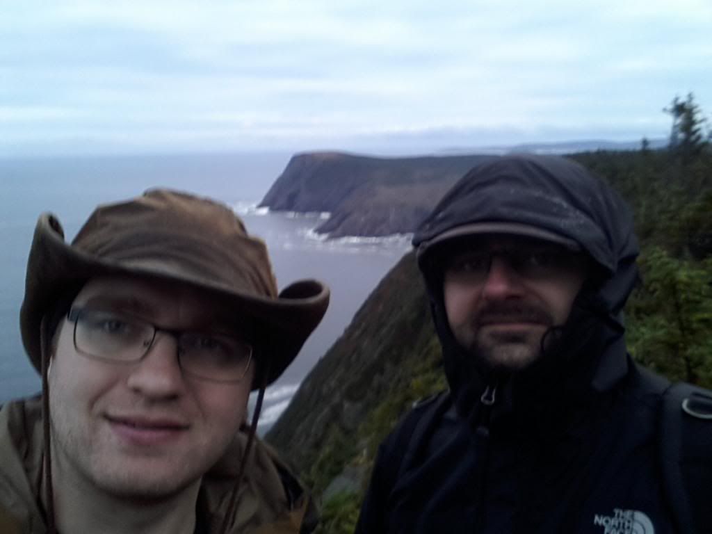
and me and my friend Marek.
The view
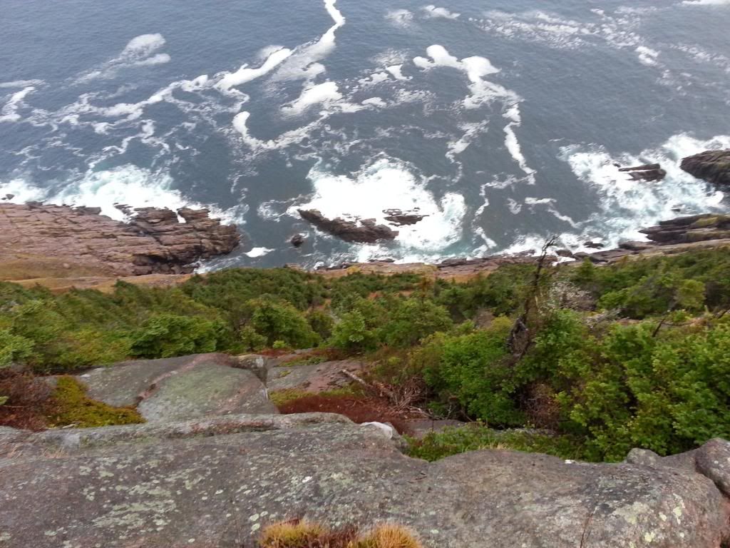
We continued on a little further until the trail ended with a big fence and a private property sign. So we turned back and head back to the radar station to take an old path back to the road for my wife to pick us back up. It was a grand day, and I really enjoyed my walk and brew in the woods.
So, I ordered myself a proper pack with an internal frame (not here yet) and have focused on hiking, and hopefully planning on doing some cold weather camping this year. So far I've bee trying to hit up the east coast trail here every weekend.
Today, despite some inclement weather (8 - 10 C with 3-4mm of rain) my friends Marek and I hit up the section called Cobblers Path near Outer Cove and Logy Bay. A relatively short hike that I haven't done yet. Hiked out to Torbay Point for some nice scenery and then back down the trail. You can see our hike on google maps here thanks to the app My Tracks on my phone (seems to be something weird going on with the gps coords on the point, not showing on the phone).
Anyway, the rain was on and off but never heavy, the wind was low, and the temperature was just fine especially with all the uphill we were doing. Forgot to take some pics in the beginning, but after the first climb and return to sea level at Cobblers brook we got some.


From there we hiked up another big incline up to an old abandoned WWII battery and Red Cliff Radar Station which is of course covered in graffiti and used by youth as a drinking spot.
I'm not smiling here because of the vandalism which was out of my sight line.


At the main radar site we came across a fire truck, ambulance, and a group of guys dressed up in military looking gear and a bunch of air soft rifles. The fireman said they were there because a hiker had been injured, but I didn't see any other hikers. They had been there a while as I saw the red lights flashing from the distance. There is an access road that goes up to the station and that is how they got up there with the trucks.
We continued along the trail to a beautiful view point where we stopped and had a brew and a snack.
Here's me

and me and my friend Marek.

The view


We continued on a little further until the trail ended with a big fence and a private property sign. So we turned back and head back to the radar station to take an old path back to the road for my wife to pick us back up. It was a grand day, and I really enjoyed my walk and brew in the woods.


