Map cases

  • Hey Guest, Early bird pricing on the Summer Moot (29th July - 10th August) available until April 6th, we'd love you to come. PLEASE CLICK HERE to early bird price and get more information.

Tiley

Life Member
Oct 19, 2006
2,364
374
60
Gloucestershire
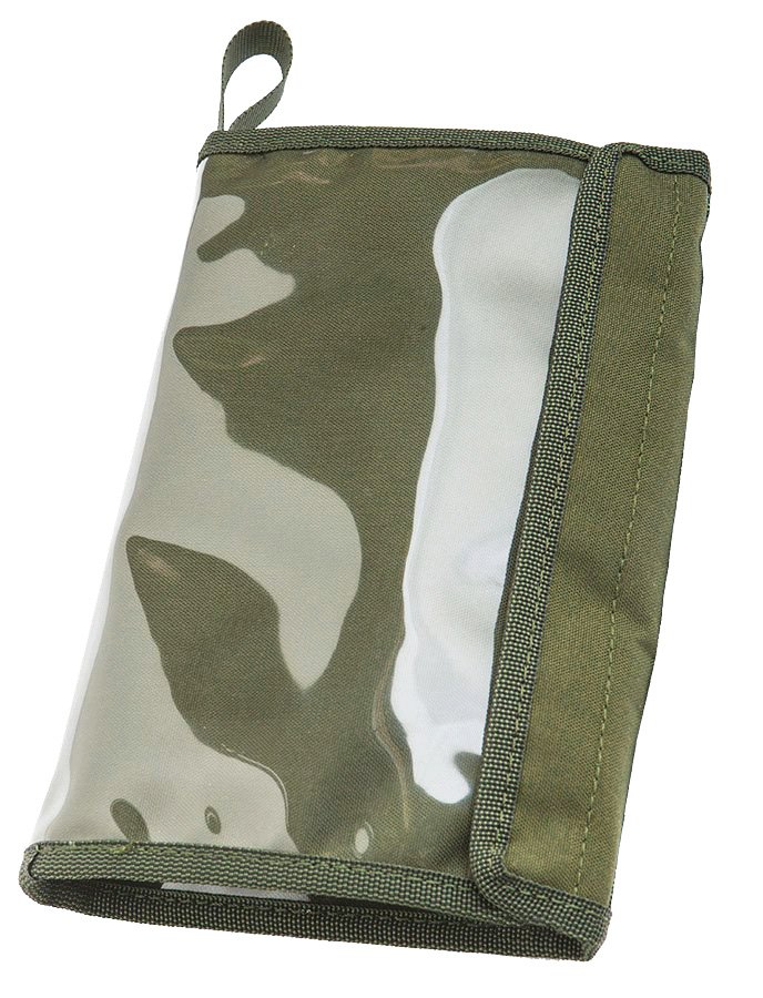
I admit that the concept is 'old school' but I only ever head out to the wilds with map and compass. Inevitably, when using paper maps in traditionally indifferent British weather, I need to keep the map dry. I have tried a number of different map cases, most of which have been waterproof but all of which have been generally too big and unwieldy. I do like to have access to the map when out and have tended to try ones with a strap/cord which I then sling over one shoulder; I realise that this can add to complications, like being throttled by the cord when its windy, but it does give me access when I need to check where I am. So, the question is this: does anyone here have an easy, elegant and practical solution to carrying paper maps - and keeping them dry - in foul weather?

Any help or suggestions will be most gratefully received!
 

Van-Wild

Full Member
Feb 17, 2018
1,400
1,221
44
UK
I trim the map down, fold it in half and then use fablon to waterproof it.

I always carry the folded map inside my jacket, and pull it out if I need it.

Prior to going anywhere I make up a little route card with grids, distance between points, bearing and layout of the terrain on it. With this I can quickly use as a reference without using the map all the time....


Sent from my SM-G970F using Tapatalk
 

gra_farmer

Full Member
Mar 29, 2016
1,800
1,019
Kent
Surprisingly I just found my old one that I have used for years, it is compact, has 2 pockets for compasses, etc. It is a cord one, but adaptable for belt carry as it has eyelets.

The only issue is that you have to fold the map just right to get it in, but easy to do, just not quick.

I will find it, take a picture and seen if there are any brand makings?
 

Chainsaw

Native
Jul 23, 2007
1,377
144
56
Central Scotland
I print a bunch of maps different magnifications/sizes that I may need onto waterproof paper on my laser printer. Apologies for referencing another forum but review here. Soggy maps are one of my pet hates. Game changer for me!
 
  • Like
Reactions: Toddy

Robson Valley

Full Member
Nov 24, 2014
9,959
2,664
McBride, BC
Map and compass on the Churchill River, the original transport corridor for the Hudson's Bay furtrading company in western Canada. No GPS in the 1960's and 1970's.
As a family outing every summer for many years, it was my brother's job to prepare the maps.
Photocopies, never the originals, in Ziplok food bags. Water colored with blue pencil.
You learn a lot about the lay of the land and water by coloring a map copy.
Everybody had a compass, everybody had a complete set of maps, usually 1:50,000.

I lived there for months off the grid and 40+ miles from the nearest road.
Multiple map photocopies could be sacrificed through misadventure.
The damn seals on the bags were the weak point.
 

mark

Forager
Dec 26, 2007
125
3
57
Stirlingshire
I have used the Ortlieb A5 Document/Map case for many years, summer, winter, UK and abroad, just the right size to put in a jacket pocket, or use the cord to attach to your rucksack shoulder strap and store it under the strap when not in use. Previously, I used an A4 plastic bag tucked inside the map and then folded in half.
 

TinkyPete

Full Member
Sep 4, 2009
1,966
191
uk mainly in the Midlands though
The one which was recommended to me on my old mapric course was the orlieb map case or any of their document holders which there are a variety of sizes. I have been using mine for over 20 years now, and i find them very good and keep the maps dry.
 
  • Like
Reactions: Thoth

Oliver G

Full Member
Sep 15, 2012
392
286
Ravenstone, Leicestershire
Make sure to take off the orange cover for the OS maps (My wife cringes when I disfigure a map so) then stuff it in an ortleib map case. I've taken off the strap and just have a split ring on it. The map case folds in half nicely in the case and fits either in the zippy chest pockets of your smock or in the thigh (map) pocket of your trousers. I then use a bit of cord lark's footed onto my belt and clipped to the split ring with a mini carabiner. Alternatively, print it from OS maps and stick it in a document wallet with the top taped over, I've yet to have one of those leak.
 
  • Like
Reactions: Thoth

Duggie Bravo

Settler
Jul 27, 2013
532
124
Dewsbury
Rather than carry a map, I tend to print the section I need on A4 paper.

Saves risking a map with the scouts and mean they won’t damage it when marking their route.

Good tip about removing the cover though, especially if you need to carry the full map in case of diversions.

In terms of map cases I have a generic Gelert version, does the job, I also have an old WW2 webbing style one, but that doesn’t get used nowadays.


Sent from my iPhone using Tapatalk
 
Apr 8, 2009
1,165
144
Ashdown Forest
A4 Ortlieb, with map cut to size and logically folded for the route (with generous margins!), eastings/northings highlighted (and written on where they don't naturally fall onto a map fold), then the ortlieb folded into a leg pocket on my trousers, and tied onto the button hole with a bit of cord. The compass then in a waist pocket, with a bit of cord looping it onto a belt loop.
 
  • Like
Reactions: Thoth

Lacedaemonius

Member
Sep 5, 2020
11
7
35
Hertfordshhire
Clear Fablon has always been a go to for me, gives your bottom a headache managing it without air bubbles or creases but certainly worth the patience in the long run in my honest opinion.
 
  • Like
Reactions: Van-Wild

Billy-o

Native
Apr 19, 2018
1,981
975
Canada
I have various map cases, all of which are just fine, even ziplocs work just fine.

One other thing I do though, if I know what the small area is that I need is photograph it and print it off, then use heavy duty clear packing tape to waterproof the paper. I think it is by 3M. Very sticky, thicker than usual transparent packing tape. Bit more expensive than the usual stuff, but the usual stuff doesn't work. It is more flexible and lots cheaper than laminating.

I remember on the hundreds of outdoor pursuits courses I did as a kid, and especially the orienteering ones, OS maps set in fibreglass and resin, on a string. Deadly objects :lol:
 
Last edited:

SCOMAN

Life Member
Dec 31, 2005
2,583
452
53
Perthshire
I have one of these


but I do use an Ortlieb map pouch too.
 

Ogri the trog

Mod
Mod
Apr 29, 2005
7,182
71
60
Mid Wales UK
Clear Fablon has always been a go to for me, gives your bottom a headache managing it without air bubbles or creases but certainly worth the patience in the long run in my honest opinion.
Funny you should say that - I still have a map that I "Fabloned" in about 1985 and apart from one worn through hole, remains readable and useable. At the time we'd iron the map flat, roll the fablon on it, (no air bubbles as the paper was porous) then throw it in a bath of water for a long soak and peel the majority of paper off it.
The result is a map that takes up so little bulk that it can be crumpled into a ball and stuffed into a pocket then roughly withdrawn and pulled flat - from my point of view it far surpasses the double sided waterproof monstrosities being sold these days,
 
  • Like
Reactions: Billy-o

bearbait

Full Member
Another +1 for Ortlieb.

I remove the map cover as soon as I get it and refold the map. I highlight the Eings and Nings (in different colours). I do all of them, not just those on the map border. (I use a regular GPS unit occasionally.) It's also useful for planning. I also pencil in the current year's magnetic variation. Before a hike I try to fold the map (adding lots of new folds!) so that I can complete the route without removing the map from its case - not always possible. Even so I try to minimise the amount of potential refolding whilst out in the wind and rain. The US Army field manual FM21-26, Map Reading, has a short paragraph on making a small cut across the centre of the map to make use and folding easier. Not tried this.

As to carrying the map / case I fold in half and tuck it betwwen my waist and the rucksack shoulder strap. The map case is secured to my pack by the danglystringthing on the map case and a small carabiner on my pack so it a) won't blow away and b) I can just let go of the map case when I'm messing with the compass.
 

Tiley

Life Member
Oct 19, 2006
2,364
374
60
Gloucestershire
Many thanks for all the replies and suggestions! I have not tried the Fablon option but, in the event of another, complete lockdown, I might give it a go. I have tried the OS laminated maps and the work - to a point. Often, the plastic will delaminate on the folds and then wear through pretty quickly; they are also very bulky. I do like the Harveys maps, printed on waterproof paper, though that, too, can fade and wear through on the folds. I might try copying relevant sections on to A4 to preserve the original and lighten the load - something that is important on the kind of multi-day routes I find myself doing and enjoying nowadays.

Again, thank you all for your very useful and helpful suggestions. They are greatly appreciated.
 

BCUK Shop

We have a a number of knives, T-Shirts and other items for sale.

SHOP HERE