Sormlandsleden
Well it had to happen at some point and this was the trip.
Having had two very successful trips to Finland and Norway I figured it was about time to check out Sweden.
My route was taken from this website:
http://www.sormlandsleden.se/Default.aspx?langID=1033
I chose a route heading north from Nykoping to Svarta and built my agenda round that.
Thursday night found me twiddling my thumbs at Stansted Airport awaiting another early flight via a well known Irish airline.
Landing at Skavsta at 9am swedish time I caught a bus to the town centre.
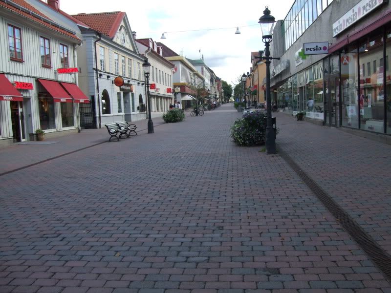
A drop into a few stores to pick up gas, water and local intel from Tourist Information and now to the Trial Head via another bus connection.
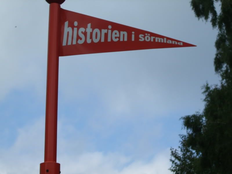
Directions from the website were pretty misleading I found and were open to various different types of interpretation.
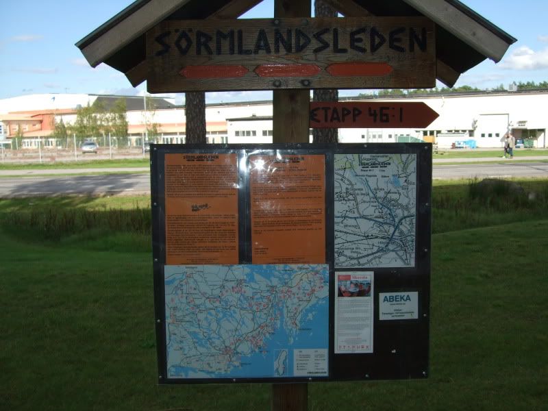
Anywho after an hours walk I came across:
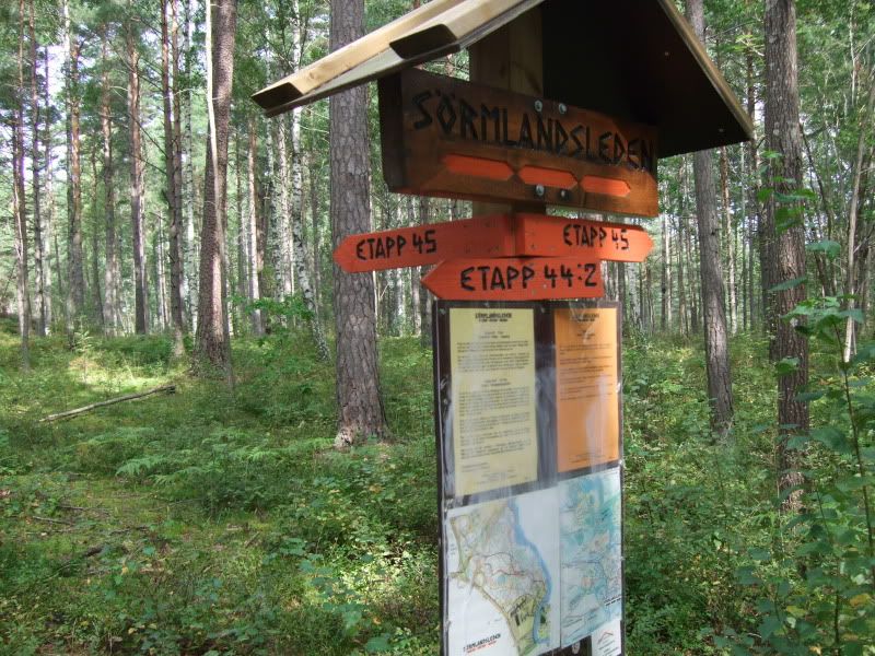
Realization at this point came as a shock that the directions had led me the wrong way along the trail.
Ok after a bit of a sit down and a chin scratch with enough time on my hands I headed back to the trail site to see where I had gone wrong.
The map I had bought for this part of the trip covered the start of the trail but there was an area of about 5km that it didn't cover. The downloadable map I had got to cover this part from the website proved to be very poor detail.
Anyway after re-orientation with the compass I set out again.
I should say at this point that the trail is marked by orange circles around trees. You would thing it would be like following arrows but as the main trail branches in several directions it becomes confusing as all branching trails are marked with the same orange tree flashings.
Another couple of hours of walking at I arrived here:

Yup you're right back to the same place.
With a calf injury sustained in Norway now yelling at me to stop I pitched camp.
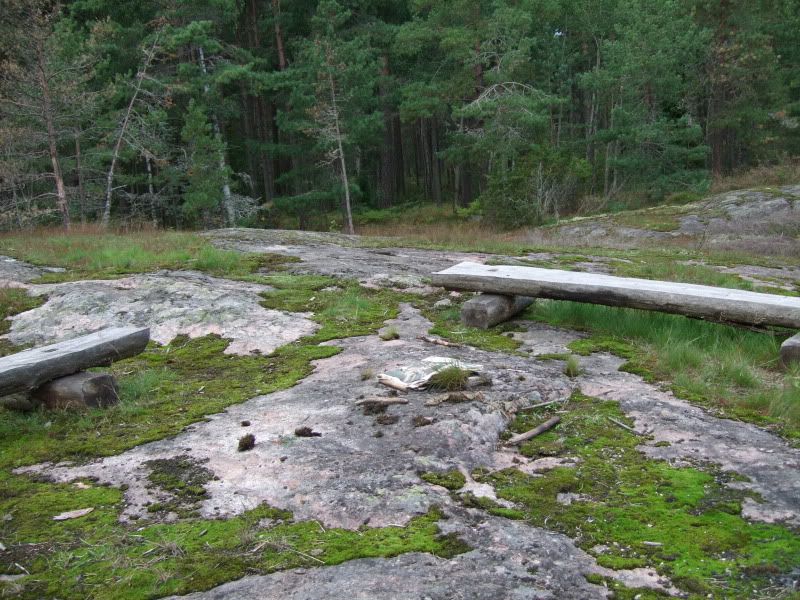
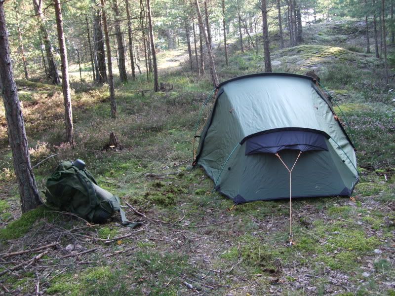
One very tired soul
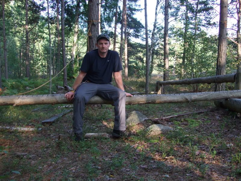
13 hours straight sleep and saturday started a lot better and a more determined happy camper.
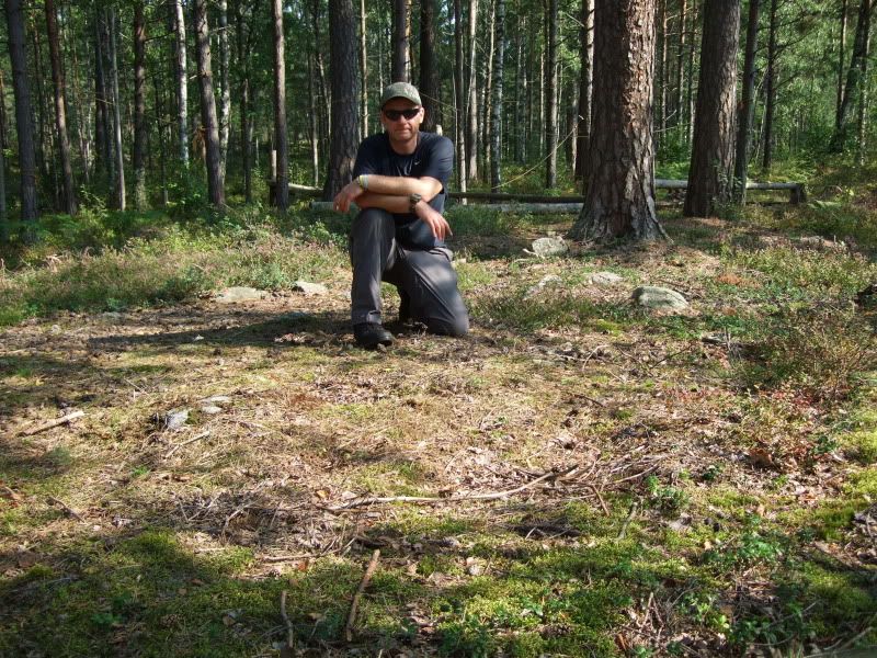
After another few hours of walking I finally found the route I had been looking for:
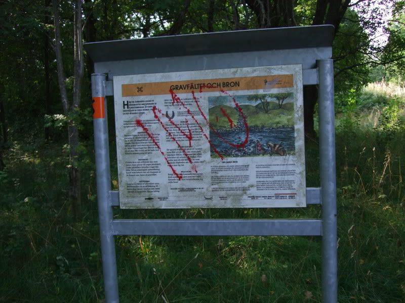
Not as obvious as you would thing as it was well hidden by the surrounding woodland.
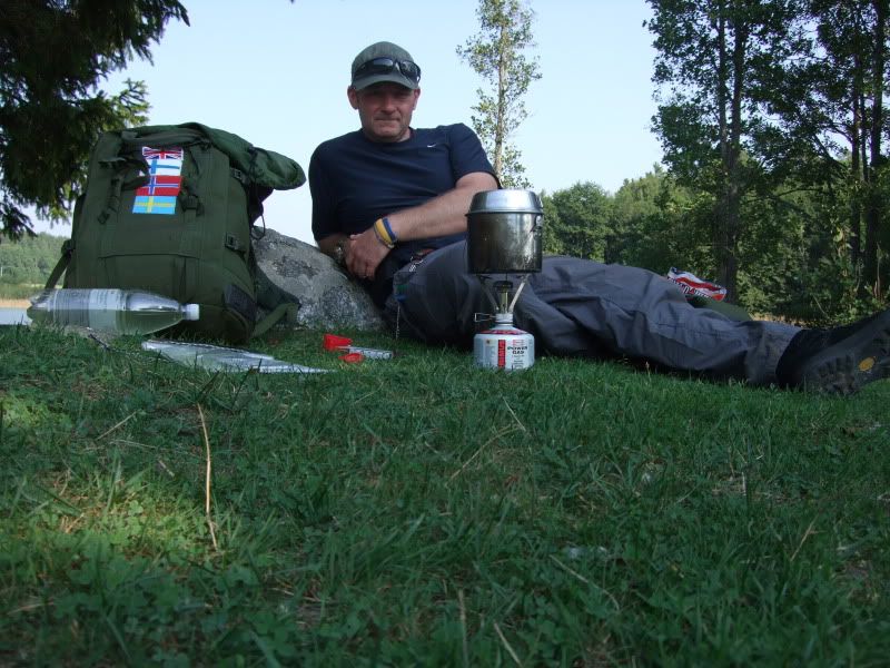
Ding Ding brew time
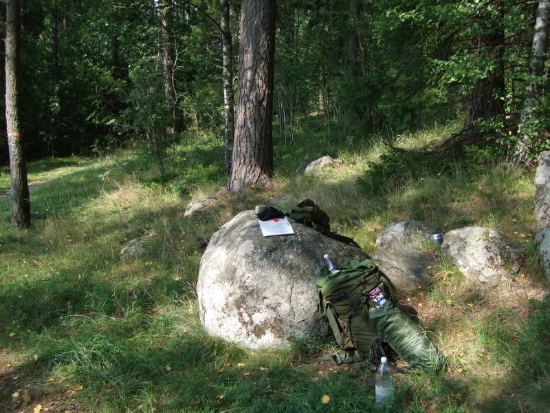
Plan at this point was to push onto Hovrasjon Lake and sleep over night in the wooden Lavvu.
A couple of metres passed where I stopped for lunch I came across this:
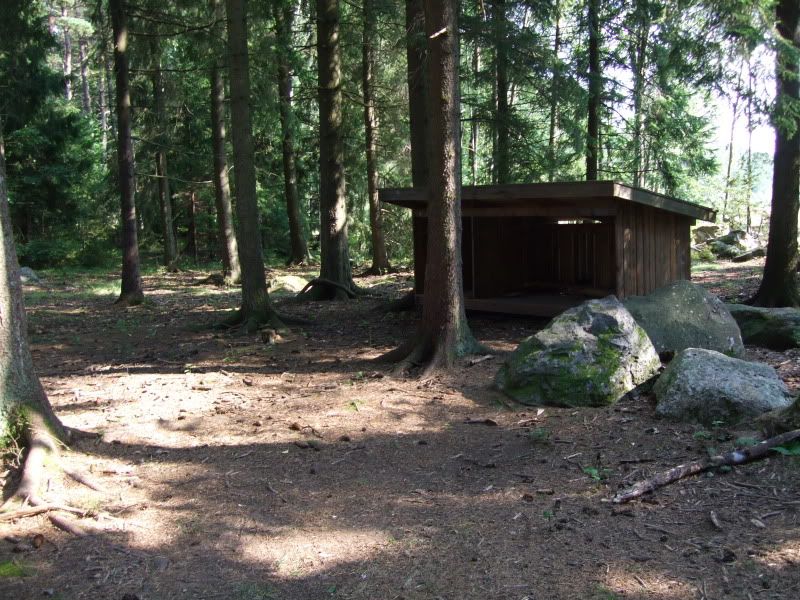
Time check and now with a fall back position in mind on we go.
An hour down the trail and I reach the Lavvu
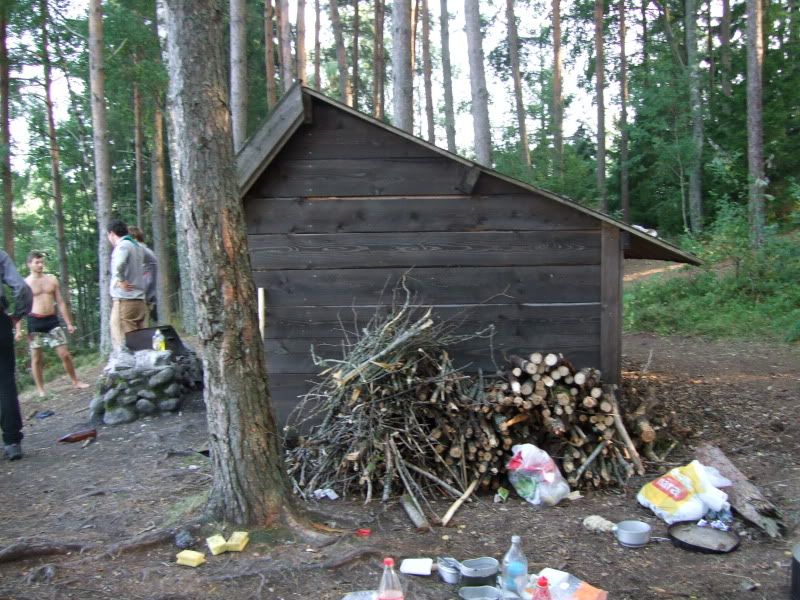
Yup occupied and looking like it will remain so for the foreseeble.
Not to worry maybe a little further will be a spot to pitch up.
Er no!
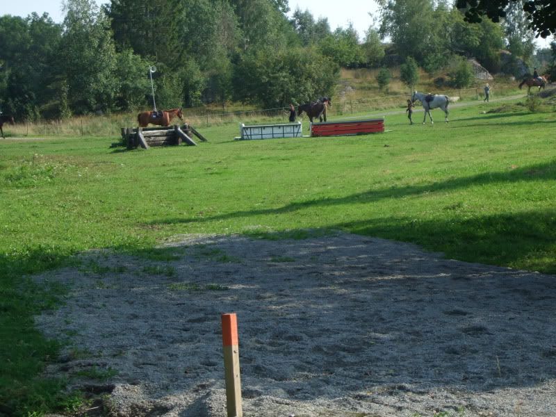
Brew, sit down and chin scratch time again
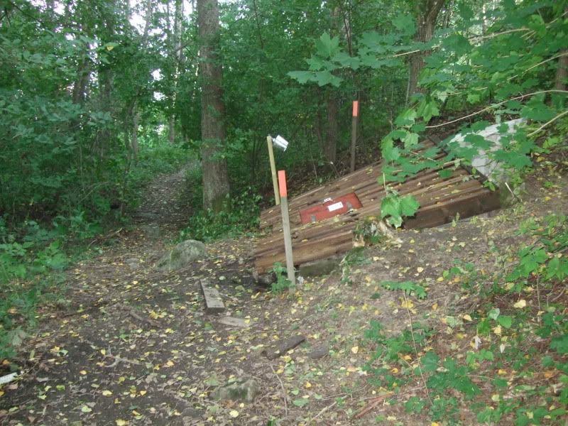
Found the fresh water spring
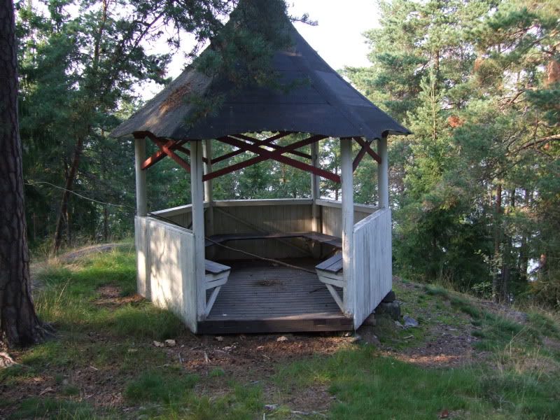
and the look out point
Ok decision made head back to lunch tim location.
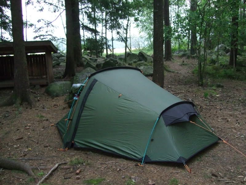
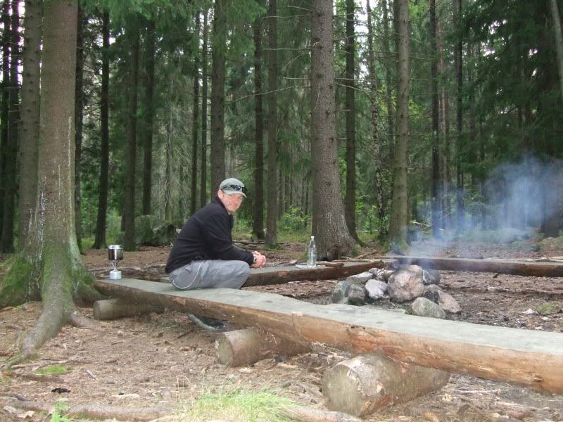
That evening the heavens opened and a massive thunder storm rocked the local woodland. To it's credit the Vango Banshee 300 never let in a drop of rain.
Sunday was departure day so back to the trail start and a bus to Nykoping followed by another to the airport.
Things at this point went erm, er well a bit Bear Grylls.
Here you can see the local woodland that is within 200 metres of the airport. Note the good sign leading into the wood.
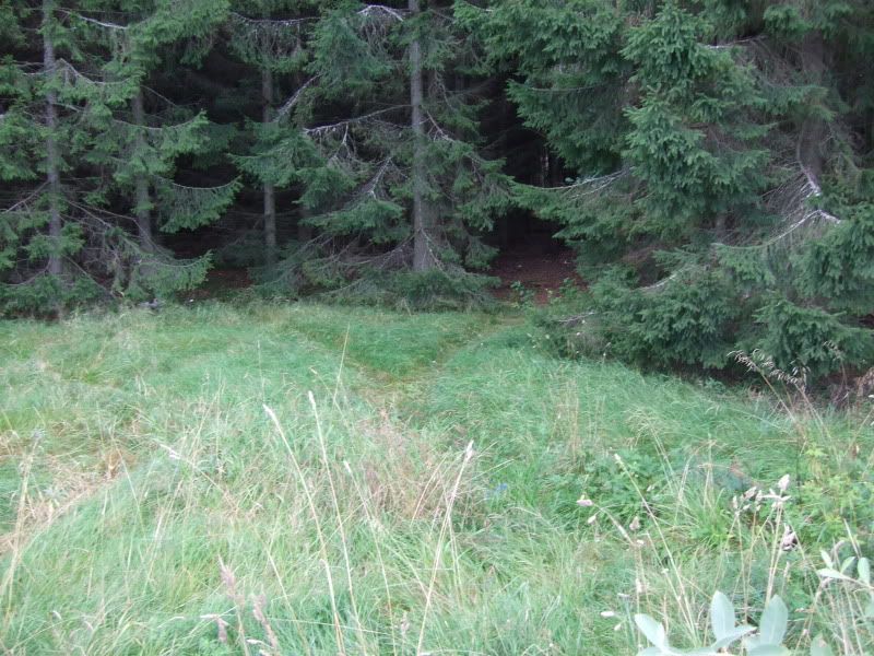
You speak to any one local and they will know what a Polar Bear is or even a Wolf.
Ok
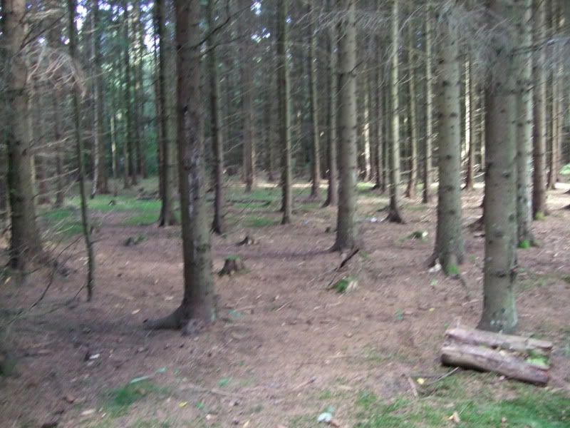
Rubbish left in the forest is a good sign that rodents will be in here so I set 10 snares.
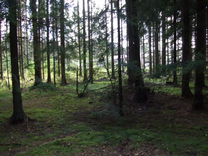
In this sort of dark forest you could encounter howler monkeys, vampires bats and blood sucking venomous mosquitos.
In a survival situation you could use the rubbish you find round woods and build a shelter
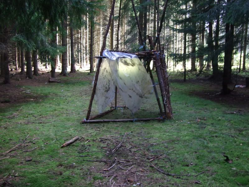
But we are not stopping here tonight.....
Nope
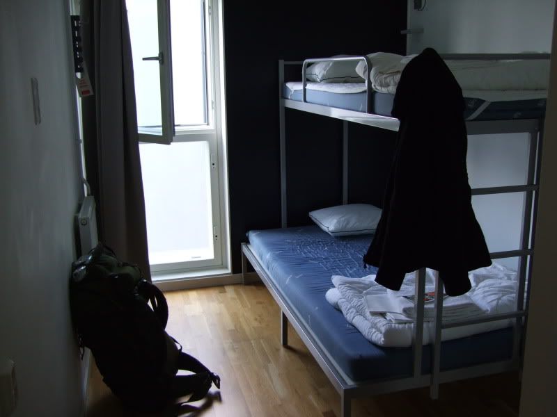
I stayed here
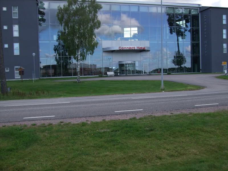
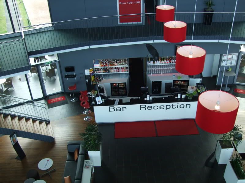
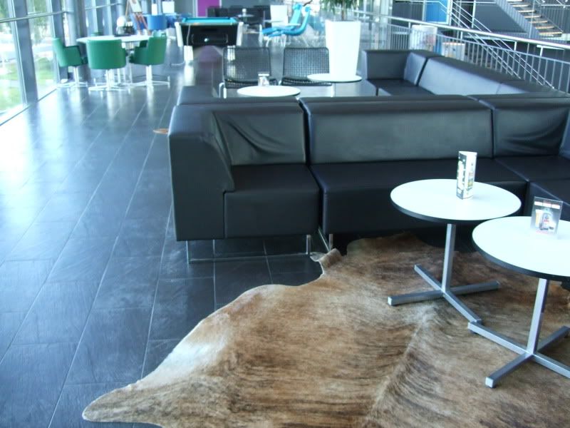
Ok so the rooms are pretty basic
Early start Monday morning and back home.
All in all not a bad trip. I guess a few school boy errors on my part and some misleading info kinda made this a difficult one but well worth a visit again I would say.
Thanks for looking.
Well it had to happen at some point and this was the trip.
Having had two very successful trips to Finland and Norway I figured it was about time to check out Sweden.
My route was taken from this website:
http://www.sormlandsleden.se/Default.aspx?langID=1033
I chose a route heading north from Nykoping to Svarta and built my agenda round that.
Thursday night found me twiddling my thumbs at Stansted Airport awaiting another early flight via a well known Irish airline.
Landing at Skavsta at 9am swedish time I caught a bus to the town centre.

A drop into a few stores to pick up gas, water and local intel from Tourist Information and now to the Trial Head via another bus connection.

Directions from the website were pretty misleading I found and were open to various different types of interpretation.
Anywho after an hours walk I came across:

Realization at this point came as a shock that the directions had led me the wrong way along the trail.
Ok after a bit of a sit down and a chin scratch with enough time on my hands I headed back to the trail site to see where I had gone wrong.
The map I had bought for this part of the trip covered the start of the trail but there was an area of about 5km that it didn't cover. The downloadable map I had got to cover this part from the website proved to be very poor detail.
Anyway after re-orientation with the compass I set out again.
I should say at this point that the trail is marked by orange circles around trees. You would thing it would be like following arrows but as the main trail branches in several directions it becomes confusing as all branching trails are marked with the same orange tree flashings.
Another couple of hours of walking at I arrived here:

Yup you're right back to the same place.
With a calf injury sustained in Norway now yelling at me to stop I pitched camp.


One very tired soul

13 hours straight sleep and saturday started a lot better and a more determined happy camper.

After another few hours of walking I finally found the route I had been looking for:

Not as obvious as you would thing as it was well hidden by the surrounding woodland.
Ding Ding brew time

Plan at this point was to push onto Hovrasjon Lake and sleep over night in the wooden Lavvu.
A couple of metres passed where I stopped for lunch I came across this:

Time check and now with a fall back position in mind on we go.
An hour down the trail and I reach the Lavvu

Yup occupied and looking like it will remain so for the foreseeble.
Not to worry maybe a little further will be a spot to pitch up.
Er no!

Brew, sit down and chin scratch time again

Found the fresh water spring

and the look out point

Ok decision made head back to lunch tim location.


That evening the heavens opened and a massive thunder storm rocked the local woodland. To it's credit the Vango Banshee 300 never let in a drop of rain.
Sunday was departure day so back to the trail start and a bus to Nykoping followed by another to the airport.
Things at this point went erm, er well a bit Bear Grylls.
Here you can see the local woodland that is within 200 metres of the airport. Note the good sign leading into the wood.

You speak to any one local and they will know what a Polar Bear is or even a Wolf.
Ok

Rubbish left in the forest is a good sign that rodents will be in here so I set 10 snares.

In this sort of dark forest you could encounter howler monkeys, vampires bats and blood sucking venomous mosquitos.
In a survival situation you could use the rubbish you find round woods and build a shelter

But we are not stopping here tonight.....
Nope
I stayed here


Ok so the rooms are pretty basic

Early start Monday morning and back home.

All in all not a bad trip. I guess a few school boy errors on my part and some misleading info kinda made this a difficult one but well worth a visit again I would say.
Thanks for looking.
Last edited:

