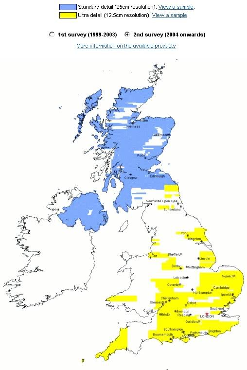
The new aerial overlay on multimap has decent photos of many areas of Scotland that weren't very well covered before on other systems.
http://www.multimap.com
http://www.multimap.com
Spent a while last night screengrabbing and piecing together tiles in autocad, now have A3 laminated prints of scotties pad showing every tree. Brilliant! Better than a map in many ways. Think I can even see a ruined village under the bracken.
The new aerial overlay on multimap has decent photos of many areas of Scotland that weren't very well covered before on other systems.
http://www.multimap.com
Great! You can't beat an aerial perspective for picking out those types of ground features. I remember being shown an aerial photo of my primary school playing field which clearly showed the old rigs - completely invisible from the ground.
I just had a look at my place and the image is at least 6 years old looking at the cars on the drive and the resolution is much lower than that of Google - nice interface though!
I just had a look at my place and the image is at least 6 years old looking at the cars on the drive and the resolution is much lower than that of Google - nice interface though!

One i've been using for a while is http://www.192.com/maps/?&MapSize=Large , you have to zoom through a few levels before you get to the aerial shots, but it is generally of a high resolution (even in Scotland).
