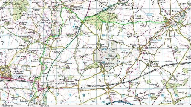
The weather has been good so tuesday afternoon as part of my 'get fit' program i decided to take a walk along the Cotswold way from my house with my dogs and a 25kg bergan. The route is approximately 13 miles although the Cotswold way path does not start (no this walk) till Hawksbury Upton. For this walk i used a combination of a OS 1:25,000 select and the excellent Havey Cotswold way long distance route map (the whole route on one map and waterproof - of particular note are the warning marks which show where they may be a particular nav difficulty due to route not marked multiple footpaths etc). Other nav equipment taken a Silva 54/4 a roamer and a small GPS non of which were required as the route is well defined in most places and where it is not the map was sufficient to easily follow the course. Id recommend this as a good afternoons walk with mixed woodland some greatviews natural and stunning cotwold villages - fairly flat with a few short and modest inclines and declines.
Below is the route from anquet.
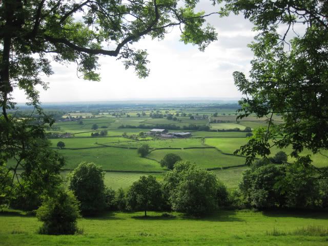
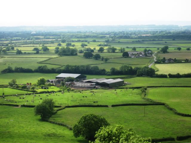
the top reaches of the River Avon
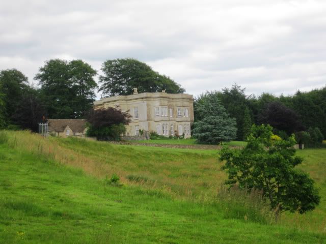
Lord Somersets Memorial
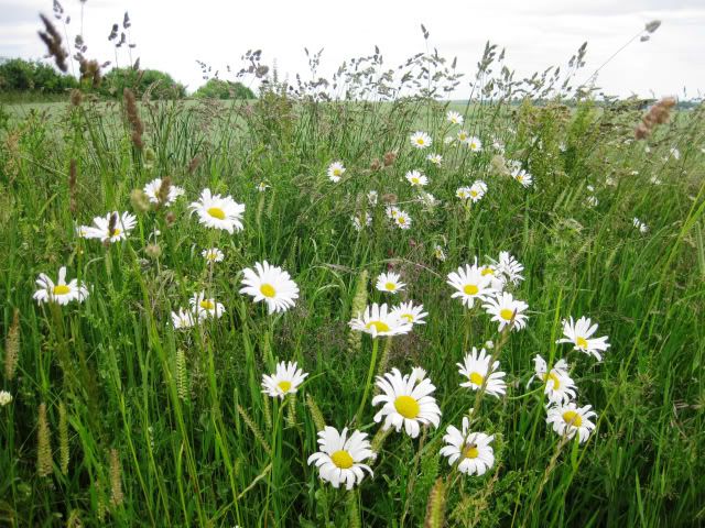
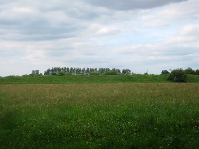
lengths of the field verges have been set aside and seeded to establish wild flower beds
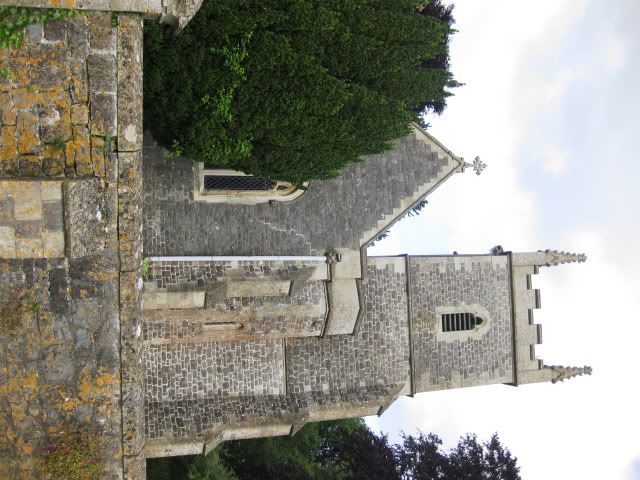
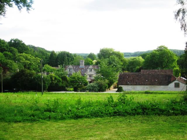
Church at Little Sodbury
Little Sodbury Hill fort
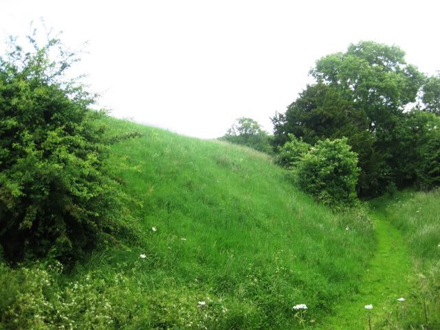
Little Sodbury Hill fort
Below is the route from anquet.
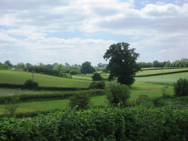
the top reaches of the River Avon
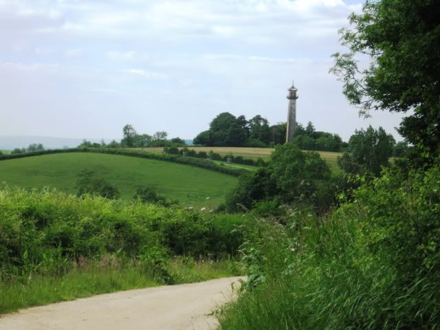
Lord Somersets Memorial
lengths of the field verges have been set aside and seeded to establish wild flower beds
Church at Little Sodbury
Little Sodbury Hill fort
Little Sodbury Hill fort
")