My original plan was to drive near to the start of my walk on the Friday night and camp out, but it rained all day and showed no sign of stopping by the time I finished work, so I changed my plans to a night in, a few glasses of wine and a film. It’s not that I object to a night out in the rain, it’s the fact that drying my gear is a massive hassle at the moment. I’m staying in a room the size of the box bedroom I had as a kid, so space is at a premium.
I had a good lie in on Saturday, and decided on one of the shorter walks that I’d route planned. This was also partly due to the fact that my new boots haven’t broken my feet in yet. I drove to Nösslinge, about 45 minutes away and parked the car near a picturesque old church.
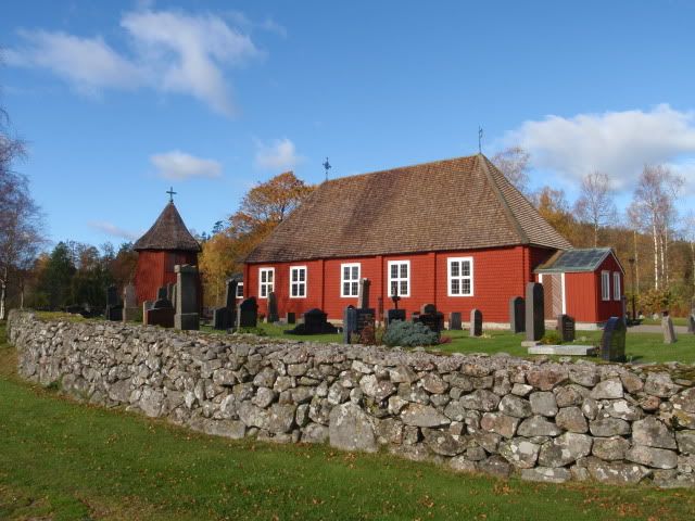
The start of the walk was straightforward, and it gave me a good chance to get used to the Swedish 1:50,000 map that I’d bought. I’ve been using OS 1:25,000 maps at home for years now and have got familiar with the high level of detail on them, so it was a bit of a shock going back to the scale that I learned to map read on. This lack of detail would result in some minor navigational glitches, of which more later. Once I crossed the bridge over the narrows of the lake,
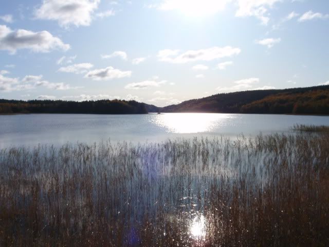
I joined the Halland Trail for a short distance. This trail takes you the length of Halland County, and links up with other trails through counties to the north and south, and ultimately forms part of the North Sea Trail that links together all of the countries surrounding the North Sea.
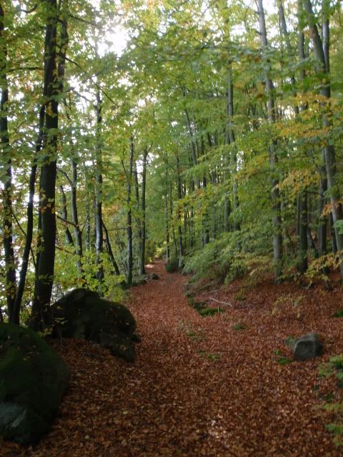
Alternating between the Halland Trail and forest tracks for the first mile and a half I made good progress, through scenery reminiscent of the deep dark woods in “The Gruffalo”.
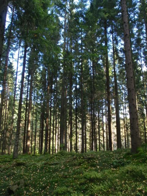
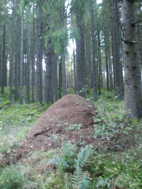
Anyone with kids under five who have read the story to them will be able to picture the scene immediately.
When these paths ended ( unfortunately in the middle of a small field, complete with fire ring, bag of rubbish and a discarded kettle ) I made my way south with a combination of bushwhacking, walking along the water’s edge
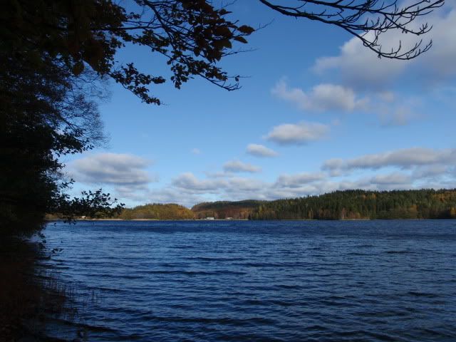
and following animal trails heading in my general direction.
At about the two mile point, I was forced inland and uphill by a big outcrop of rock that went down to the water’s edge, with it’s opposite number facing me on the peninsula across the water. At the top I took these pics, take a note of the big pine tree for scale later on.
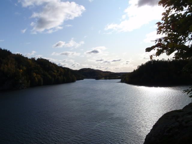
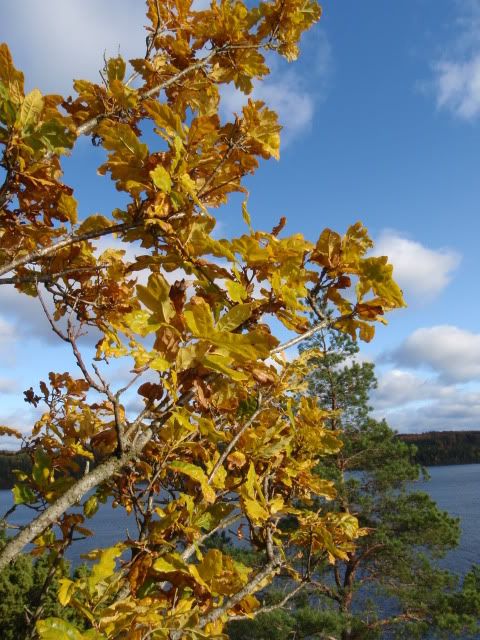
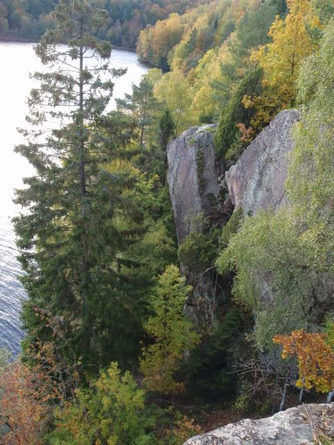
As I dropped down the other side of the outcrop,
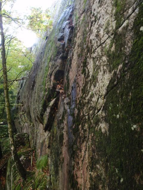
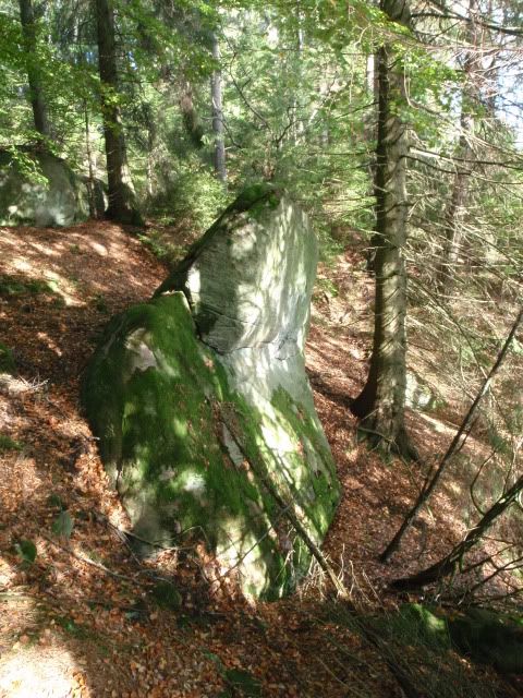
I passed several glacial erratics, of which I’d notice many more as I continued on my walk. There’s no shortage of stone in these woods.
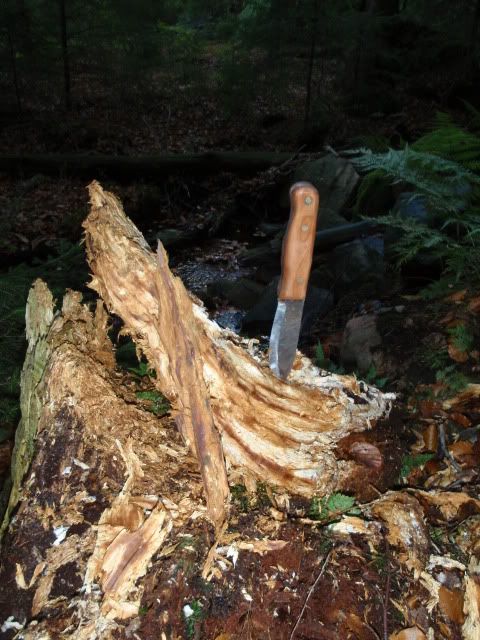
It was about this time that my boots started to rub in some bizarre places; under my right ankle bone on my right foot, on the sides of my heels on both feet and the Achilles tendon on my left foot. I adjusted my laces, cut myself a walking stick and set off to find somewhere for a brew. Crossing a stream, I found a fatwood stump and took some for later on. There was much more than I took, but I wasn’t even half way around yet so I left it where I found it.
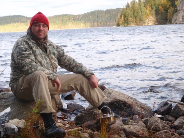
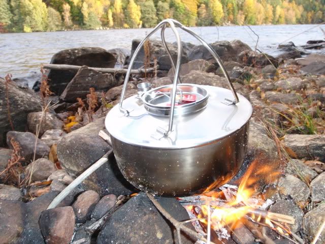
I got back onto a forest trail soon after, and took several pieces of bark off some downed birches as I passed for my fire. I found a place on the lakeshore with a good view and stopped for some tea and snacks. With the birchbark and fatwood the kettle was soon on the fire, and I sat down and refuelled.
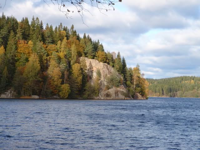
This is a view back to the rock outcrop that I had to skirt around. The pine tree that’s casting it’s shadow on the slab is the one that I took a photo looking down on earlier.
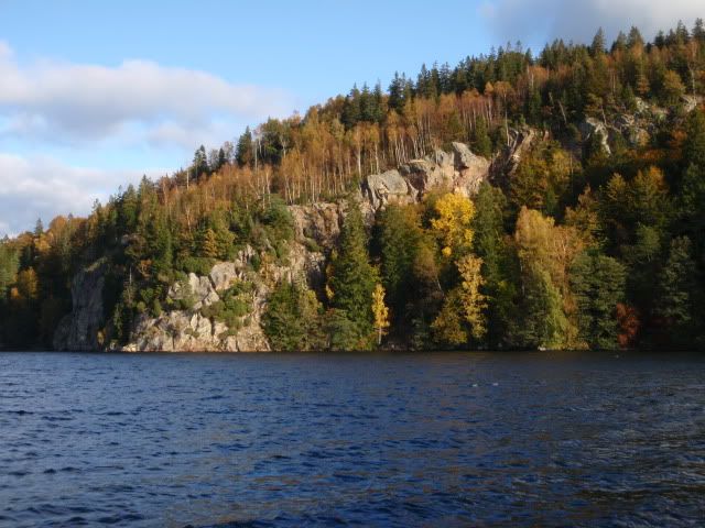
And opposite on the peninsula
Feeling much more energetic after my brew, I set off again and crossed some fields towards the woods at the back of the peninsula. It was in these woods that I had to backtrack a couple of times after realising that the overgrown paths that I’d walked past was actually the forest roads marked on the map that I should have taken. I kept on heading roughly north ( and finding the occasional chanterelle )
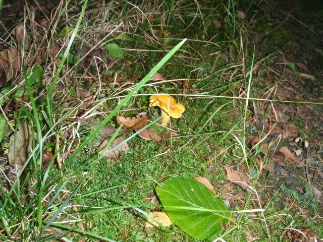
and gaining height until I reached a bald hilltop, where the setting sun gave the leaves a real golden haze.
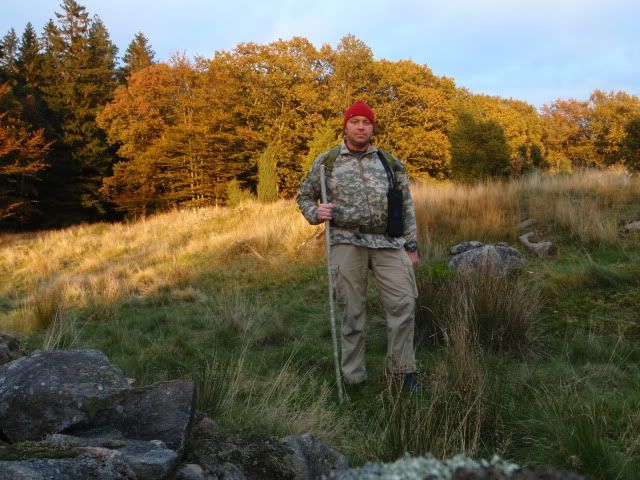
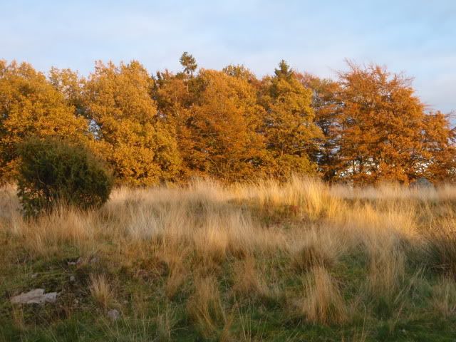
Re-entering the woods, I had a quick look at my compass to make sure that I was going north, aiming to intercept an east-west forest road that I would take east to gain another forest road that would take me north. I found a few more chanterelles, picked them and began looking for more. This is where I should have been taking much more care with my direction of travel, as when I found a forest track I assumed it was the one that I was looking for and turned right, walking along quite happily for a couple of hundred metres until I passed through a clearing, and the sun was on my right, not on my left as I was expecting. The compass came out again ( and stayed out this time ) and told me that I was heading almost due south, exactly the opposite direction that I wanted to be going. Despite being certain that I was on the correct path, and going in the right direction, I knew that it’s much better to trust your compass, so I turned around and walked north. My choice was soon vindicated when ( much to my relief ) I passed Furesjön, a small lake in the woods.
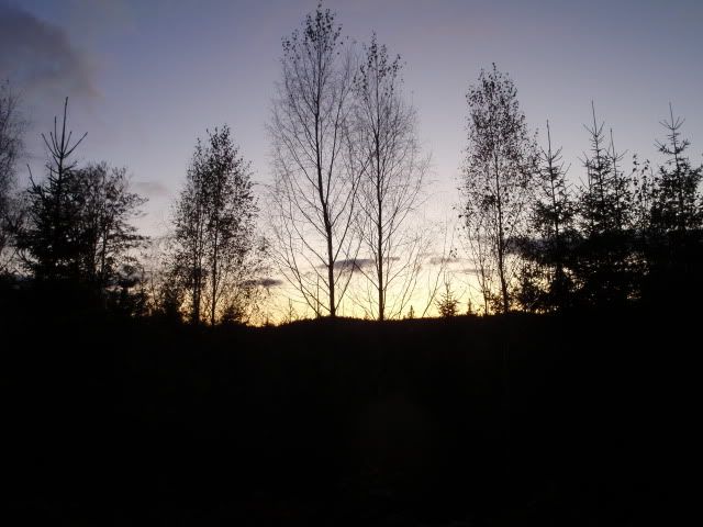
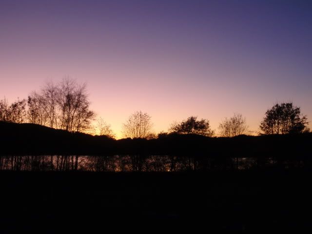
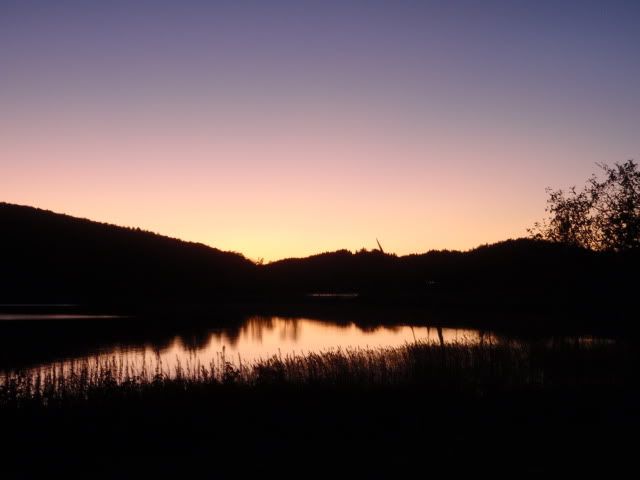
By this point then sun was below the horizon, and the temperature was dropping quickly as it got darker. Knowing that I was now on the correct track I pushed on quickly, reaching the car just before full dark.
All the best, Michael.
One of these links should show you where I went:
http://maps.google.se/maps?f=s&ie=UTF8&ll=57.194599,12.56424&spn=0.068079,0.15398&t=h&z=13
<iframe width="425" height="350" frameborder="0" scrolling="no" marginheight="0" marginwidth="0" src="http://maps.google.se/maps?f=s&ie=UTF8&ll=57.194599,12.56424&spn=0.068079,0.15398&t=h&z=13&output=embed"></iframe><br /><small><a href="http://maps.google.se/maps?f=s&ie=UTF8&ll=57.194599,12.56424&spn=0.068079,0.15398&t=h&z=13&source=embed" style="color:#0000FF;text-align:left">Visa större karta</a></small>
I had a good lie in on Saturday, and decided on one of the shorter walks that I’d route planned. This was also partly due to the fact that my new boots haven’t broken my feet in yet. I drove to Nösslinge, about 45 minutes away and parked the car near a picturesque old church.

The start of the walk was straightforward, and it gave me a good chance to get used to the Swedish 1:50,000 map that I’d bought. I’ve been using OS 1:25,000 maps at home for years now and have got familiar with the high level of detail on them, so it was a bit of a shock going back to the scale that I learned to map read on. This lack of detail would result in some minor navigational glitches, of which more later. Once I crossed the bridge over the narrows of the lake,

I joined the Halland Trail for a short distance. This trail takes you the length of Halland County, and links up with other trails through counties to the north and south, and ultimately forms part of the North Sea Trail that links together all of the countries surrounding the North Sea.
Alternating between the Halland Trail and forest tracks for the first mile and a half I made good progress, through scenery reminiscent of the deep dark woods in “The Gruffalo”.


Anyone with kids under five who have read the story to them will be able to picture the scene immediately.

When these paths ended ( unfortunately in the middle of a small field, complete with fire ring, bag of rubbish and a discarded kettle ) I made my way south with a combination of bushwhacking, walking along the water’s edge

and following animal trails heading in my general direction.
At about the two mile point, I was forced inland and uphill by a big outcrop of rock that went down to the water’s edge, with it’s opposite number facing me on the peninsula across the water. At the top I took these pics, take a note of the big pine tree for scale later on.


As I dropped down the other side of the outcrop,

I passed several glacial erratics, of which I’d notice many more as I continued on my walk. There’s no shortage of stone in these woods.

It was about this time that my boots started to rub in some bizarre places; under my right ankle bone on my right foot, on the sides of my heels on both feet and the Achilles tendon on my left foot. I adjusted my laces, cut myself a walking stick and set off to find somewhere for a brew. Crossing a stream, I found a fatwood stump and took some for later on. There was much more than I took, but I wasn’t even half way around yet so I left it where I found it.

I got back onto a forest trail soon after, and took several pieces of bark off some downed birches as I passed for my fire. I found a place on the lakeshore with a good view and stopped for some tea and snacks. With the birchbark and fatwood the kettle was soon on the fire, and I sat down and refuelled.


This is a view back to the rock outcrop that I had to skirt around. The pine tree that’s casting it’s shadow on the slab is the one that I took a photo looking down on earlier.

And opposite on the peninsula

Feeling much more energetic after my brew, I set off again and crossed some fields towards the woods at the back of the peninsula. It was in these woods that I had to backtrack a couple of times after realising that the overgrown paths that I’d walked past was actually the forest roads marked on the map that I should have taken. I kept on heading roughly north ( and finding the occasional chanterelle )

and gaining height until I reached a bald hilltop, where the setting sun gave the leaves a real golden haze.


Re-entering the woods, I had a quick look at my compass to make sure that I was going north, aiming to intercept an east-west forest road that I would take east to gain another forest road that would take me north. I found a few more chanterelles, picked them and began looking for more. This is where I should have been taking much more care with my direction of travel, as when I found a forest track I assumed it was the one that I was looking for and turned right, walking along quite happily for a couple of hundred metres until I passed through a clearing, and the sun was on my right, not on my left as I was expecting. The compass came out again ( and stayed out this time ) and told me that I was heading almost due south, exactly the opposite direction that I wanted to be going. Despite being certain that I was on the correct path, and going in the right direction, I knew that it’s much better to trust your compass, so I turned around and walked north. My choice was soon vindicated when ( much to my relief ) I passed Furesjön, a small lake in the woods.
By this point then sun was below the horizon, and the temperature was dropping quickly as it got darker. Knowing that I was now on the correct track I pushed on quickly, reaching the car just before full dark.


All the best, Michael.
One of these links should show you where I went:
http://maps.google.se/maps?f=s&ie=UTF8&ll=57.194599,12.56424&spn=0.068079,0.15398&t=h&z=13
<iframe width="425" height="350" frameborder="0" scrolling="no" marginheight="0" marginwidth="0" src="http://maps.google.se/maps?f=s&ie=UTF8&ll=57.194599,12.56424&spn=0.068079,0.15398&t=h&z=13&output=embed"></iframe><br /><small><a href="http://maps.google.se/maps?f=s&ie=UTF8&ll=57.194599,12.56424&spn=0.068079,0.15398&t=h&z=13&source=embed" style="color:#0000FF;text-align:left">Visa större karta</a></small>
